Coed Broneinion
Wood, Forest in Merionethshire
Wales
Coed Broneinion
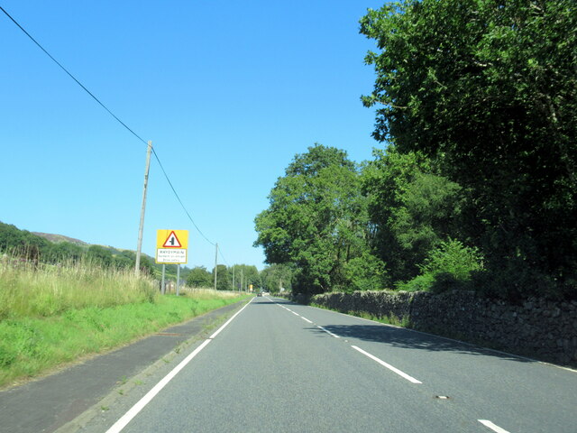
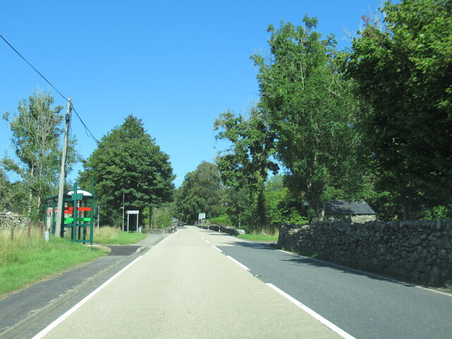
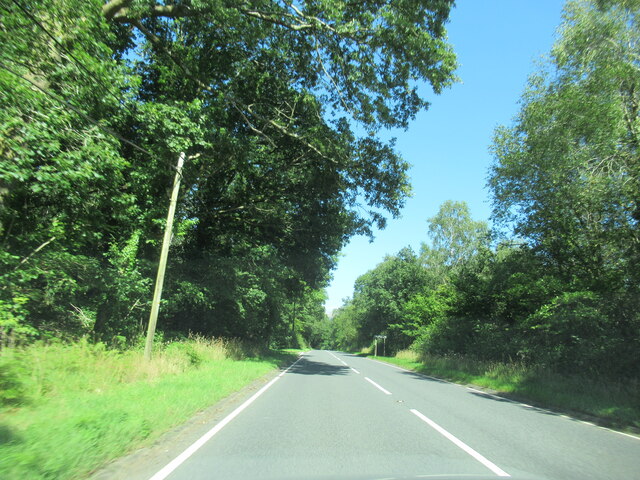
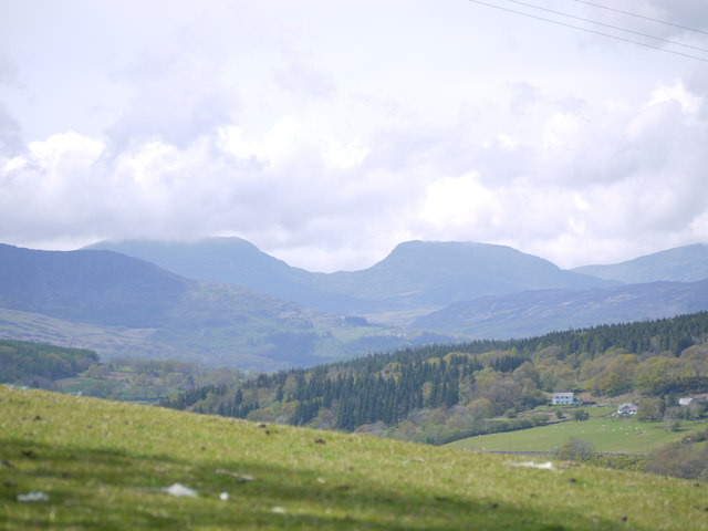
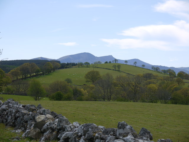
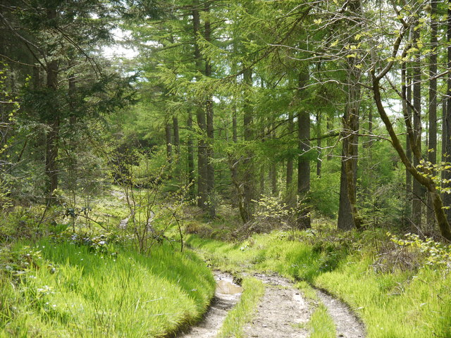
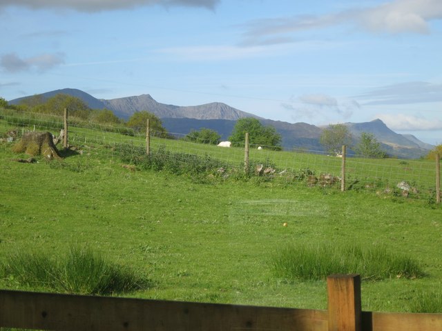
Coed Broneinion, situated in the county of Merionethshire in Wales, is a picturesque woodland that spans over a vast area. Known for its dense foliage and tall, majestic trees, this forest is a haven for nature enthusiasts and hikers alike.
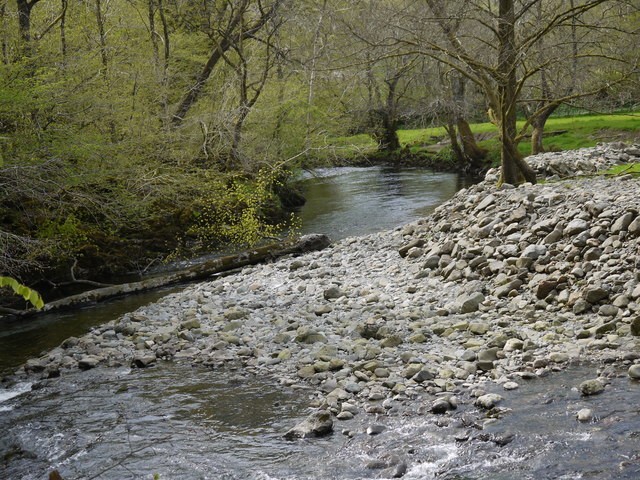
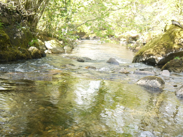
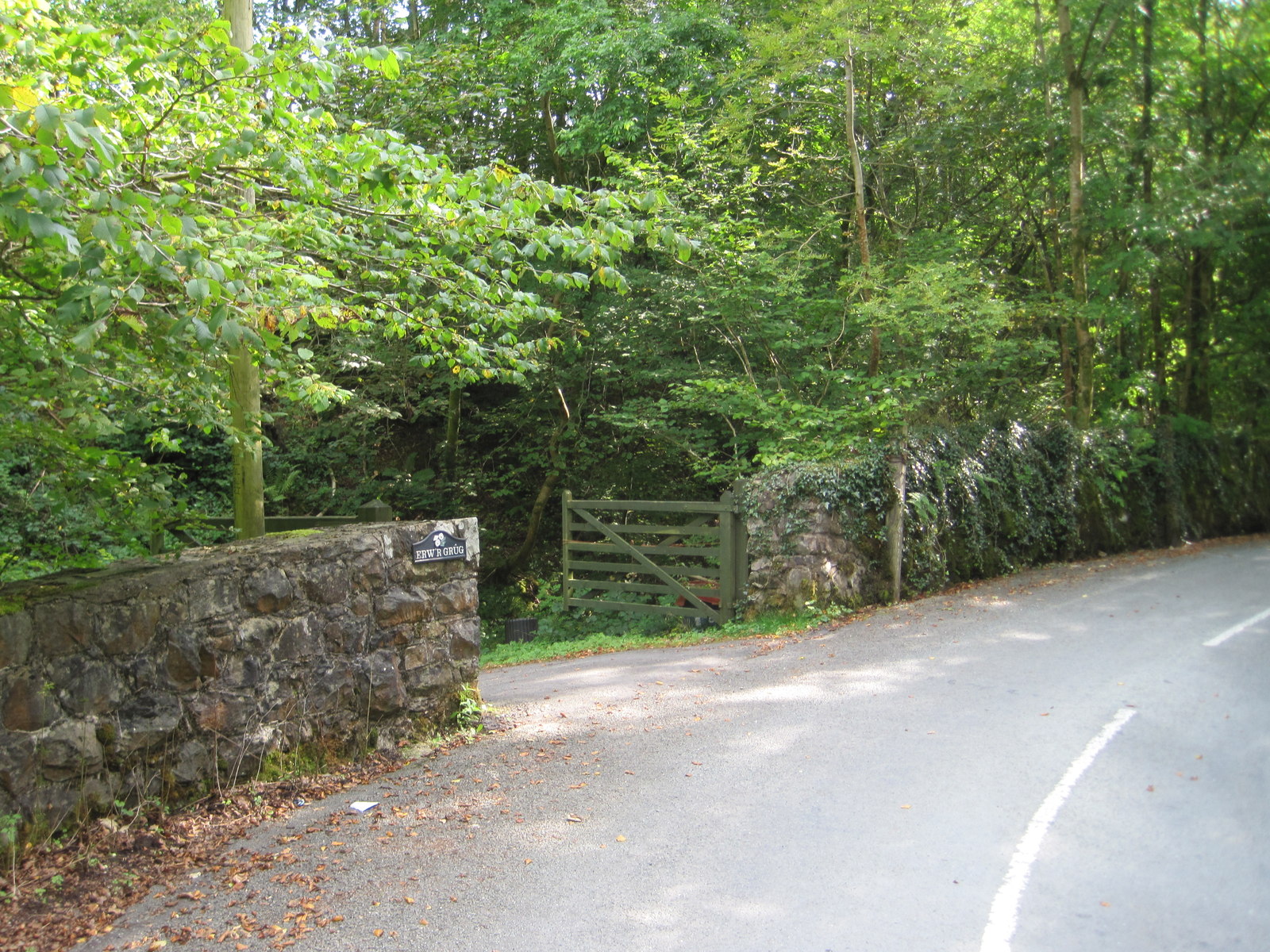
The wood is located in the southern part of Merionethshire, near the village of Aberllefenni. It is bordered by the River Dyfi to the north, providing a serene backdrop to the forest. Coed Broneinion is characterized by its diverse range of tree species, including oak, beech, birch, and pine. These trees create a vibrant and ever-changing landscape throughout the seasons, attracting visitors year-round.
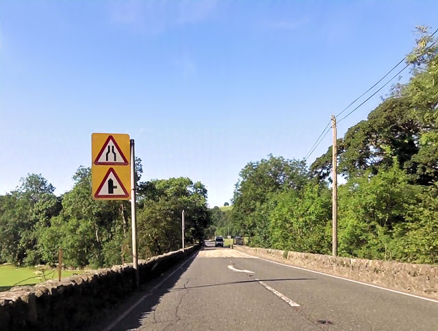
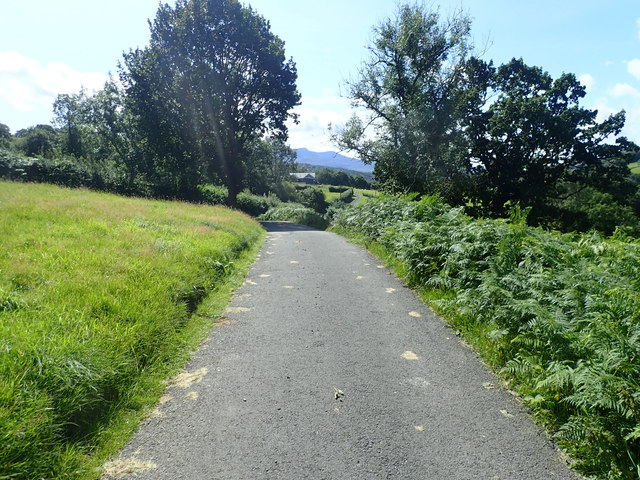
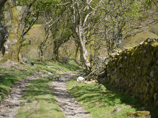
The forest is crisscrossed by numerous walking trails, allowing visitors to explore its beauty at their own pace. These paths lead to hidden gems, such as tranquil streams, charming waterfalls, and breathtaking viewpoints, offering stunning vistas of the surrounding countryside.
Coed Broneinion is also home to a rich variety of wildlife. Deer, foxes, badgers, and a wide array of bird species can be spotted within its boundaries. The forest provides a vital habitat for these creatures, contributing to the conservation efforts of the region.
For those seeking adventure, the wood offers opportunities for camping and picnicking, allowing visitors to immerse themselves in the natural surroundings. With its peaceful atmosphere and untouched beauty, Coed Broneinion is a place where visitors can reconnect with nature and enjoy a tranquil escape from the hustle and bustle of everyday life.
If you have any feedback on the listing, please let us know in the comments section below.
Coed Broneinion Images
Images are sourced within 2km of 52.774988/-3.8020631 or Grid Reference SH7821. Thanks to Geograph Open Source API. All images are credited.


Coed Broneinion is located at Grid Ref: SH7821 (Lat: 52.774988, Lng: -3.8020631)
Unitary Authority: Gwynedd
Police Authority: North Wales
What 3 Words
///conceals.outfitter.bouncing. Near Dolgellau, Gwynedd
Nearby Locations
Related Wikis

Brithdir and Llanfachreth
Brithdir and Llanfachreth is a community in the county of Gwynedd, Wales, near Dolgellau, and is 93.1 miles (149.8 km) from Cardiff and 178.4 miles (287...
Wnion Halt railway station
Wnion Halt (Pron: Oon-y'n) in Gwynedd, Wales, was on the Ruabon to Barmouth line. The station was situated in a narrow part of the Wnion Valley next to...
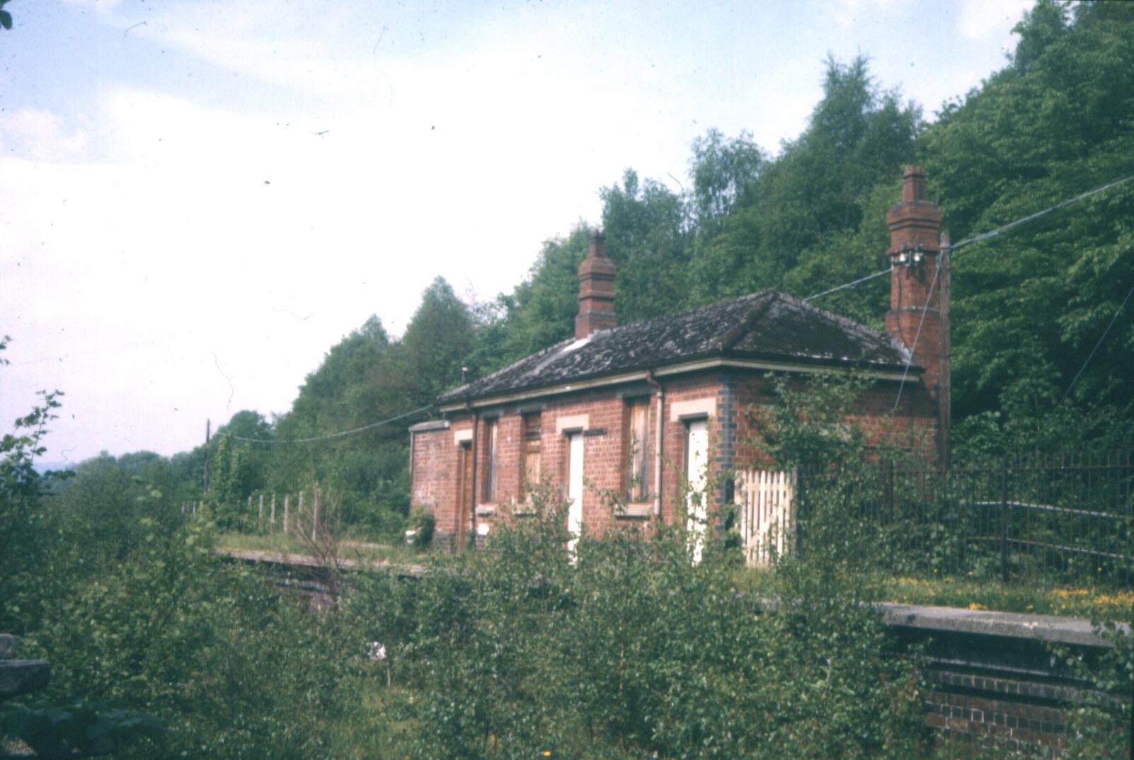
Bont Newydd railway station
Bont Newydd railway station (sometimes shown as Bontnewydd) in Gwynedd, Wales, was a station on the now-closed Ruabon to Barmouth line. Originally a single...

Brithdir, Gwynedd
Brithdir is a small hamlet on the outskirts of Dolgellau, Gwynedd in the community of Brithdir and Llanfachreth. The Arts and Crafts Movement St Mark's...
Nearby Amenities
Located within 500m of 52.774988,-3.8020631Have you been to Coed Broneinion?
Leave your review of Coed Broneinion below (or comments, questions and feedback).