Coed Baclaw
Wood, Forest in Caernarfonshire
Wales
Coed Baclaw
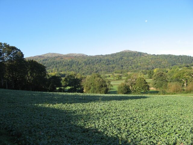
Coed Baclaw, located in Caernarfonshire, is a picturesque woodland area renowned for its natural beauty and diverse ecosystem. Nestled in the heart of North Wales, this ancient forest covers an area of approximately 400 hectares, making it an ideal destination for nature enthusiasts and outdoor lovers.
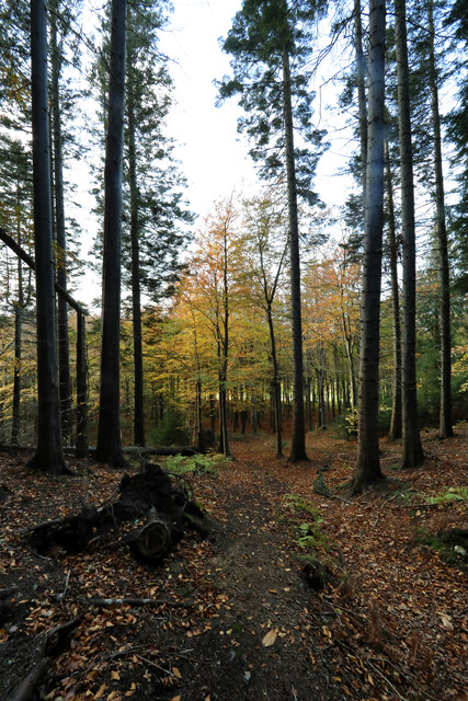
The woodland is characterized by a variety of tree species, including oak, beech, birch, and conifers, creating a vibrant and lush environment. The dense canopy provides shelter for a plethora of wildlife, making Coed Baclaw a haven for numerous bird species, mammals, and insects. Visitors can spot red kites soaring overhead, squirrels scurrying through the treetops, and deer grazing peacefully in the clearings.
The forest is crisscrossed by several well-maintained trails, offering visitors the opportunity to explore its enchanting landscape. These paths wind through ancient woodlands, alongside babbling brooks, and up to breathtaking viewpoints, providing stunning vistas of the surrounding countryside.
Coed Baclaw is not only a haven for nature lovers but also a site of historical significance. The forest has a rich cultural heritage, with traces of ancient settlements and historical landmarks scattered throughout. Ruins of old mills and lime kilns can be found, serving as a reminder of the area's industrial past.
Whether one seeks solace in nature, wants to indulge in outdoor activities such as hiking or birdwatching, or simply wishes to immerse themselves in the tranquility of the Welsh countryside, Coed Baclaw is a place that promises to captivate and inspire all who visit.
If you have any feedback on the listing, please let us know in the comments section below.
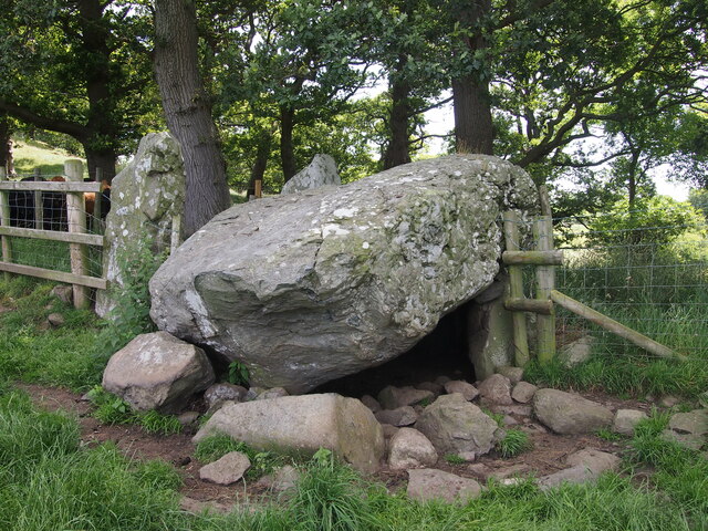
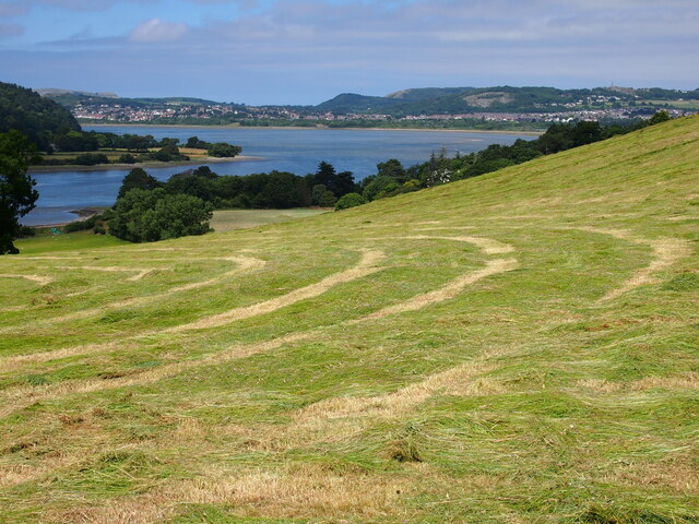
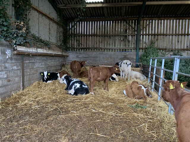
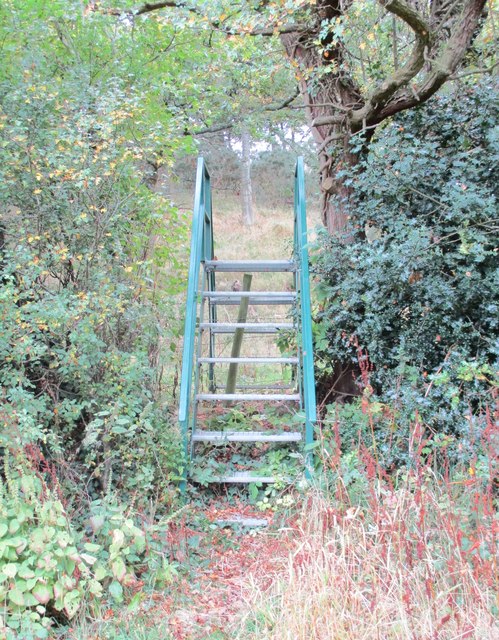
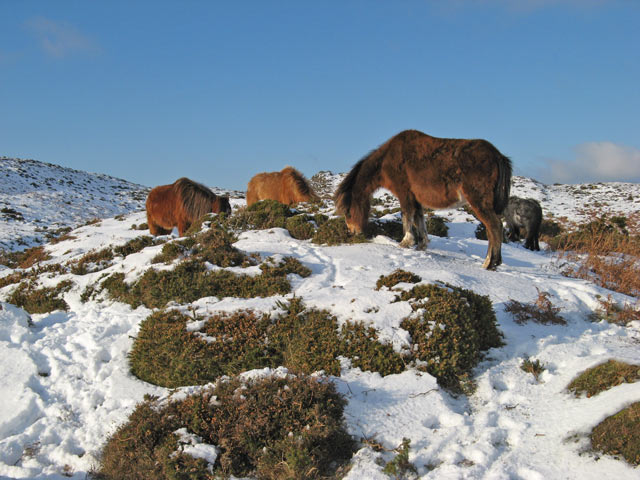
Coed Baclaw Images
Images are sourced within 2km of 53.25675/-3.830696 or Grid Reference SH7774. Thanks to Geograph Open Source API. All images are credited.


Coed Baclaw is located at Grid Ref: SH7774 (Lat: 53.25675, Lng: -3.830696)
Unitary Authority: Conwy
Police Authority: North Wales
What 3 Words
///headless.gladiator.protests. Near Llansantffraid Glan Conwy, Conwy
Nearby Locations
Related Wikis
Henryd
Henryd () is a village and community on the western slopes of the Conwy valley in Conwy county borough, north Wales. It lies about 2 miles (3.2 km) south...
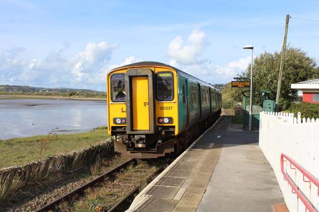
Glan Conwy railway station
Glan Conwy railway station is on the east bank of the River Conwy on the A470 road in the centre of the village of Llansanffraid Glan Conwy, Wales and...
Afon Gyffin
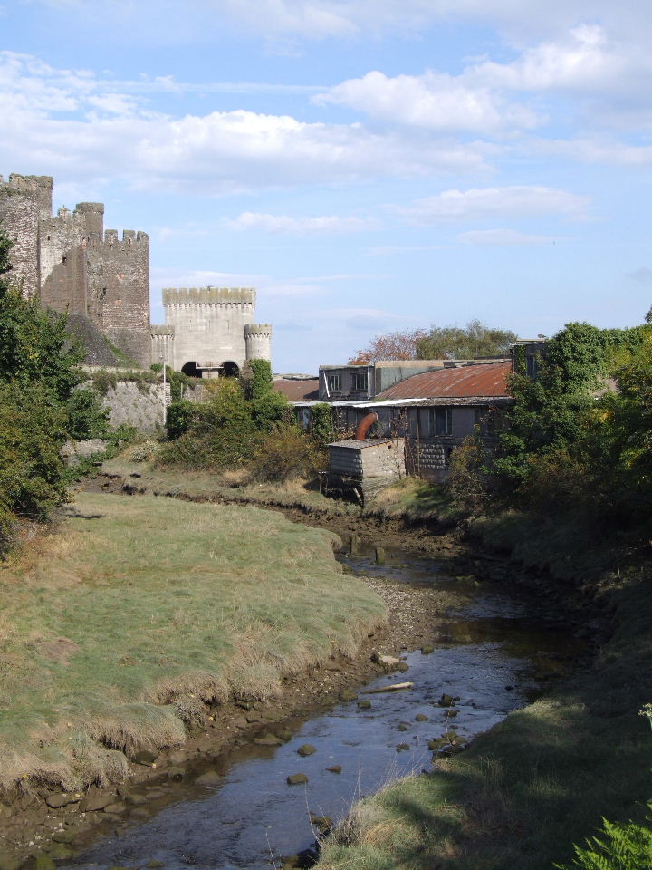
The Afon Gyffin ("River Gyffin") is a river in Conwy County Borough. == Geography == The river runs into the River Conwy close to Conwy Castle. An area...
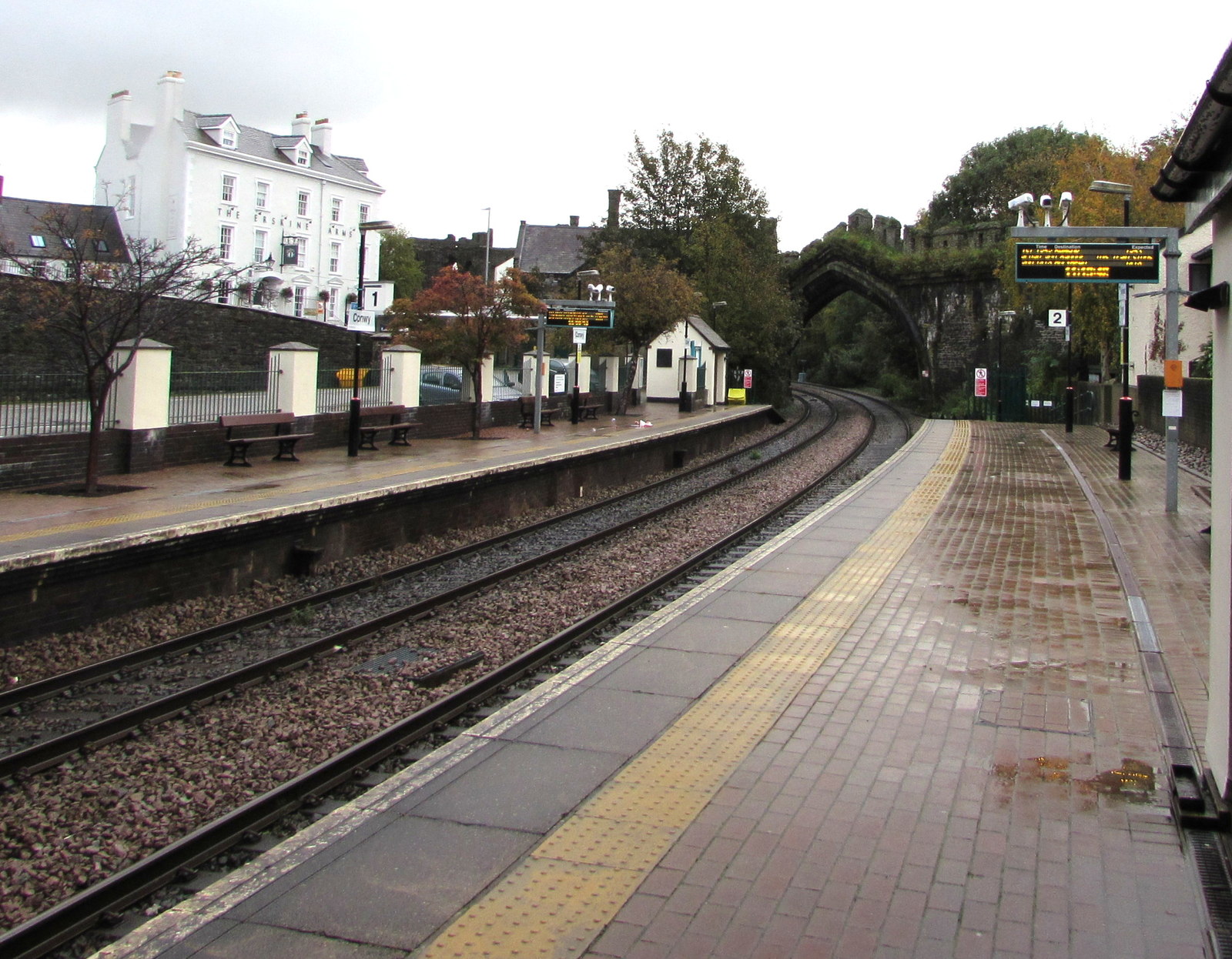
Conwy railway station
Conwy railway station serves the town of Conwy, north Wales, and is located on the North Wales Main Line, between Crewe and Holyhead. It is served by Transport...
Nearby Amenities
Located within 500m of 53.25675,-3.830696Have you been to Coed Baclaw?
Leave your review of Coed Baclaw below (or comments, questions and feedback).