Coed Bryn-glorian
Wood, Forest in Caernarfonshire
Wales
Coed Bryn-glorian
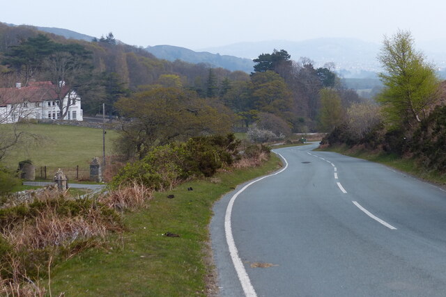
Coed Bryn-glorian is a scenic woodland located in Caernarfonshire, Wales. Spread across a vast area, it serves as a popular destination for nature enthusiasts and outdoor adventurers. The wood is situated just a few miles southwest of the town of Caernarfon, making it easily accessible for visitors from both nearby areas and further afield.
This ancient forest is characterized by its diverse range of tree species, including oak, beech, ash, and birch. The dense canopy provides a haven for wildlife, with various bird species, small mammals, and insects thriving within its boundaries. Nature lovers can enjoy birdwatching, as the wood is home to species such as the great spotted woodpecker, tawny owl, and redstart.
The wood offers a network of well-maintained trails, allowing visitors to explore its natural beauty while enjoying a leisurely walk or a challenging hike. The paths wind through the woodland, offering glimpses of picturesque streams, moss-covered rocks, and vibrant wildflowers. Additionally, the wood boasts breathtaking viewpoints, providing visitors with stunning vistas of the surrounding countryside.
Coed Bryn-glorian is not only a place of natural beauty but also holds historical significance. It is believed that the woodland has been present for thousands of years and has witnessed the passage of time. The remnants of ancient settlements and burial sites can be found within its boundaries, hinting at the rich cultural heritage that envelops the area.
In summary, Coed Bryn-glorian is a captivating woodland in Caernarfonshire, offering a haven of tranquility and natural beauty. Whether visitors are seeking a peaceful stroll or an adventurous exploration, this wood provides an idyllic setting for all nature enthusiasts.
If you have any feedback on the listing, please let us know in the comments section below.
Coed Bryn-glorian Images
Images are sourced within 2km of 53.270887/-3.8403281 or Grid Reference SH7776. Thanks to Geograph Open Source API. All images are credited.


Coed Bryn-glorian is located at Grid Ref: SH7776 (Lat: 53.270887, Lng: -3.8403281)
Unitary Authority: Conwy
Police Authority: North Wales
What 3 Words
///mystified.audit.hoops. Near Conwy
Nearby Locations
Related Wikis

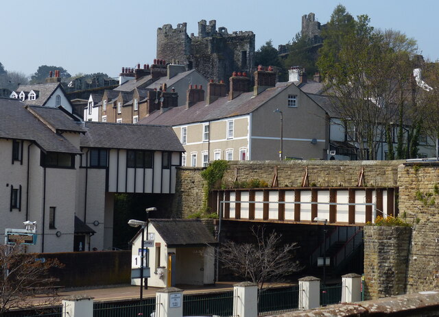
Conwy town walls
Conwy's town walls are a medieval defensive structure around the town of Conwy in Wales. The walls were constructed between 1283 and 1287 after the foundation...
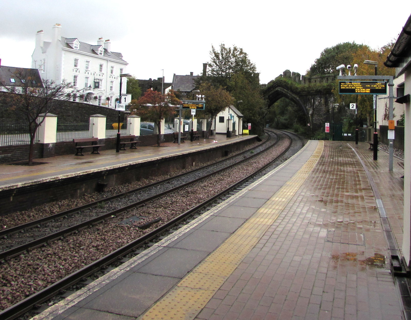
Conwy railway station
Conwy railway station serves the town of Conwy, north Wales, and is located on the North Wales Main Line, between Crewe and Holyhead. It is served by Transport...

Albion Ale House
The Albion Ale House or The Albion is a Grade II listed public house in Conwy, North Wales. Built in 1921, it is a three-room pub with Art Nouveau decor...

Battle of the Conwy
The Battle of the Conwy took place in 881 between King Anarawd and his brothers of the northern Welsh Kingdom of Gwynedd and a Mercian army almost certainly...
Nearby Amenities
Located within 500m of 53.270887,-3.8403281Have you been to Coed Bryn-glorian?
Leave your review of Coed Bryn-glorian below (or comments, questions and feedback).