Burston
Settlement in Norfolk South Norfolk
England
Burston
Burston is a small village located in Norfolk, England. Situated approximately 12 miles southeast of the city of Norwich, Burston is nestled in the picturesque countryside of East Anglia. The village is part of the South Norfolk district and falls within the civil parish of Burston and Shimpling.
With a population of around 500 residents, Burston retains a close-knit and community-oriented atmosphere. The village is renowned for its historical significance, particularly due to the Burston Strike School. In 1914, the local schoolteachers, Tom and Kitty Higdon, led a strike against unfair treatment and working conditions. The strike lasted for over 25 years and became a symbol of resistance and activism.
Burston also boasts a charming village center, featuring a traditional pub, The Crown Inn, which dates back to the 17th century. The pub offers a cozy and welcoming atmosphere, serving both locals and visitors with a variety of food and drink options.
Surrounded by beautiful rural landscapes, Burston offers opportunities for outdoor activities such as walking, cycling, and exploring the nearby Norfolk Broads. The village is also conveniently located near several notable attractions, including the historic market town of Diss and the stunning Thetford Forest Park.
Overall, Burston presents itself as a tranquil and historically significant village, providing a peaceful retreat for both residents and tourists who appreciate the charm of rural Norfolk.
If you have any feedback on the listing, please let us know in the comments section below.
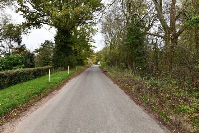
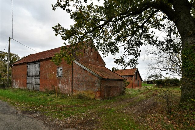
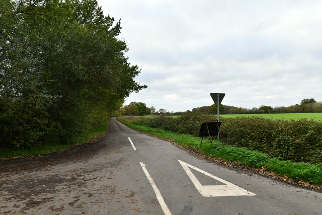
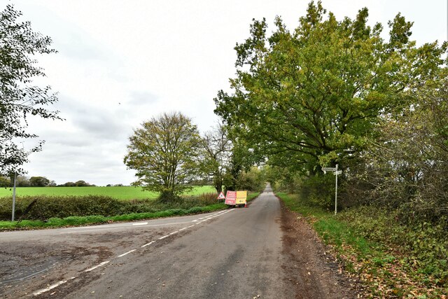
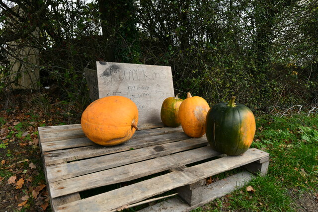
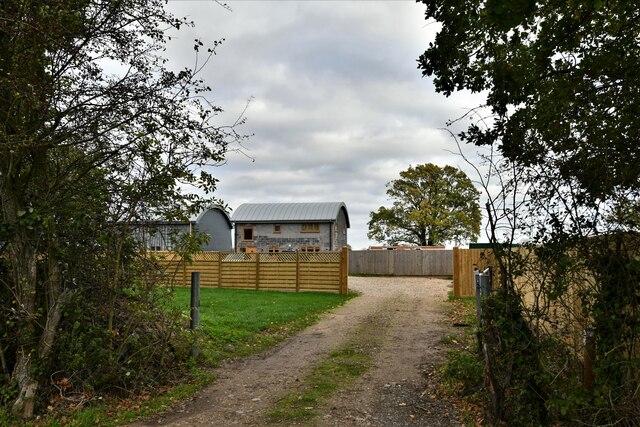
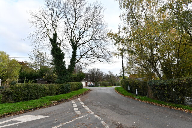
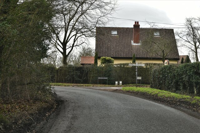
Burston Images
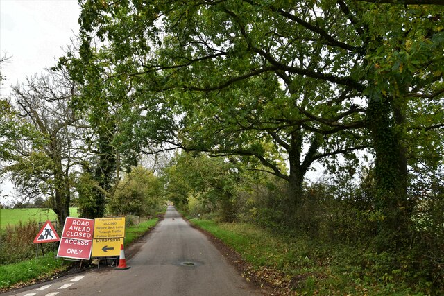
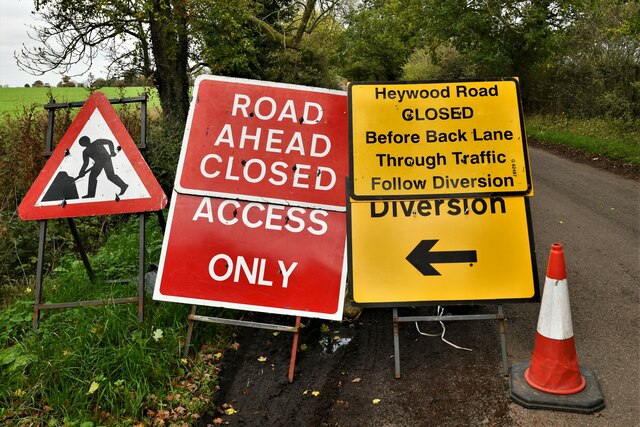
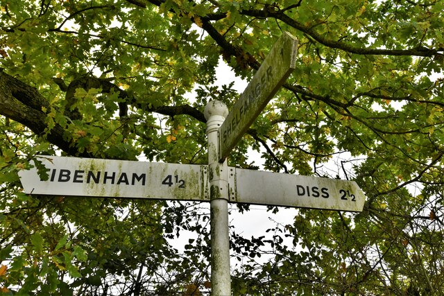
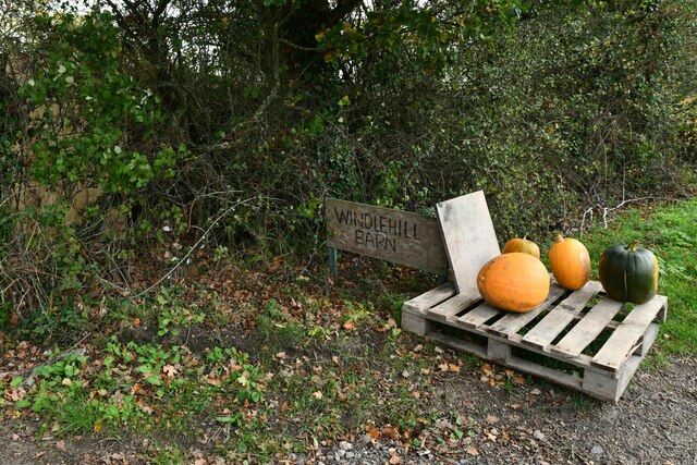
Images are sourced within 2km of 52.403978/1.1421624 or Grid Reference TM1383. Thanks to Geograph Open Source API. All images are credited.


Burston is located at Grid Ref: TM1383 (Lat: 52.403978, Lng: 1.1421624)
Administrative County: Norfolk
District: South Norfolk
Police Authority: Norfolk
What 3 Words
///cashiers.weds.slides. Near Dickleburgh, Norfolk
Nearby Locations
Related Wikis

Burston Strike School
The Burston Strike School was founded as a consequence of a school strike and became the centre of the longest running strike in British history, that...

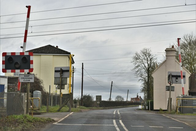
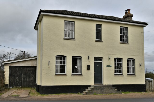
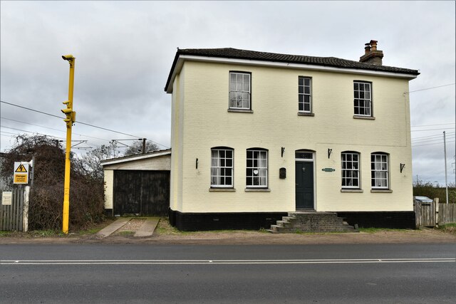
Burston railway station
Burston railway station was on the Diss to Norwich line and served the village of Burston, Norfolk. Only the station building remains; the signal box has...
Burston and Shimpling
Burston and Shimpling is a civil parish in the county of Norfolk, England. The parish covers an area of 9.17 km2 (3.54 sq mi) and had a population of 538...

Burston, Norfolk
Burston is a village and former civil parish, now in the parish of Burston and Shimpling, in the South Norfolk district, in the county of Norfolk, England...
Nearby Amenities
Located within 500m of 52.403978,1.1421624Have you been to Burston?
Leave your review of Burston below (or comments, questions and feedback).