Coed Isa
Wood, Forest in Merionethshire
Wales
Coed Isa
The requested URL returned error: 429 Too Many Requests
If you have any feedback on the listing, please let us know in the comments section below.
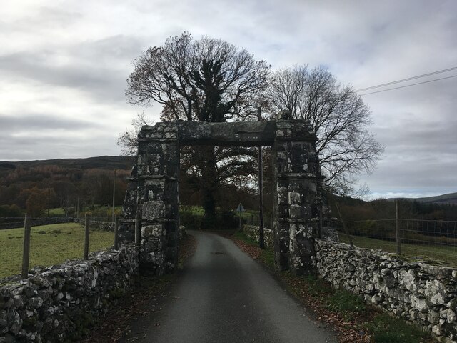
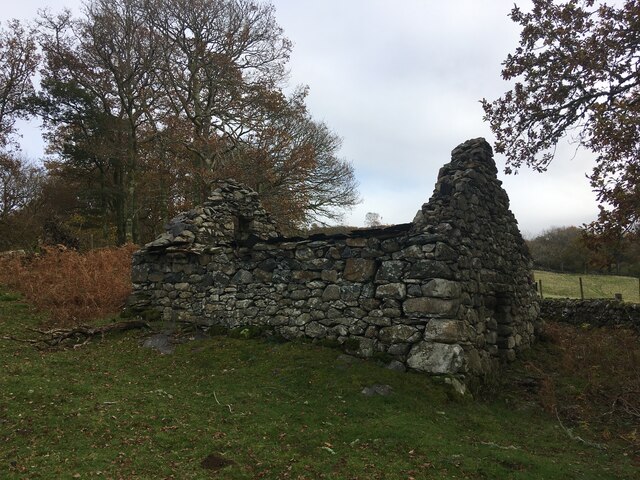
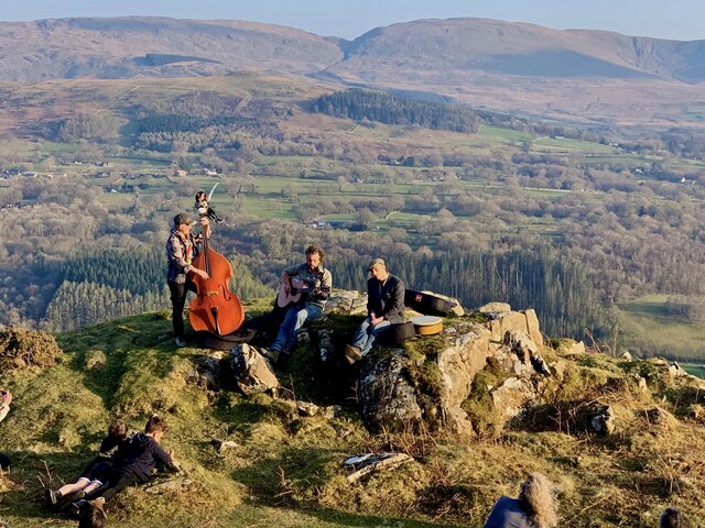
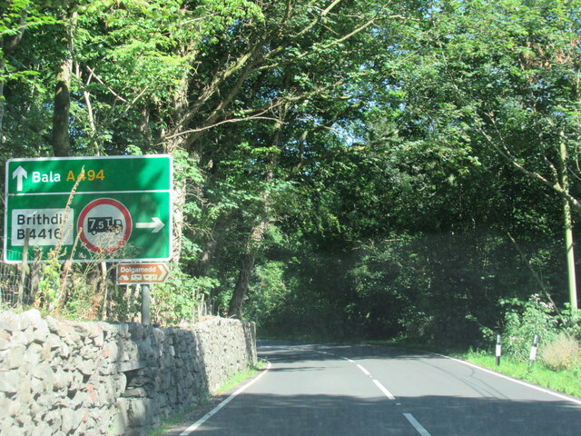
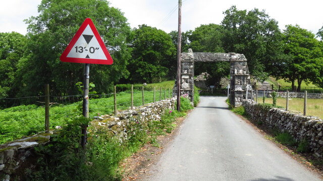
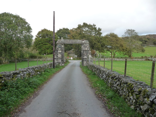
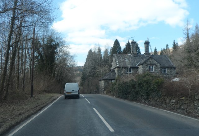
Coed Isa Images
Images are sourced within 2km of 52.766656/-3.8260428 or Grid Reference SH7620. Thanks to Geograph Open Source API. All images are credited.


Coed Isa is located at Grid Ref: SH7620 (Lat: 52.766656, Lng: -3.8260428)
Unitary Authority: Gwynedd
Police Authority: North Wales
What 3 Words
///apartment.cupboards.breakfast. Near Dolgellau, Gwynedd
Nearby Locations
Related Wikis
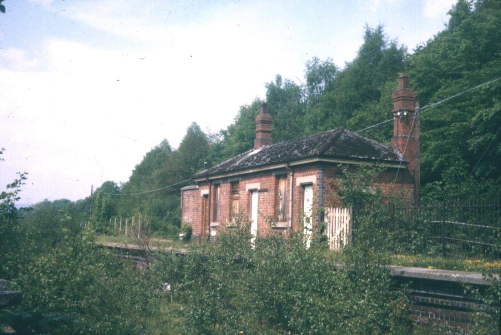
Bont Newydd railway station
Bont Newydd railway station (sometimes shown as Bontnewydd) in Gwynedd, Wales, was a station on the now-closed Ruabon to Barmouth line. Originally a single...

Meirionnydd
Meirionnydd is a coastal and mountainous region of Wales. It has been a kingdom, a cantref, a district and, as Merionethshire, a county. == Kingdom... ==

Brithdir, Gwynedd
Brithdir is a small hamlet on the outskirts of Dolgellau, Gwynedd in the community of Brithdir and Llanfachreth. The Arts and Crafts Movement St Mark's...

Dolserau Halt railway station
Dolserau Halt (Pron: Dol-seh-rye) in Gwynedd, Wales, was on the Ruabon to Barmouth line. The platform edge was made of timber and was situated on the north...
Nearby Amenities
Located within 500m of 52.766656,-3.8260428Have you been to Coed Isa?
Leave your review of Coed Isa below (or comments, questions and feedback).