Coed Hendre
Wood, Forest in Caernarfonshire
Wales
Coed Hendre
Coed Hendre is a picturesque woodland located in Caernarfonshire, a historic county in Wales. Nestled amidst the stunning countryside, this woodland covers an area of approximately 100 acres. The name "Coed Hendre" translates to "Wood" or "Forest" in Welsh, perfectly capturing the essence of this serene natural haven.
The woodland boasts a diverse range of tree species, including oak, beech, and birch, creating a rich and vibrant ecosystem. The dense canopy provides shade and shelter for a variety of wildlife, such as squirrels, birds, and small mammals, making it a popular spot for nature enthusiasts and birdwatchers.
Coed Hendre offers a network of well-maintained trails and footpaths, allowing visitors to explore its enchanting beauty. These paths wind through the woodland, offering glimpses of bubbling streams, wildflowers, and ancient trees. The tranquil atmosphere and breathtaking scenery make it an ideal destination for peaceful walks or picnics amidst nature.
The woodland is also steeped in history, with remnants of past human activity scattered throughout. There are traces of old mine workings and quarry sites, reminding visitors of the area's industrial past. These historical features add an intriguing element to the woodland, providing a glimpse into the region's heritage.
Coed Hendre is a true gem in Caernarfonshire, offering a peaceful retreat from the hustle and bustle of everyday life. Whether it's to reconnect with nature, enjoy a leisurely stroll, or discover the area's history, this woodland provides a captivating experience for all who venture within its borders.
If you have any feedback on the listing, please let us know in the comments section below.
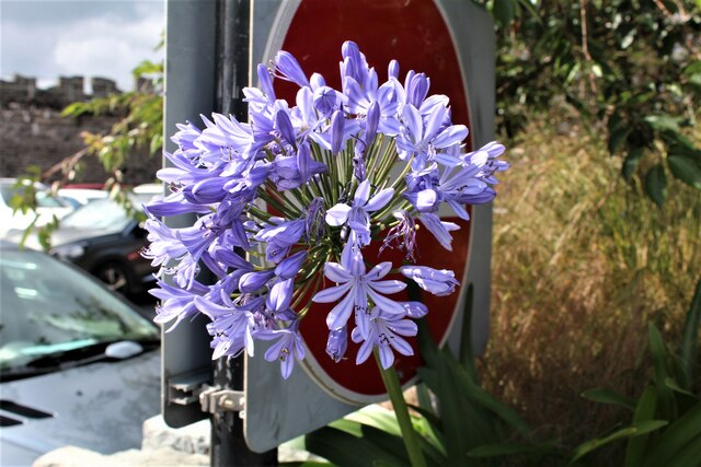
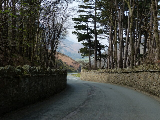
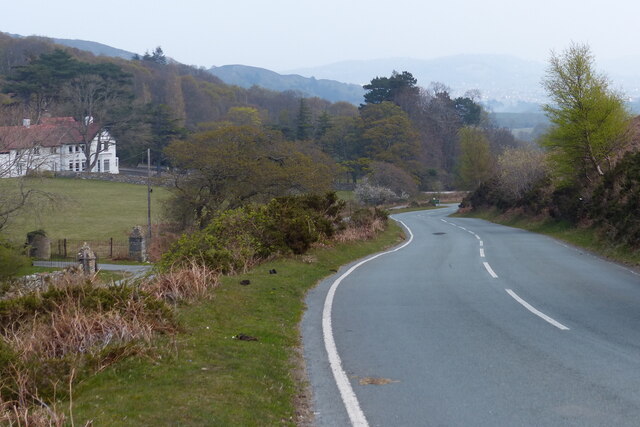
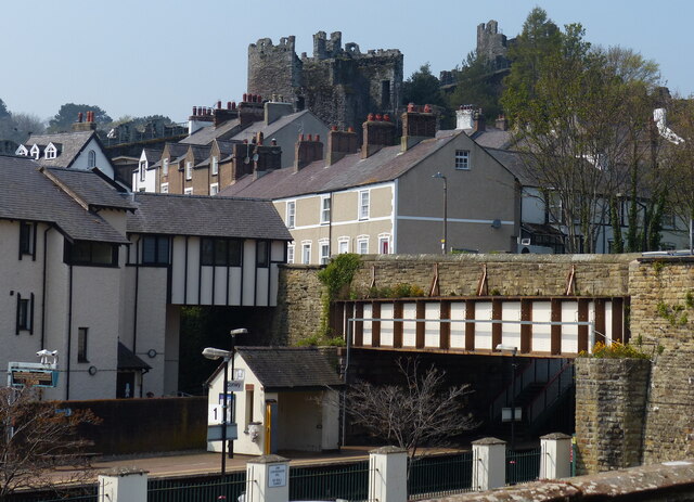
Coed Hendre Images
Images are sourced within 2km of 53.271579/-3.8542449 or Grid Reference SH7676. Thanks to Geograph Open Source API. All images are credited.


Coed Hendre is located at Grid Ref: SH7676 (Lat: 53.271579, Lng: -3.8542449)
Unitary Authority: Conwy
Police Authority: North Wales
What 3 Words
///hopeless.arts.witless. Near Conwy
Nearby Locations
Related Wikis
Castell Caer Seion
Castell Caer Seion is an Iron Age hillfort situated at the top of Conwy Mountain, in Conwy County, North Wales. It is unusual for the fact that the main...
Mynydd y Dref
Mynydd y Dref (Welsh : "Mountain of the Town") or Conwy Mountain is a hilly area to the west of the town of Conwy, in North Wales. To the north it overlooks...

Conwy town walls
Conwy's town walls are a medieval defensive structure around the town of Conwy in Wales. The walls were constructed between 1283 and 1287 after the foundation...

Conwy Hospital
Conwy Hospital (Welsh: Ysbyty Conwy) was a community hospital in Conwy, Wales. It was managed by the Conwy & Denbighshire NHS Trust. == History == The...
Conway Marsh railway station
Conway Marsh railway station (later known as Conway Morfa) was located about a mile north west of Conwy, Wales (Conway being the English name for the town...

Sychnant Pass
Sychnant Pass (Welsh: Bwlch Sychnant, "Dry-stream Pass") in Conwy County Borough, Wales, links Conwy to Penmaenmawr via Dwygyfylchi. Much of the pass is...
Conwy railway station
Conwy railway station serves the town of Conwy, north Wales, and is located on the North Wales Coast Line, between Crewe and Holyhead. It is served by...

Albion Ale House
The Albion Ale House or The Albion is a Grade II listed public house in Conwy, North Wales. Built in 1921, it is a three-room pub with Art Nouveau decor...
Nearby Amenities
Located within 500m of 53.271579,-3.8542449Have you been to Coed Hendre?
Leave your review of Coed Hendre below (or comments, questions and feedback).