Bursledon
Settlement in Hampshire Eastleigh
England
Bursledon
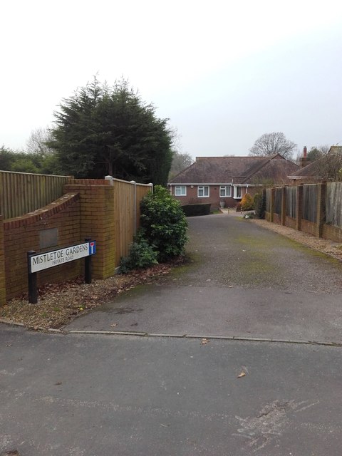
Bursledon is a picturesque village located in Hampshire, England. Situated on the eastern bank of the River Hamble, it falls within the borough of Eastleigh and lies approximately six miles southeast of the city of Southampton. The village has a rich history that dates back to the medieval period, with evidence of human settlement in the area since Roman times.
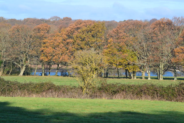
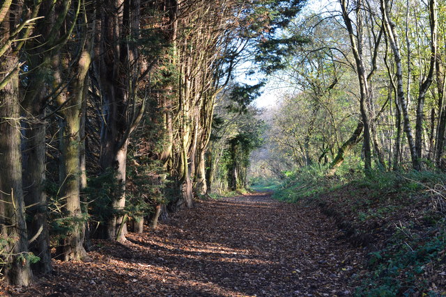
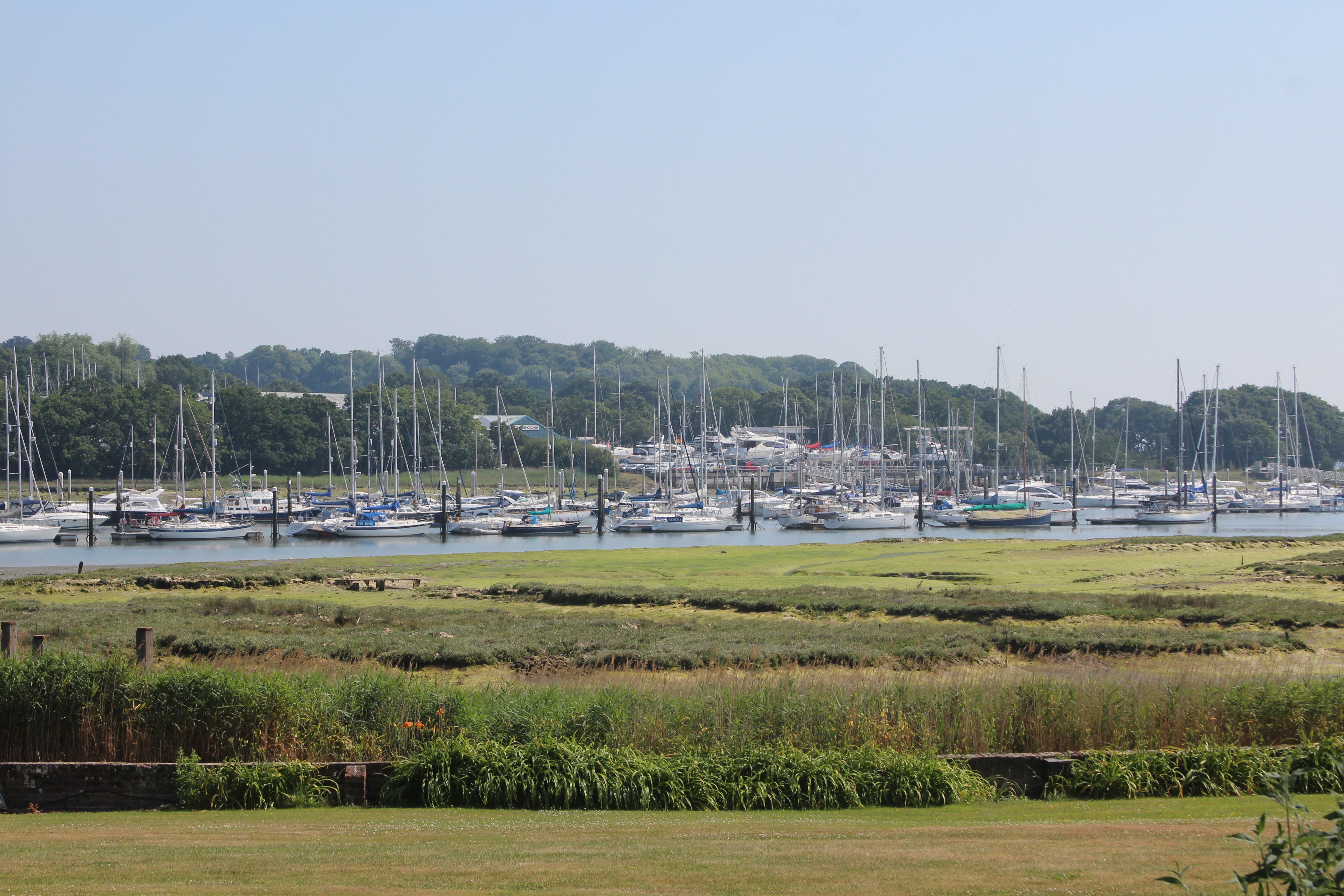
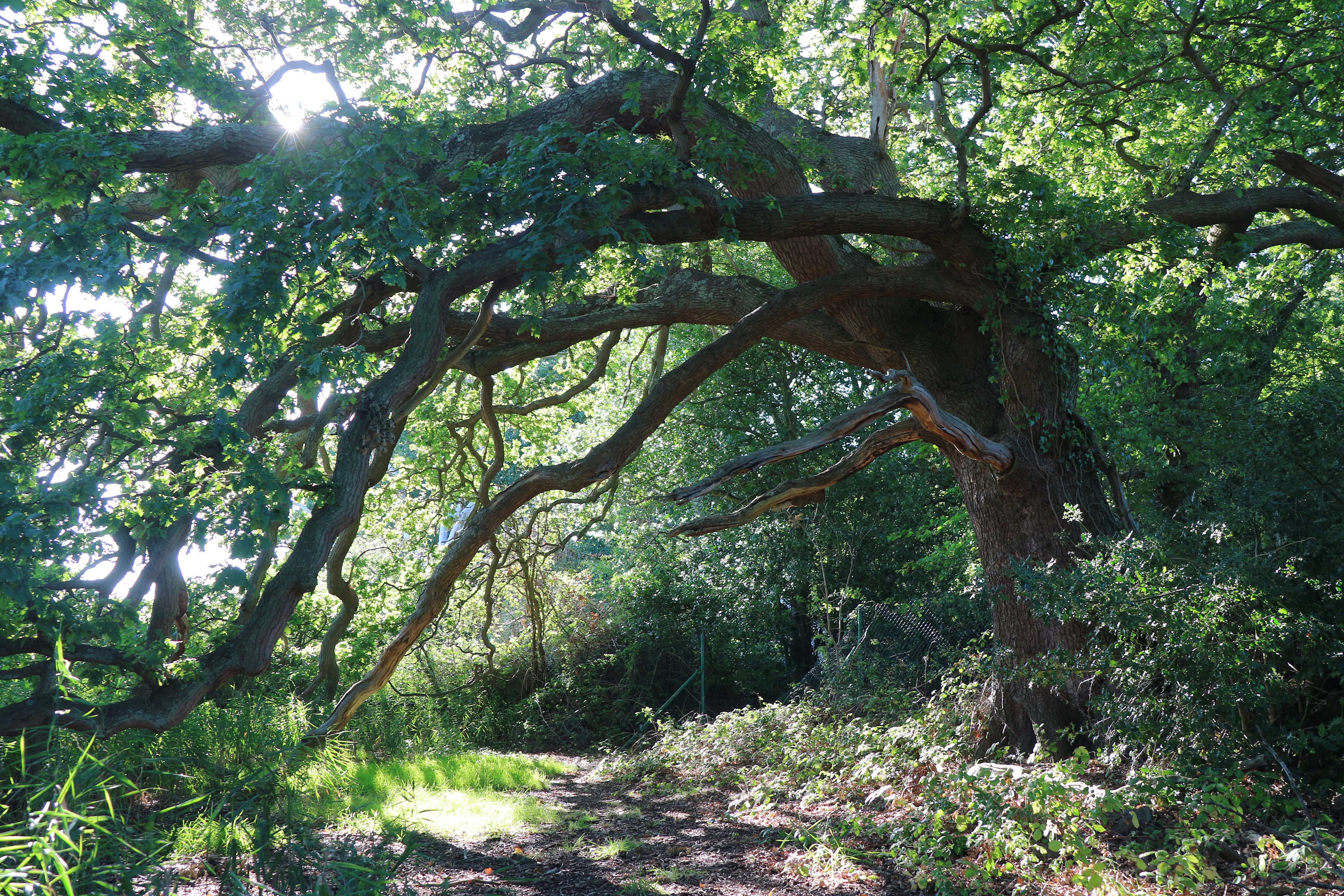
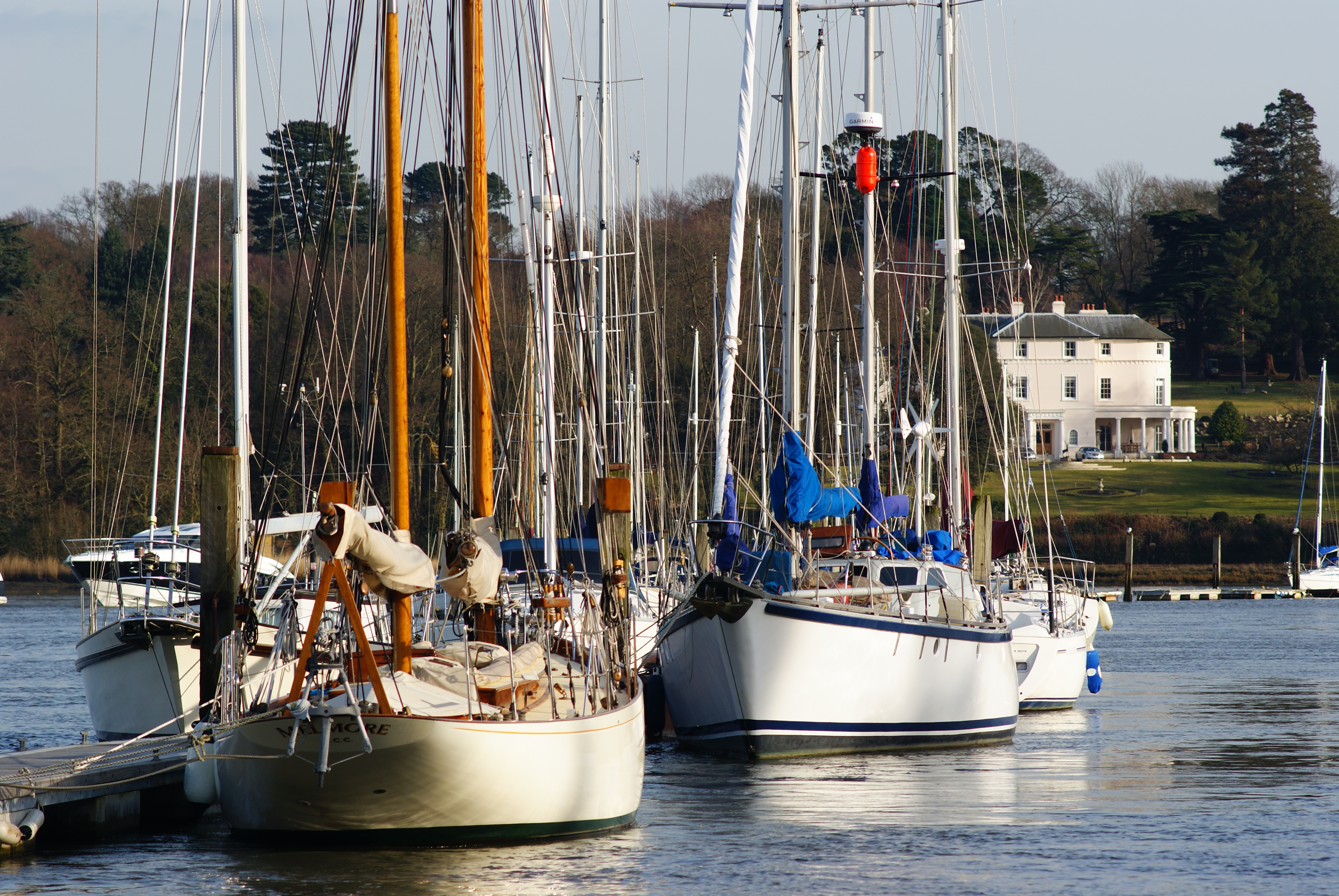
Bursledon is known for its charming rural character and beautiful natural surroundings. The village is surrounded by stunning countryside, with lush green fields, meandering rivers, and dense woodlands, making it a popular destination for nature enthusiasts and hikers. The River Hamble also offers opportunities for boating and watersports.
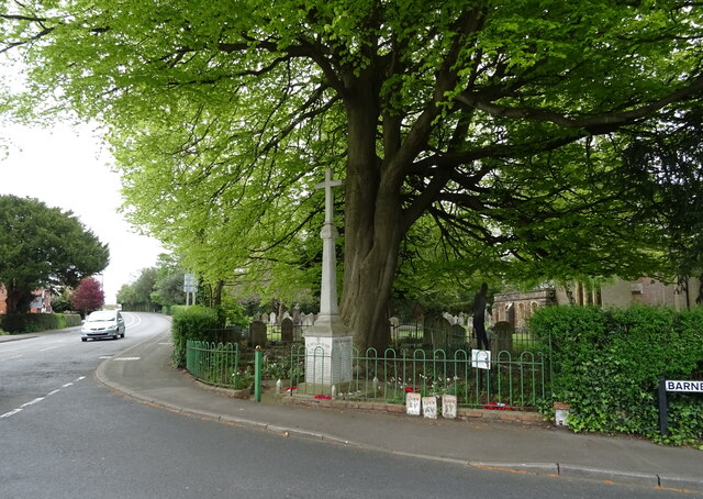
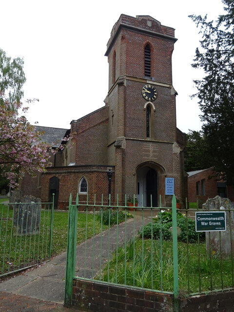
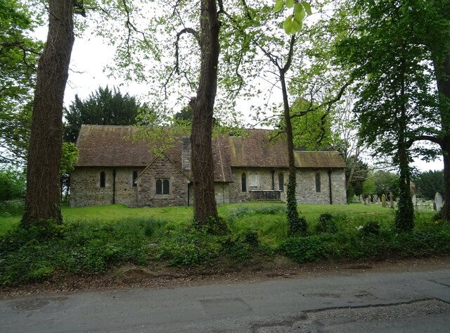
The village itself is home to a tight-knit community that takes pride in preserving its heritage. Bursledon has a number of historic buildings, including St. Leonard's Church, which dates back to the 12th century and features impressive architectural details. The village also boasts several traditional thatched cottages, adding to its quaint and picturesque charm.
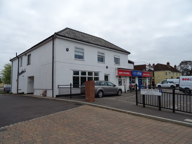
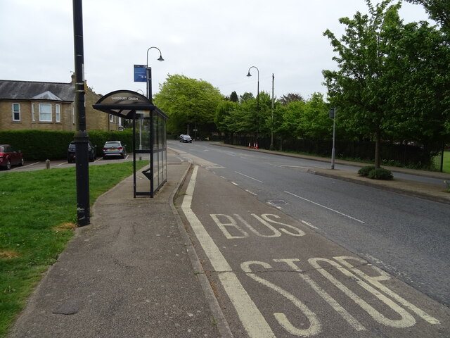
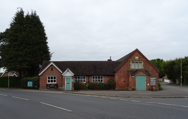
In terms of amenities, Bursledon offers a range of services to its residents. These include a primary school, local shops, and a pub, providing a sense of community and convenience. Additionally, the village is well-connected to nearby towns and cities, with easy access to major road networks and public transportation options.
Overall, Bursledon offers a peaceful and idyllic setting, with its natural beauty, rich history, and strong community spirit making it a desirable place to live or visit in Hampshire.
If you have any feedback on the listing, please let us know in the comments section below.
Bursledon Images
Images are sourced within 2km of 50.881309/-1.310688 or Grid Reference SU4809. Thanks to Geograph Open Source API. All images are credited.


Bursledon is located at Grid Ref: SU4809 (Lat: 50.881309, Lng: -1.310688)
Administrative County: Hampshire
District: Eastleigh
Police Authority: Hampshire
What 3 Words
///rope.shades.daily. Near Bursledon, Hampshire
Nearby Locations
Related Wikis

Bursledon
Bursledon is a village on the River Hamble in Hampshire, England. It is located within the borough of Eastleigh. Close to the city of Southampton, Bursledon...
Hackett's Marsh
Hackett's Marsh is a 20.4-hectare (50-acre) Local Nature Reserve in Bursledon in Hampshire. It is owned by Hampshire County Council and managed by Hampshire...
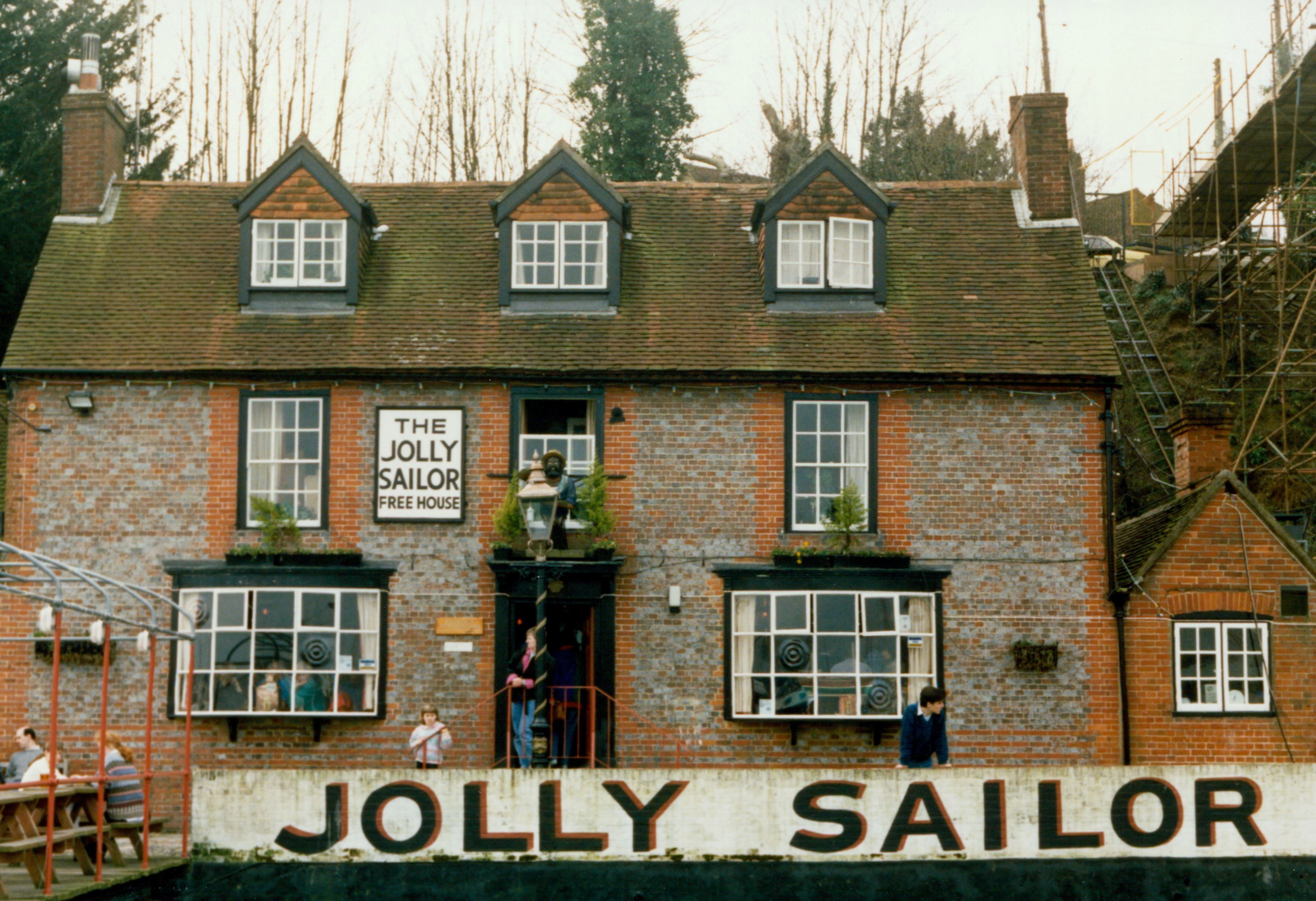
The Jolly Sailor, Bursledon
The Jolly Sailor is an 18th-century public house on Land's End Road in Bursledon in Hampshire, England. It has been listed Grade II on the National Heritage...
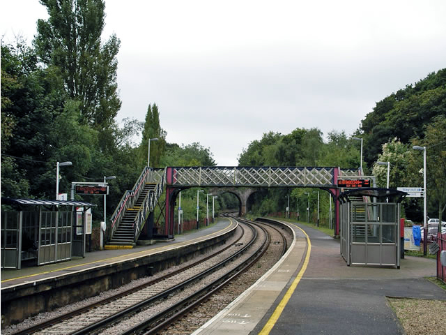
Bursledon railway station
Bursledon railway station serves the village of Bursledon in Hampshire, England. It is on the West Coastway Line. The station is operated by South Western...
Lincegrove and Hackett's Marshes
Lincegrove and Hackett's Marshes is a 37.8-hectare (93-acre) biological Site of Special Scientific Interest on the west bank of the River Hamble between...

Swanwick Shore Strict Baptist Chapel
Swanwick Shore Strict Baptist Chapel is a Strict Baptist place of worship in Lower Swanwick, a village in the Borough of Fareham in Hampshire, England...

Lower Swanwick
Lower Swanwick is a village on the River Hamble in Hampshire, England. It is located within the borough of Fareham at the eastern end of Bursledon Bridge...
Brooklands, Sarisbury
Brooklands is an 18th-century country house in Sarisbury in Fareham in the English county of Hampshire. The grounds of the house overlook the River Hamble...
Nearby Amenities
Located within 500m of 50.881309,-1.310688Have you been to Bursledon?
Leave your review of Bursledon below (or comments, questions and feedback).