Coed Craig-Forris
Wood, Forest in Caernarfonshire
Wales
Coed Craig-Forris
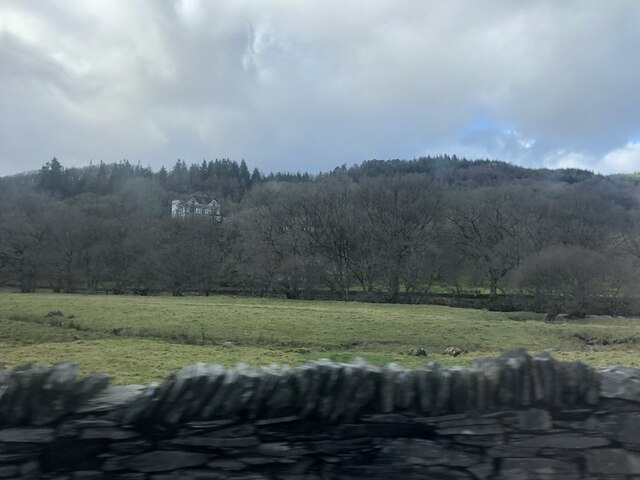
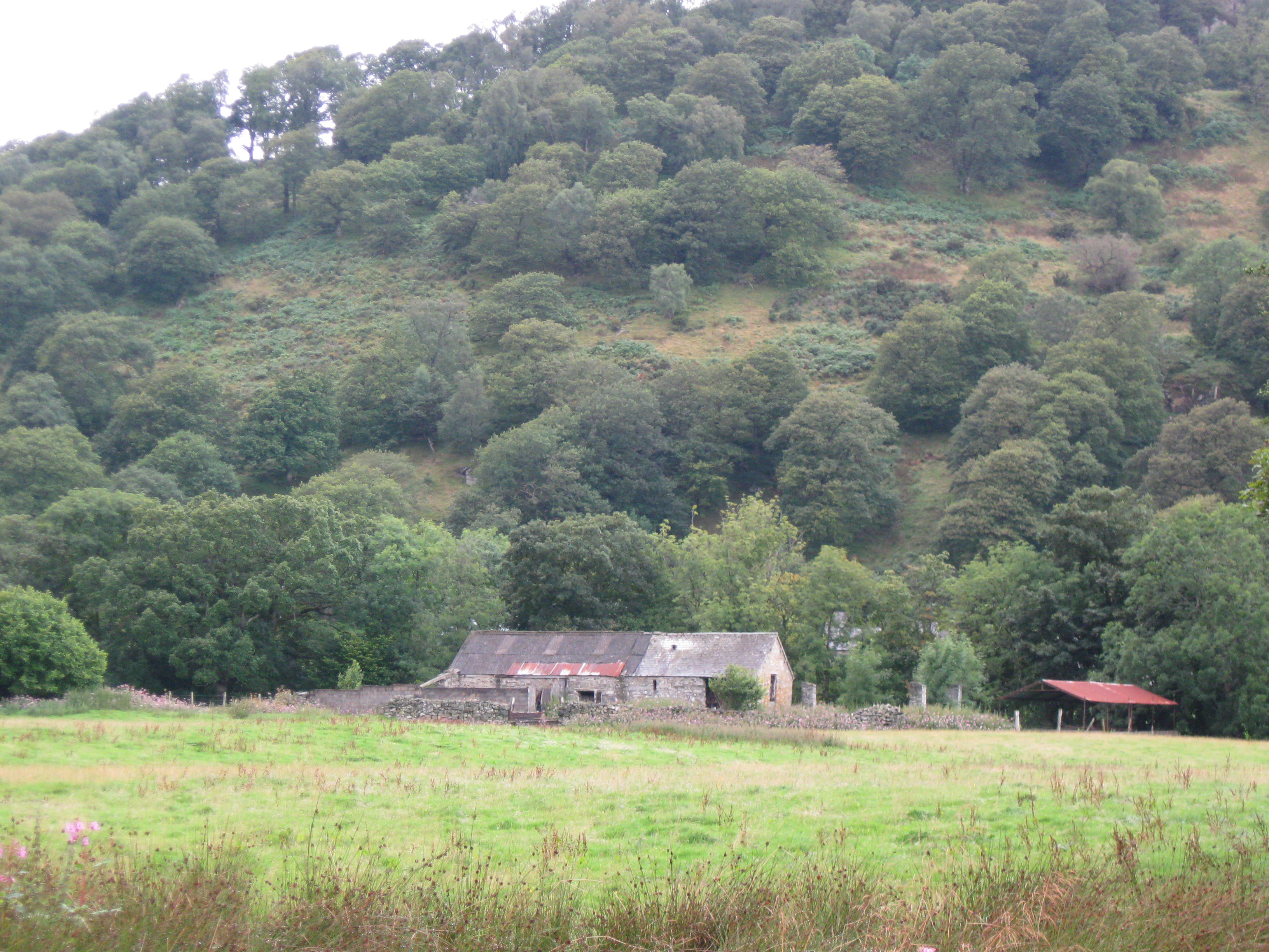
Coed Craig-Forris is a picturesque woodland located in Caernarfonshire, Wales. Spread over a vast area, it offers a serene and tranquil environment for nature enthusiasts and outdoor lovers. The woodland is nestled in the heart of the stunning Snowdonia National Park, which adds to its allure and popularity.
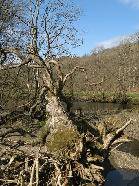
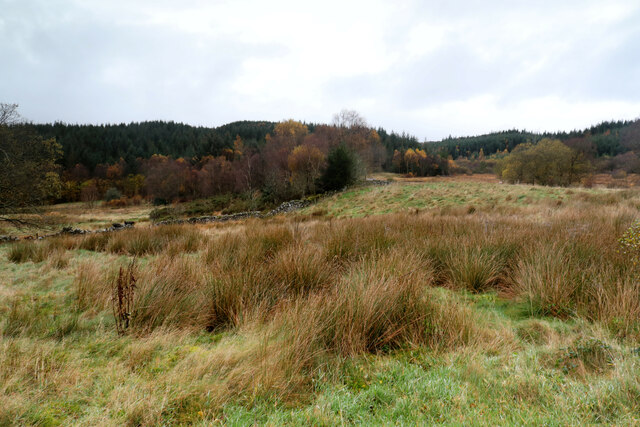
The woodland is characterized by its diverse range of trees and vegetation, including oak, birch, and pine. These trees create a dense canopy, providing shade and shelter for a variety of animal species that call this woodland home. Visitors can often spot squirrels, rabbits, and a multitude of bird species, making it a haven for birdwatchers and wildlife enthusiasts.
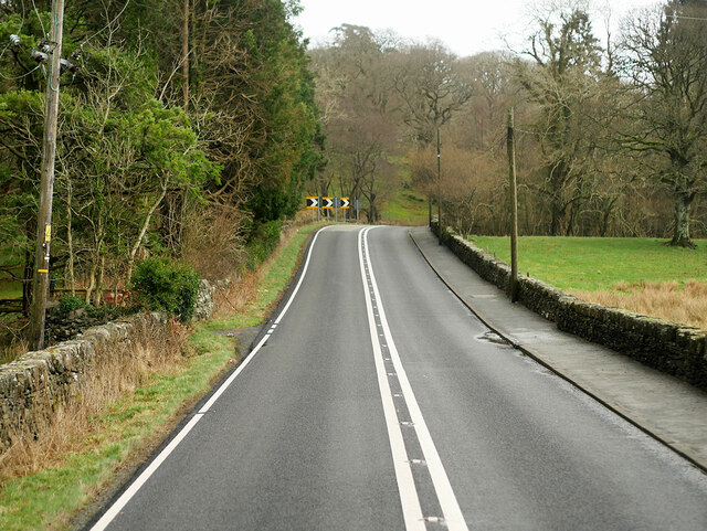
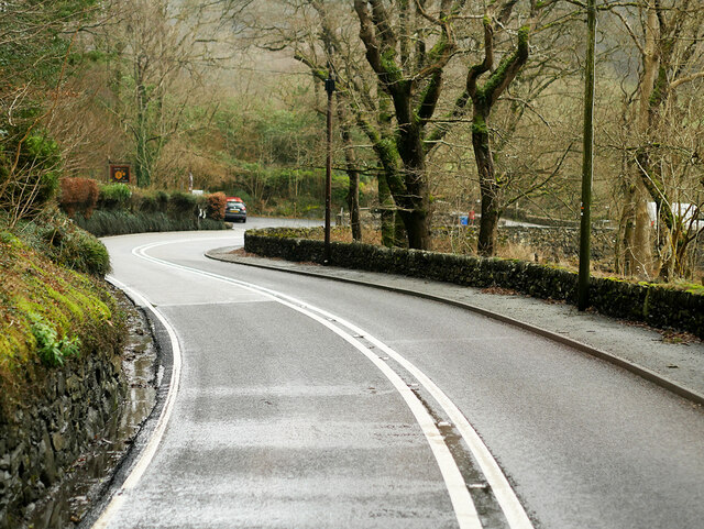
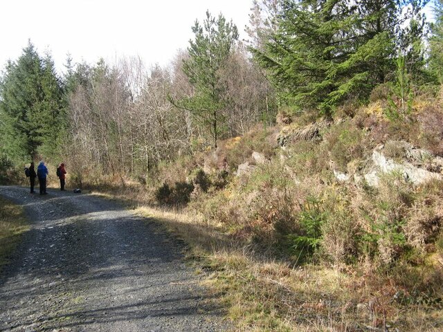
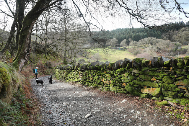
Coed Craig-Forris is crisscrossed by a network of walking trails, making it an ideal destination for hikers and walkers of all abilities. These trails allow visitors to explore the woodland at their own pace, immersing themselves in its natural beauty. The paths wind through the trees, offering glimpses of stunning vistas and unique rock formations.
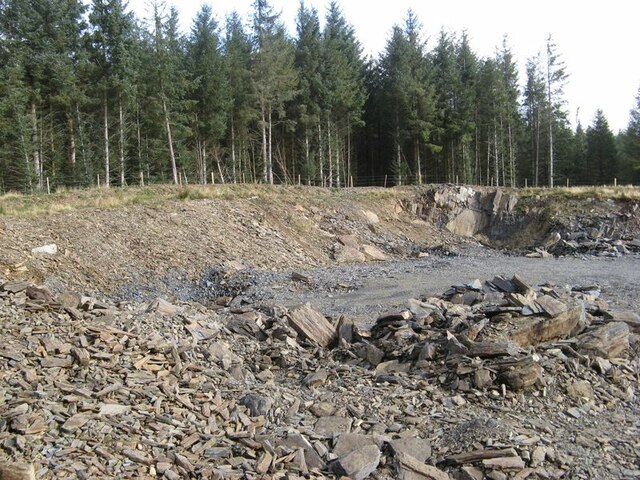
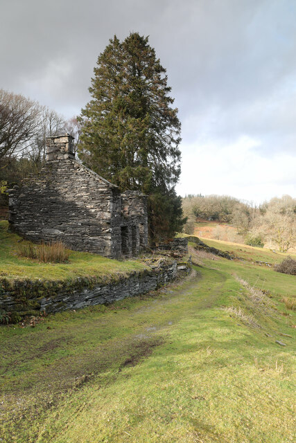
In addition to its natural beauty, Coed Craig-Forris also holds historical significance. The woodland was once a source of timber for the local community, and remnants of old sawpits and charcoal platforms can still be found scattered throughout the area. These historical features provide a glimpse into the past and add an extra layer of interest for those with an appreciation for history.
Overall, Coed Craig-Forris is a captivating woodland that offers a peaceful and enchanting escape from the hustle and bustle of everyday life. Whether it's a leisurely stroll, birdwatching, or simply enjoying the tranquility of nature, this woodland has something to offer for everyone.
If you have any feedback on the listing, please let us know in the comments section below.
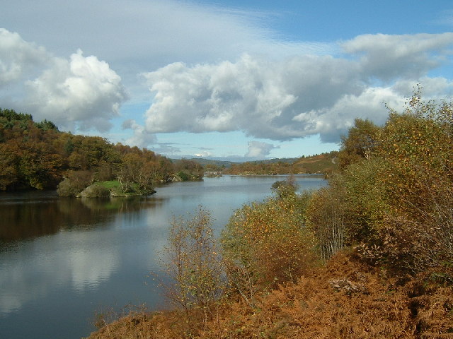
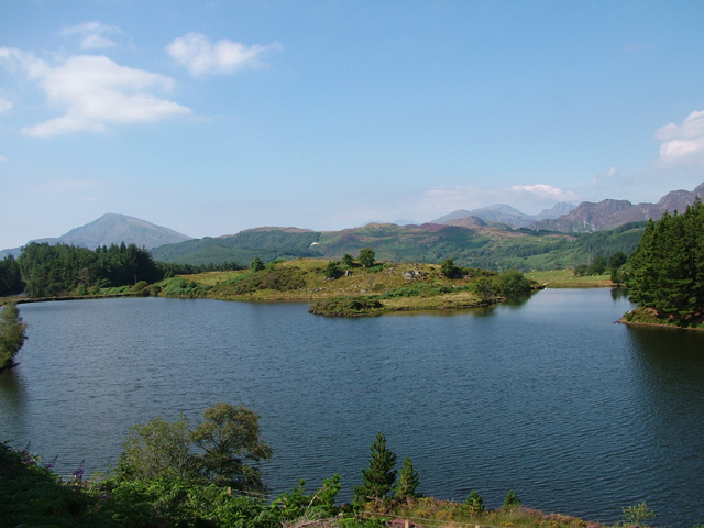
Coed Craig-Forris Images
Images are sourced within 2km of 53.097077/-3.8538097 or Grid Reference SH7557. Thanks to Geograph Open Source API. All images are credited.


Coed Craig-Forris is located at Grid Ref: SH7557 (Lat: 53.097077, Lng: -3.8538097)
Unitary Authority: Conwy
Police Authority: North Wales
What 3 Words
///slurs.ready.crumbles. Near Betws-y-Coed, Conwy
Nearby Locations
Related Wikis
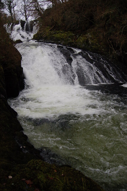
Swallow Falls
Swallow Falls is an English name for the Welsh Rhaeadr y Wennol, also known as Rhaeadr Ewynnol (English: 'the foaming waterfall'), a multiple waterfall...
Caer Llugwy
Caer Llugwy, or Bryn-y-Gefeiliau, is the site of a Roman fort in a loop of the Afon Llugwy near Capel Curig in Conwy, Wales. It is notable in that there...

Llyn Goddionduon
Llyn Goddionduon is a remote lake in the Gwydir Forest in north Wales. It lies at a height of 794 ft (242 m) and covers an area of 10 acres (40,000 m2...

Llyn Bodgynydd
Llyn Bodgynydd is a lake in the Gwydir Forest in North Wales. It covers an area of some 14 acres (57,000 m2), and lies at a height of 822 feet (251 m)...

Cobden's Hotel
Cobden's Hotel is a 19th-century hotel in Capel Curig, Conwy, Wales. It became famous after it was bought by the celebrated cricketer Frank Cobden and...
Llyn Elsi
Llyn Elsi is a lake located above the village of Betws-y-coed in the Snowdonia National Park in North Wales. It is a reservoir providing water for the...

St Mary's Church, Betws-y-Coed
St Mary's Church, Betws-y-Coed, is in the village of Betws-y-Coed, Conwy, Wales. It is an active Anglican parish church of the Church in Wales, in the...
Llyn Glangors
Llyn Glangors is a lake in the Gwydir Forest in north Wales. It lies at a height of 900 ft (270 m) and covers an area of 15 acres (61,000 m2). An artificial...
Have you been to Coed Craig-Forris?
Leave your review of Coed Craig-Forris below (or comments, questions and feedback).