Coed Ffridd-êog
Wood, Forest in Merionethshire
Wales
Coed Ffridd-êog
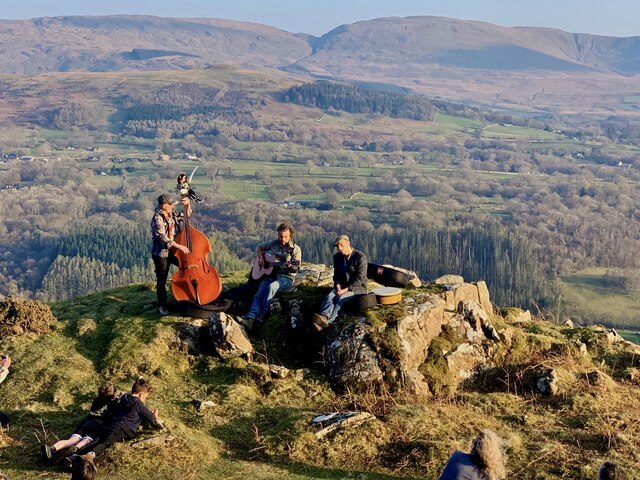
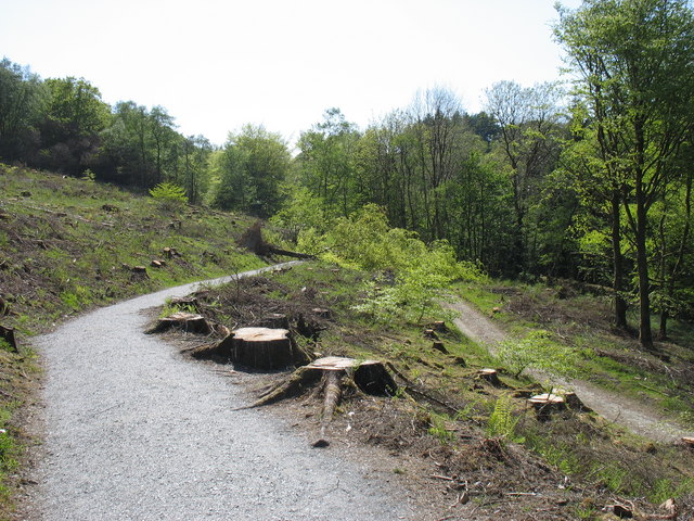
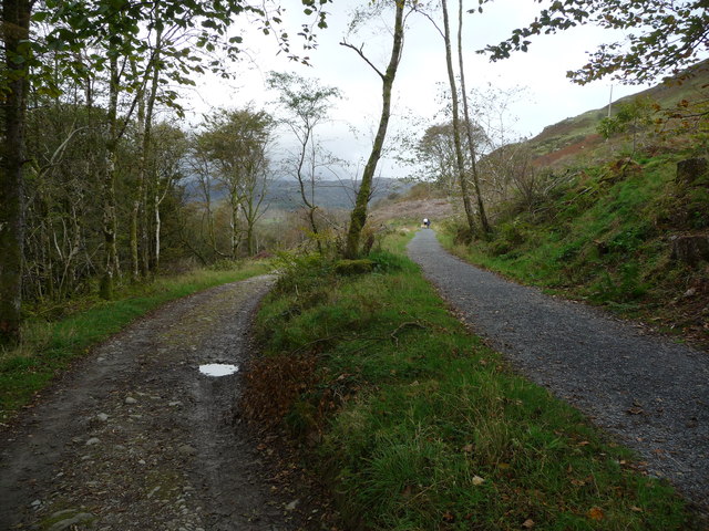
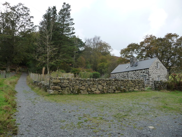
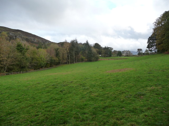
Coed Ffridd-êog, located in Merionethshire, is a remarkable woodland area known for its diverse flora and fauna. Spanning over a considerable expanse, this dense forest offers a serene and enchanting environment for nature enthusiasts and hikers alike.
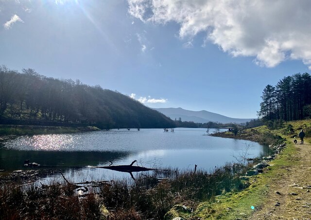
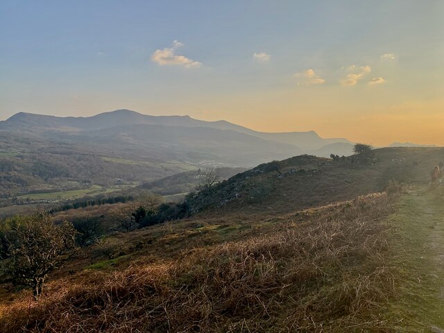
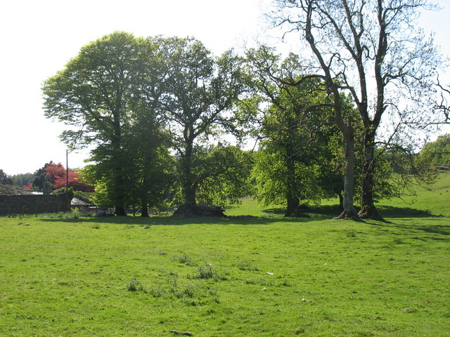
Situated amidst the rolling hills of Merionethshire, Coed Ffridd-êog boasts an impressive range of tree species, including oak, beech, and pine. These towering trees provide a lush canopy, creating a vibrant ecosystem that supports various wildlife species. The forest is home to numerous bird species, such as the red kite, buzzards, and woodpeckers, making it a popular destination for birdwatchers.
The woodland floor of Coed Ffridd-êog is adorned with a rich tapestry of wildflowers, ferns, and mosses, adding to its natural beauty. The forest is also home to a diverse array of mammals, including badgers, foxes, and deer, making it an ideal spot for wildlife enthusiasts to observe and appreciate these creatures in their natural habitat.
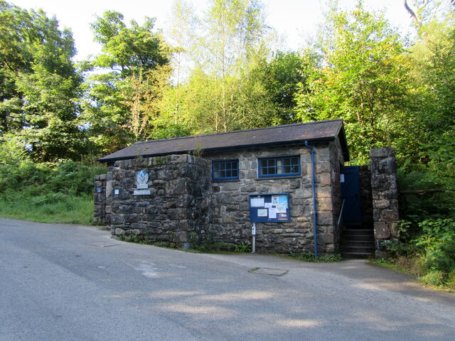
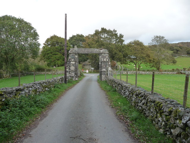
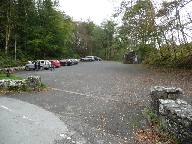
Aside from its natural wonders, Coed Ffridd-êog offers a range of recreational activities for visitors. Well-maintained walking trails wind through the forest, providing opportunities for leisurely strolls or more challenging hikes. The forest also houses picnic areas and viewpoints, allowing visitors to relax and take in the breathtaking scenery.
Coed Ffridd-êog is a place of tranquility and natural beauty, attracting visitors from near and far who seek to immerse themselves in the wonders of the woodland. With its diverse ecosystem and recreational offerings, this forest in Merionethshire continues to captivate and inspire all who venture within its enchanting embrace.
If you have any feedback on the listing, please let us know in the comments section below.
Coed Ffridd-êog Images
Images are sourced within 2km of 52.775484/-3.8429726 or Grid Reference SH7521. Thanks to Geograph Open Source API. All images are credited.


Coed Ffridd-êog is located at Grid Ref: SH7521 (Lat: 52.775484, Lng: -3.8429726)
Unitary Authority: Gwynedd
Police Authority: North Wales
What 3 Words
///graph.tightrope.storm. Near Dolgellau, Gwynedd
Nearby Locations
Related Wikis
Llanfachreth
Llanfachreth is a settlement approximately three miles north-east of Dolgellau, Gwynedd, in the community of Brithdir and Llanfachreth within the historic...

Nannau, Wales
Nannau (Welsh for 'the place of many streams'') is a Georgian mansion and estate near the village of Llanfachreth, Gwynedd, North Wales, UK. The mansion...
Bont Newydd railway station
Bont Newydd railway station (sometimes shown as Bontnewydd) in Gwynedd, Wales, was a station on the now-closed Ruabon to Barmouth line. Originally a single...

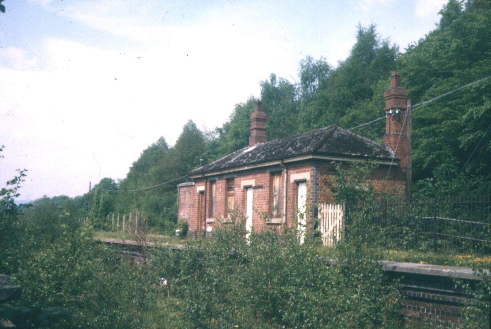
Dolserau Halt railway station
Dolserau Halt (Pron: Dol-seh-rye) in Gwynedd, Wales, was on the Ruabon to Barmouth line. The platform edge was made of timber and was situated on the north...

Meirionnydd
Meirionnydd is a coastal and mountainous region of Wales. It has been a kingdom, a cantref, a district and, as Merionethshire, a county. == Kingdom... ==

Brithdir, Gwynedd
Brithdir is a small hamlet on the outskirts of Dolgellau, Gwynedd in the community of Brithdir and Llanfachreth. The Arts and Crafts Movement St Mark's...
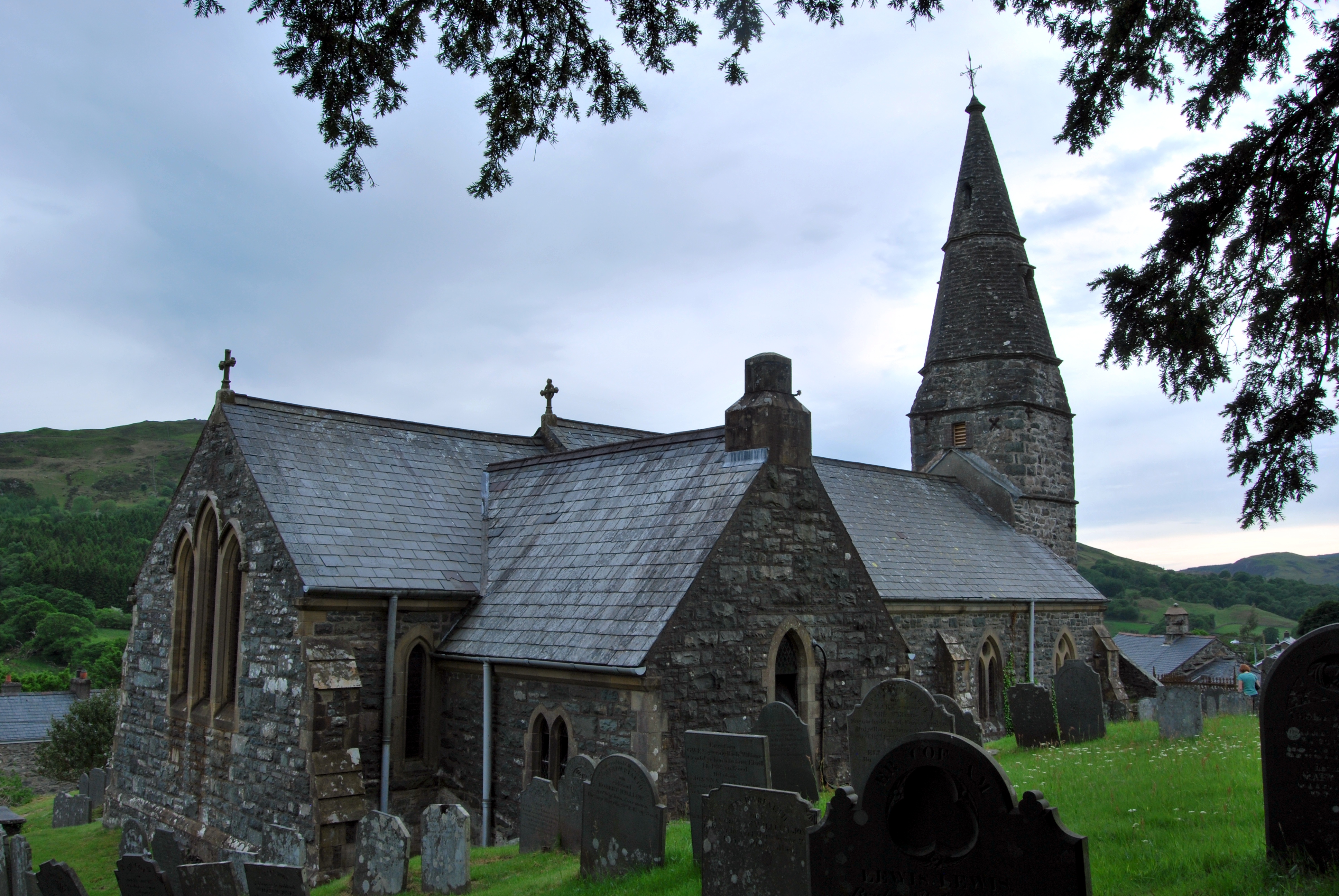
St Mark's Church, Brithdir
St Mark's Church, Brithdir, is a redundant church in the hamlet of Brithdir, Gwynedd, Wales. It is designated by Cadw as a Grade I listed building, and...

Brithdir and Llanfachreth
Brithdir and Llanfachreth is a community in the county of Gwynedd, Wales, near Dolgellau, and is 93.1 miles (149.8 km) from Cardiff and 178.4 miles (287...
Nearby Amenities
Located within 500m of 52.775484,-3.8429726Have you been to Coed Ffridd-êog?
Leave your review of Coed Ffridd-êog below (or comments, questions and feedback).