Coed Cwm-yr-Eglwys
Wood, Forest in Merionethshire
Wales
Coed Cwm-yr-Eglwys
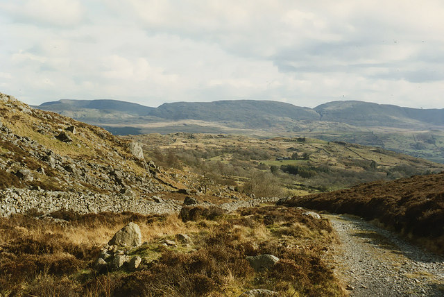
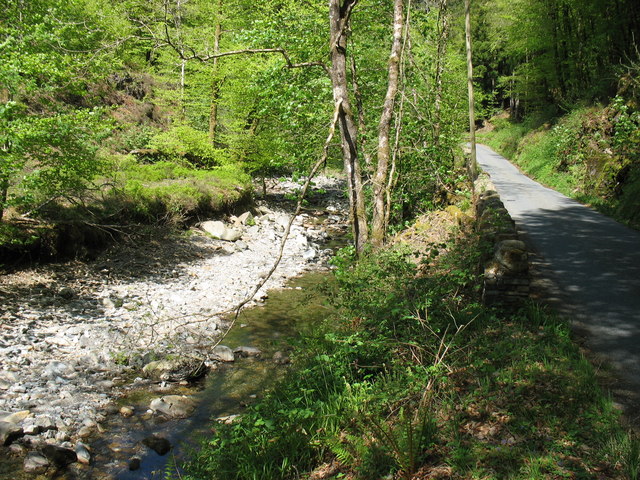
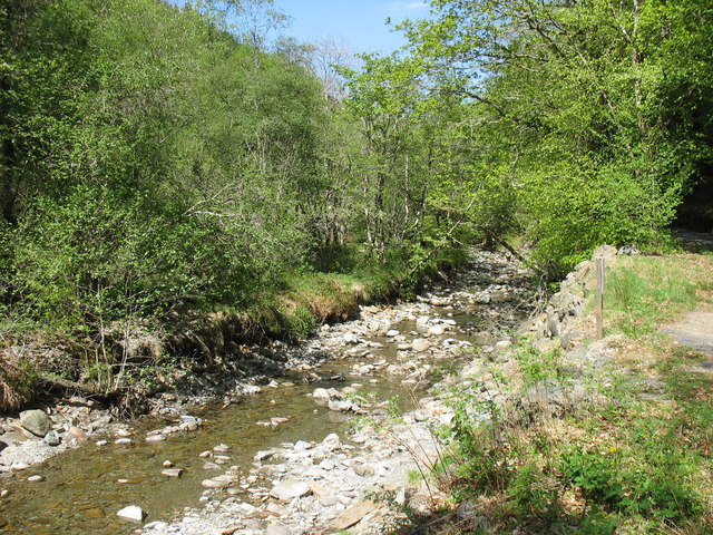
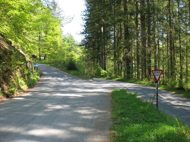
Coed Cwm-yr-Eglwys, located in Merionethshire, is a picturesque woodland area renowned for its natural beauty and rich biodiversity. Situated in the heart of the Welsh countryside, this woodland paradise offers visitors a tranquil escape from the hustle and bustle of everyday life.
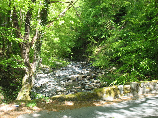
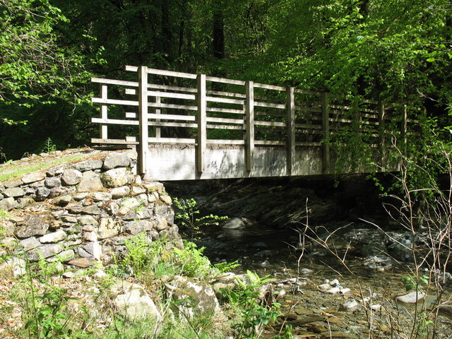
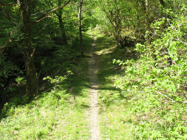
Covering an area of approximately 200 acres, Coed Cwm-yr-Eglwys is home to a diverse range of flora and fauna. The woodland is dominated by a mixture of broadleaf trees, including oak, beech, and ash, which provide a dense canopy and create a cool and shaded environment even on the hottest of summer days. The forest floor is adorned with a vibrant carpet of wildflowers, adding a splash of color to the green surroundings.
The woodland also offers a haven for wildlife enthusiasts, with a wide variety of animal species calling Coed Cwm-yr-Eglwys their home. Visitors may catch a glimpse of red squirrels darting among the branches, while birdwatchers can spot various species such as woodpeckers, owls, and warblers. The woodland is also known to support a rich insect population, including butterflies and beetles.
Coed Cwm-yr-Eglwys is a popular destination for outdoor activities such as walking, hiking, and nature photography. Several well-marked trails wind through the woods, offering visitors the opportunity to explore the area and discover its hidden treasures. The peaceful atmosphere, combined with breathtaking vistas of the surrounding landscape, makes it an ideal location for those seeking solace in nature.
To preserve its natural beauty and protect its delicate ecosystem, Coed Cwm-yr-Eglwys is managed by local conservation organizations. Their efforts ensure that the woodland remains a pristine and unspoiled retreat for generations to come.
If you have any feedback on the listing, please let us know in the comments section below.
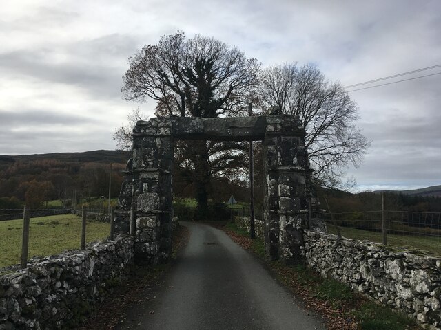
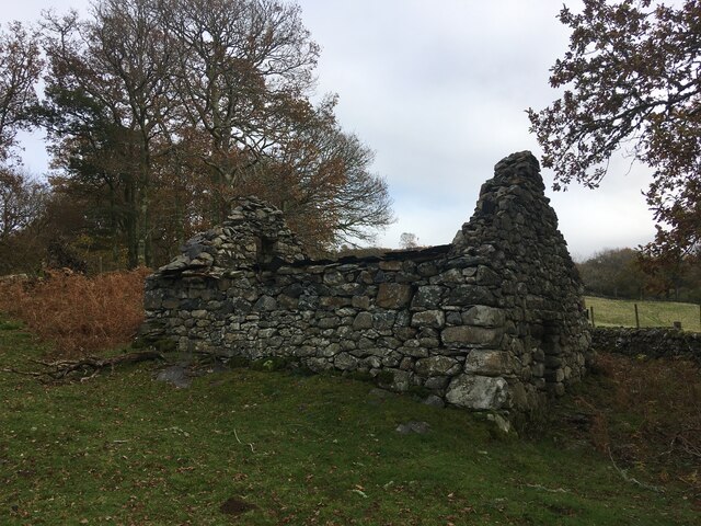
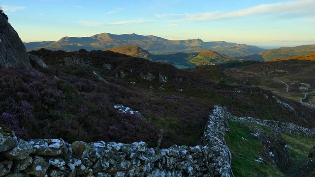
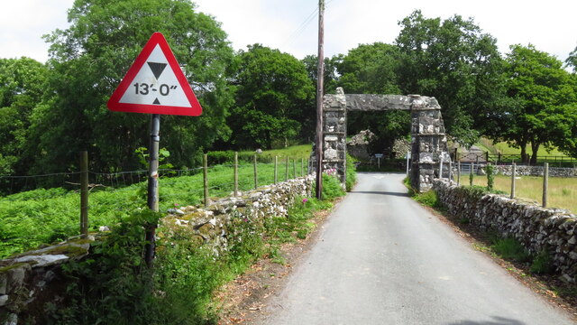
Coed Cwm-yr-Eglwys Images
Images are sourced within 2km of 52.790795/-3.8458445 or Grid Reference SH7523. Thanks to Geograph Open Source API. All images are credited.

Coed Cwm-yr-Eglwys is located at Grid Ref: SH7523 (Lat: 52.790795, Lng: -3.8458445)
Unitary Authority: Gwynedd
Police Authority: North Wales
What 3 Words
///untrained.conducted.maple. Near Dolgellau, Gwynedd
Nearby Locations
Related Wikis
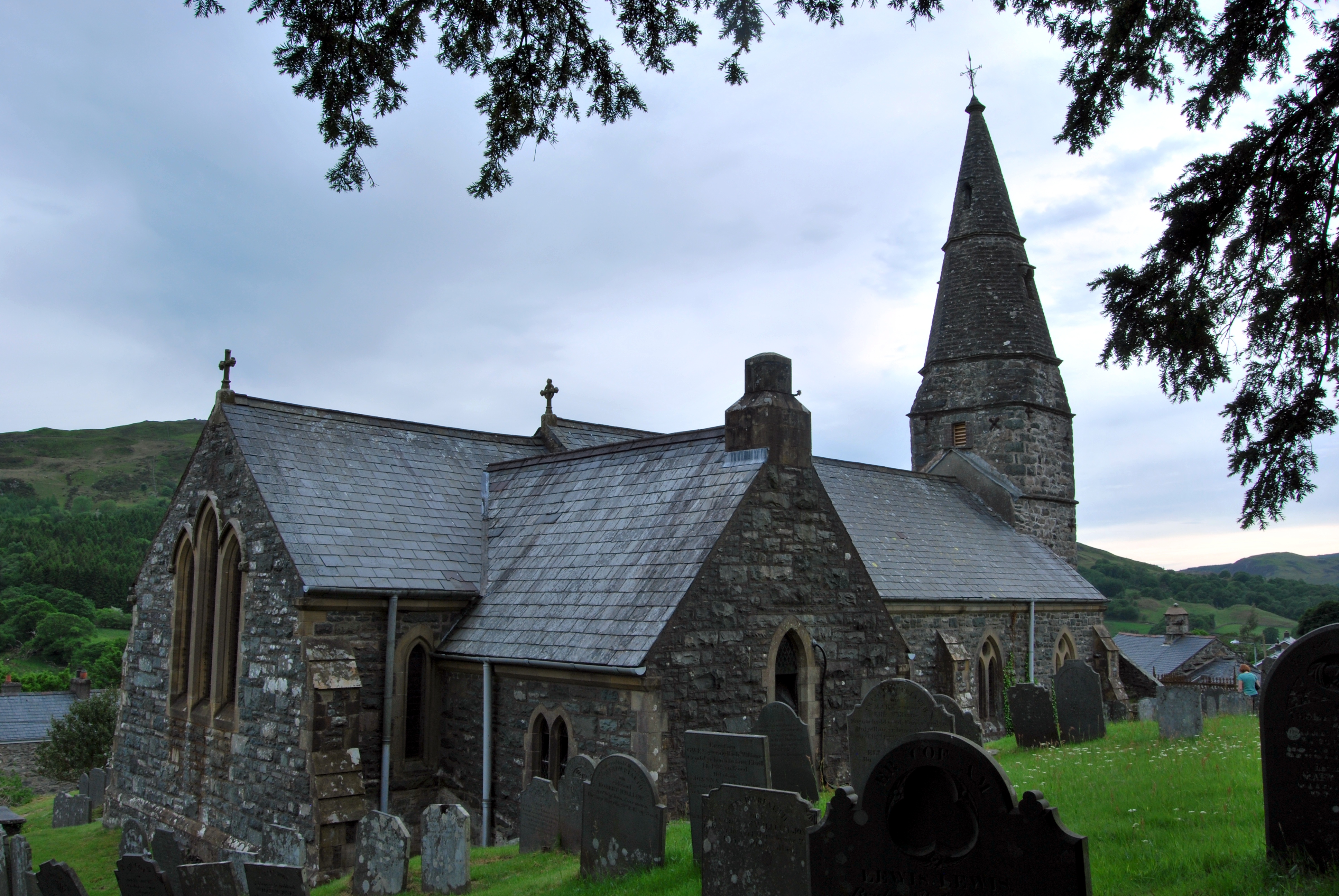
Llanfachreth
Llanfachreth is a settlement approximately three miles north-east of Dolgellau, Gwynedd, in the community of Brithdir and Llanfachreth within the historic...

Nannau, Wales
Nannau (Welsh for 'the place of many streams'') is a Georgian mansion and estate near the village of Llanfachreth, Gwynedd, North Wales, UK. The mansion...

Ganllwyd
Ganllwyd is a small village and community in southern Gwynedd, Wales. It lies in the Snowdonia National Park to the north of Dolgellau. A470 passes through...

Dolmelynllyn Estate
Dolmelynllyn Estate is an area of farmland, woodland and parkland near the village of Ganllwyd in southern Gwynedd, Wales. It is owned by the National...
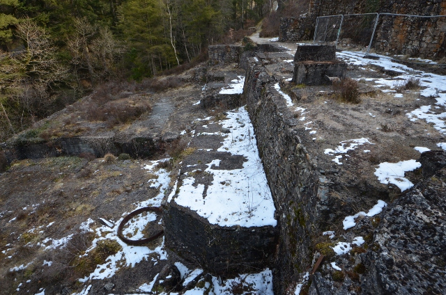
Bont Newydd railway station
Bont Newydd railway station (sometimes shown as Bontnewydd) in Gwynedd, Wales, was a station on the now-closed Ruabon to Barmouth line. Originally a single...

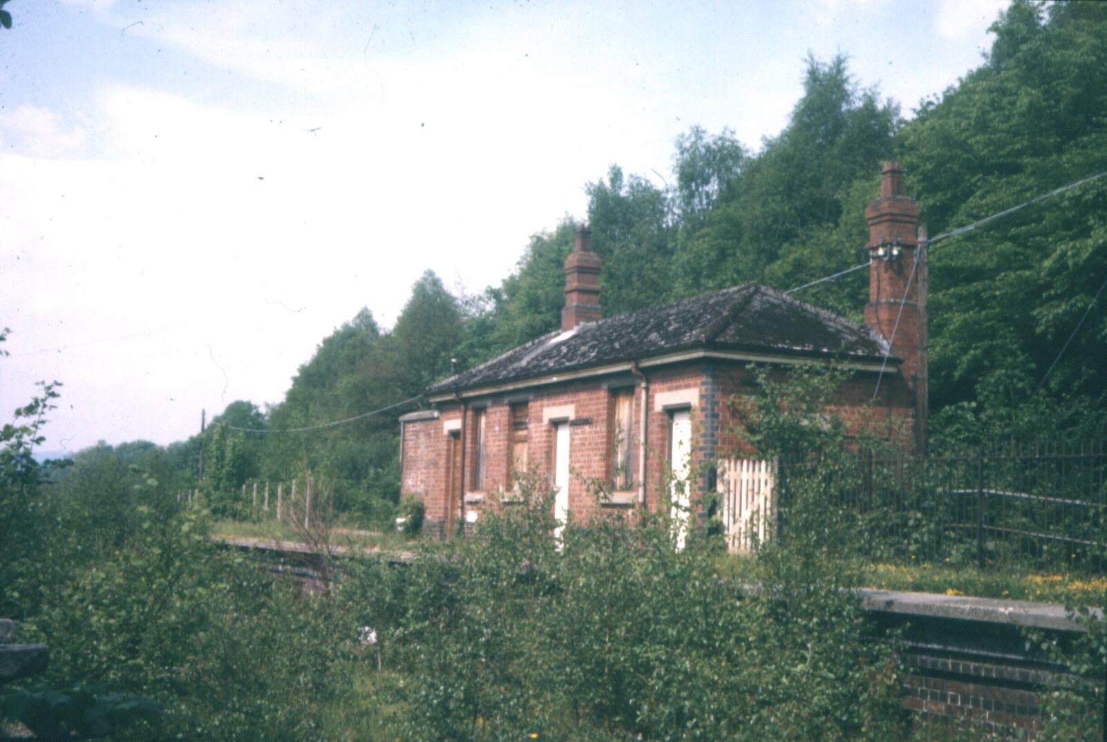
Dolserau Halt railway station
Dolserau Halt (Pron: Dol-seh-rye) in Gwynedd, Wales, was on the Ruabon to Barmouth line. The platform edge was made of timber and was situated on the north...

Meirionnydd
Meirionnydd is a coastal and mountainous region of Wales. It has been a kingdom, a cantref, a district and, as Merionethshire, a county. == Kingdom... ==
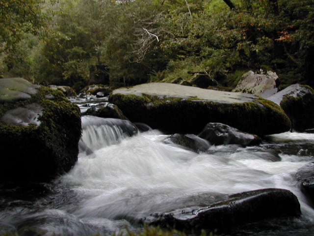
Afon Eden
Afon Eden is a tributary river than runs into the Afon Mawddach in Gwynedd, Wales. It is a protected river because it is one of the few breeding grounds...
Nearby Amenities
Located within 500m of 52.790795,-3.8458445Have you been to Coed Cwm-yr-Eglwys?
Leave your review of Coed Cwm-yr-Eglwys below (or comments, questions and feedback).