Coed Dôl-frwynog
Wood, Forest in Merionethshire
Wales
Coed Dôl-frwynog
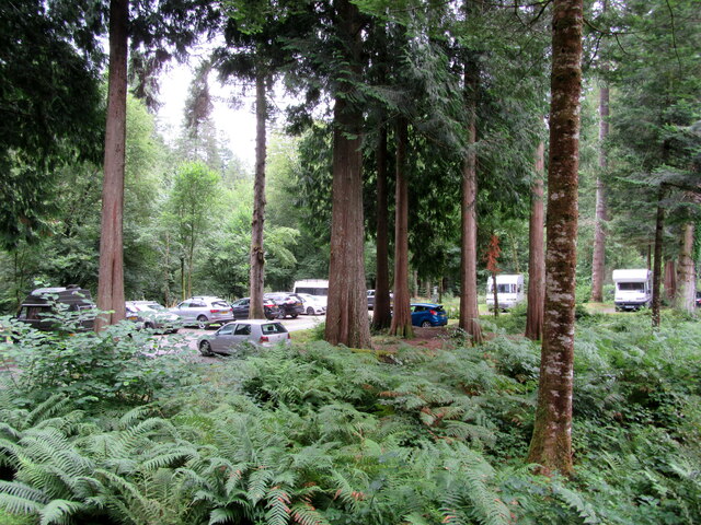
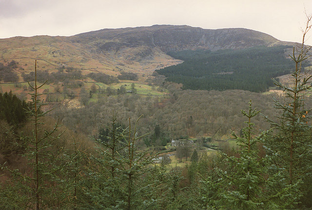
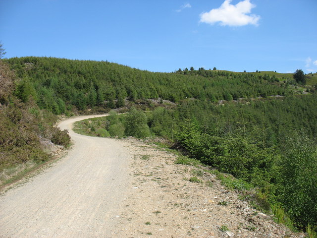
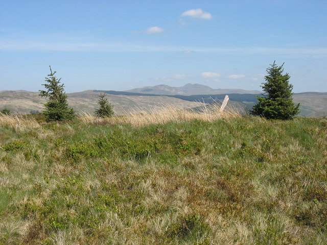
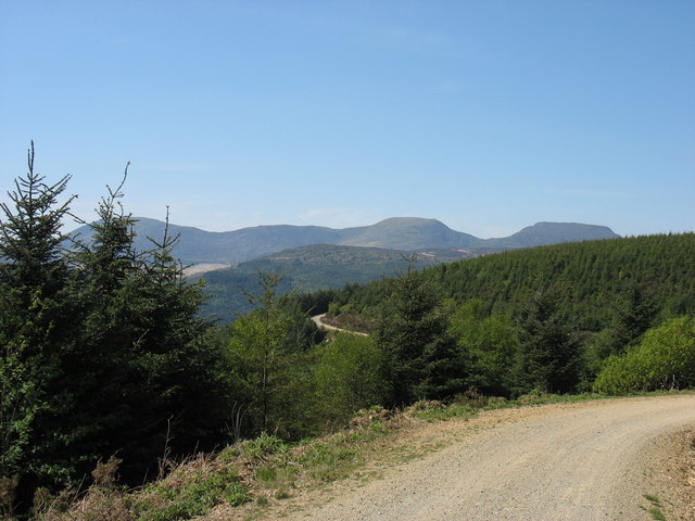
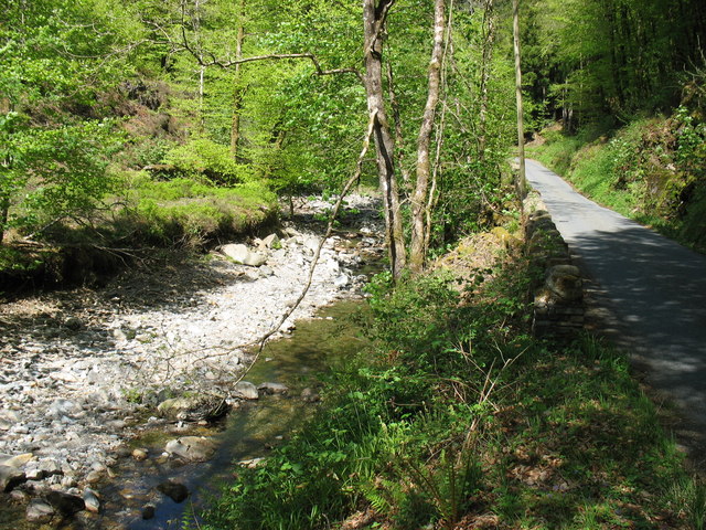
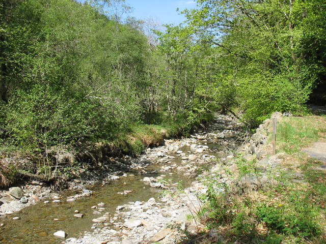
Coed Dôl-frwynog is a picturesque woodland located in the county of Merionethshire in Wales. Covering an area of approximately 500 acres, this enchanting forest is nestled in the stunning Snowdonia National Park, offering visitors breathtaking views and a tranquil escape from the bustling city life.
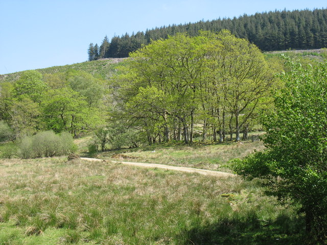
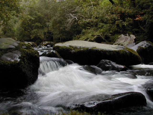
The forest is predominantly composed of native Welsh oak trees, providing a rich and diverse habitat for a wide range of flora and fauna. Walking through the woodland, visitors can expect to encounter an array of wildflowers, mosses, and ferns, creating a vibrant tapestry of colors throughout the seasons. The forest floor is also home to numerous species of fungi, adding to its ecological significance.
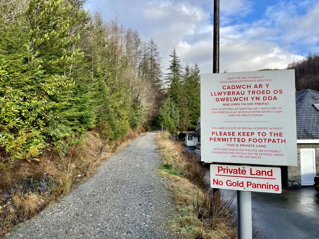
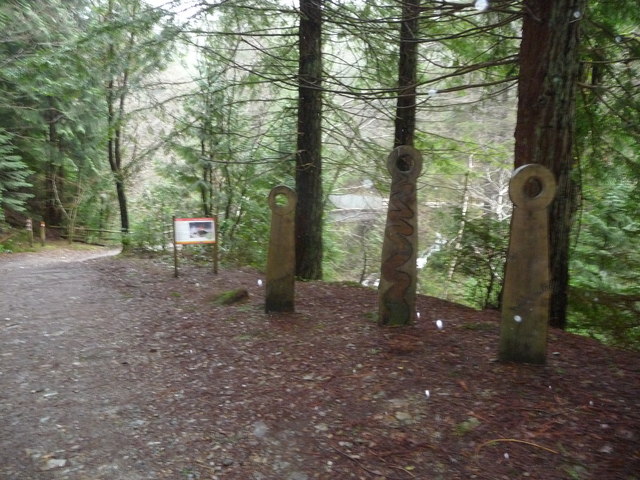
Coed Dôl-frwynog boasts a network of well-maintained walking trails, allowing visitors to explore its beauty at their own pace. The trails are suitable for all levels of fitness, ranging from gentle strolls to more challenging hikes. Along the way, hikers may catch a glimpse of the local wildlife, including red squirrels, badgers, and various bird species.
In addition to its natural beauty, Coed Dôl-frwynog also holds historical and cultural significance. The forest is dotted with remnants of ancient settlements and burial sites, providing a glimpse into the region's past. It is also believed to have been a source of inspiration for many local poets and artists.
Overall, Coed Dôl-frwynog offers a captivating and immersive experience for nature enthusiasts and history buffs alike. Its combination of stunning landscapes, diverse wildlife, and rich cultural heritage make it a must-visit destination for those exploring the beauty of Merionethshire.
If you have any feedback on the listing, please let us know in the comments section below.
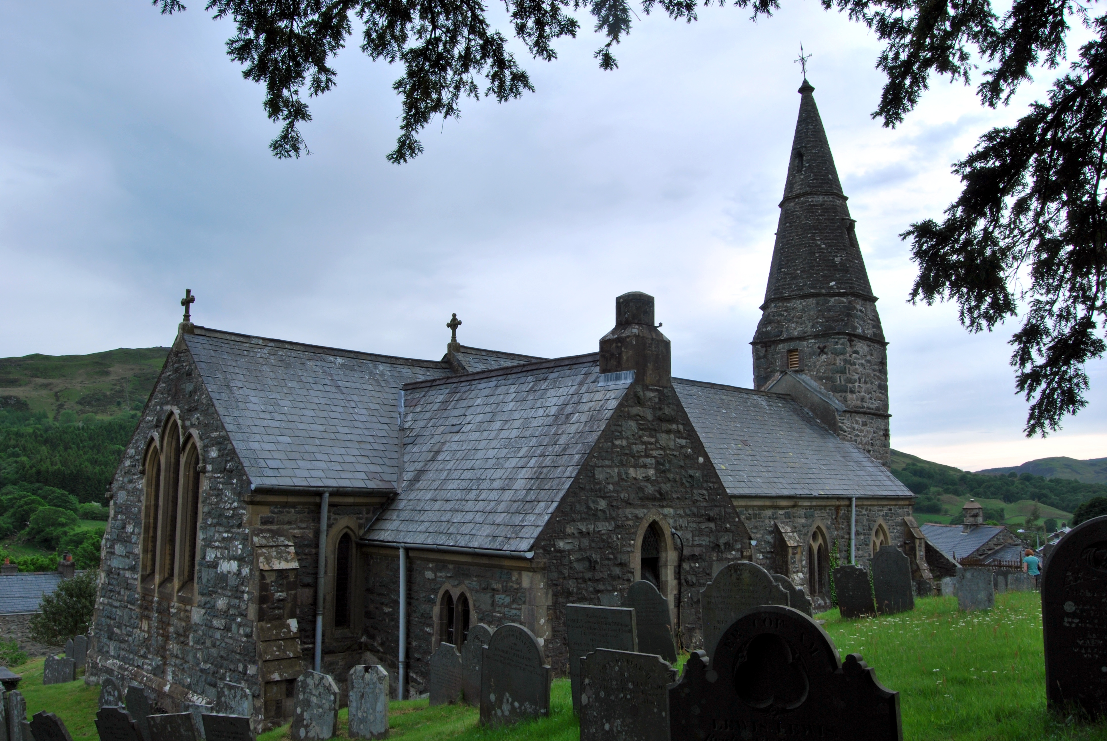
Coed Dôl-frwynog Images
Images are sourced within 2km of 52.81089/-3.8595899 or Grid Reference SH7425. Thanks to Geograph Open Source API. All images are credited.


Coed Dôl-frwynog is located at Grid Ref: SH7425 (Lat: 52.81089, Lng: -3.8595899)
Unitary Authority: Gwynedd
Police Authority: North Wales
What 3 Words
///suffix.earphones.shin. Near Bronaber, Gwynedd
Nearby Locations
Related Wikis

Ganllwyd
Ganllwyd is a small village and community in southern Gwynedd, Wales. It lies in the Snowdonia National Park to the north of Dolgellau. A470 passes through...

Dolmelynllyn Estate
Dolmelynllyn Estate is an area of farmland, woodland and parkland near the village of Ganllwyd in southern Gwynedd, Wales. It is owned by the National...

Pistyll Cain
Pistyll Cain, also written as Pistill Cain and Pistill Y Caen, is a renowned waterfall in Meirionnydd (Sir Feirionnydd) in north Wales. It lies north-east...
Afon Eden
Afon Eden is a tributary river than runs into the Afon Mawddach in Gwynedd, Wales. It is a protected river because it is one of the few breeding grounds...
Llanfachreth
Llanfachreth is a settlement approximately three miles north-east of Dolgellau, Gwynedd, in the community of Brithdir and Llanfachreth within the historic...

Merionethshire
Merionethshire or Merioneth (Welsh: Meirionnydd or Sir Feirionnydd) is one of thirteen historic counties of Wales, a vice county and a former administrative...
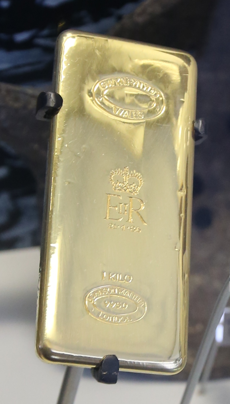
Gwynfynydd Gold Mine
Gwynfynydd Gold Mine is near Ganllwyd, Dolgellau, Gwynedd, Wales. The lode, which was discovered in 1860, was worked from 1884. It has produced more than...

Coed Ganllwyd National Nature Reserve
Coed Ganllwyd National Nature Reserve is situated behind the village of Ganllwyd on the A470, about 9 kilometres north of Dolgellau in Wales, United Kingdom...
Related Videos

Hiking to forest bothey , Love it here as it’s miles from civilisation.
Hiking to forest bothey , Love it here as it's miles from civilisation. Plenty of space if you turn up & there are other people staying.

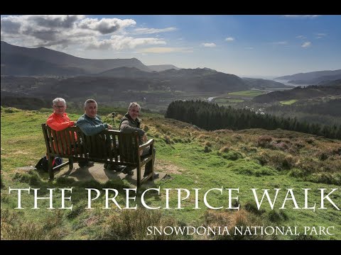
The Precipice Walk - with Bob, Alan & Bill
March 25th 2019. We are heading to Talsarnau for our what is now and annual few days away in North Wales. Last evening we ...
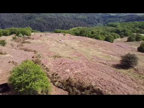
Hafod Y Fedw
Drone footage of highland cattle up on the mountain at Ganllwyd. National Trust land, near Hafod y Fedw holiday cottage.
Nearby Amenities
Located within 500m of 52.81089,-3.8595899Have you been to Coed Dôl-frwynog?
Leave your review of Coed Dôl-frwynog below (or comments, questions and feedback).