Coed Cwm-ysgolion
Wood, Forest in Merionethshire
Wales
Coed Cwm-ysgolion
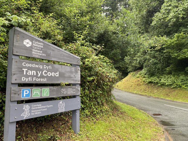
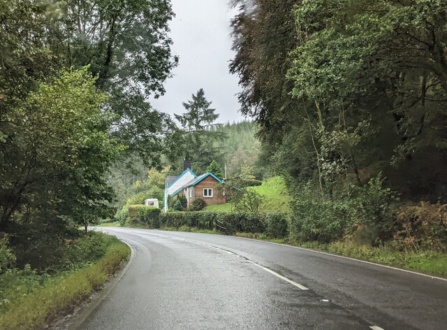
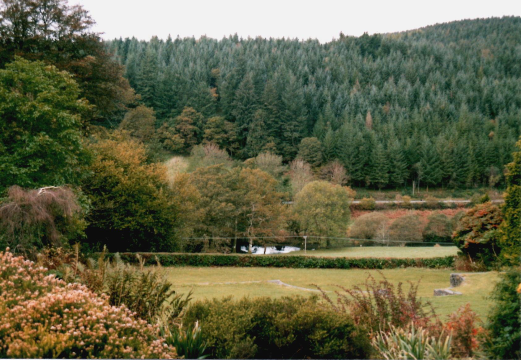
Coed Cwm-ysgolion, located in Merionethshire, Wales, is a picturesque wooded area known for its natural beauty and rich history. The name "Coed Cwm-ysgolion" translates to "Wood, Forest" in English, accurately describing the area's prominent feature.
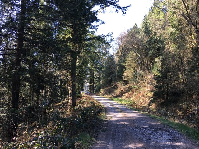
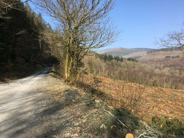
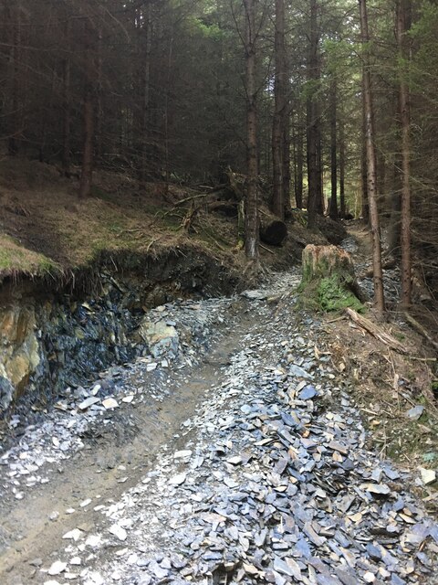
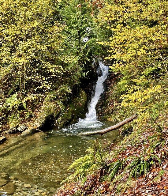
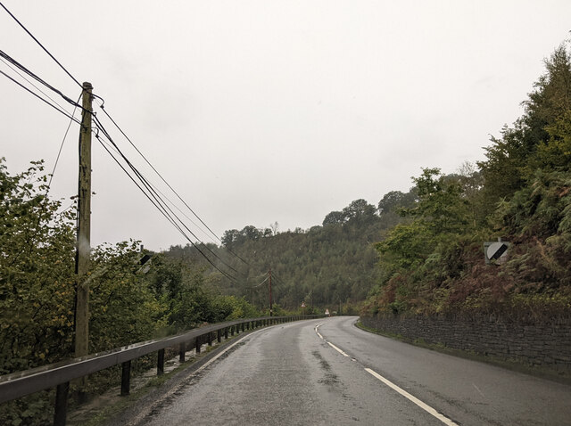
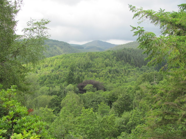
Covering a vast area, Coed Cwm-ysgolion is characterized by dense woodland, comprising a diverse range of tree species, including oak, beech, and pine. The forest is home to a variety of wildlife, such as birds, foxes, badgers, and deer, making it an attractive spot for nature enthusiasts and walkers alike.
Steeped in history, the woodlands of Coed Cwm-ysgolion are dotted with remnants of ancient settlements and archaeological sites. These include the ruins of old homesteads, standing stones, and burial mounds, providing a glimpse into the area's past and captivating those with an interest in local history.
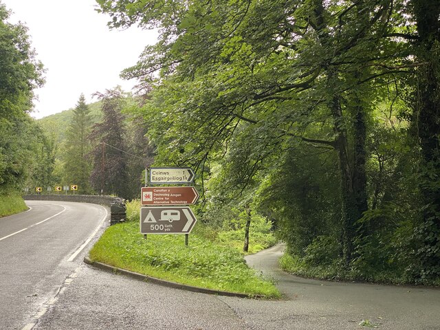
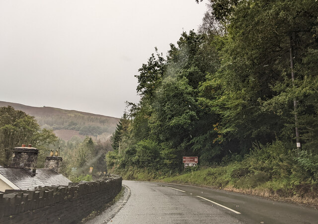
The forest offers several walking trails, allowing visitors to explore its beauty and immerse themselves in nature. The paths meander through the woods, offering stunning views of the surrounding countryside and providing opportunities for birdwatching and wildlife spotting.
Coed Cwm-ysgolion serves as a popular destination for outdoor activities such as hiking, picnicking, and photography. It is also a common location for educational field trips, where students can learn about the local ecosystem and participate in environmental studies.
Overall, Coed Cwm-ysgolion, Merionethshire, is a serene and captivating woodland area, offering a peaceful retreat for nature lovers, history enthusiasts, and anyone seeking solace in the midst of Wales' natural beauty.
If you have any feedback on the listing, please let us know in the comments section below.
Coed Cwm-ysgolion Images
Images are sourced within 2km of 52.620279/-3.863361 or Grid Reference SH7304. Thanks to Geograph Open Source API. All images are credited.


Coed Cwm-ysgolion is located at Grid Ref: SH7304 (Lat: 52.620279, Lng: -3.863361)
Unitary Authority: Gwynedd
Police Authority: North Wales
What 3 Words
///relieves.dimension.sorters. Near Machynlleth, Powys
Nearby Locations
Related Wikis
Pantperthog
Pantperthog is a hamlet in southern Gwynedd in Wales, 2 miles north of Machynlleth and 14 miles southeast of Dolgellau. Nearby is the former Llwyngwern...

Llwyngwern railway station
Llwyngwern was a station on the Corris Railway in Wales, built to serve the hamlet of Pantperthog and the residents of Plas Llwyngwern, a house where a...
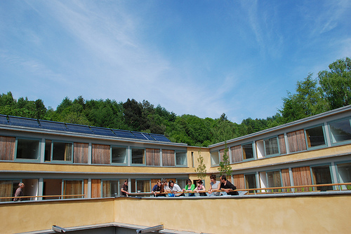
Wales Institute for Sustainable Education
The Wales Institute for Sustainable Education (WISE) is an educational building located at the Centre for Alternative Technology near Machynlleth, Powys...
Centre for Alternative Technology
The Centre for Alternative Technology (CAT) (Welsh: Canolfan y Dechnoleg Amgen) is an eco-centre in Montgomeryshire, Powys, Wales dedicated to demonstrating...
Nearby Amenities
Located within 500m of 52.620279,-3.863361Have you been to Coed Cwm-ysgolion?
Leave your review of Coed Cwm-ysgolion below (or comments, questions and feedback).