Coed Bryn-prydydd
Wood, Forest in Merionethshire
Wales
Coed Bryn-prydydd
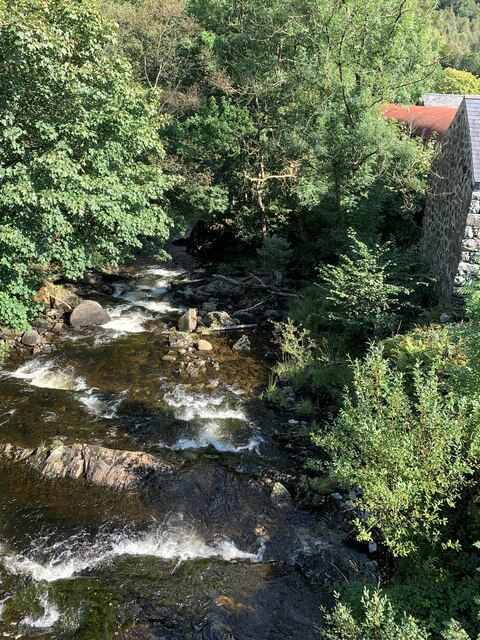
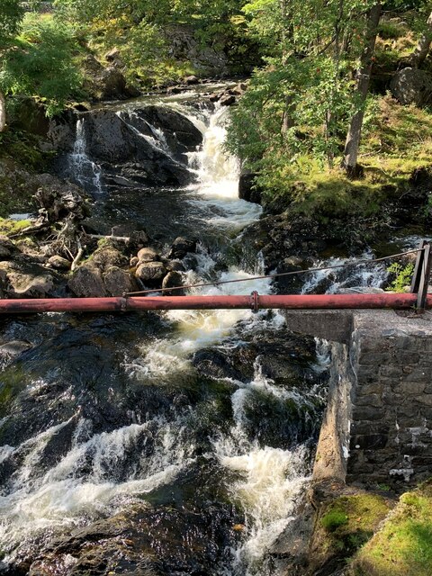
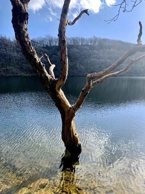
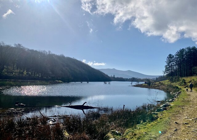
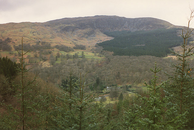
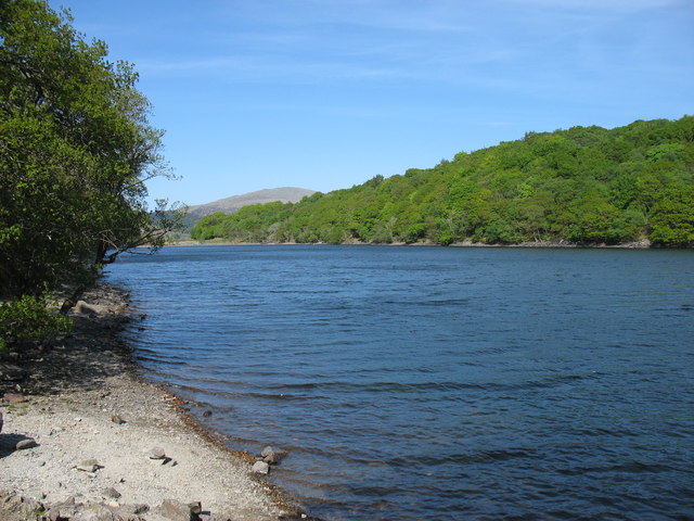
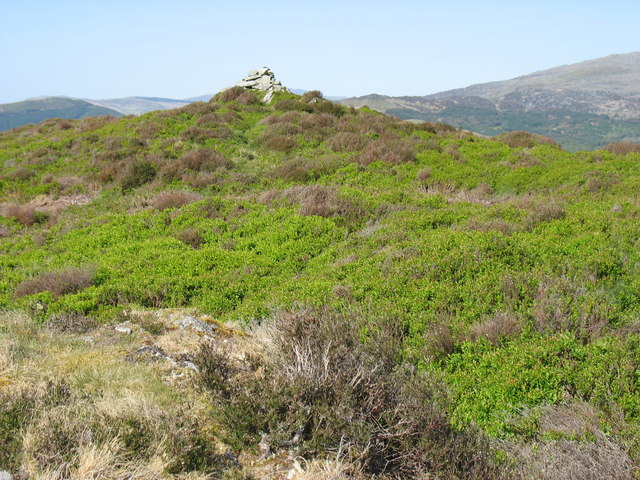
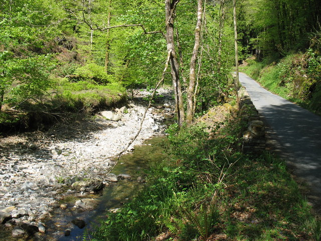
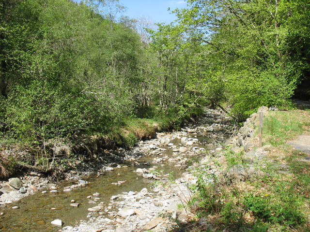
Coed Bryn-prydydd, located in Merionethshire, is a scenic woodland area known for its natural beauty and rich biodiversity. Situated in the heart of Wales, this forest covers a vast area and offers a peaceful retreat for nature enthusiasts and outdoor adventurers alike.
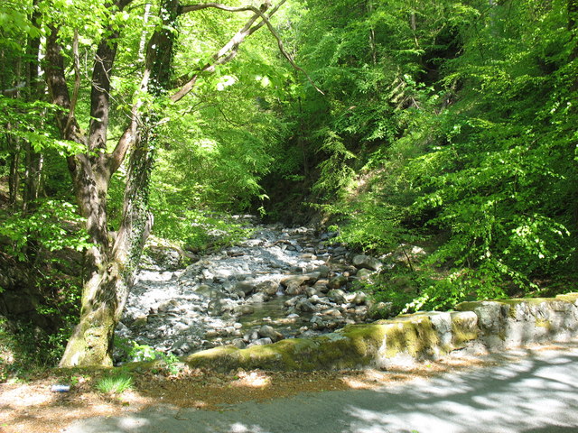
The woodland is characterized by its diverse range of tree species, including oak, beech, ash, and birch. These towering trees create a dense canopy that provides shelter to a wide variety of wildlife, such as red squirrels, badgers, and a plethora of bird species. Additionally, the forest is home to an array of plant species, including delicate wildflowers and ferns that thrive in the shaded undergrowth.
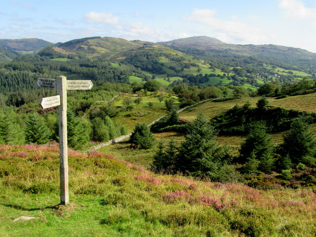
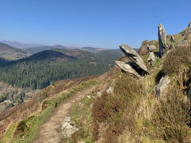
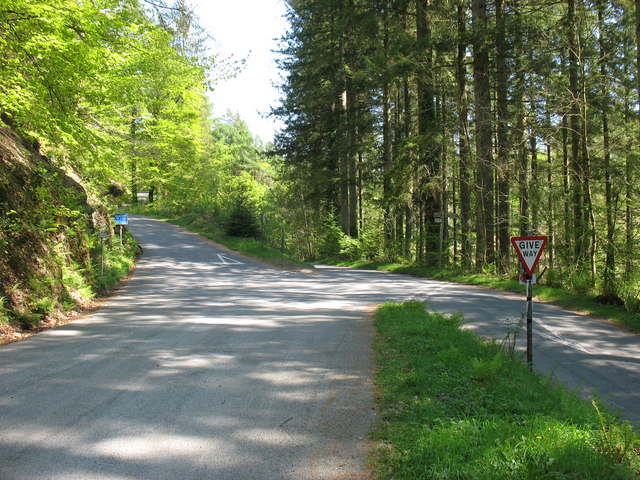
Coed Bryn-prydydd is crisscrossed by a network of well-maintained trails, allowing visitors to explore the forest at their own pace. These paths wind through the woodland, offering stunning views of the surrounding landscape and opportunities to spot local wildlife. Nature lovers can enjoy peaceful walks, birdwatching, or even a picnic among the tranquil surroundings.
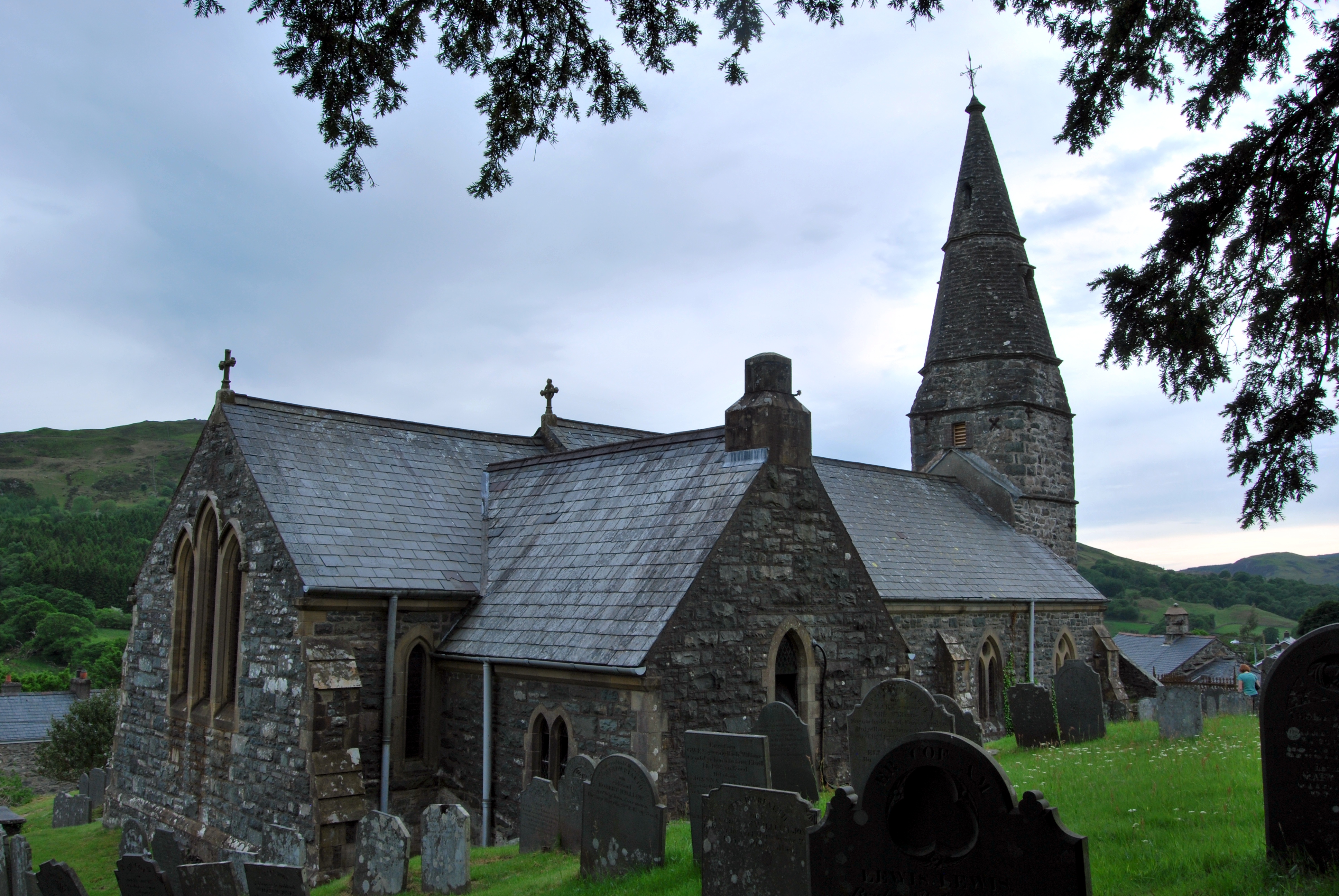
The forest also holds historical significance, with remnants of ancient settlements and burial sites dotted throughout. These archaeological remnants provide a window into the past, allowing visitors to connect with the rich history of the area.
Coed Bryn-prydydd is a haven for those seeking solace in nature, offering a harmonious blend of lush vegetation, wildlife, and historical landmarks. Whether it's a leisurely stroll, a wildlife-spotting expedition, or a chance to immerse oneself in the past, this woodland in Merionethshire is sure to captivate visitors with its natural charm.
If you have any feedback on the listing, please let us know in the comments section below.
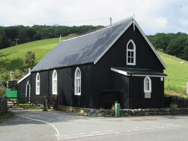
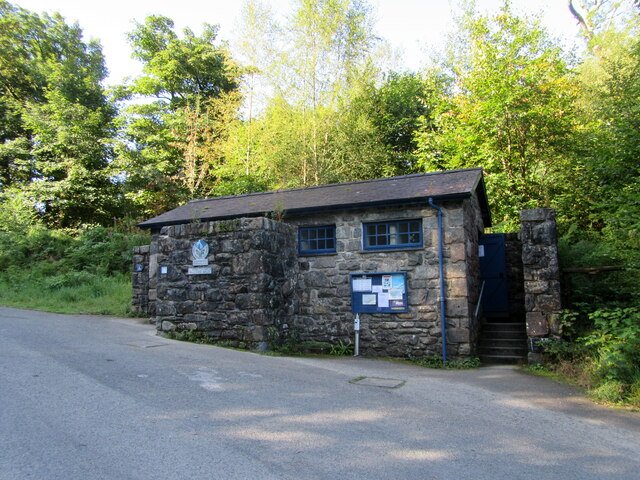
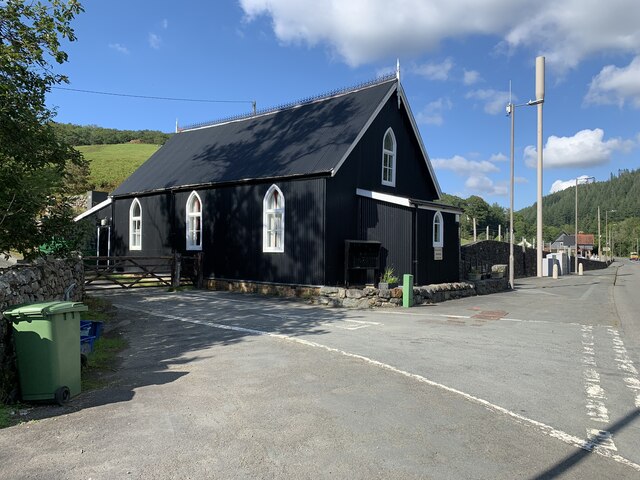
Coed Bryn-prydydd Images
Images are sourced within 2km of 52.788464/-3.87069 or Grid Reference SH7322. Thanks to Geograph Open Source API. All images are credited.
Coed Bryn-prydydd is located at Grid Ref: SH7322 (Lat: 52.788464, Lng: -3.87069)
Unitary Authority: Gwynedd
Police Authority: North Wales
What 3 Words
///widest.fabric.greeting. Near Dolgellau, Gwynedd
Nearby Locations
Related Wikis
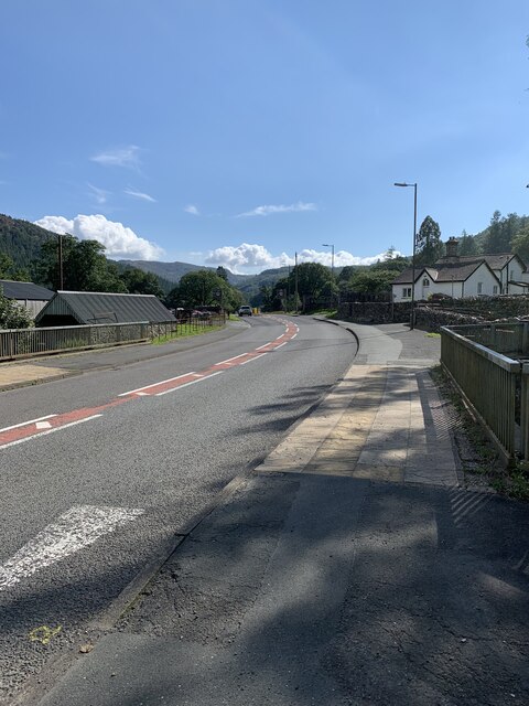
Llanfachreth
Llanfachreth is a settlement approximately three miles north-east of Dolgellau, Gwynedd, in the community of Brithdir and Llanfachreth within the historic...

Ganllwyd
Ganllwyd is a small village and community in southern Gwynedd, Wales. It lies in the Snowdonia National Park to the north of Dolgellau. A470 passes through...

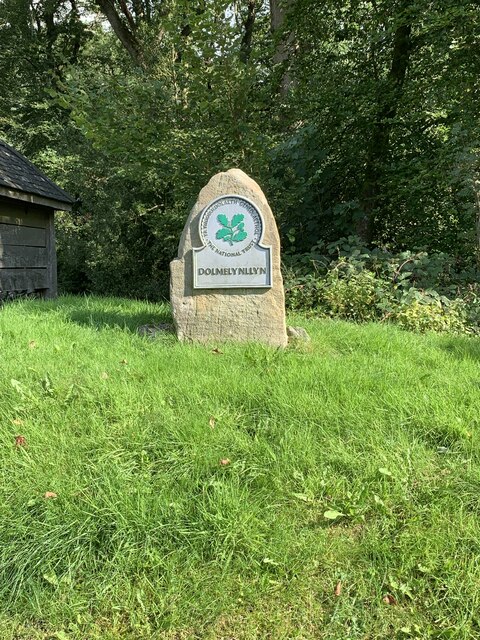
Dolmelynllyn Estate
Dolmelynllyn Estate is an area of farmland, woodland and parkland near the village of Ganllwyd in southern Gwynedd, Wales. It is owned by the National...

Nannau, Wales
Nannau (Welsh for 'the place of many streams'') is a Georgian mansion and estate near the village of Llanfachreth, Gwynedd, North Wales, UK. The mansion...
Nearby Amenities
Located within 500m of 52.788464,-3.87069Have you been to Coed Bryn-prydydd?
Leave your review of Coed Bryn-prydydd below (or comments, questions and feedback).