Coed Gwyn-fynydd
Wood, Forest in Merionethshire
Wales
Coed Gwyn-fynydd
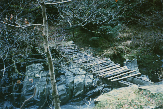
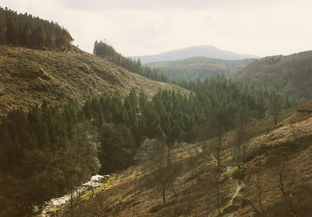
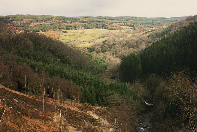
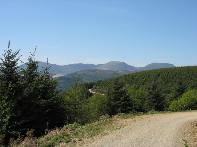
Coed Gwyn-fynydd, located in Merionethshire, is a stunning wood or forest that boasts remarkable natural beauty and rich biodiversity. Spanning over a vast area, Coed Gwyn-fynydd is known for its diverse range of plant and animal species, making it a popular destination for nature enthusiasts and wildlife lovers.
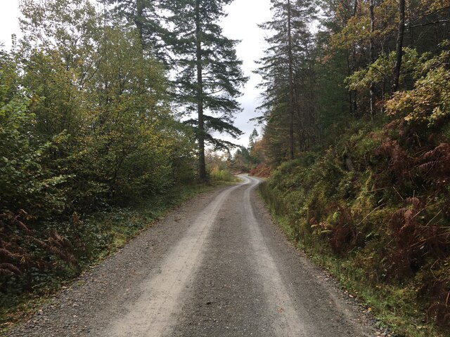
The forest is characterized by its dense canopy of towering trees, including oak, beech, and ash, which create a picturesque landscape. The forest floor is covered with a lush carpet of ferns, mosses, and wildflowers, adding to its overall enchanting ambiance.
Coed Gwyn-fynydd is home to a variety of wildlife species, including red squirrels, badgers, foxes, and several species of birds. Keen-eyed visitors may also spot elusive creatures such as pine martens and otters, which are relatively rare in the region.
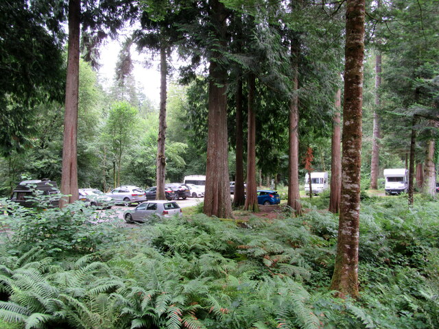
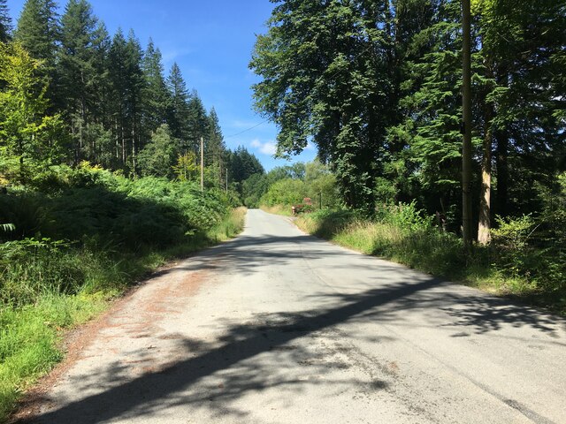
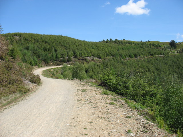
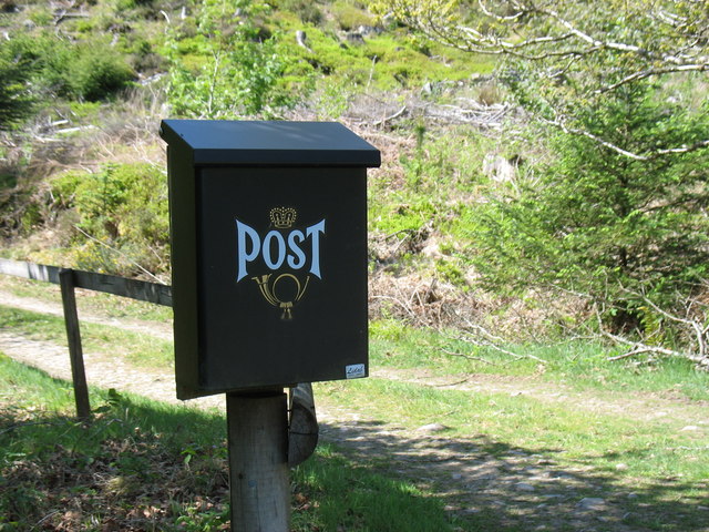
The forest offers numerous walking trails and paths, allowing visitors to explore its beauty at their own pace. Additionally, there are picnic areas and designated camping spots for those wishing to spend more time immersed in nature.
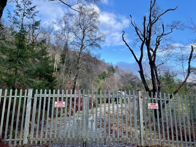
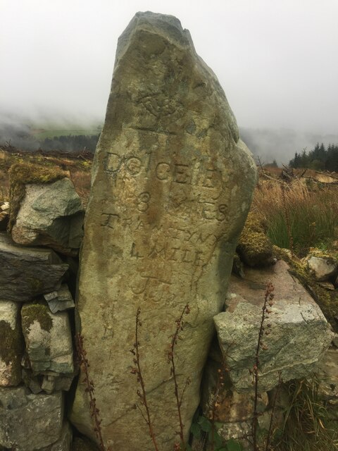
Coed Gwyn-fynydd is also significant from a historical perspective. The forest holds remnants of ancient settlements, including hut circles and burial mounds, providing glimpses into the lives of past inhabitants.
Overall, Coed Gwyn-fynydd in Merionethshire is a remarkable woodland oasis, offering a serene retreat and a chance to discover the wonders of nature. Whether it's for a leisurely stroll, wildlife spotting, or a deeper exploration of its historical significance, this forest has something to offer for everyone.
If you have any feedback on the listing, please let us know in the comments section below.
Coed Gwyn-fynydd Images
Images are sourced within 2km of 52.832567/-3.8784192 or Grid Reference SH7327. Thanks to Geograph Open Source API. All images are credited.


Coed Gwyn-fynydd is located at Grid Ref: SH7327 (Lat: 52.832567, Lng: -3.8784192)
Unitary Authority: Gwynedd
Police Authority: North Wales
What 3 Words
///hatch.washed.cherubs. Near Bronaber, Gwynedd
Nearby Locations
Related Wikis

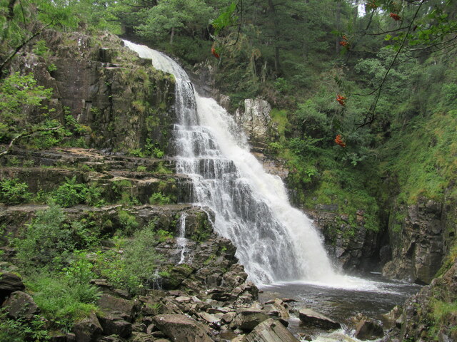
Pistyll Cain
Pistyll Cain, also written as Pistill Cain and Pistill Y Caen, is a renowned waterfall in Meirionnydd (Sir Feirionnydd) in north Wales. It lies north-east...
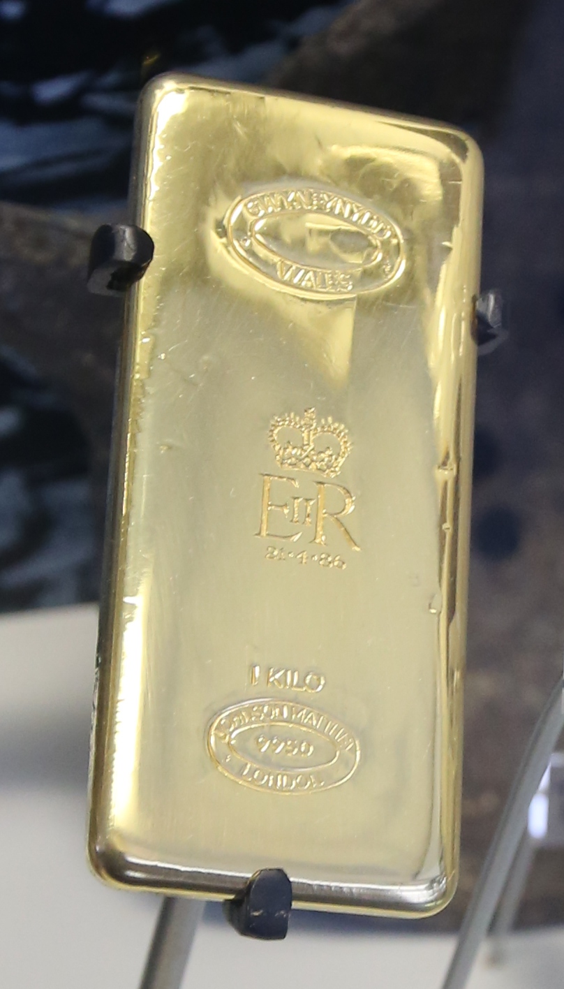
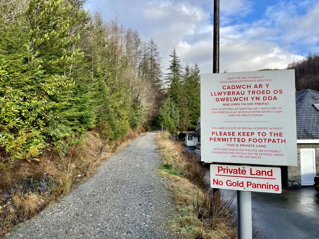
Gwynfynydd Gold Mine
Gwynfynydd Gold Mine is near Ganllwyd, Dolgellau, Gwynedd, Wales. The lode, which was discovered in 1860, was worked from 1884. It has produced more than...

Gwynedd
Gwynedd (/ˈɡwɪnɛð/; Welsh: [ˈɡuɨ̯nɛð]) is a county in the north-west of Wales. It borders Anglesey across the Menai Strait to the north, Conwy, Denbighshire...

Coed-y-Brenin
Coed y Brenin (Welsh for King's Forest) is a forest in the Snowdonia National Park, North Wales near Dolgellau at grid reference SH7127. It is popular...
Nearby Amenities
Located within 500m of 52.832567,-3.8784192Have you been to Coed Gwyn-fynydd?
Leave your review of Coed Gwyn-fynydd below (or comments, questions and feedback).