Burrow on the Hill
Settlement in Leicestershire Melton
England
Burrow on the Hill
Burrow on the Hill is a picturesque village located in the county of Leicestershire, England. Situated approximately 6 miles east of Loughborough, this small village is nestled in the heart of the beautiful Charnwood Forest.
The history of Burrow on the Hill dates back centuries, with evidence of human settlement in the area from prehistoric times. The village itself has a charming and traditional atmosphere, with a handful of quaint cottages and historic buildings that add to its character.
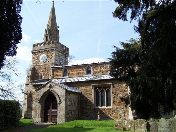
One of the notable landmarks in Burrow on the Hill is the St. Mary's Church, a Grade II listed building that dates back to the 14th century. The church features stunning architectural details and is a popular spot for visitors seeking a glimpse into the village's past.
Another point of interest in the area is Burrow Hill, from which the village takes its name. This ancient hill provides breathtaking views of the surrounding countryside, making it a favorite spot for hikers, nature enthusiasts, and photographers.
Despite its small size, Burrow on the Hill boasts a tight-knit community that organizes various events throughout the year. These include village fairs, charity fundraisers, and traditional celebrations, fostering a strong sense of community spirit.
For those looking to explore the wider area, Burrow on the Hill offers easy access to the nearby attractions of Charnwood Forest and the vibrant city of Leicester. With its idyllic setting and rich history, Burrow on the Hill is a hidden gem in Leicestershire that offers a peaceful retreat from the hustle and bustle of modern life.
If you have any feedback on the listing, please let us know in the comments section below.
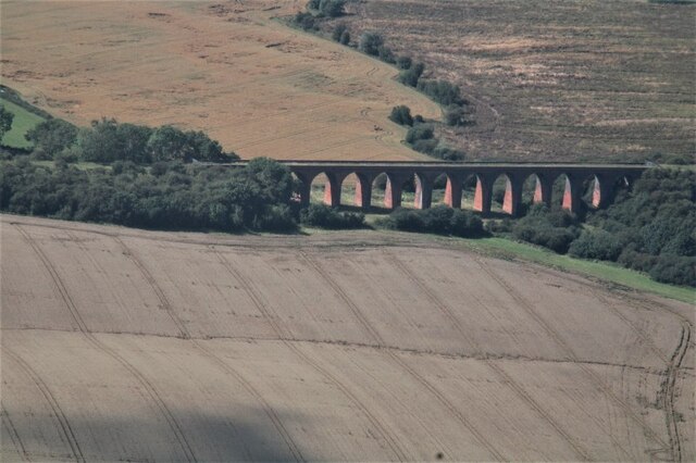
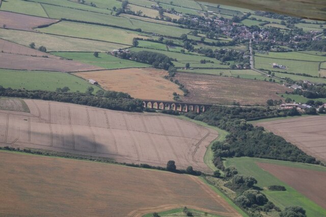
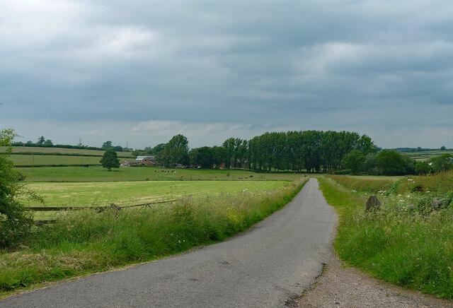
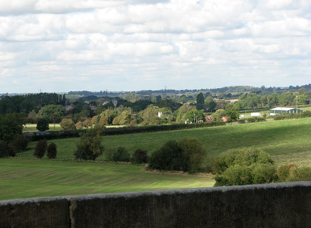
Burrow on the Hill Images
Images are sourced within 2km of 52.682514/-0.89201 or Grid Reference SK7510. Thanks to Geograph Open Source API. All images are credited.


Burrow on the Hill is located at Grid Ref: SK7510 (Lat: 52.682514, Lng: -0.89201)
Administrative County: Leicestershire
District: Melton
Police Authority: Leicestershire
What 3 Words
///skidding.pupils.shared. Near Langham, Rutland
Nearby Locations
Related Wikis

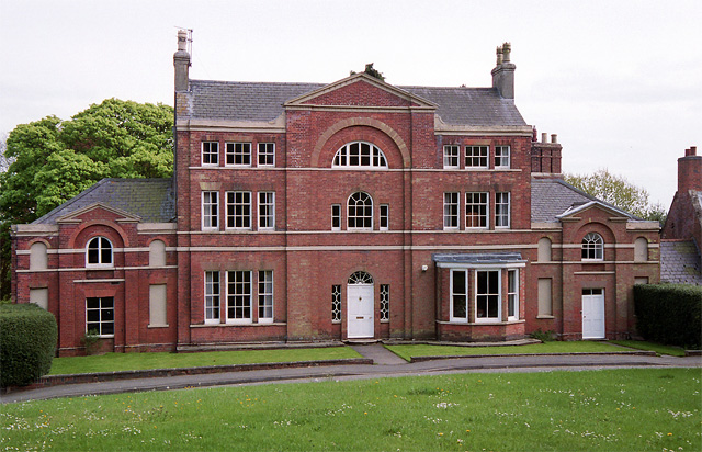
Burrough Court
Burrough Court is a former stately home in Burrough on the Hill near Melton Mowbray in the East Midlands, England. Burrough Court was once the site of...
Burrough on the Hill
Burrough-on-the Hill is a small village and former civil parish, now in the parish of Somerby, in the Melton district, in the county of Leicestershire...

John O' Gaunt railway station
John O'Gaunt railway station was a railway station serving the villages of Twyford, John O'Gaunt and Burrough on the Hill in Leicestershire, England. on...
Burrough on the Hill Manor
Burrough on the Hill Manor is an 18th-century brick-built house in the village of Burrough on the Hill, in the civil parish of Somerby, in the Melton district...
Nearby Amenities
Located within 500m of 52.682514,-0.89201Have you been to Burrow on the Hill?
Leave your review of Burrow on the Hill below (or comments, questions and feedback).