Burrow

Settlement in Somerset Somerset West and Taunton

England

Burrow

Ordnance Survey Cut Mark This OS cut mark can be found on the wall of the old rectory. It marks a point 117.433m above mean sea level.
Ordnance Survey Cut Mark Credit: Adrian Dust

Burrow is a small village located in the county of Somerset, in southwestern England. Situated about 8 miles northeast of the town of Yeovil, Burrow is nestled amidst the picturesque countryside of the Somerset Levels. The village is part of the South Somerset district and falls within the parliamentary constituency of Somerton and Frome.

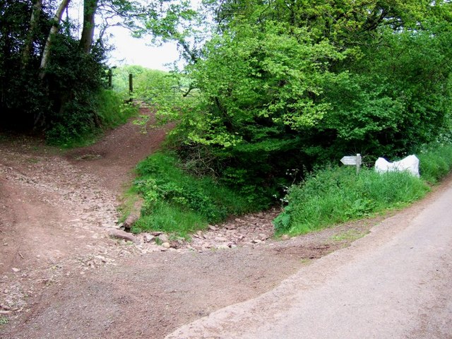
Burrow is known for its tranquil and idyllic setting, offering residents and visitors a peaceful retreat from the hustle and bustle of urban life. The village is surrounded by lush green fields and rolling hills, providing ample opportunities for walking, cycling, and enjoying the natural beauty of the area. The nearby River Yeo adds to the charm of the village, offering scenic riverside walks and fishing spots.

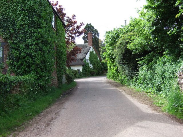
The village itself consists of a mix of traditional stone cottages and more modern houses, giving it a charming and diverse architectural character. It has a close-knit community with a small population, fostering a strong sense of community spirit and belonging.

Although Burrow is a peaceful village, it benefits from good transport links. The A37 road runs nearby, connecting the village to Yeovil and other neighboring towns. The nearby Yeovil Junction railway station provides direct train services to London and Exeter, making it easy for residents to access larger cities and commute to work.

In terms of amenities, Burrow boasts a local pub, which serves as a hub for socializing and community events. There are also several shops and services available in nearby towns for everyday needs.

Overall, Burrow offers a tranquil and picturesque setting, making it an appealing place to reside for those seeking a peaceful rural lifestyle in the heart of Somerset.

If you have any feedback on the listing, please let us know in the comments section below.
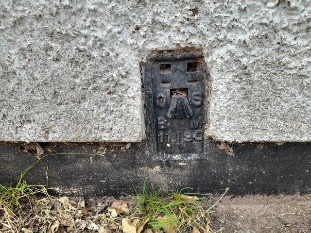
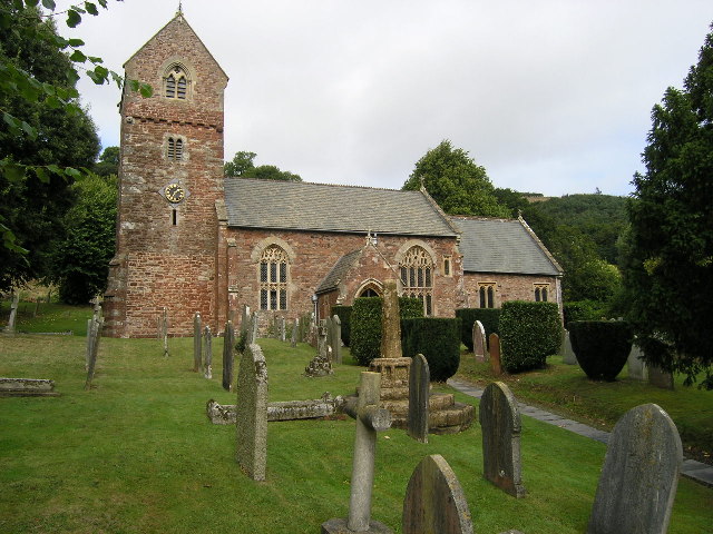
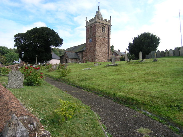
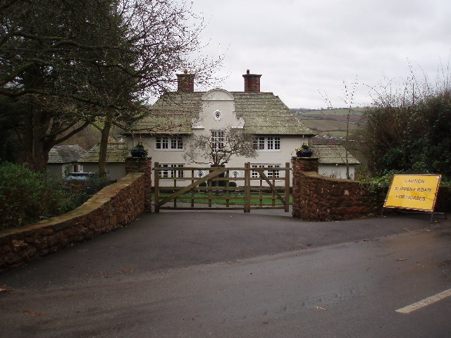
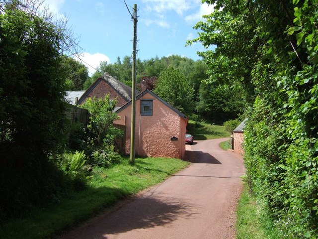
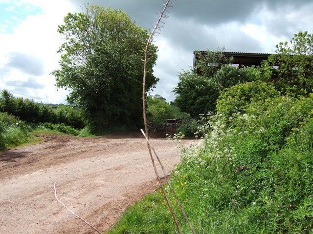
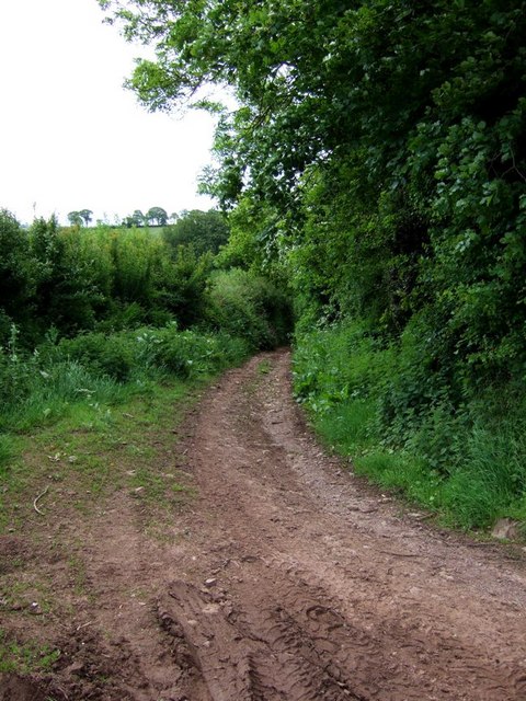
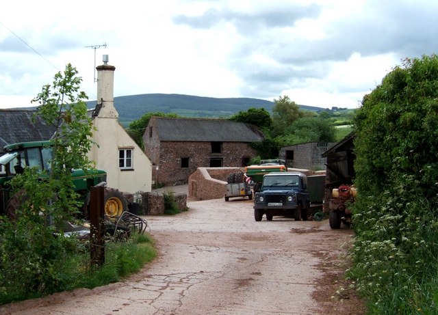
Burrow Images

Images are sourced within 2km of 51.168666/-3.518983 or Grid Reference SS9342. Thanks to Geograph Open Source API. All images are credited.

Ordnance Survey Cut Mark This OS cut mark can be found on the wall of the old rectory. It marks a point 117.433m above mean sea level.
Ordnance Survey Cut Mark
This OS cut mark can be found on the wall of the old rectory. It marks a point 117.433m above mean sea level.
Ordnance Survey Cut Mark This OS cut mark can be found on the NW angle of All Saints Church. It marks a point 129.863m above mean sea level.
Ordnance Survey Cut Mark
This OS cut mark can be found on the NW angle of All Saints Church. It marks a point 129.863m above mean sea level.
Ordnance Survey Cut Mark This OS cut mark can be found on the wall of Huntsham. It marks a point 72.713m above mean sea level.
Ordnance Survey Cut Mark
This OS cut mark can be found on the wall of Huntsham. It marks a point 72.713m above mean sea level.
Ordnance Survey Cut Mark This OS cut mark can be found on the east parapet of Cow Bridge. It marks a point 62.410m above mean sea level.
Ordnance Survey Cut Mark
This OS cut mark can be found on the east parapet of Cow Bridge. It marks a point 62.410m above mean sea level.
Ordnance Survey Flush Bracket (11195) This OS Flush Bracket can be found on the NE angle of the school house. It marks a point 77.073m above mean sea level.
Ordnance Survey Flush Bracket (11195)
This OS Flush Bracket can be found on the NE angle of the school house. It marks a point 77.073m above mean sea level.
Ordnance Survey Cut Mark This OS cut mark can be found on the SW angle of St Petrock's Church. It marks a point 81.800m above mean sea level.
Ordnance Survey Cut Mark
This OS cut mark can be found on the SW angle of St Petrock's Church. It marks a point 81.800m above mean sea level.
Wootton Courtenay, Somerset The church of All Saints
Wootton Courtenay, Somerset
The church of All Saints
Timberscombe, Somerset The church of St Petrock
Timberscombe, Somerset
The church of St Petrock
House at Cowbridge Cross. This very smart house is quietly situated on the lane to Wootton Courtenay. The sign bears testimony to the fact that a large proportion of the passing traffic has four legs.
House at Cowbridge Cross.
This very smart house is quietly situated on the lane to Wootton Courtenay. The sign bears testimony to the fact that a large proportion of the passing traffic has four legs.
Woodland Bridleway near Wootton Courtenay This photograph looks south towards Exmoor, the bridleway goes to Ranscombe Farm.
Woodland Bridleway near Wootton Courtenay
This photograph looks south towards Exmoor, the bridleway goes to Ranscombe Farm.
Brockwell Farm There is a small cluster of farm buildings at Brockwell on the lane from Wootton Courtenay to Ford. The rich pink colour looks surprisingly harmonious against the verdant greenery.
Brockwell Farm
There is a small cluster of farm buildings at Brockwell on the lane from Wootton Courtenay to Ford. The rich pink colour looks surprisingly harmonious against the verdant greenery.
Cottage at Ford Coming across cottages such as this is one of the great bonuses of Geographing. Almost at the end of a dead-end lane, probably very few people ever see this beautiful example of an Exmoor cottage.
Cottage at Ford
Coming across cottages such as this is one of the great bonuses of Geographing. Almost at the end of a dead-end lane, probably very few people ever see this beautiful example of an Exmoor cottage.
Stile Down There is a large barn here and a considerable quantity of large farm machinery is parked on the verges. At this 90º bend in the lane a track (Elscombe Lane) continues on straight ahead.
Stile Down
There is a large barn here and a considerable quantity of large farm machinery is parked on the verges. At this 90º bend in the lane a track (Elscombe Lane) continues on straight ahead.
Elscombe Lane, Stile Down This track initially heads off southwards then veers more eastward as it crosses a brook. It eventually gets to Waydown Cross. I think the valley which the brook runs through is probably Elscombe giving the lane its name.
Elscombe Lane, Stile Down
This track initially heads off southwards then veers more eastward as it crosses a brook. It eventually gets to Waydown Cross. I think the valley which the brook runs through is probably Elscombe giving the lane its name.
Annicombe This is the entrance and track to the property called Annicombe which is off Spangate Lane near Stile. Beyond it is Elsworthy Allotment.
Annicombe
This is the entrance and track to the property called Annicombe which is off Spangate Lane near Stile. Beyond it is Elsworthy Allotment.
Fairgarden Farm Fairgarden Farm near Stile. This is quite an extensive farm on Exmoor. It has a lot of equipment parked along the lane between here and Stile Down.
Fairgarden Farm
Fairgarden Farm near Stile. This is quite an extensive farm on Exmoor. It has a lot of equipment parked along the lane between here and Stile Down.
Hole Cross, Stile This is a track / lane junction at Stile. The metalled lane is to the right. One track goes off to the left, this is Digland Lane (<a href="https://www.geograph.org.uk/photo/177412">SS9241 : Digland Lane</a>) which becomes Spangate Lane (<a href="https://www.geograph.org.uk/photo/177410">SS9241 : Spangate Lane</a>) a little further on (near Annicombe, see <a href="https://www.geograph.org.uk/photo/177236">SS9241 : Annicombe</a>). The little sign has a "typo" as it says "Spagate". A second track goes straight ahead into the trees, only its first few yards can be seen here (it is by the sign, not the bit leading up to the gate). This track leads through to Ford (see <a href="https://www.geograph.org.uk/photo/177345">SS9242 : Ford</a>)
Hole Cross, Stile
This is a track / lane junction at Stile. The metalled lane is to the right. One track goes off to the left, this is Digland Lane (SS9241 : Digland Lane) which becomes Spangate Lane (SS9241 : Spangate Lane) a little further on (near Annicombe, see SS9241 : Annicombe). The little sign has a "typo" as it says "Spagate". A second track goes straight ahead into the trees, only its first few yards can be seen here (it is by the sign, not the bit leading up to the gate). This track leads through to Ford (see SS9242 : Ford)
Burrow The hamlet of Burrow. Burrow farm is in the centre.
Burrow
The hamlet of Burrow. Burrow farm is in the centre.
Show me another place!

Burrow is located at Grid Ref: SS9342 (Lat: 51.168666, Lng: -3.518983)

Administrative County: Somerset

District: Somerset West and Taunton

Police Authority: Avon and Somerset

What 3 Words

///galloped.attracts.electric. Near Minehead, Somerset

Nearby Locations

Wootton Courtenay Burrow

Related Wikis

Wootton Courtenay

Wootton Courtenay is a village and civil parish on Exmoor in the Somerset West and Taunton district of Somerset, England. The parish includes the hamlets...

Dunster Park and Heathlands

Dunster Park and Heathlands (grid reference SS955441) is a 466.6 hectare biological Site of Special Scientific Interest in Somerset, notified in 2000....

Chapel of St Leonard, Tivington

The Anglican Chapel of St Leonard in Tivington, Somerset, England was built in the mid 14th century as a chapel of ease. It is a Grade II* listed building...

Church of St John, Cutcombe

The Anglican Church of St John in Cutcombe, Somerset, England was built in the 13th and 14th centuries. It is a Grade II* listed building. == History... ==

Nearby Amenities

Located within 500m of 51.168666,-3.518983
Well Farm
Landuse: farm
Note Retag: CS #48756035
Lat/Long: 51.1677977/-3.5122001
Power: pole
Lat/Long: 51.171902/-3.5146272
Power: pole
Lat/Long: 51.1723292/-3.5163519
Power: pole
Lat/Long: 51.1726907/-3.5177493
The data included in this document is from www.openstreetmap.org. The data is made available under ODbL.

Have you been to Burrow?

Leave your review of Burrow below (or comments, questions and feedback).