Coed Bryn-engan

Wood, Forest in Caernarfonshire

Wales

Coed Bryn-engan

Llynnau Mymbyr from the vicinity of Bwlch Goleuni in the Glyderau
Llynnau Mymbyr from the vicinity of Bwlch Goleuni in the Glyderau Credit: Eric Jones

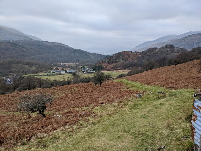
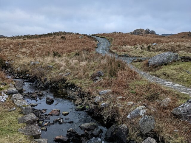
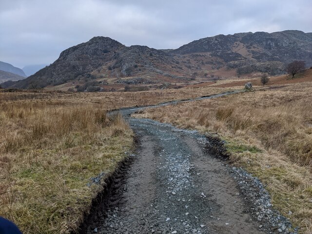
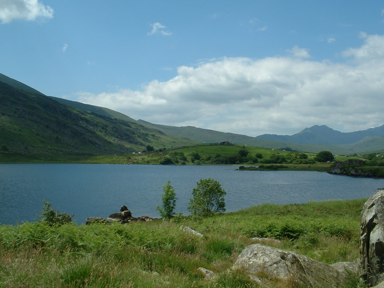
Coed Bryn-engan, located in Caernarfonshire, is a picturesque woodland area known for its abundant natural beauty. Situated in the northwest region of Wales, this forest is a popular destination for nature enthusiasts and hikers alike.

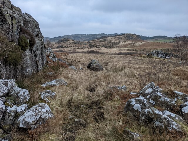
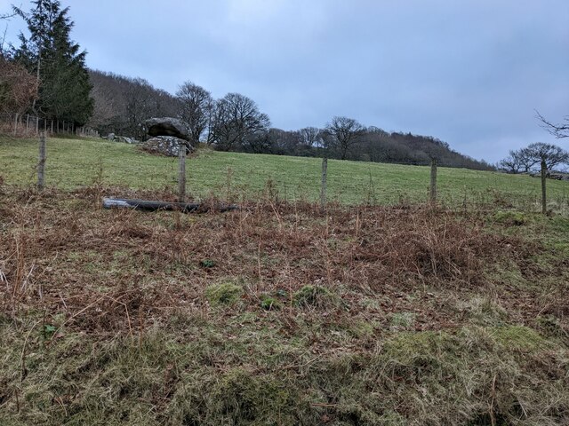
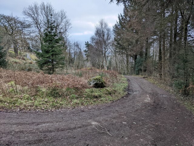
Covering an area of approximately 200 acres, Coed Bryn-engan boasts a diverse range of flora and fauna, making it an important ecological site. The woodland is predominantly composed of native tree species, including oak, beech, and birch, which create a captivating canopy overhead. Visitors are treated to a stunning display of colorful wildflowers during the spring and summer months, enhancing the overall enchanting atmosphere.

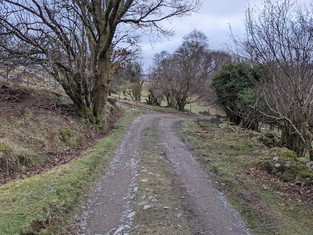
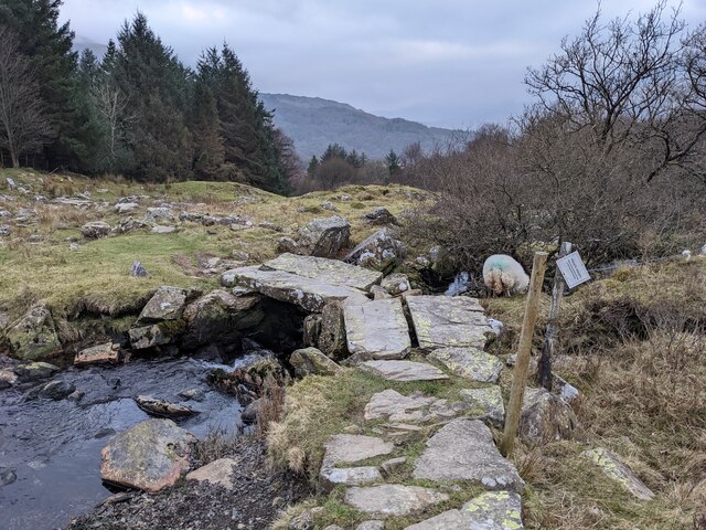
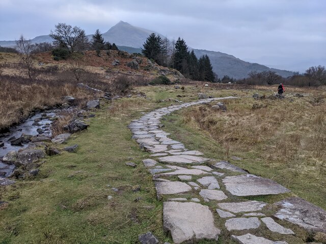
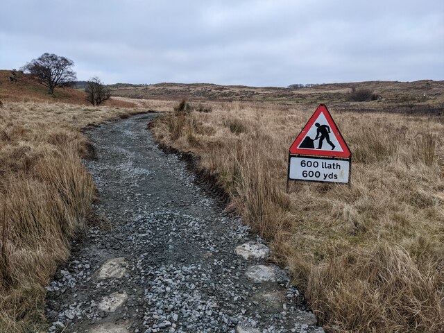
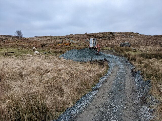
The forest is crisscrossed by a network of well-maintained trails, providing ample opportunities for exploration and adventure. Hiking enthusiasts can choose from a variety of routes of varying difficulty levels, ensuring there is something suitable for everyone. The trails often lead to breathtaking panoramic views of the surrounding countryside, making the trek even more rewarding.

Coed Bryn-engan is also home to a diverse array of wildlife. Visitors may spot deer, foxes, and a variety of bird species, including woodpeckers and owls, among others. Nature lovers will appreciate the peaceful ambiance and the chance to observe these creatures in their natural habitat.

The forest is easily accessible by car, and parking facilities are available for visitors. There are also picnic areas and benches scattered throughout the woodland, allowing visitors to relax and enjoy the tranquility of the surroundings.

Overall, Coed Bryn-engan is a natural gem in Caernarfonshire, offering a perfect blend of natural beauty, recreational opportunities, and wildlife encounters.

If you have any feedback on the listing, please let us know in the comments section below.

Coed Bryn-engan Images

Images are sourced within 2km of 53.098392/-3.9099682 or Grid Reference SH7257. Thanks to Geograph Open Source API. All images are credited.

Llynnau Mymbyr from the vicinity of Bwlch Goleuni in the Glyderau
Capel Curig War Memorial This memorial stands on the inside corner of the bend in the A5 at the junction with the A4086, outside the former church of St Curig.

The memorial is in the form of a wheel cross standing on a pyramidal plinth. The front shaft of the cross bears the commemoration in Welsh “Er diolchus gof am y rhai a roddasant eu bywydau drosom o’r plwyf hwn yn y rhyfel 1914-1918.” This translates as: “In grateful memory of the ones from this parish who gave their lives on our behalf in the war 1914-1918” (<span class="nowrap"><a title="https://historypoints.org/index.php?page=capel-curig-war-memorial" rel="nofollow ugc noopener" href="https://historypoints.org/index.php?page=capel-curig-war-memorial">Link</a><img style="margin-left:2px;" alt="External link" title="External link - shift click to open in new window" src="https://s1.geograph.org.uk/img/external.png" width="10" height="10"/></span> History Points)
Capel Curig War Memorial
This memorial stands on the inside corner of the bend in the A5 at the junction with the A4086, outside the former church of St Curig. The memorial is in the form of a wheel cross standing on a pyramidal plinth. The front shaft of the cross bears the commemoration in Welsh “Er diolchus gof am y rhai a roddasant eu bywydau drosom o’r plwyf hwn yn y rhyfel 1914-1918.” This translates as: “In grateful memory of the ones from this parish who gave their lives on our behalf in the war 1914-1918” (LinkExternal link History Points)
The A5 at Capel Curig The A5 is a major trunk road which runs for about 181 miles from London, in England, to Holyhead, in Wales. For part of its route, it follows a section of the Roman route which later took the Anglo-Saxon name Watling Street.  At Oswestry, the A5 joins the A483 and becomes the bypass to the east of the town. It continues to multiplex with the A483 until it reaches Halton, where it diverges towards Llangollen and Holyhead.
The A5 at Capel Curig
The A5 is a major trunk road which runs for about 181 miles from London, in England, to Holyhead, in Wales. For part of its route, it follows a section of the Roman route which later took the Anglo-Saxon name Watling Street. At Oswestry, the A5 joins the A483 and becomes the bypass to the east of the town. It continues to multiplex with the A483 until it reaches Halton, where it diverges towards Llangollen and Holyhead.
Looking across Afon Llugwy to Bron Heulog
The restricted byway near Capel Curig
Gelli, near Capel Curig
The bridleway to Crafnant
Rocks below Clogwyn Mawr
The footpath down to Bryntyrch
The bridleway down to Capel Curig
Perched erratic boulders above Capel Curig
The bridleway down to Capel Curig
An ancient bridge on the bridleway The wonky sign states that the path goes through a garden and please respect this.
An ancient bridge on the bridleway
The wonky sign states that the path goes through a garden and please respect this.
Path protected from erosion - the old way There is controversy (in 2022) about the National Park's heavy-handed treatment of the Crafnant bridleway. This is a good example of previous, landscape sensitive, work using natural stone.  See other photos for the modern process.
Path protected from erosion - the old way
There is controversy (in 2022) about the National Park's heavy-handed treatment of the Crafnant bridleway. This is a good example of previous, landscape sensitive, work using natural stone. See other photos for the modern process.
Path protected from erosion - the 2022 method There is great controversy about the Snowdonia National Park using heavy machinery to dig up this bridleway and then resurfacing with gravel and not natural stone. This is already being washed out by recent storms in places, so the detractors seem to have a case.
Path protected from erosion - the 2022 method
There is great controversy about the Snowdonia National Park using heavy machinery to dig up this bridleway and then resurfacing with gravel and not natural stone. This is already being washed out by recent storms in places, so the detractors seem to have a case.
A section of resurfaced path
Newly resurfaced path Scraped out and filled with gravel, thus becoming a clichéd 'scar on the landscape' which is likely to be washed out by winter storms.
Newly resurfaced path
Scraped out and filled with gravel, thus becoming a clichéd 'scar on the landscape' which is likely to be washed out by winter storms.
Men at work A digger and gravel pile, ready to cover the old stone path. It is not surprising that the National Park is getting adverse comments about this process.
Men at work
A digger and gravel pile, ready to cover the old stone path. It is not surprising that the National Park is getting adverse comments about this process.
Show me another place!

Coed Bryn-engan is located at Grid Ref: SH7257 (Lat: 53.098392, Lng: -3.9099682)

Unitary Authority: Conwy

Police Authority: North Wales

What 3 Words

///alley.plotted.diplomats. Near Betws-y-Coed, Conwy

Related Wikis

Plas y Brenin

Plas y Brenin, located in Conwy County Borough, Wales, is a National Outdoor Centre owned by Sport England. The centre is situated in Dyffryn Mymbyr, the...

Capel Curig

Capel Curig (Welsh pronunciation: [ˈkɑːpɛl ˈkɨːrɪɡ]; meaning "Curig's Chapel") is a village and community in Conwy County Borough, Wales. Historically...

Cobden's Hotel

Cobden's Hotel is a 19th-century hotel in Capel Curig, Conwy, Wales. It became famous after it was bought by the celebrated cricketer Frank Cobden and...

Llynnau Mymbyr

Llynnau Mymbyr are two lakes located in Dyffryn Mymbyr, a valley running from the village of Capel Curig to the Pen-y-Gwryd hotel in Snowdonia, north-west...

Nearby Amenities

Located within 500m of 53.098392,-3.9099682
Turning Circle
Lat/Long: 53.0947838/-3.9135807
Power: substation
Lat/Long: 53.100617/-3.913741
The data included in this document is from www.openstreetmap.org. The data is made available under ODbL.

Have you been to Coed Bryn-engan?

Leave your review of Coed Bryn-engan below (or comments, questions and feedback).