Coed Cefnbenydd
Wood, Forest in Carmarthenshire
Wales
Coed Cefnbenydd
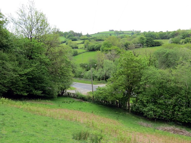
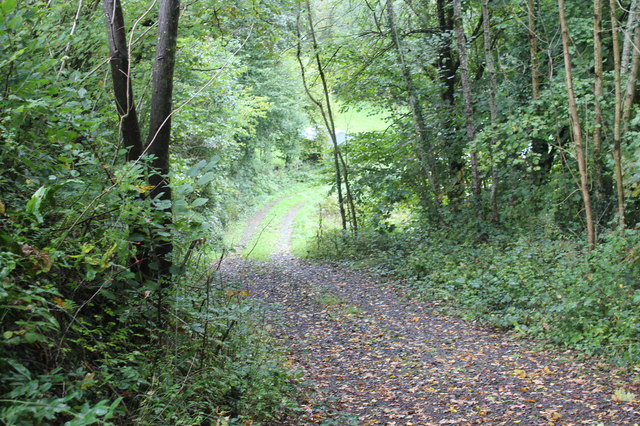
Coed Cefnbenydd is a picturesque woodland located in the county of Carmarthenshire, Wales. Situated in the western part of the country, this woodland covers an area of approximately 100 hectares and is known for its scenic beauty and diverse flora and fauna.
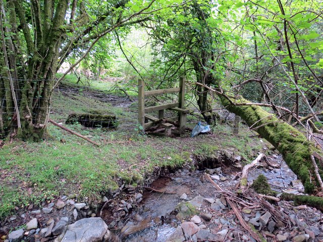
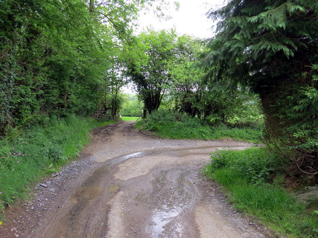
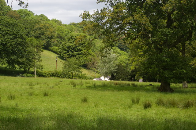
The woodland is characterized by its ancient oak trees, which provide a majestic canopy and create a serene atmosphere. The forest floor is covered in a rich carpet of bluebells and wildflowers during the spring months, adding bursts of vibrant colors to the landscape. Coed Cefnbenydd also features a network of walking trails, allowing visitors to explore the woodland and discover its hidden treasures.
The woodland is home to a variety of wildlife, including red squirrels, badgers, and a wide range of bird species. Birdwatchers will be delighted by the chance to spot species such as woodpeckers, owls, and even the occasional buzzard soaring above the treetops.
Visitors to Coed Cefnbenydd can enjoy a peaceful retreat from the hustle and bustle of daily life. The woodland offers a tranquil setting for relaxation, picnicking, or simply strolling through nature. It is also a popular spot for photographers and nature enthusiasts, who can capture the beauty of the changing seasons and the unique biodiversity of the area.
Overall, Coed Cefnbenydd is a hidden gem in the heart of Carmarthenshire, offering a haven for nature lovers and a chance to connect with the natural world.
If you have any feedback on the listing, please let us know in the comments section below.
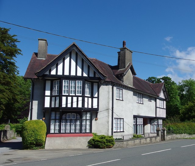
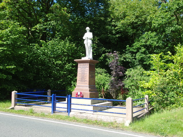
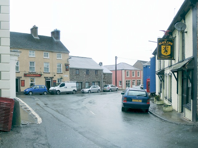
Coed Cefnbenydd Images
Images are sourced within 2km of 51.974338/-3.8738818 or Grid Reference SN7132. Thanks to Geograph Open Source API. All images are credited.
Coed Cefnbenydd is located at Grid Ref: SN7132 (Lat: 51.974338, Lng: -3.8738818)
Unitary Authority: Carmarthenshire
Police Authority: Dyfed Powys
What 3 Words
///broadens.sympathy.motivates. Near Llansadwrn, Carmarthenshire
Nearby Locations
Related Wikis

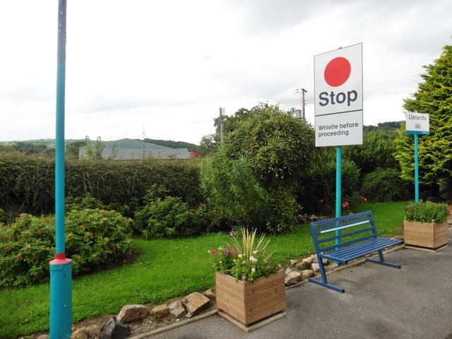
Llanwrda
Llanwrda ([ɬanʊrˈda] ) is a village and community in Carmarthenshire, Wales, 4 miles (6.4 km) southwest of Llandovery. It lies on the River Towy. The population...

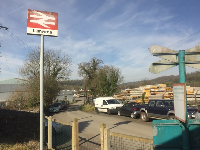
Llanwrda railway station
Llanwrda railway station serves the village of Llanwrda near Llandovery, Carmarthenshire. Opened by the Vale of Towy Railway in 1858, the station is on...

Llansadwrn
Llansadwrn (; Welsh: [ɬanˈsadʊn]; ) is a small village and community in Carmarthenshire, Wales. It is located in the countryside above the valley of the...

Afon Brân
The Afon Brân is a tributary of the River Towy (or Welsh Afon Tywi) in mid Wales. Its headwaters rise in Irfon Forest in the northeastern corner of Carmarthenshire...

Llangadog railway station
Llangadog railway station serves the village of Llangadog near Llandeilo, Carmarthenshire. The station is on the Heart of Wales Line 36+1⁄2 miles (59 km...
Llangadog
Llangadog () is a village and community in Carmarthenshire, Wales, which also includes the villages of Bethlehem and Capel Gwynfe. A notable local landscape...

River Sawdde
The Afon Sawdde is a river in the county of Carmarthenshire, Wales. For most of its course it flows through the Brecon Beacons National Park and Fforest...

Llandovery railway station
Llandovery railway station serves the market town of Llandovery, Carmarthenshire, Wales. The station is on the Heart of Wales Line 42 miles (68 km) north...
Nearby Amenities
Located within 500m of 51.974338,-3.8738818Have you been to Coed Cefnbenydd?
Leave your review of Coed Cefnbenydd below (or comments, questions and feedback).