Burrough Green

Settlement in Cambridgeshire East Cambridgeshire

England

Burrough Green

Bluebells in Basefield Wood
Bluebells in Basefield Wood Credit: Hugh Venables

Burrough Green is a picturesque village located in the county of Cambridgeshire, England. Situated approximately 12 miles east of Cambridge, the village is surrounded by lush green fields, quaint cottages, and a tranquil atmosphere.

The village is home to a small but close-knit community, with a population of around 400 residents. It has a rich history, with evidence of habitation dating back to Roman times. The village's name is derived from the Old English word "burh," meaning fortified place, and "green," referring to the open spaces surrounding the settlement.

One of the village's notable landmarks is the All Saints' Church, a beautiful medieval building that dates back to the 13th century. The church features stunning stained glass windows and a well-preserved interior, making it a popular attraction for visitors interested in historical architecture.

Despite its small size, Burrough Green boasts a vibrant community spirit, with various social events and activities taking place throughout the year. The village hall serves as a central hub for these gatherings, hosting everything from art exhibitions to yoga classes. The local pub, The Bull Inn, is a popular meeting spot for residents and visitors alike, offering a cozy and friendly atmosphere.

The surrounding countryside provides ample opportunities for outdoor activities, such as walking, cycling, and horse riding. The village is also located close to Wicken Fen Nature Reserve, a vast wetland area known for its diverse wildlife and scenic beauty.

In summary, Burrough Green is a charming village in Cambridgeshire that offers a peaceful and idyllic setting, rich history, and a strong sense of community.

If you have any feedback on the listing, please let us know in the comments section below.

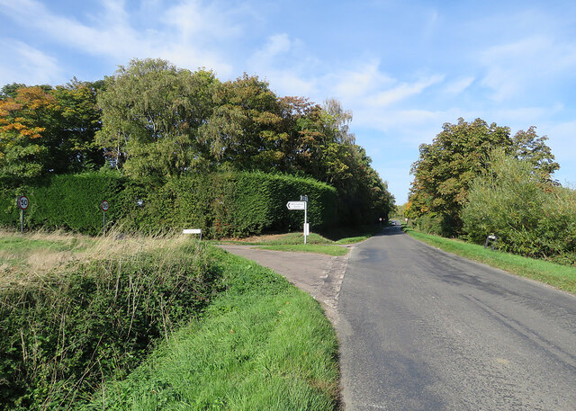
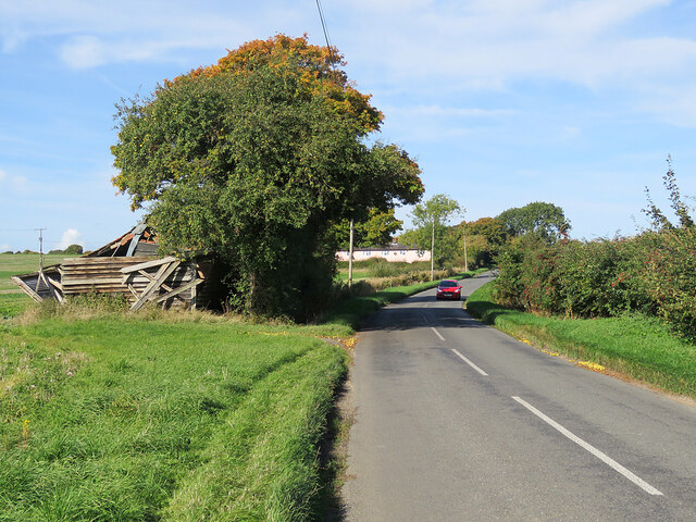
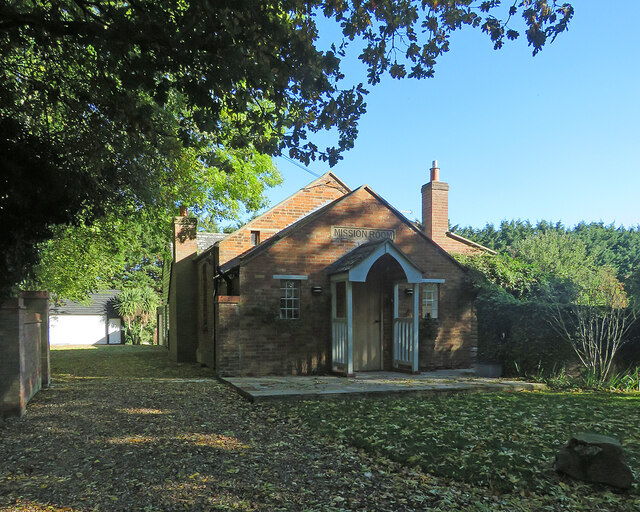
Burrough Green Images

Images are sourced within 2km of 52.173304/0.394564 or Grid Reference TL6355. Thanks to Geograph Open Source API. All images are credited.

Bluebells in Basefield Wood
Field by Basefield Wood
Willingham Green Road This is a hamlet in East Cambridgeshire. The road leads to Carlton and on into Suffolk.
Willingham Green Road
This is a hamlet in East Cambridgeshire. The road leads to Carlton and on into Suffolk.
The start of a footpath at Willingham Green This is part of a complex network of footpaths linking Carlton, Brinkley and Weston Green.
The start of a footpath at Willingham Green
This is part of a complex network of footpaths linking Carlton, Brinkley and Weston Green.
Turn left for Willingham Green A turn off the road from Carlton to Brinkley (ahead), photographed on a sunny morning in early autumn.
Turn left for Willingham Green
A turn off the road from Carlton to Brinkley (ahead), photographed on a sunny morning in early autumn.
Collapsed shed, fallen apples, pink cottages and a red car Near Raynor's Bridge on the undulating road from Carlton to Brinkley (ahead). The pink row is Little Low Cottages.

Keith Edkins was here in 2018: <a href="https://www.geograph.org.uk/photo/5922622">TL6353 : Old shed at Raynor Bridge</a>.
Collapsed shed, fallen apples, pink cottages and a red car
Near Raynor's Bridge on the undulating road from Carlton to Brinkley (ahead). The pink row is Little Low Cottages. Keith Edkins was here in 2018: TL6353 : Old shed at Raynor Bridge.
Carlton: a cottage on Brinkley Road In the valley of the River Stour, which rises on nearby Wratting Common. The original parts of the Grade II listed cottage were built in the 18th century.
Carlton: a cottage on Brinkley Road
In the valley of the River Stour, which rises on nearby Wratting Common. The original parts of the Grade II listed cottage were built in the 18th century.
Carlton Hill: across the Stour Valley John Constable's Stour is a Suffolk river, but it rises not far from here, at Wratting Common near Weston Colville in the hills of East Cambridgeshire and reaches the sea at Manningtree in Essex. <a href="https://www.geograph.org.uk/photo/7307887">TL6453 : Carlton: a cottage on Brinkley Road</a> is a closer look at the house in the centre middle distance.
Carlton Hill: across the Stour Valley
John Constable's Stour is a Suffolk river, but it rises not far from here, at Wratting Common near Weston Colville in the hills of East Cambridgeshire and reaches the sea at Manningtree in Essex. TL6453 : Carlton: a cottage on Brinkley Road is a closer look at the house in the centre middle distance.
Westley Waterless: building work A new house on Main Road
Westley Waterless: building work
A new house on Main Road
Converted water tower near Burrough Green A house on the B1061 between Dullingham and Brinkley.
Converted water tower near Burrough Green
A house on the B1061 between Dullingham and Brinkley.
Between Dullingham Ley and Dullingham A cloudless October morning.
Between Dullingham Ley and Dullingham
A cloudless October morning.
Dullingham Ley: former Mission Room Now a house, in a hamlet half way down a dead-end lane serving a number of stud farms.
Dullingham Ley: former Mission Room
Now a house, in a hamlet half way down a dead-end lane serving a number of stud farms.
Houses at Dullingham Leys A hamlet on a dead-end lane which serves a number of stud farms.
Houses at Dullingham Leys
A hamlet on a dead-end lane which serves a number of stud farms.
Barns near Dullingham Ley Stud This dead-end lane in East Cambridgeshire, south of Newmarket, serves a number of stud farms.
Barns near Dullingham Ley Stud
This dead-end lane in East Cambridgeshire, south of Newmarket, serves a number of stud farms.
Between Widgham Farm and Dullingham Leys This dead-end lane, largely tree-lined, serves isolated houses and stud farms in the horse-racing country south of Newmarket.
Between Widgham Farm and Dullingham Leys
This dead-end lane, largely tree-lined, serves isolated houses and stud farms in the horse-racing country south of Newmarket.
Brook Farm This dead-end lane, largely tree-lined, serves isolated houses and stud farms in the horse-racing country south of Newmarket.
Brook Farm
This dead-end lane, largely tree-lined, serves isolated houses and stud farms in the horse-racing country south of Newmarket.
Burrough End: the B1052 near the Westley Waterless turn <a href="https://www.geograph.org.uk/photo/3276486">TL6255 : Nearing Burrough End</a> is a winter view from the other side of the road, taken nearly ten years before.
Burrough End: the B1052 near the Westley Waterless turn
TL6255 : Nearing Burrough End is a winter view from the other side of the road, taken nearly ten years before.
On the B1052 Dullingham Road Nearing Fern Cottage, between Brinkley and Burrough End, on a sparkling October morning.
On the B1052 Dullingham Road
Nearing Fern Cottage, between Brinkley and Burrough End, on a sparkling October morning.
Show me another place!

Burrough Green is located at Grid Ref: TL6355 (Lat: 52.173304, Lng: 0.394564)

Administrative County: Cambridgeshire

District: East Cambridgeshire

Police Authority: Cambridgeshire

What 3 Words

///pouch.populate.mornings. Near Balsham, Cambridgeshire

Nearby Locations

Burrough Green

Related Wikis

Burrough Green

Burrough Green is a village and parish in Cambridgeshire, England. The population of the village at the 2011 census was 378. The soil is various; subsoil...

Park Wood, Cambridgeshire

Park Wood is an 8.1-hectare (20-acre) biological Site of Special Scientific Interest east of Brinkley in Cambridgeshire. This is woodland of the wet ash/maple...

Brinkley, Cambridgeshire

Brinkley is a small village in Cambridgeshire, England. It is situated about 15 miles east of Cambridge and 5 miles south of Newmarket, the horse racing...

Westley Waterless

Westley Waterless is a small village and civil parish in East Cambridgeshire, England, 5 miles south west of Newmarket. == History == The parish of Westley...

Nearby Amenities

Located within 500m of 52.173304,0.394564
Burrough Green
Is In: Cambridgeshire, England, UK
Place: village
Wikidata: Q2694821
Lat/Long: 52.1737431/0.3939271
Pub
The Bull
Lat/Long: 52.1745664/0.3942624
Sport: cricket
Lat/Long: 52.1728268/0.3942147
Wyck Farm
Landuse: farm
Note Retag: CS #48756035
Lat/Long: 52.1719156/0.3977149
Bus Stop
Primary School
Naptan AtcoCode: 0500EBURR003
Naptan Bearing: NW
Naptan CommonName: Primary School
Naptan Indicator: o/s
Naptan Landmark: Bradley Road
Naptan NaptanCode: cmbdgjpg
Naptan ShortCommonName: Primary School
Naptan Street: Bradley Road
Naptan Verified: no
Source: naptan_import
Lat/Long: 52.17432/0.3937199
Bus Stop
Primary School
Naptan AtcoCode: 0500EBURR004
Naptan Bearing: SE
Naptan BusStopType: CUS
Naptan CommonName: Primary School
Naptan Indicator: opp
Naptan Landmark: Bradley Road
Naptan NaptanCode: cmbdgjpj
Naptan ShortCommonName: Primary School
Naptan Street: Bradley Road
Naptan Verified: no
Source: naptan_import
Lat/Long: 52.1743834/0.3937592
Bus Stop
Church Lane
Naptan AtcoCode: 0500EBURR005
Naptan Bearing: SE
Naptan BusStopType: CUS
Naptan CommonName: Church Lane
Naptan Indicator: opp
Naptan Landmark: Church Lane
Naptan NaptanCode: cmbdgjpm
Naptan ShortCommonName: Church Lane
Naptan Street: B1061
Naptan Verified: no
Source: naptan_import
Lat/Long: 52.1735607/0.394417
Bus Stop
Church Lane
Naptan AtcoCode: 0500EBURR006
Naptan Bearing: NW
Naptan BusStopType: CUS
Naptan CommonName: Church Lane
Naptan Indicator: near
Naptan Landmark: Church Lane
Naptan NaptanCode: cmbdgjpt
Naptan ShortCommonName: Church Lane
Naptan Street: B1061
Naptan Verified: no
Source: naptan_import
Lat/Long: 52.1735268/0.3943128
Power: pole
Lat/Long: 52.1716025/0.3899742
Power: pole
Lat/Long: 52.1725419/0.3924874
Power: pole
Lat/Long: 52.1714429/0.3887216
Power: pole
Lat/Long: 52.1722359/0.3916774
Addr Housenumber: 15
Lat/Long: 52.1721927/0.3933907
Addr Housenumber: 23
Lat/Long: 52.1719513/0.3932892
Post Box
Collection Times: Mo-Fr 16:00; Sa 09:45
Operator: Royal Mail
Post Box Type: wall
Ref: CB8 114
Royal Cypher: GVIR
Royal Cypher Wikidata: Q33102169
Source: survey
Lat/Long: 52.1736726/0.3946327
Public Bookcase
Booth: K6
Colour: red
Disused Amenity: telephone
Man Made: telephone_box
Public Bookcase Type: phone_box
Lat/Long: 52.1739036/0.3941049
Man Made: village_sign
Lat/Long: 52.1740109/0.3940593
The data included in this document is from www.openstreetmap.org. The data is made available under ODbL.

Have you been to Burrough Green?

Leave your review of Burrough Green below (or comments, questions and feedback).