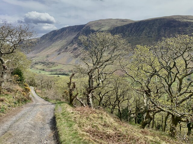
Coed Maes-y-pandy
Wood, Forest in Merionethshire
Wales
Coed Maes-y-pandy

The requested URL returned error: 429 Too Many Requests
If you have any feedback on the listing, please let us know in the comments section below.
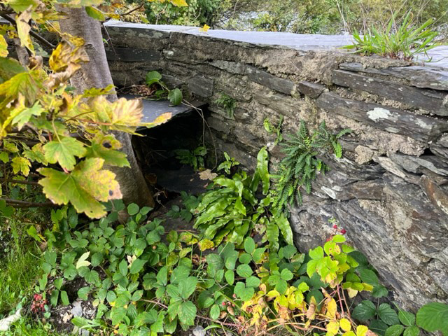
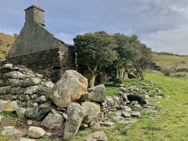
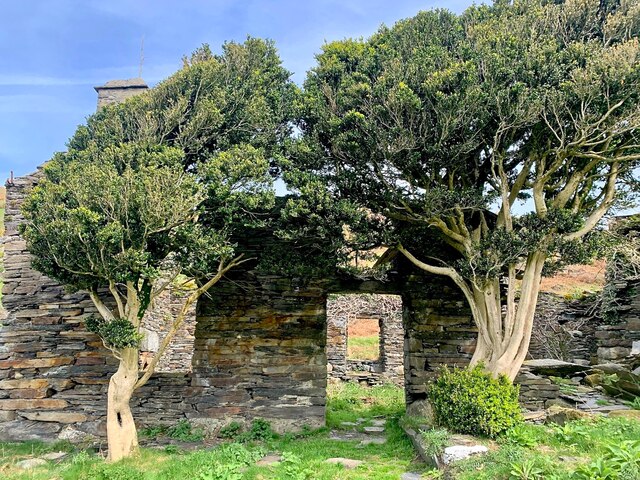
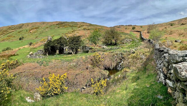
Coed Maes-y-pandy Images
Images are sourced within 2km of 52.663187/-3.9239082 or Grid Reference SH6909. Thanks to Geograph Open Source API. All images are credited.


Coed Maes-y-pandy is located at Grid Ref: SH6909 (Lat: 52.663187, Lng: -3.9239082)
Unitary Authority: Gwynedd
Police Authority: North Wales
What 3 Words
///gown.message.pulps. Near Corris, Gwynedd
Nearby Locations
Related Wikis
Tal-y-llyn, Gwynedd
Tal-y-llyn, or Talyllyn, is a small hamlet and former parish in the community of Llanfihangel-y-Pennant in Gwynedd, Wales, situated at the end of Tal-y...

Graig Goch
Graig Goch is a 586m high hill in the Gwynedd area in Wales and lying within Snowdonia National Park. The hill falls within the communities of Llanfihangel...
Ceiswyn Formation
The Ceiswyn Formation (also known as the Ceiswyn Beds) is an Ordovician lithostratigraphic group (a sequence of rock strata) in Mid Wales. The rock of...

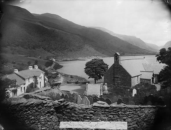
Tal-y-llyn Lake
Tal-y-llyn Lake, (Welsh: Llyn Mwyngil), also known as Talyllyn Lake and Llyn Myngul, is a large glacial ribbon lake in Gwynedd, North Wales. It is formed...
Have you been to Coed Maes-y-pandy?
Leave your review of Coed Maes-y-pandy below (or comments, questions and feedback).