Allt Tyn-y-graig

Wood, Forest in Cardiganshire

Wales

Allt Tyn-y-graig

Dyffryn Melindwr Viewed from Bwlch Nant-yr-arian Visitor Centre.
Dyffryn Melindwr Credit: John Lucas

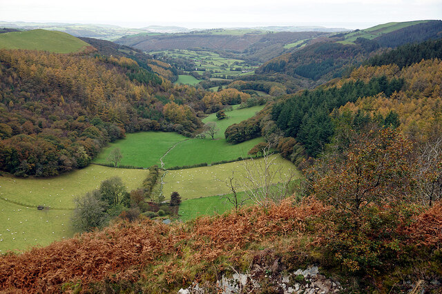
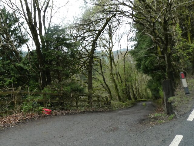
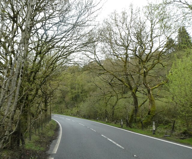
Allt Tyn-y-graig is a picturesque wood located in the county of Cardiganshire, Wales. Covering an area of approximately 50 acres, this forest is known for its breathtaking natural beauty and diverse range of flora and fauna.

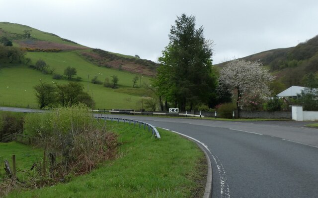
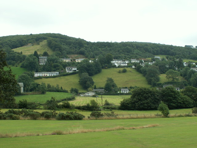
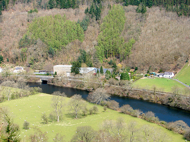
The wood is situated on the slopes of a hill, offering stunning views of the surrounding countryside. It is characterized by a mixture of deciduous and coniferous trees, including oak, beech, pine, and birch. The dense canopy provides a haven for numerous bird species, such as woodpeckers, owls, and songbirds, making it a popular destination for birdwatchers.

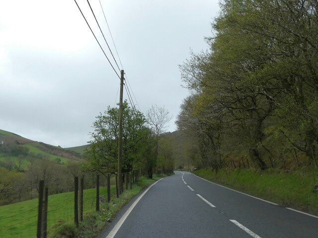
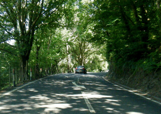
Walking through Allt Tyn-y-graig, visitors can explore a network of well-maintained footpaths that meander through the forest. The trails lead to various points of interest, including a tranquil stream and a small waterfall, adding to the charm of this natural setting. The wood is also home to a diverse range of plant life, with wildflowers, ferns, and mosses carpeting the forest floor.

Allt Tyn-y-graig is not only a sanctuary for wildlife and plant species but also a recreational area for outdoor enthusiasts. The wood is a popular spot for hiking, picnicking, and nature photography. Visitors can also engage in activities such as orienteering and geocaching, adding a sense of adventure to their visit.

Overall, Allt Tyn-y-graig in Cardiganshire is a hidden gem for nature lovers, offering a peaceful retreat where one can immerse themselves in the beauty of the Welsh countryside.

If you have any feedback on the listing, please let us know in the comments section below.

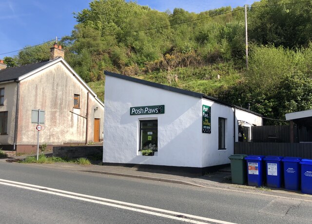
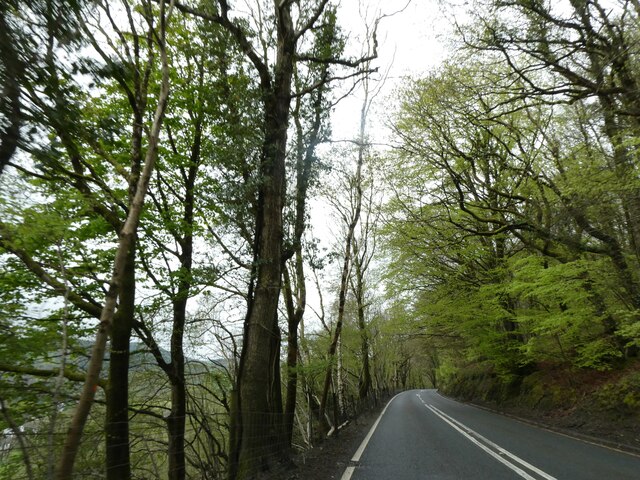
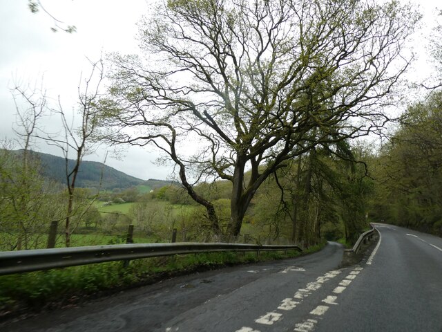
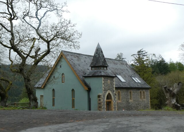
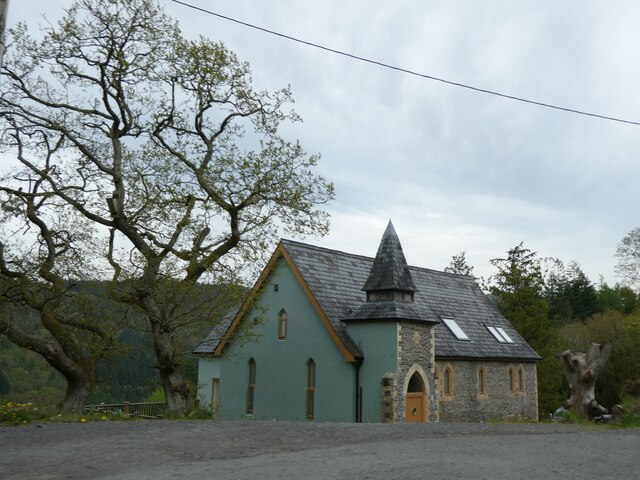
Allt Tyn-y-graig Images

Images are sourced within 2km of 52.419757/-3.9152314 or Grid Reference SN6981. Thanks to Geograph Open Source API. All images are credited.

Dyffryn Melindwr Viewed from Bwlch Nant-yr-arian Visitor Centre.
Dyffryn Melindwr
Viewed from Bwlch Nant-yr-arian Visitor Centre.
A cyclist at Nant-yr-arian There is a multitude of paths and tracks in this area for walkers and cyclists.
A cyclist at Nant-yr-arian
There is a multitude of paths and tracks in this area for walkers and cyclists.
A44 skirting the valley above Nant Brwyno The A44 is a major road in the United Kingdom that runs for 155 miles from Oxford in southern England to Aberystwyth in west Wales.
<span class="nowrap"><a title="http://www.sabre-roads.org.uk/wiki/index.php?title=A44" rel="nofollow ugc noopener" href="http://www.sabre-roads.org.uk/wiki/index.php?title=A44">Link</a><img style="margin-left:2px;" alt="External link" title="External link - shift click to open in new window" src="https://s1.geograph.org.uk/img/external.png" width="10" height="10"/></span>  SABRE
<span class="nowrap"><a title="https://en.wikipedia.org/wiki/A44_road" rel="nofollow ugc noopener" href="https://en.wikipedia.org/wiki/A44_road">Link</a><img style="margin-left:2px;" alt="External link" title="External link - shift click to open in new window" src="https://s1.geograph.org.uk/img/external.png" width="10" height="10"/></span>  Wikipedia
A44 skirting the valley above Nant Brwyno
The A44 is a major road in the United Kingdom that runs for 155 miles from Oxford in southern England to Aberystwyth in west Wales. LinkExternal link SABRE LinkExternal link Wikipedia
A44 bend for Cwmbrwyno Bridge To avoid steep slopes, the A44 follows a contour round the valley and will double back after the curve
A44 bend for Cwmbrwyno Bridge
To avoid steep slopes, the A44 follows a contour round the valley and will double back after the curve
A44 west of Cwmbrwyno
A44 following the curve of the hill, Bryn Bugail The A44 is a major road in the United Kingdom that runs for 155 miles from Oxford in southern England to Aberystwyth in west Wales.
<span class="nowrap"><a title="http://www.sabre-roads.org.uk/wiki/index.php?title=A44" rel="nofollow ugc noopener" href="http://www.sabre-roads.org.uk/wiki/index.php?title=A44">Link</a><img style="margin-left:2px;" alt="External link" title="External link - shift click to open in new window" src="https://s1.geograph.org.uk/img/external.png" width="10" height="10"/></span>  SABRE
<span class="nowrap"><a title="https://en.wikipedia.org/wiki/A44_road" rel="nofollow ugc noopener" href="https://en.wikipedia.org/wiki/A44_road">Link</a><img style="margin-left:2px;" alt="External link" title="External link - shift click to open in new window" src="https://s1.geograph.org.uk/img/external.png" width="10" height="10"/></span>  Wikipedia
A44 following the curve of the hill, Bryn Bugail
The A44 is a major road in the United Kingdom that runs for 155 miles from Oxford in southern England to Aberystwyth in west Wales. LinkExternal link SABRE LinkExternal link Wikipedia
Posh Paws Dog grooming venture at Goginan
Posh Paws
Dog grooming venture at Goginan
A44 in woodland west of Goginan The A44 is a major road in the United Kingdom that runs for 155 miles from Oxford in southern England to Aberystwyth in west Wales.
<span class="nowrap"><a title="http://www.sabre-roads.org.uk/wiki/index.php?title=A44" rel="nofollow ugc noopener" href="http://www.sabre-roads.org.uk/wiki/index.php?title=A44">Link</a><img style="margin-left:2px;" alt="External link" title="External link - shift click to open in new window" src="https://s1.geograph.org.uk/img/external.png" width="10" height="10"/></span>  SABRE
<span class="nowrap"><a title="https://en.wikipedia.org/wiki/A44_road" rel="nofollow ugc noopener" href="https://en.wikipedia.org/wiki/A44_road">Link</a><img style="margin-left:2px;" alt="External link" title="External link - shift click to open in new window" src="https://s1.geograph.org.uk/img/external.png" width="10" height="10"/></span>  Wikipedia
A44 in woodland west of Goginan
The A44 is a major road in the United Kingdom that runs for 155 miles from Oxford in southern England to Aberystwyth in west Wales. LinkExternal link SABRE LinkExternal link Wikipedia
This way to Penbryn and the valley; side road from A44 The A44 is a major road in the United Kingdom that runs for 155 miles from Oxford in southern England to Aberystwyth in west Wales.
<span class="nowrap"><a title="http://www.sabre-roads.org.uk/wiki/index.php?title=A44" rel="nofollow ugc noopener" href="http://www.sabre-roads.org.uk/wiki/index.php?title=A44">Link</a><img style="margin-left:2px;" alt="External link" title="External link - shift click to open in new window" src="https://s1.geograph.org.uk/img/external.png" width="10" height="10"/></span>  SABRE
<span class="nowrap"><a title="https://en.wikipedia.org/wiki/A44_road" rel="nofollow ugc noopener" href="https://en.wikipedia.org/wiki/A44_road">Link</a><img style="margin-left:2px;" alt="External link" title="External link - shift click to open in new window" src="https://s1.geograph.org.uk/img/external.png" width="10" height="10"/></span>  Wikipedia
This way to Penbryn and the valley; side road from A44
The A44 is a major road in the United Kingdom that runs for 155 miles from Oxford in southern England to Aberystwyth in west Wales. LinkExternal link SABRE LinkExternal link Wikipedia
Goginan's abandoned church by A44
Side road from A44 to Blaendyffryn The A44 is a major road in the United Kingdom that runs for 155 miles from Oxford in southern England to Aberystwyth in west Wales.
<span class="nowrap"><a title="http://www.sabre-roads.org.uk/wiki/index.php?title=A44" rel="nofollow ugc noopener" href="http://www.sabre-roads.org.uk/wiki/index.php?title=A44">Link</a><img style="margin-left:2px;" alt="External link" title="External link - shift click to open in new window" src="https://s1.geograph.org.uk/img/external.png" width="10" height="10"/></span>  SABRE
<span class="nowrap"><a title="https://en.wikipedia.org/wiki/A44_road" rel="nofollow ugc noopener" href="https://en.wikipedia.org/wiki/A44_road">Link</a><img style="margin-left:2px;" alt="External link" title="External link - shift click to open in new window" src="https://s1.geograph.org.uk/img/external.png" width="10" height="10"/></span>  Wikipedia
Side road from A44 to Blaendyffryn
The A44 is a major road in the United Kingdom that runs for 155 miles from Oxford in southern England to Aberystwyth in west Wales. LinkExternal link SABRE LinkExternal link Wikipedia
A44 in Blaendyffryn Woods The A44 is a major road in the United Kingdom that runs for 155 miles from Oxford in southern England to Aberystwyth in west Wales.
<span class="nowrap"><a title="http://www.sabre-roads.org.uk/wiki/index.php?title=A44" rel="nofollow ugc noopener" href="http://www.sabre-roads.org.uk/wiki/index.php?title=A44">Link</a><img style="margin-left:2px;" alt="External link" title="External link - shift click to open in new window" src="https://s1.geograph.org.uk/img/external.png" width="10" height="10"/></span>  SABRE
<span class="nowrap"><a title="https://en.wikipedia.org/wiki/A44_road" rel="nofollow ugc noopener" href="https://en.wikipedia.org/wiki/A44_road">Link</a><img style="margin-left:2px;" alt="External link" title="External link - shift click to open in new window" src="https://s1.geograph.org.uk/img/external.png" width="10" height="10"/></span>  Wikipedia
A44 in Blaendyffryn Woods
The A44 is a major road in the United Kingdom that runs for 155 miles from Oxford in southern England to Aberystwyth in west Wales. LinkExternal link SABRE LinkExternal link Wikipedia
A44 south of Penbryn Farm
A44 in Goginan
A44 in Goginan
Goginan chapel
Goginan chapel
Hafodau Cottage Situated high above Cwm Rheidol, though the trees restrict the view into the valley.
Hafodau Cottage
Situated high above Cwm Rheidol, though the trees restrict the view into the valley.
Track to Hafodau Cottage The only vehicle access is to the north over the ridge.
Track to Hafodau Cottage
The only vehicle access is to the north over the ridge.
Hillside above Hafodau Cottage The specks in the sky are red kites but they didn't come near enough to be photographed properly.
Hillside above Hafodau Cottage
The specks in the sky are red kites but they didn't come near enough to be photographed properly.
Show me another place!

Allt Tyn-y-graig is located at Grid Ref: SN6981 (Lat: 52.419757, Lng: -3.9152314)

Unitary Authority: Ceredigion

Police Authority: Dyfed Powys

What 3 Words

///voters.woodstove.spill. Near Bow Street, Ceredigion

Nearby Locations

Allt Tyn-y-graig

Related Wikis

Cwmerfyn

Cwmerfyn (historically Cwm-erfin or Cwmerfin) is a hamlet in the community of Trefeurig, Ceredigion, Wales, nine miles (14 km) by road east of Aberystwyth...

Dollwen

Dollwen is a hamlet in the community of Melindwr, Ceredigion, Wales, which is 72.1 miles (116 km) from Cardiff and 173.6 miles (279.4 km) from London...

Goginan

Goginan is a small village in Ceredigion, about 7 miles outside Aberystwyth on the A44 between Ponterwyd and Capel Bangor. The Afon Melindwr runs through...

Cwmbrwyno

Cwmbrwyno is a hamlet in the community of Melindwr, Ceredigion, Wales, which is 71.2 miles (114.7 km) from Cardiff and 172.3 miles (277.3 km) from London...

Cwmsymlog

Cwmsymlog is a short valley, sheltering a hamlet of the same name, in Ceredigion, in the west of Wales. Once an important mining area, but the mining slowly...

Daren

Daren is a hamlet bach in the community of Trefeurig, Ceredigion, Wales, which is 73.2 miles (117.7 km) from Cardiff and 174.5 miles (280.8 km) from London...

Rheidol Power Station

Rheidol power station is a 56 MW hydroelectric scheme near Aberystwyth, Wales. It was built between 1957 and 1962 and was officially opened on 3 July 1964...

Melindwr

Melindwr is a community in the county of Ceredigion, Wales, to the east of Aberystwyth and is 71.6 miles (115.1 km) from Cardiff and 173.8 miles (279.7...

Nearby Amenities

Located within 500m of 52.419757,-3.9152314
The data included in this document is from www.openstreetmap.org. The data is made available under ODbL.

Have you been to Allt Tyn-y-graig?

Leave your review of Allt Tyn-y-graig below (or comments, questions and feedback).