Allt Ddu

Wood, Forest in Cardiganshire

Wales

Allt Ddu

The wetlands look dry This is an area of astonishing wetland, but a low level photo just picks up hedges and sun -dried grass. The wetland is still wet.
The wetlands look dry Credit: David Medcalf

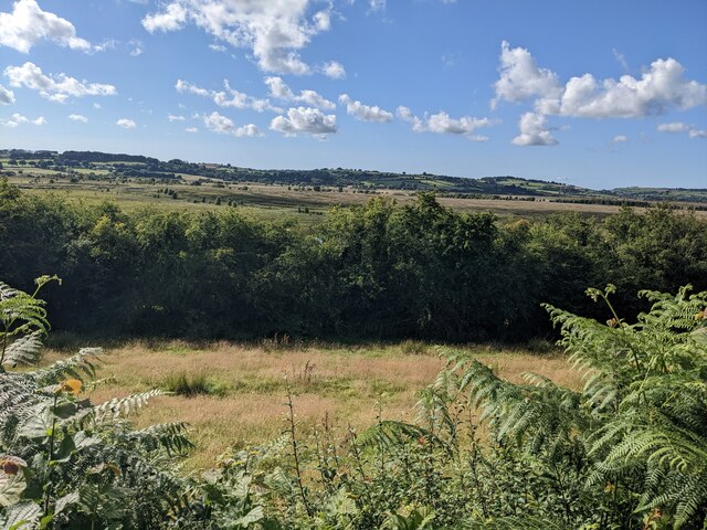
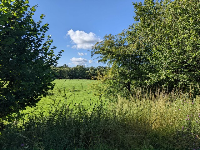
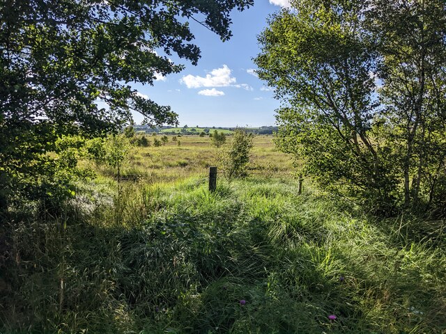
Allt Ddu is a wood located in Cardiganshire, Wales. Situated in the picturesque countryside, this forested area covers a vast expanse of land and offers a tranquil retreat for nature lovers. With an approximate area of 200 hectares, Allt Ddu boasts a diverse range of flora and fauna, making it a haven for wildlife enthusiasts and botany enthusiasts alike.

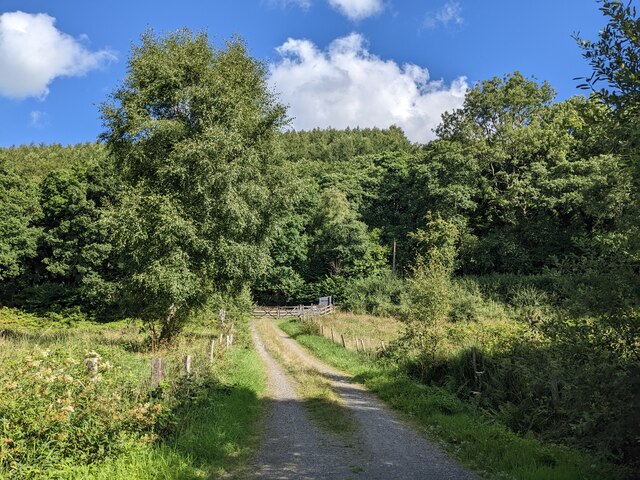
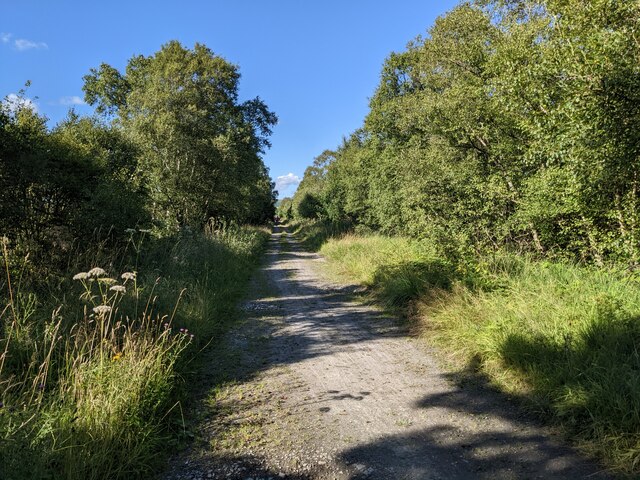
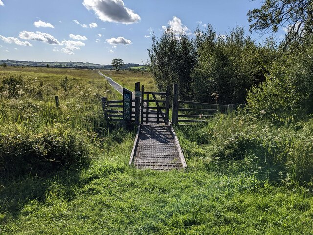
The wood is predominantly composed of native tree species, including oak, beech, and birch, which create a rich and vibrant canopy. The forest floor is adorned with a carpet of lush ferns, mosses, and wildflowers, adding to the overall beauty of the landscape. Walking trails wind through the wood, allowing visitors to explore its hidden corners and discover its hidden treasures.

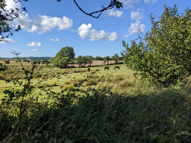
The wood is home to a variety of wildlife, including deer, foxes, badgers, and a wide array of bird species. Birdwatchers can catch a glimpse of buzzards, woodpeckers, and owls, among others. Additionally, the wood is known for its population of red kites, a majestic bird of prey that has made a successful comeback in recent years.

Allt Ddu also holds historical significance, with remnants of an ancient hill fort located within its boundaries. Archaeological surveys have uncovered evidence of Iron Age settlements, further adding to its appeal for history enthusiasts.

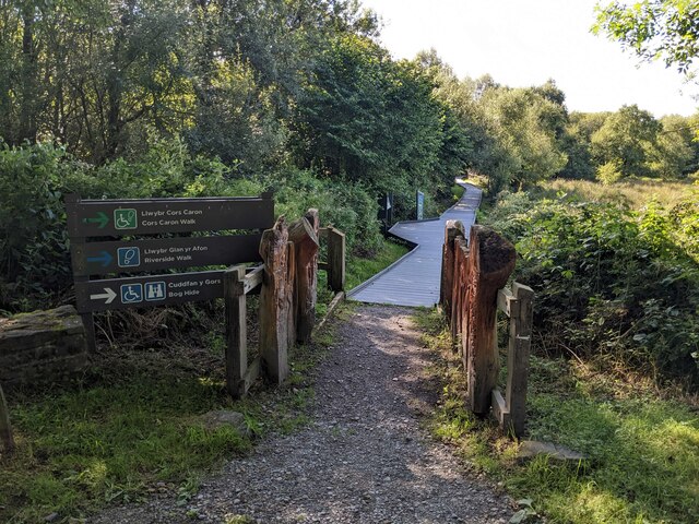
Visitors to Allt Ddu can enjoy various recreational activities, such as hiking, birdwatching, and picnicking. The wood is open to the public year-round and provides a serene and peaceful escape from the hustle and bustle of everyday life.

If you have any feedback on the listing, please let us know in the comments section below.
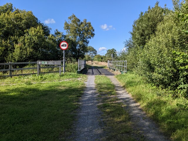
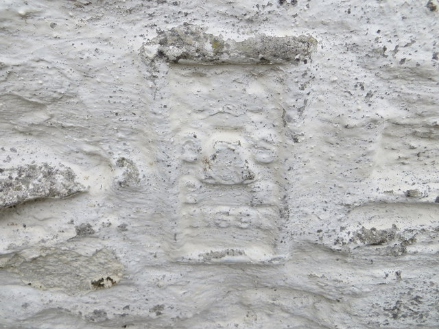
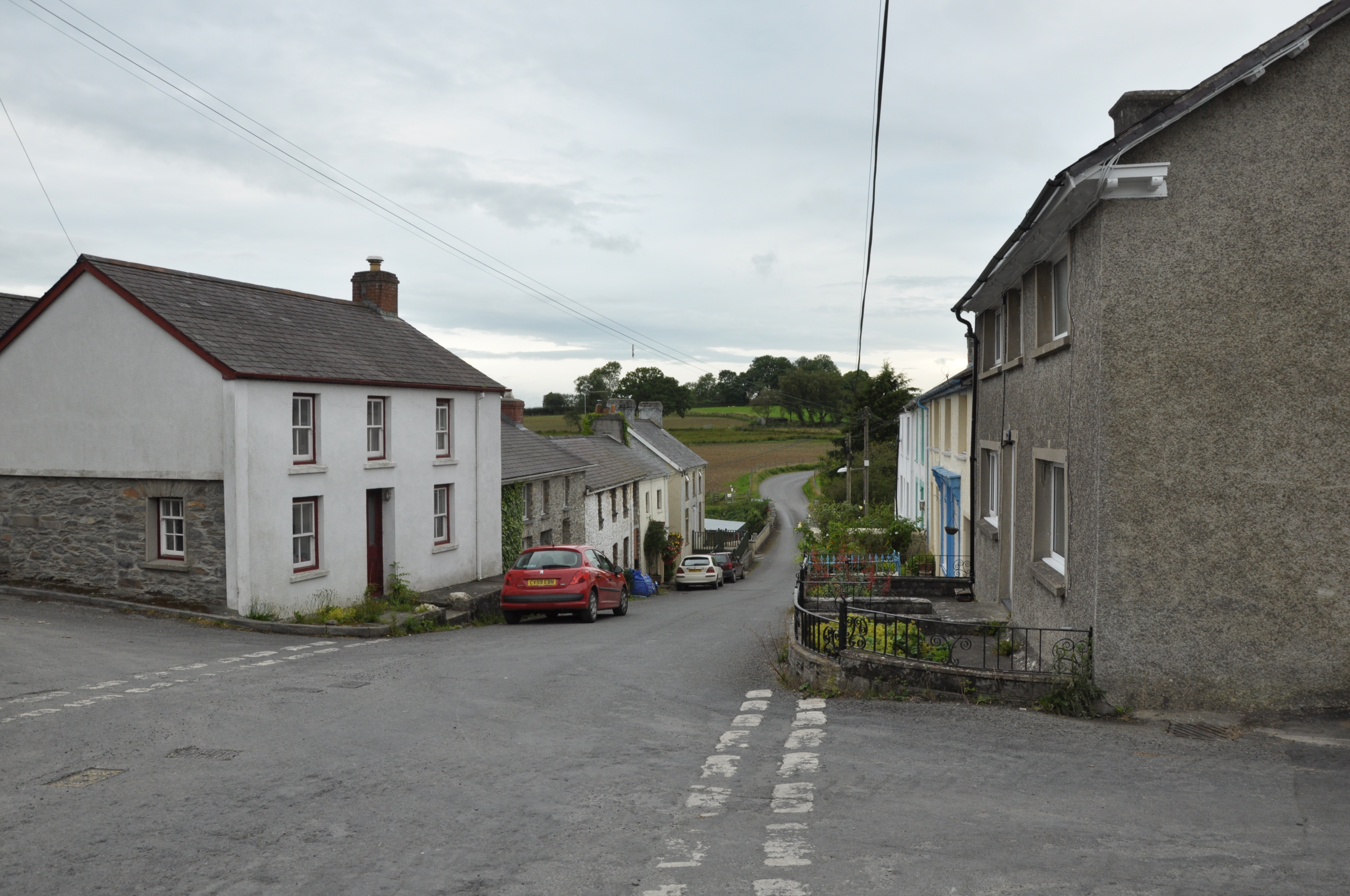
Allt Ddu Images

Images are sourced within 2km of 52.250295/-3.910251 or Grid Reference SN6963. Thanks to Geograph Open Source API. All images are credited.

The wetlands look dry This is an area of astonishing wetland, but a low level photo just picks up hedges and sun -dried grass. The wetland is still wet.
The wetlands look dry
This is an area of astonishing wetland, but a low level photo just picks up hedges and sun -dried grass. The wetland is still wet.
Access to the cycleway from the B4343 Not shown on the 1:25k OS map.
Access to the cycleway from the B4343
Not shown on the 1:25k OS map.
This way to the wetland walks
Nice grazing for the horses
The amenities block at the nature reserve car park
Lakeside picnic table
The north end of the lake The lake is not named on the map.
The north end of the lake
The lake is not named on the map.
Cycle Route 82 An excellent way to visit Tregaron.
Cycle Route 82
An excellent way to visit Tregaron.
A green tunnel over the cycleway
A cattle pasture next to the cycleway
The start of a track into the wetlands
Farm buildings at Allt-ddu
A section of the Ystwyth Trail on the old railway line
Wetland next to the cycleway
A junction with the footpath The path into the wetland is important enough to have a good sign, but is not shown on the OS maps.
A junction with the footpath
The path into the wetland is important enough to have a good sign, but is not shown on the OS maps.
Dogs and wheelchairs welcome! But not bikes and no fire lighting. The path into the wetland has a very clear sign about usage.
Dogs and wheelchairs welcome!
But not bikes and no fire lighting. The path into the wetland has a very clear sign about usage.
A weight-restricted bridge on the cycleway 16 tons is quite heavy - presumably it's a restriction on farm vehicles not bicycles!
A weight-restricted bridge on the cycleway
16 tons is quite heavy - presumably it's a restriction on farm vehicles not bicycles!
Ordnance Survey Flush Bracket 11690 This heavily over-painted bracket can be found on the wall of a building at Allt-ddu.
For more detail see : <span class="nowrap"><a title="http://www.bench-marks.org.uk/bm22581" rel="nofollow ugc noopener" href="http://www.bench-marks.org.uk/bm22581">Link</a><img style="margin-left:2px;" alt="External link" title="External link - shift click to open in new window" src="https://s1.geograph.org.uk/img/external.png" width="10" height="10"/></span>
Ordnance Survey Flush Bracket 11690
This heavily over-painted bracket can be found on the wall of a building at Allt-ddu. For more detail see : LinkExternal link
Show me another place!

Allt Ddu is located at Grid Ref: SN6963 (Lat: 52.250295, Lng: -3.910251)

Unitary Authority: Ceredigion

Police Authority: Dyfed Powys

What 3 Words

///prop.spearing.ghosts. Near Tregaron, Ceredigion

Nearby Locations

Allt Ddu

Related Wikis

Alltddu Halt railway station

Alltddu Halt railway station served the hamlet of Allt-ddu, located between Lampeter and Aberystwyth on the Carmarthen Aberystwyth Line in the Welsh county...

Cors Caron

Cors Caron is a raised bog in Ceredigion, Wales. Cors is the Welsh word for "bog". Cors Caron covers an area of approximately 349 hectares (862 acres)...

Swyddffynnon

Swyddffynnon is a village in Ceredigion, Wales, situated 3.75 miles (6 km) to the north of Tregaron, near the northern edge of Cors Caron (Tregaron Bog...

Tregaron railway station

Tregaron was a railway station in Wales on the former Carmarthen to Aberystwyth Line serving Tregaron, Ceredigion, Wales. The Manchester and Milford Railway...

Nearby Amenities

Located within 500m of 52.250295,-3.910251
The data included in this document is from www.openstreetmap.org. The data is made available under ODbL.

Have you been to Allt Ddu?

Leave your review of Allt Ddu below (or comments, questions and feedback).