Coed Mawr
Wood, Forest in Merionethshire
Wales
Coed Mawr
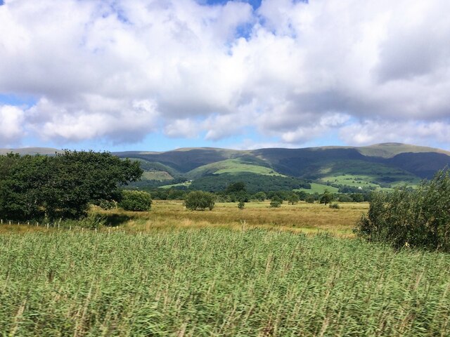
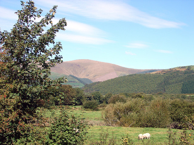
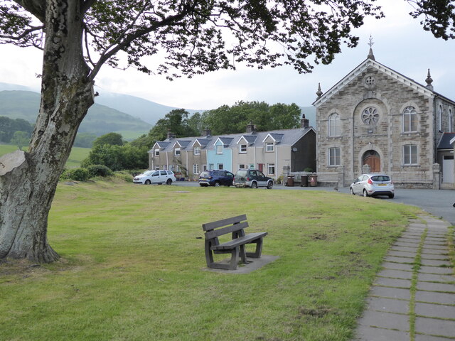
Coed Mawr, located in Merionethshire, is a picturesque woodland area known for its stunning natural beauty and rich biodiversity. The name Coed Mawr translates to "Wood, Forest" in English, which aptly describes the landscape of this region. Situated amidst the rolling hills and valleys of northern Wales, Coed Mawr offers a tranquil escape for nature enthusiasts and hikers alike.
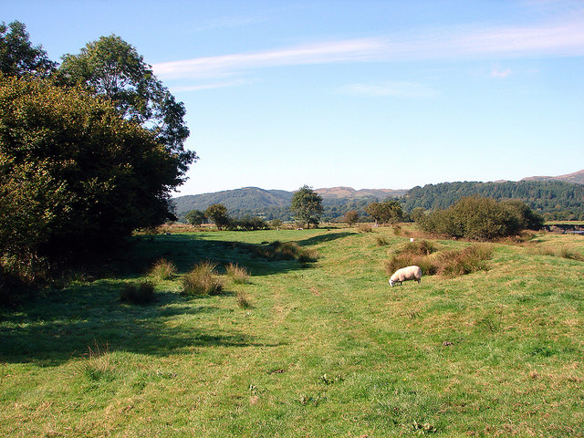
Covering a vast area, Coed Mawr boasts an assortment of tree species, including oak, beech, and birch, creating a diverse and enchanting woodland environment. The dense canopy provides a habitat for a wide range of wildlife, from small mammals like squirrels and voles to various bird species, such as woodpeckers and owls. The forest floor is adorned with an array of wildflowers, adding a splash of color to the scenery.
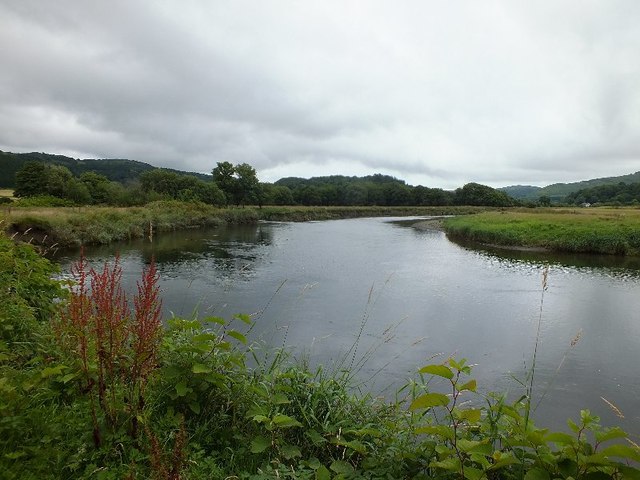
Visitors to Coed Mawr can explore the numerous walking trails that wind through the forest, offering breathtaking views of the surrounding countryside. The trails cater to all levels of hikers, from leisurely strolls to more challenging treks, ensuring there is something for everyone. Along the way, visitors may stumble upon hidden streams and cascading waterfalls, further enhancing the ethereal ambiance of the woodland.
Coed Mawr also plays a vital role in conservation efforts, as it is part of a larger network of protected areas in Wales. The woodland is carefully managed to preserve its natural beauty and protect the delicate ecosystem thriving within it.
In conclusion, Coed Mawr in Merionethshire is a captivating woodland that showcases the beauty of Wales' natural landscapes. With its diverse flora and fauna, scenic trails, and commitment to conservation, Coed Mawr offers a haven for those seeking solace in nature.
If you have any feedback on the listing, please let us know in the comments section below.
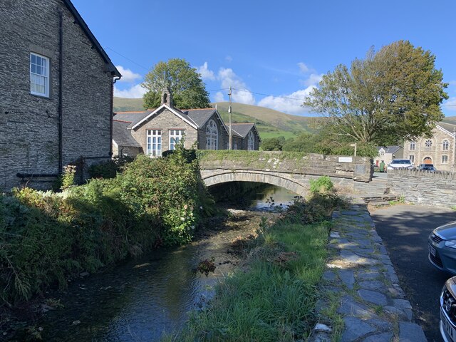
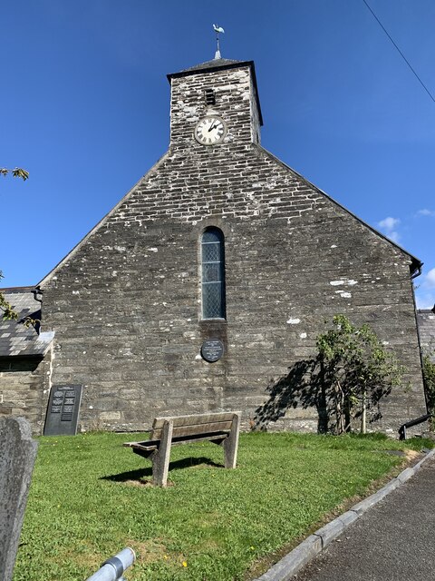
Coed Mawr Images
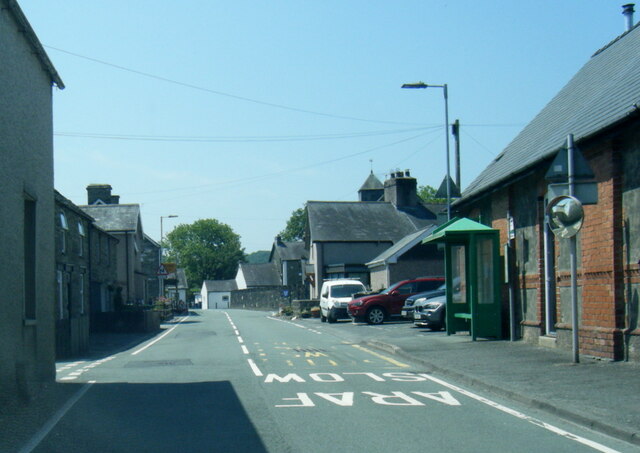
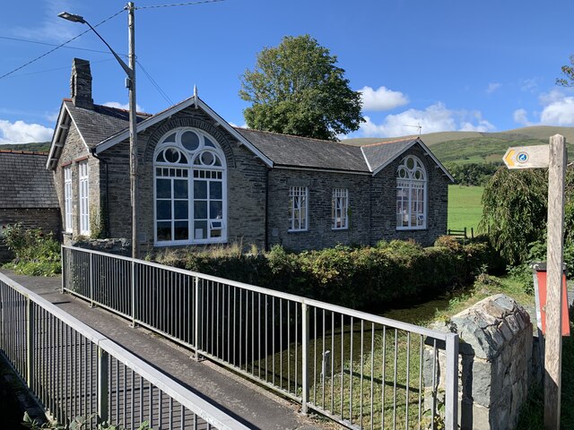
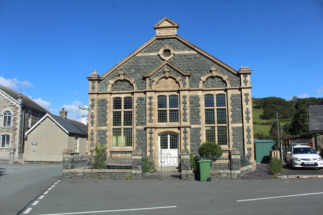
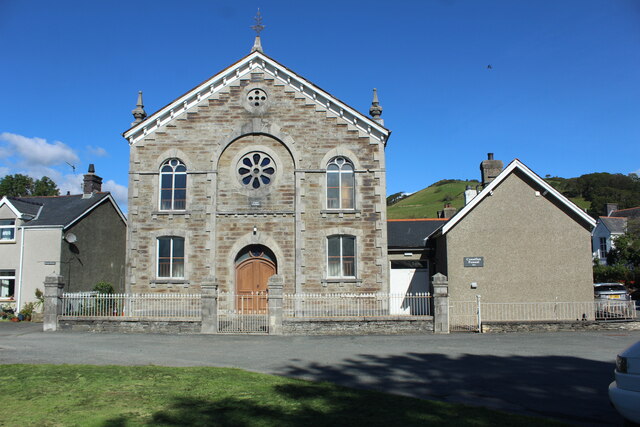
Images are sourced within 2km of 52.587201/-3.9301138 or Grid Reference SH6900. Thanks to Geograph Open Source API. All images are credited.


Coed Mawr is located at Grid Ref: SH6900 (Lat: 52.587201, Lng: -3.9301138)
Unitary Authority: Gwynedd
Police Authority: North Wales
What 3 Words
///soap.trailers.tungsten. Near Machynlleth, Powys
Related Wikis
Pennal
Pennal is a village and community on the A493 road in southern Gwynedd, Wales, on the north bank of the River Dyfi, near Machynlleth. It lies in the historic...

St Peter ad Vincula, Pennal
The parish church of St Peter ad Vincula (meaning Saint Peter in Chains) in the village of Pennal in Gwynedd, north-west Wales, is notable as the site...

Cwm Ebol quarry
The Cwm Ebol quarry (also known as Cwmebol quarry) was a slate quarry about 1 mile (1.6 km) north west of the village of Pennal in Mid Wales. It operated...

Llugwy Hall
Llugwy is the name of an old property near Pennal, a village on the A493 road in southern Gwynedd, Wales, on the north bank of the Afon Dyfi/River Dovey...
Related Videos
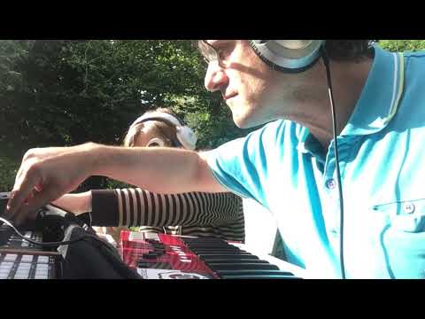
Holiday Jam with Entrapta_Iruma (Live Synth Jam)
The challenge this weekend was to involve someone else. I managed to rope in my lovely daughter to play the voice of Hatsune ...

Cold dip diary : Pennal forest - Natures bubble Bath
This is a wikid little cold dip spot, set right in the middle of Pennal forest in Southern Snowdonia Super powerful, great for a soak ...

Ospreys Return to Wales! | Nature Diaries
Hi Conservation Crew Ospreys are breeding in Wales! If you love birds of prey, raptors or wildlife in general, or you have a ...
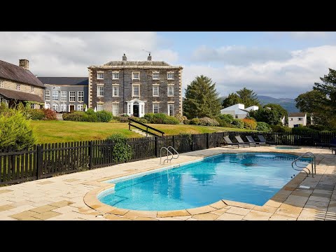
Macdonald Plas Talgarth Self-Catering Resort, Snowdonia | Macdonald Hotels & Resorts
Plas Talgarth self-catering resort is located at the southern tip of Snowdonia National Park, and 15 minutes from the pretty coastal ...
Nearby Amenities
Located within 500m of 52.587201,-3.9301138Have you been to Coed Mawr?
Leave your review of Coed Mawr below (or comments, questions and feedback).