Coed Cymerau Isaf
Wood, Forest in Merionethshire
Wales
Coed Cymerau Isaf

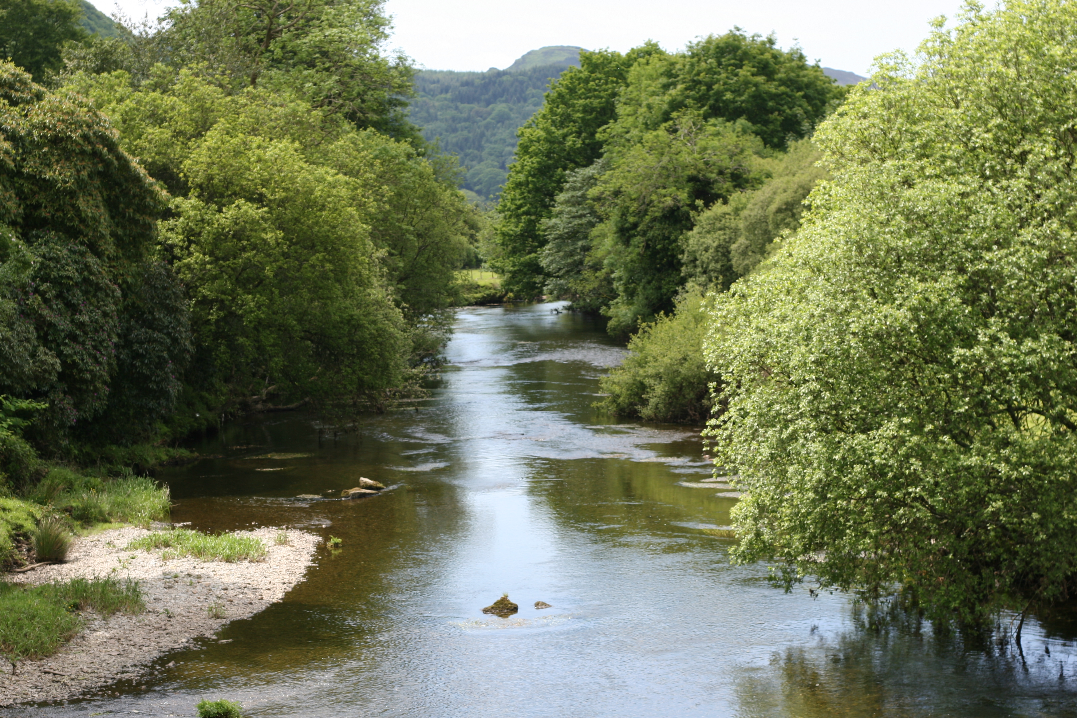
Coed Cymerau Isaf, located in Merionethshire, is a beautiful woodland area known for its natural charm and serene atmosphere. Covering a significant area, this forest is a haven for nature enthusiasts and those seeking tranquility amidst the hustle and bustle of everyday life.
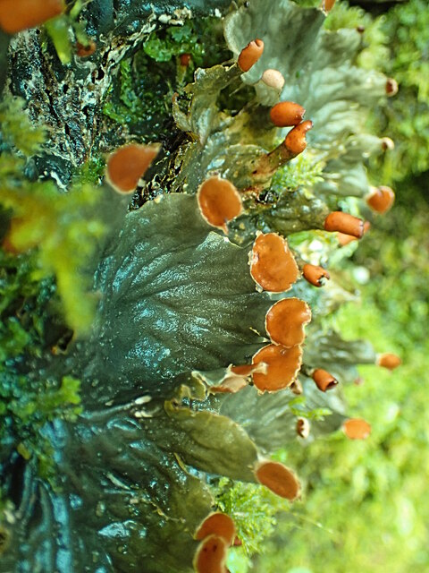
The woodland is characterized by an array of indigenous trees, including oak, beech, and birch, which create a diverse and vibrant ecosystem. The forest floor is adorned with a rich carpet of moss, ferns, and wildflowers, adding to its visual appeal. The abundance of flora and fauna in Coed Cymerau Isaf makes it an ideal spot for nature walks, birdwatching, and photography.
One of the notable features of this woodland is the presence of a small stream that meanders through the heart of the forest. The gurgling sound of water and the sight of the sunlight filtering through the leaves create a soothing ambiance for visitors. The stream also provides a habitat for various aquatic creatures, making it an interesting spot for those interested in aquatic biology.
Coed Cymerau Isaf is well-maintained and offers several walking trails of varying difficulty levels, catering to all types of visitors. These trails are marked with informative signs, providing visitors with insights into the flora, fauna, and history of the area.
With its untouched natural beauty and peaceful environment, Coed Cymerau Isaf is a must-visit destination for nature lovers and those seeking solace in the lap of nature. Whether it's a leisurely stroll or an adventurous hike, this woodland offers a perfect retreat for individuals of all ages.
If you have any feedback on the listing, please let us know in the comments section below.
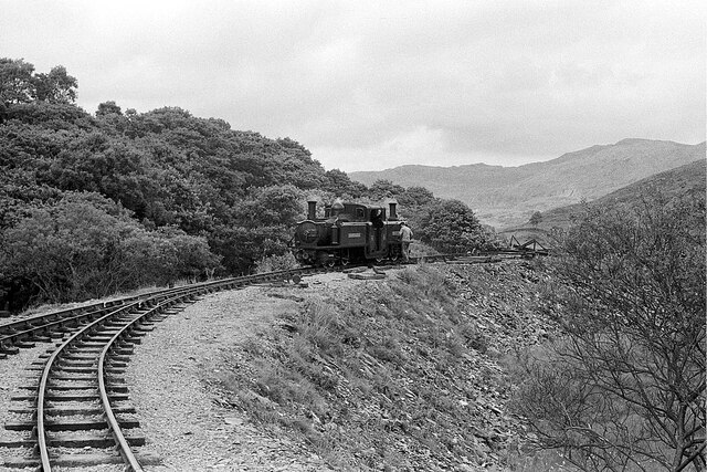
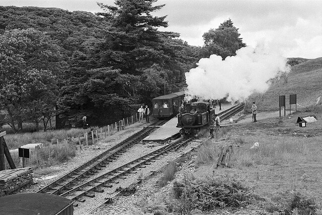
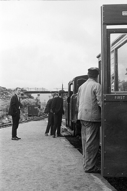
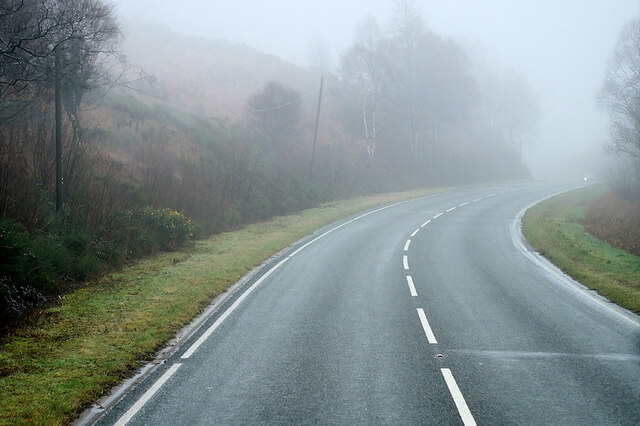
Coed Cymerau Isaf Images
Images are sourced within 2km of 52.967896/-3.9481237 or Grid Reference SH6942. Thanks to Geograph Open Source API. All images are credited.


Coed Cymerau Isaf is located at Grid Ref: SH6942 (Lat: 52.967896, Lng: -3.9481237)
Unitary Authority: Gwynedd
Police Authority: North Wales
What 3 Words
///stones.bounded.outlawing. Near Ffestiniog, Gwynedd
Nearby Locations
Related Wikis

Coed Cymerau National Nature Reserve
Coed Cymerau National Nature Reserve is a wooded area of approximately 26 hectares on the north side of the Vale of Ffestiniog through which the River...
River Dwyryd
The River Dwyryd (Welsh: Afon Dwyryd, meaning a river of two fords, is a river in Gwynedd, Wales which flows principally westwards; draining to the sea...

Llan Ffestiniog
Llan Ffestiniog, also known as Ffestiniog or simply Llan, is a village in Gwynedd (formerly in the county of Merionethshire), Wales, lying south of Blaenau...

Festiniog railway station
Festiniog railway station served the village of Llan Ffestiniog, Gwynedd, Wales. This station was one of many 19th century institutions in Wales to be...
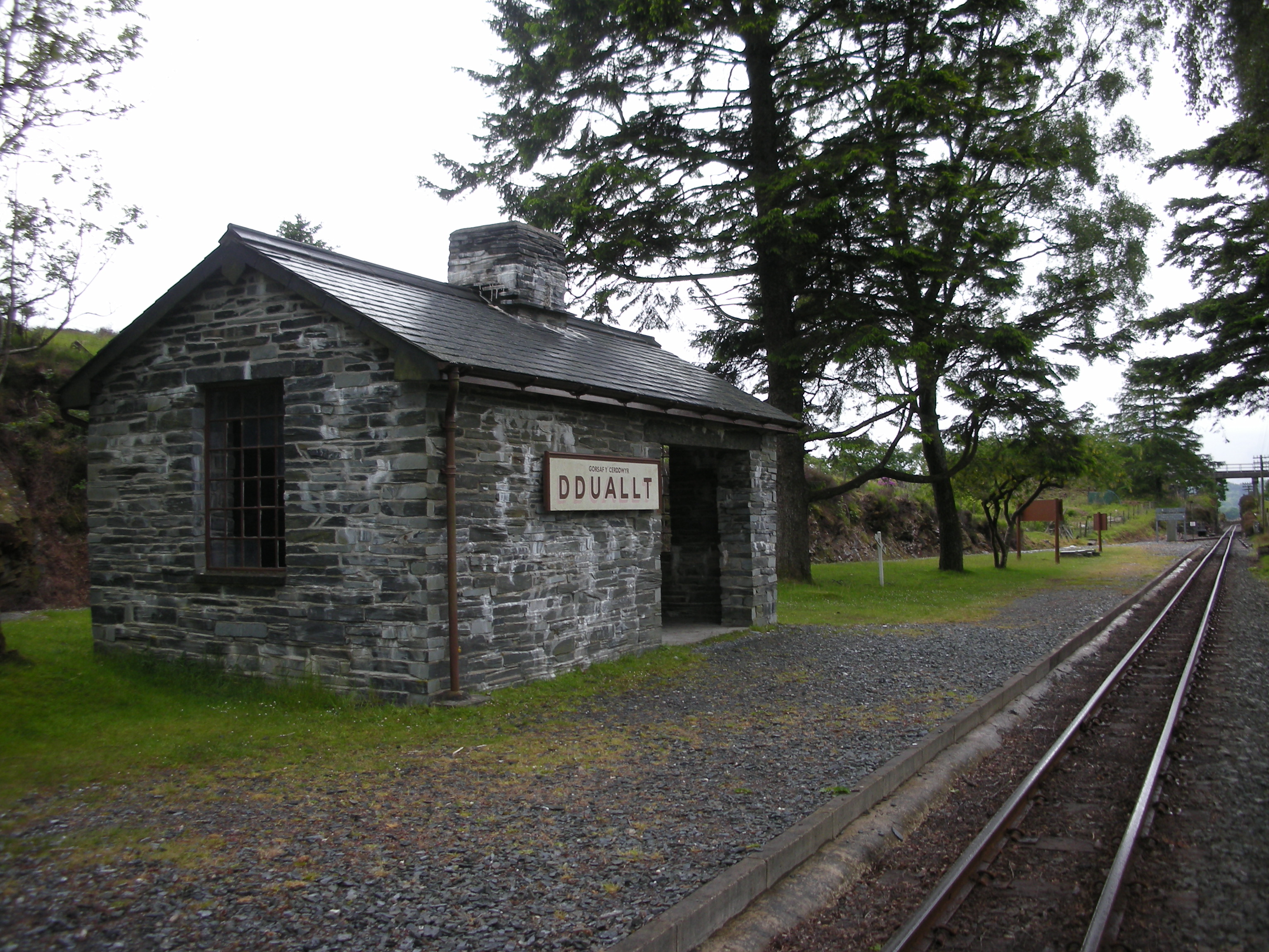
Dduallt railway station
Dduallt railway station (English: Black hill) (pronounced [ˈðɨ.aɬt]) is a passenger station on the narrow gauge Ffestiniog Railway in northwest Wales,...
Coedydd Maentwrog National Nature Reserve
Coedydd Maentwrog, on the north side of the Vale of Ffestiniog, is the largest wood in the Vale (which runs from the coast at Porthmadog inland to Blaenau...
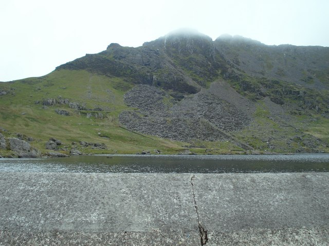
Moelwyn quarry
Moelwyn quarry is a defunct slate quarry located to the south of the village of Tanygrisiau, north Wales. Some initial prospecting was carried out in the...
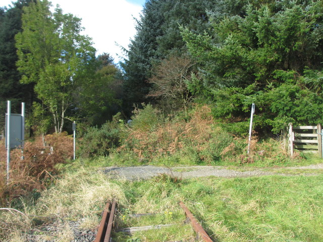
Teigl Halt railway station
Teigl Halt was a solely passenger railway station which served the rural area of Cwm Teigl, south of Blaenau Ffestiniog, Wales. == Origins == The line...
Nearby Amenities
Located within 500m of 52.967896,-3.9481237Have you been to Coed Cymerau Isaf?
Leave your review of Coed Cymerau Isaf below (or comments, questions and feedback).