Banc Coed-laith

Wood, Forest in Cardiganshire

Wales

Banc Coed-laith

A44 skirting the valley above Nant Brwyno The A44 is a major road in the United Kingdom that runs for 155 miles from Oxford in southern England to Aberystwyth in west Wales.
<span class="nowrap"><a title="http://www.sabre-roads.org.uk/wiki/index.php?title=A44" rel="nofollow ugc noopener" href="http://www.sabre-roads.org.uk/wiki/index.php?title=A44">Link</a><img style="margin-left:2px;" alt="External link" title="External link - shift click to open in new window" src="https://s1.geograph.org.uk/img/external.png" width="10" height="10"/></span>  SABRE
<span class="nowrap"><a title="https://en.wikipedia.org/wiki/A44_road" rel="nofollow ugc noopener" href="https://en.wikipedia.org/wiki/A44_road">Link</a><img style="margin-left:2px;" alt="External link" title="External link - shift click to open in new window" src="https://s1.geograph.org.uk/img/external.png" width="10" height="10"/></span>  Wikipedia
A44 skirting the valley above Nant Brwyno Credit: David Smith

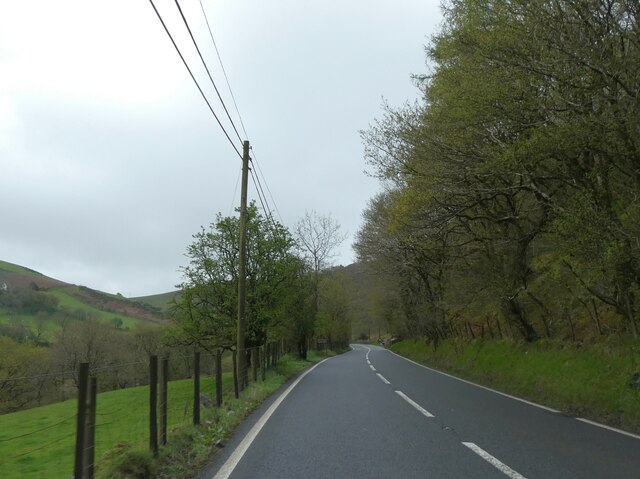
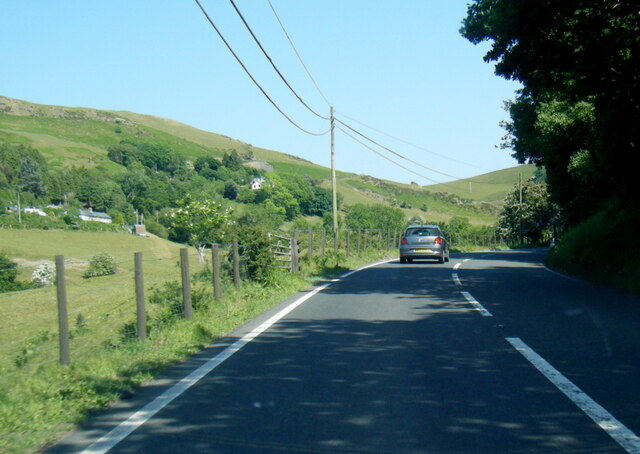
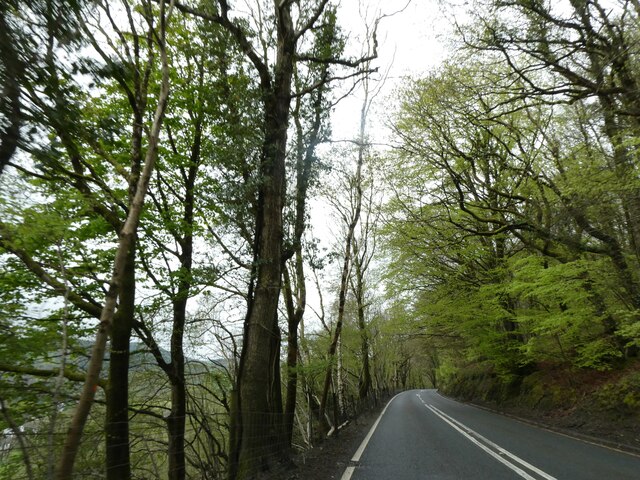
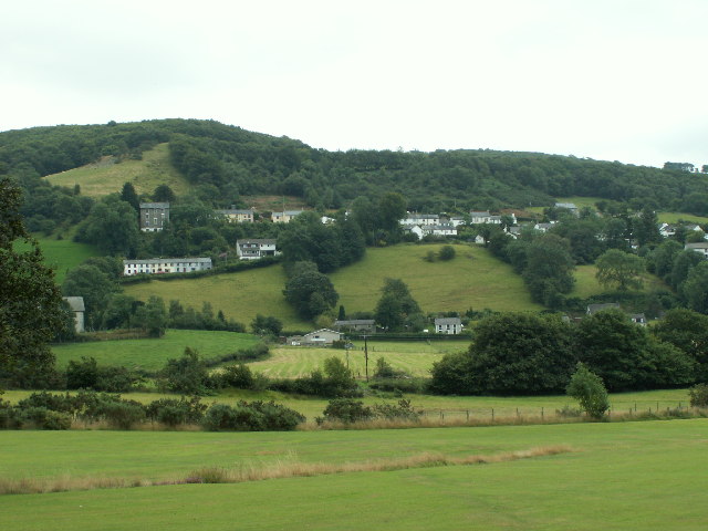
Banc Coed-laith, located in Cardiganshire, Wales, is a picturesque and enchanting wood or forest area that offers visitors a tranquil and immersive natural experience. Spanning approximately 200 acres, this wooded haven is a haven for nature enthusiasts and those seeking solace amidst the beauty of the great outdoors.

Banc Coed-laith boasts an impressive variety of tree species, including oak, beech, and birch, which create a diverse and vibrant ecosystem. The forest floor is adorned with a rich carpet of ferns, bluebells, and other wildflowers, adding to the area's aesthetic appeal. The wood is home to a wide array of wildlife, including deer, foxes, badgers, and numerous bird species, making it a haven for wildlife enthusiasts and birdwatchers alike.

Visitors to Banc Coed-laith can explore the area by following the network of well-maintained walking trails, which offer stunning views and opportunities to observe the local flora and fauna. The forest's serene ambiance and peaceful atmosphere make it an ideal place for hiking, picnicking, or simply unwinding amidst nature.

Banc Coed-laith also holds significant historical and cultural value. The forest has remnants of ancient earthworks and is believed to have been inhabited since prehistoric times. It has witnessed centuries of human activity, including as a source of timber for local industries.

In summary, Banc Coed-laith is a captivating woodland area in Cardiganshire that offers visitors a chance to immerse themselves in the beauty of nature. With its diverse ecosystem, scenic walking trails, and rich history, this forest is a must-visit destination for those seeking a peaceful and immersive natural experience.

If you have any feedback on the listing, please let us know in the comments section below.

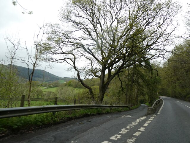
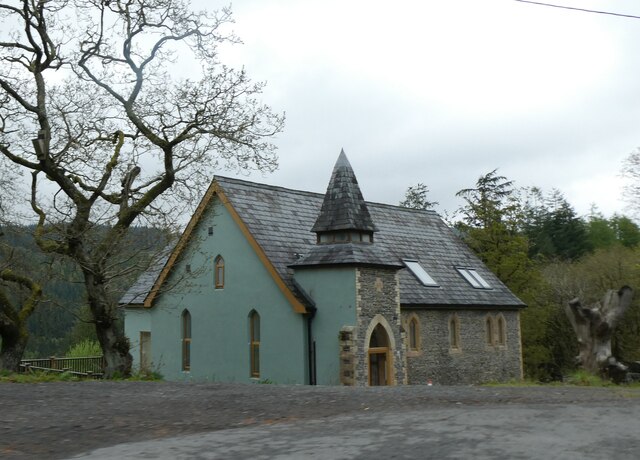
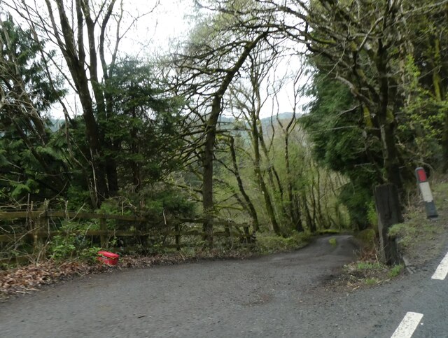
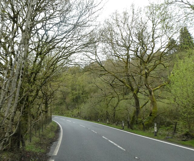
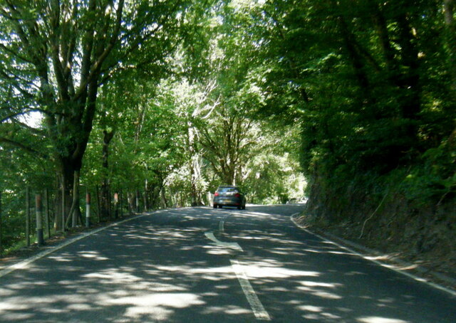
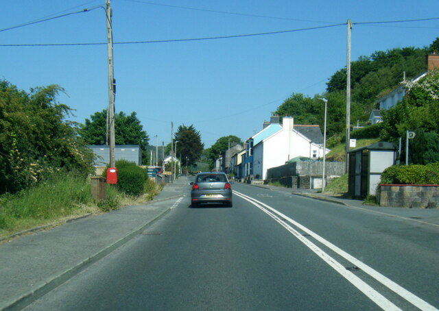
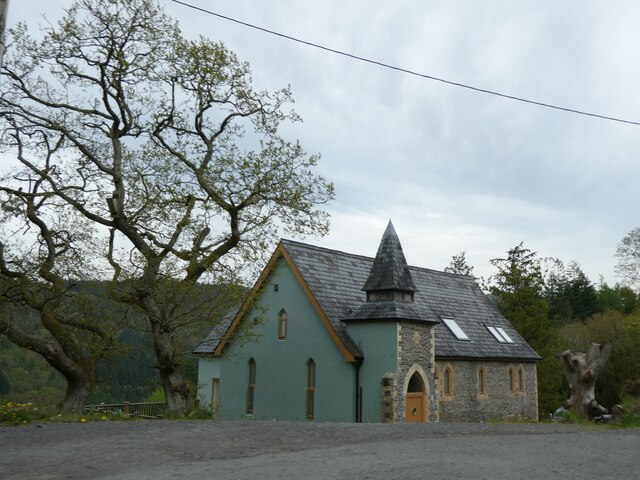
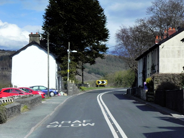
Banc Coed-laith Images

Images are sourced within 2km of 52.422272/-3.9242528 or Grid Reference SN6982. Thanks to Geograph Open Source API. All images are credited.

A44 skirting the valley above Nant Brwyno The A44 is a major road in the United Kingdom that runs for 155 miles from Oxford in southern England to Aberystwyth in west Wales.
<span class="nowrap"><a title="http://www.sabre-roads.org.uk/wiki/index.php?title=A44" rel="nofollow ugc noopener" href="http://www.sabre-roads.org.uk/wiki/index.php?title=A44">Link</a><img style="margin-left:2px;" alt="External link" title="External link - shift click to open in new window" src="https://s1.geograph.org.uk/img/external.png" width="10" height="10"/></span>  SABRE
<span class="nowrap"><a title="https://en.wikipedia.org/wiki/A44_road" rel="nofollow ugc noopener" href="https://en.wikipedia.org/wiki/A44_road">Link</a><img style="margin-left:2px;" alt="External link" title="External link - shift click to open in new window" src="https://s1.geograph.org.uk/img/external.png" width="10" height="10"/></span>  Wikipedia
A44 skirting the valley above Nant Brwyno
The A44 is a major road in the United Kingdom that runs for 155 miles from Oxford in southern England to Aberystwyth in west Wales. LinkExternal link SABRE LinkExternal link Wikipedia
A44 west of Cwmbrwyno
Posh Paws Dog grooming venture at Goginan
Posh Paws
Dog grooming venture at Goginan
A44 in woodland west of Goginan The A44 is a major road in the United Kingdom that runs for 155 miles from Oxford in southern England to Aberystwyth in west Wales.
<span class="nowrap"><a title="http://www.sabre-roads.org.uk/wiki/index.php?title=A44" rel="nofollow ugc noopener" href="http://www.sabre-roads.org.uk/wiki/index.php?title=A44">Link</a><img style="margin-left:2px;" alt="External link" title="External link - shift click to open in new window" src="https://s1.geograph.org.uk/img/external.png" width="10" height="10"/></span>  SABRE
<span class="nowrap"><a title="https://en.wikipedia.org/wiki/A44_road" rel="nofollow ugc noopener" href="https://en.wikipedia.org/wiki/A44_road">Link</a><img style="margin-left:2px;" alt="External link" title="External link - shift click to open in new window" src="https://s1.geograph.org.uk/img/external.png" width="10" height="10"/></span>  Wikipedia
A44 in woodland west of Goginan
The A44 is a major road in the United Kingdom that runs for 155 miles from Oxford in southern England to Aberystwyth in west Wales. LinkExternal link SABRE LinkExternal link Wikipedia
This way to Penbryn and the valley; side road from A44 The A44 is a major road in the United Kingdom that runs for 155 miles from Oxford in southern England to Aberystwyth in west Wales.
<span class="nowrap"><a title="http://www.sabre-roads.org.uk/wiki/index.php?title=A44" rel="nofollow ugc noopener" href="http://www.sabre-roads.org.uk/wiki/index.php?title=A44">Link</a><img style="margin-left:2px;" alt="External link" title="External link - shift click to open in new window" src="https://s1.geograph.org.uk/img/external.png" width="10" height="10"/></span>  SABRE
<span class="nowrap"><a title="https://en.wikipedia.org/wiki/A44_road" rel="nofollow ugc noopener" href="https://en.wikipedia.org/wiki/A44_road">Link</a><img style="margin-left:2px;" alt="External link" title="External link - shift click to open in new window" src="https://s1.geograph.org.uk/img/external.png" width="10" height="10"/></span>  Wikipedia
This way to Penbryn and the valley; side road from A44
The A44 is a major road in the United Kingdom that runs for 155 miles from Oxford in southern England to Aberystwyth in west Wales. LinkExternal link SABRE LinkExternal link Wikipedia
Goginan's abandoned church by A44
Side road from A44 to Blaendyffryn The A44 is a major road in the United Kingdom that runs for 155 miles from Oxford in southern England to Aberystwyth in west Wales.
<span class="nowrap"><a title="http://www.sabre-roads.org.uk/wiki/index.php?title=A44" rel="nofollow ugc noopener" href="http://www.sabre-roads.org.uk/wiki/index.php?title=A44">Link</a><img style="margin-left:2px;" alt="External link" title="External link - shift click to open in new window" src="https://s1.geograph.org.uk/img/external.png" width="10" height="10"/></span>  SABRE
<span class="nowrap"><a title="https://en.wikipedia.org/wiki/A44_road" rel="nofollow ugc noopener" href="https://en.wikipedia.org/wiki/A44_road">Link</a><img style="margin-left:2px;" alt="External link" title="External link - shift click to open in new window" src="https://s1.geograph.org.uk/img/external.png" width="10" height="10"/></span>  Wikipedia
Side road from A44 to Blaendyffryn
The A44 is a major road in the United Kingdom that runs for 155 miles from Oxford in southern England to Aberystwyth in west Wales. LinkExternal link SABRE LinkExternal link Wikipedia
A44 in Blaendyffryn Woods The A44 is a major road in the United Kingdom that runs for 155 miles from Oxford in southern England to Aberystwyth in west Wales.
<span class="nowrap"><a title="http://www.sabre-roads.org.uk/wiki/index.php?title=A44" rel="nofollow ugc noopener" href="http://www.sabre-roads.org.uk/wiki/index.php?title=A44">Link</a><img style="margin-left:2px;" alt="External link" title="External link - shift click to open in new window" src="https://s1.geograph.org.uk/img/external.png" width="10" height="10"/></span>  SABRE
<span class="nowrap"><a title="https://en.wikipedia.org/wiki/A44_road" rel="nofollow ugc noopener" href="https://en.wikipedia.org/wiki/A44_road">Link</a><img style="margin-left:2px;" alt="External link" title="External link - shift click to open in new window" src="https://s1.geograph.org.uk/img/external.png" width="10" height="10"/></span>  Wikipedia
A44 in Blaendyffryn Woods
The A44 is a major road in the United Kingdom that runs for 155 miles from Oxford in southern England to Aberystwyth in west Wales. LinkExternal link SABRE LinkExternal link Wikipedia
A44 south of Penbryn Farm
A44 in Goginan
A44 in Goginan
Goginan chapel
Goginan chapel
Double Bend on the A44 near Goginan The A44 is a major road in the United Kingdom that runs for 155 miles from Oxford in southern England to Aberystwyth in west Wales.
<span class="nowrap"><a title="http://www.sabre-roads.org.uk/wiki/index.php?title=A44" rel="nofollow ugc noopener" href="http://www.sabre-roads.org.uk/wiki/index.php?title=A44">Link</a><img style="margin-left:2px;" alt="External link" title="External link - shift click to open in new window" src="https://s1.geograph.org.uk/img/external.png" width="10" height="10"/></span>  SABRE
<span class="nowrap"><a title="https://en.wikipedia.org/wiki/A44_road" rel="nofollow ugc noopener" href="https://en.wikipedia.org/wiki/A44_road">Link</a><img style="margin-left:2px;" alt="External link" title="External link - shift click to open in new window" src="https://s1.geograph.org.uk/img/external.png" width="10" height="10"/></span>  Wikipedia
Double Bend on the A44 near Goginan
The A44 is a major road in the United Kingdom that runs for 155 miles from Oxford in southern England to Aberystwyth in west Wales. LinkExternal link SABRE LinkExternal link Wikipedia
Eastbound A44 near to Goginan The A44 is a major road in the United Kingdom that runs for 155 miles from Oxford in southern England to Aberystwyth in west Wales.
<span class="nowrap"><a title="http://www.sabre-roads.org.uk/wiki/index.php?title=A44" rel="nofollow ugc noopener" href="http://www.sabre-roads.org.uk/wiki/index.php?title=A44">Link</a><img style="margin-left:2px;" alt="External link" title="External link - shift click to open in new window" src="https://s1.geograph.org.uk/img/external.png" width="10" height="10"/></span>  SABRE
<span class="nowrap"><a title="https://en.wikipedia.org/wiki/A44_road" rel="nofollow ugc noopener" href="https://en.wikipedia.org/wiki/A44_road">Link</a><img style="margin-left:2px;" alt="External link" title="External link - shift click to open in new window" src="https://s1.geograph.org.uk/img/external.png" width="10" height="10"/></span>  Wikipedia
Eastbound A44 near to Goginan
The A44 is a major road in the United Kingdom that runs for 155 miles from Oxford in southern England to Aberystwyth in west Wales. LinkExternal link SABRE LinkExternal link Wikipedia
Sharp Bend on the A44 near to Goginan The A44 is a major road in the United Kingdom that runs for 155 miles from Oxford in southern England to Aberystwyth in west Wales.
<span class="nowrap"><a title="http://www.sabre-roads.org.uk/wiki/index.php?title=A44" rel="nofollow ugc noopener" href="http://www.sabre-roads.org.uk/wiki/index.php?title=A44">Link</a><img style="margin-left:2px;" alt="External link" title="External link - shift click to open in new window" src="https://s1.geograph.org.uk/img/external.png" width="10" height="10"/></span>  SABRE
<span class="nowrap"><a title="https://en.wikipedia.org/wiki/A44_road" rel="nofollow ugc noopener" href="https://en.wikipedia.org/wiki/A44_road">Link</a><img style="margin-left:2px;" alt="External link" title="External link - shift click to open in new window" src="https://s1.geograph.org.uk/img/external.png" width="10" height="10"/></span>  Wikipedia
Sharp Bend on the A44 near to Goginan
The A44 is a major road in the United Kingdom that runs for 155 miles from Oxford in southern England to Aberystwyth in west Wales. LinkExternal link SABRE LinkExternal link Wikipedia
A44 through Goginan Goginan is a small village in Ceredigion lying on the A44 between Ponterwyd and Capel Bangor about 7 miles to the west of Aberystwyth. The village originally grew around farms in the area, but increased with the development of local mines.
A44 through Goginan
Goginan is a small village in Ceredigion lying on the A44 between Ponterwyd and Capel Bangor about 7 miles to the west of Aberystwyth. The village originally grew around farms in the area, but increased with the development of local mines.
The A44, Goginan Goginan is a small village in Ceredigion lying on the A44 between Ponterwyd and Capel Bangor about 7 miles to the west of Aberystwyth. The village originally grew around farms in the area, but increased with the development of local mines.
The A44, Goginan
Goginan is a small village in Ceredigion lying on the A44 between Ponterwyd and Capel Bangor about 7 miles to the west of Aberystwyth. The village originally grew around farms in the area, but increased with the development of local mines.
Minor Road Leaving the A44 to the West of Goginan The A44 is a major road in the United Kingdom that runs for 155 miles from Oxford in southern England to Aberystwyth in west Wales.
<span class="nowrap"><a title="http://www.sabre-roads.org.uk/wiki/index.php?title=A44" rel="nofollow ugc noopener" href="http://www.sabre-roads.org.uk/wiki/index.php?title=A44">Link</a><img style="margin-left:2px;" alt="External link" title="External link - shift click to open in new window" src="https://s1.geograph.org.uk/img/external.png" width="10" height="10"/></span>  SABRE
<span class="nowrap"><a title="https://en.wikipedia.org/wiki/A44_road" rel="nofollow ugc noopener" href="https://en.wikipedia.org/wiki/A44_road">Link</a><img style="margin-left:2px;" alt="External link" title="External link - shift click to open in new window" src="https://s1.geograph.org.uk/img/external.png" width="10" height="10"/></span>  Wikipedia
Minor Road Leaving the A44 to the West of Goginan
The A44 is a major road in the United Kingdom that runs for 155 miles from Oxford in southern England to Aberystwyth in west Wales. LinkExternal link SABRE LinkExternal link Wikipedia
HGV on the A44 at Cwmbrwyno Spectrum Freight MAN TGX (DK11 YJR) travelling towards Aberystwyth on the A44 at Cwmbrwyno.
HGV on the A44 at Cwmbrwyno
Spectrum Freight MAN TGX (DK11 YJR) travelling towards Aberystwyth on the A44 at Cwmbrwyno.
Show me another place!

Banc Coed-laith is located at Grid Ref: SN6982 (Lat: 52.422272, Lng: -3.9242528)

Unitary Authority: Ceredigion

Police Authority: Dyfed Powys

What 3 Words

///parties.thickens.clarifies. Near Bow Street, Ceredigion

Nearby Locations

Cwmerfyn Banc Coed-laith

Related Wikis

Cwmerfyn

Cwmerfyn (historically Cwm-erfin or Cwmerfin) is a hamlet in the community of Trefeurig, Ceredigion, Wales, nine miles (14 km) by road east of Aberystwyth...

Dollwen

Dollwen is a hamlet in the community of Melindwr, Ceredigion, Wales, which is 72.1 miles (116 km) from Cardiff and 173.6 miles (279.4 km) from London...

Goginan

Goginan is a small village in Ceredigion, about 7 miles outside Aberystwyth on the A44 between Ponterwyd and Capel Bangor. The Afon Melindwr runs through...

Daren

Daren is a hamlet bach in the community of Trefeurig, Ceredigion, Wales, which is 73.2 miles (117.7 km) from Cardiff and 174.5 miles (280.8 km) from London...

Nearby Amenities

Located within 500m of 52.422272,-3.9242528
Direction: 185
Generator Method: photovoltaic
Generator Output Electricity: yes
Generator Solar Modules: 8
Generator Source: solar
Generator Type: solar_photovoltaic_panel
Location: roof
Power: generator
Lat/Long: 52.4210757/-3.9248932
The data included in this document is from www.openstreetmap.org. The data is made available under ODbL.

Have you been to Banc Coed-laith?

Leave your review of Banc Coed-laith below (or comments, questions and feedback).