Allt Cwmgerwyn
Wood, Forest in Carmarthenshire
Wales
Allt Cwmgerwyn
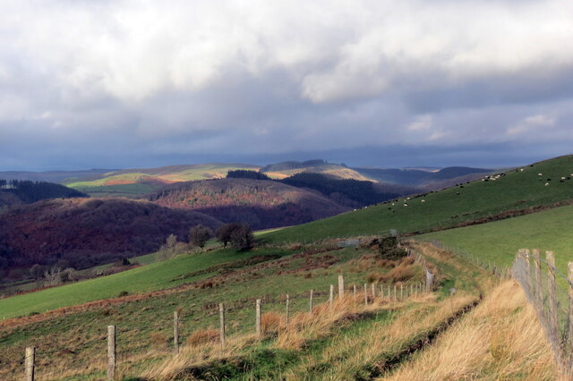
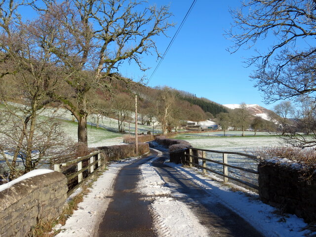
Allt Cwmgerwyn is a picturesque woodland located in Carmarthenshire, Wales. Spread over an area of approximately 100 hectares, it is a stunning example of the region's natural beauty. The woodland is nestled within the Cwmgerwyn Valley, offering visitors a tranquil and serene environment to explore.
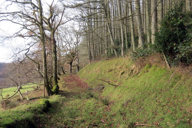
The main feature of Allt Cwmgerwyn is its diverse range of trees, including oak, beech, and birch. These towering giants provide a dense canopy, which filters sunlight and creates a cool and shaded atmosphere. The forest floor is covered with a rich carpet of mosses, ferns, and wildflowers, adding to the enchanting ambiance of the woodland.
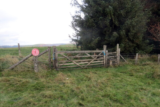
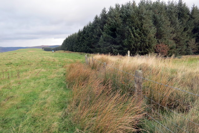
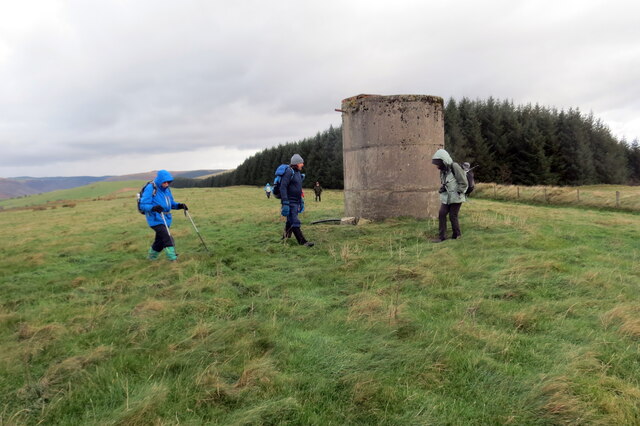
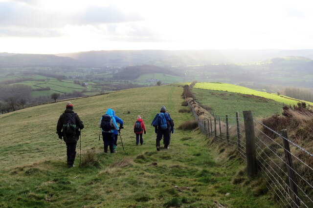
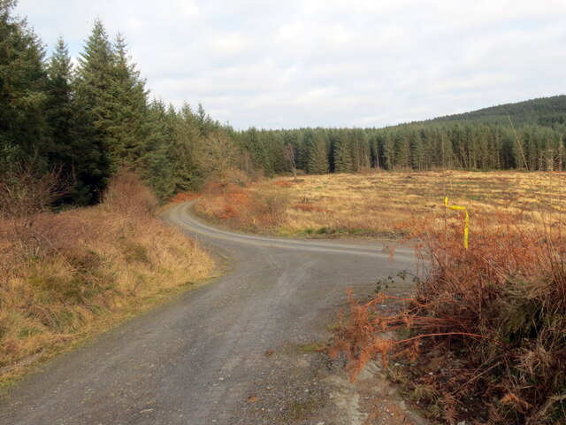
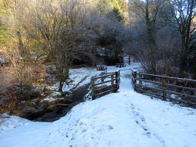
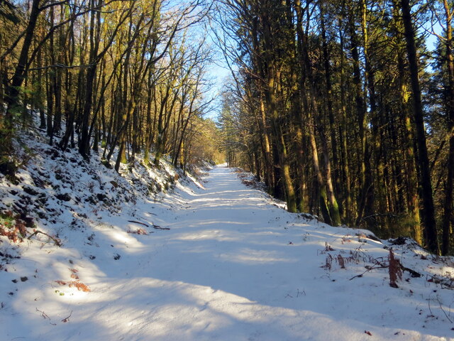
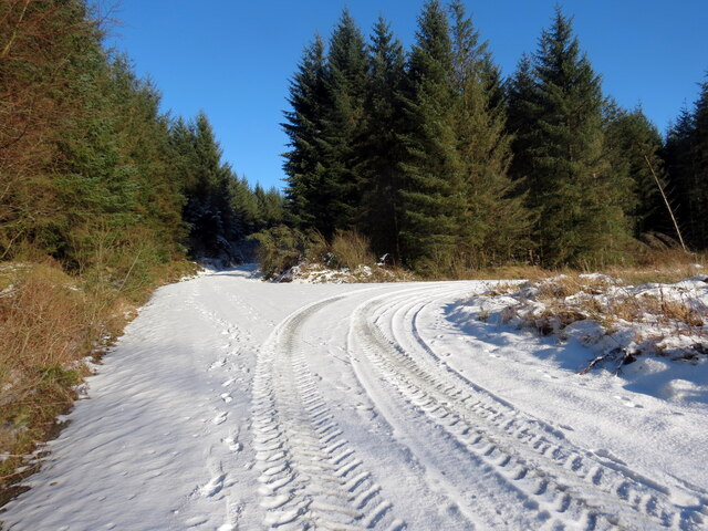
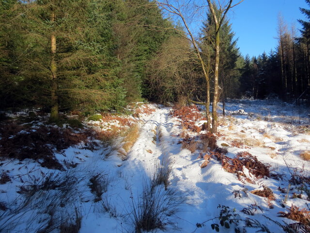
Numerous walking trails wind their way through the forest, allowing visitors to immerse themselves in its natural splendor. These paths provide opportunities for gentle strolls or more challenging hikes, catering to all levels of fitness and ability. Along the way, visitors may encounter a variety of wildlife, such as deer, foxes, and a wide array of bird species.
Allt Cwmgerwyn is not only a haven for nature enthusiasts but also serves as an important ecological site. The woodland is home to several rare and protected species, including the lesser horseshoe bat and the dormouse. Conservation efforts are in place to preserve and protect the delicate ecosystem of the area.
Overall, Allt Cwmgerwyn is a magical woodland that offers visitors a chance to escape the hustle and bustle of everyday life. With its breathtaking scenery, diverse flora and fauna, and peaceful atmosphere, it is a must-visit destination for anyone seeking a connection with nature in Carmarthenshire.
If you have any feedback on the listing, please let us know in the comments section below.
Allt Cwmgerwyn Images
Images are sourced within 2km of 52.059167/-3.9152849 or Grid Reference SN6841. Thanks to Geograph Open Source API. All images are credited.
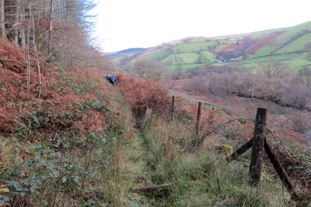

![Llwybr uwchben Caio / Path above Caio Llwybr cyhoeddus uwchben Caio ac yn sy'n mynd i gyfeiriad Cwm Cothi.
A public footpath above the village of Caio and heading towards Cwm Cothi (trans. [river] Cothi valley).](https://s1.geograph.org.uk/geophotos/07/38/65/7386501_ee6ae911.jpg)
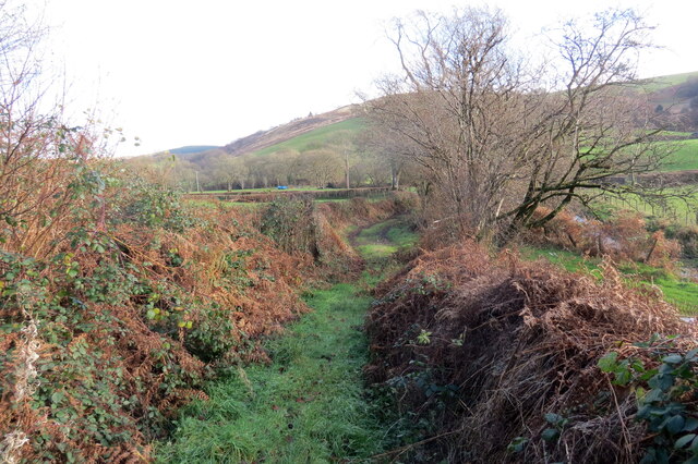
![Tuag at Gwm Cothi / Towards Cwm Cothi Llwybr troed cyhoeddus yn mynd i lawr y waered tuag ay Gwm Cothi.
A public footpath descending towards Cwm Cothi (trans. [river] Cothi valley).](https://s3.geograph.org.uk/geophotos/07/38/65/7386503_933f9711.jpg)
Allt Cwmgerwyn is located at Grid Ref: SN6841 (Lat: 52.059167, Lng: -3.9152849)
Unitary Authority: Carmarthenshire
Police Authority: Dyfed Powys
What 3 Words
///mingles.canine.slid. Near Llansawel, Carmarthenshire
Nearby Locations
Related Wikis

Caio, Carmarthenshire
Caio (or Caeo) is a village in the county of Carmarthenshire, south-west Wales, sited near to the Dolaucothi Gold Mines. == Location == It is located between...

Dolaucothi Estate
The Dolaucothi Estate (also Dolaucothy) is situated about 1 mile (1.6 km) north-west of the village of Caio up the Cothi Valley in the community of Cynwyl...

Dolaucothi Gold Mines
The Dolaucothi Gold Mines (pronounced [ˌdɔlaiˈkɔθɪ]; Welsh: Mwynfeydd Aur Dolaucothi) (grid reference SN662403), also known as the Ogofau Gold Mine, are...

Cynwyl Gaeo
Cynwyl Gaeo is a parish and community located in rural Carmarthenshire, Wales, near the boundary with Ceredigion, in the upper Cothi valley about halfway...
Have you been to Allt Cwmgerwyn?
Leave your review of Allt Cwmgerwyn below (or comments, questions and feedback).