Coed Dol-y-môch
Wood, Forest in Merionethshire
Wales
Coed Dol-y-môch
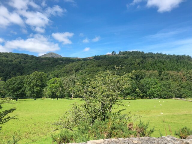
Coed Dol-y-môch, located in Merionethshire, Wales, is a captivating woodland area renowned for its natural beauty. Spanning over several hectares, this enchanting forest is a haven for nature enthusiasts, hikers, and those seeking tranquility amidst breathtaking surroundings.
The woodland, whose name translates to "Wood of the Pig Meadow," is characterized by its diverse ecosystem, featuring a mix of deciduous and coniferous trees. Towering oak, beech, and birch trees dominate the landscape, creating a dense canopy that filters sunlight and provides shade for the forest floor below. The forest is home to an array of wildlife, including deer, foxes, badgers, and a variety of bird species, making it a popular spot for birdwatching.
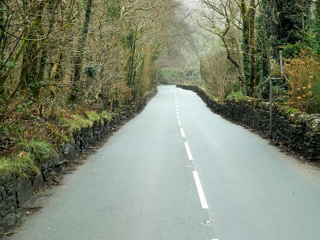
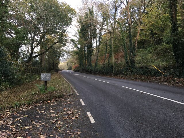
There are several well-maintained walking trails that meander through the forest, offering visitors the opportunity to explore its wonders. These trails cater to different skill levels and preferences, from leisurely strolls to more challenging hikes. The paths wind through ancient woodlands, across babbling streams, and up gentle slopes, unveiling breathtaking vistas along the way.
Coed Dol-y-môch is not only renowned for its natural beauty but also for its historical significance. The woodland has been a cherished part of the local community for centuries, with evidence of human habitation dating back to prehistoric times. Ruins of ancient settlements and burial sites can still be found within the forest, adding a layer of intrigue to its already captivating allure.
Overall, Coed Dol-y-môch is a mesmerizing destination that offers a harmonious blend of natural splendor and cultural heritage. Whether it's for a leisurely stroll, an immersive hike, or simply a moment of tranquility, this enchanting forest never fails to captivate the hearts of those who visit.
If you have any feedback on the listing, please let us know in the comments section below.
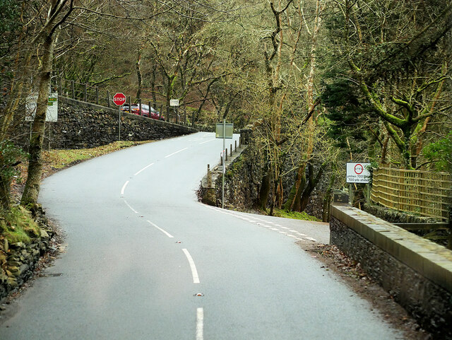
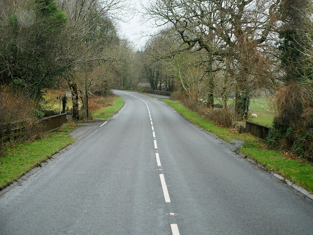
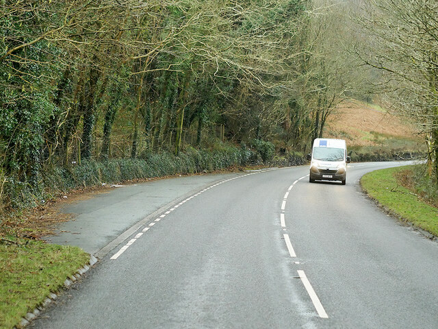
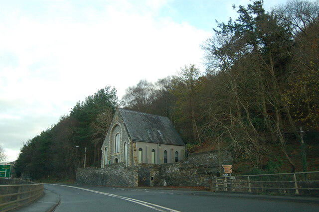
Coed Dol-y-môch Images
Images are sourced within 2km of 52.957331/-3.9634449 or Grid Reference SH6841. Thanks to Geograph Open Source API. All images are credited.


Coed Dol-y-môch is located at Grid Ref: SH6841 (Lat: 52.957331, Lng: -3.9634449)
Unitary Authority: Gwynedd
Police Authority: North Wales
What 3 Words
///goodnight.tragedy.than. Near Maentwrog, Gwynedd
Nearby Locations
Related Wikis
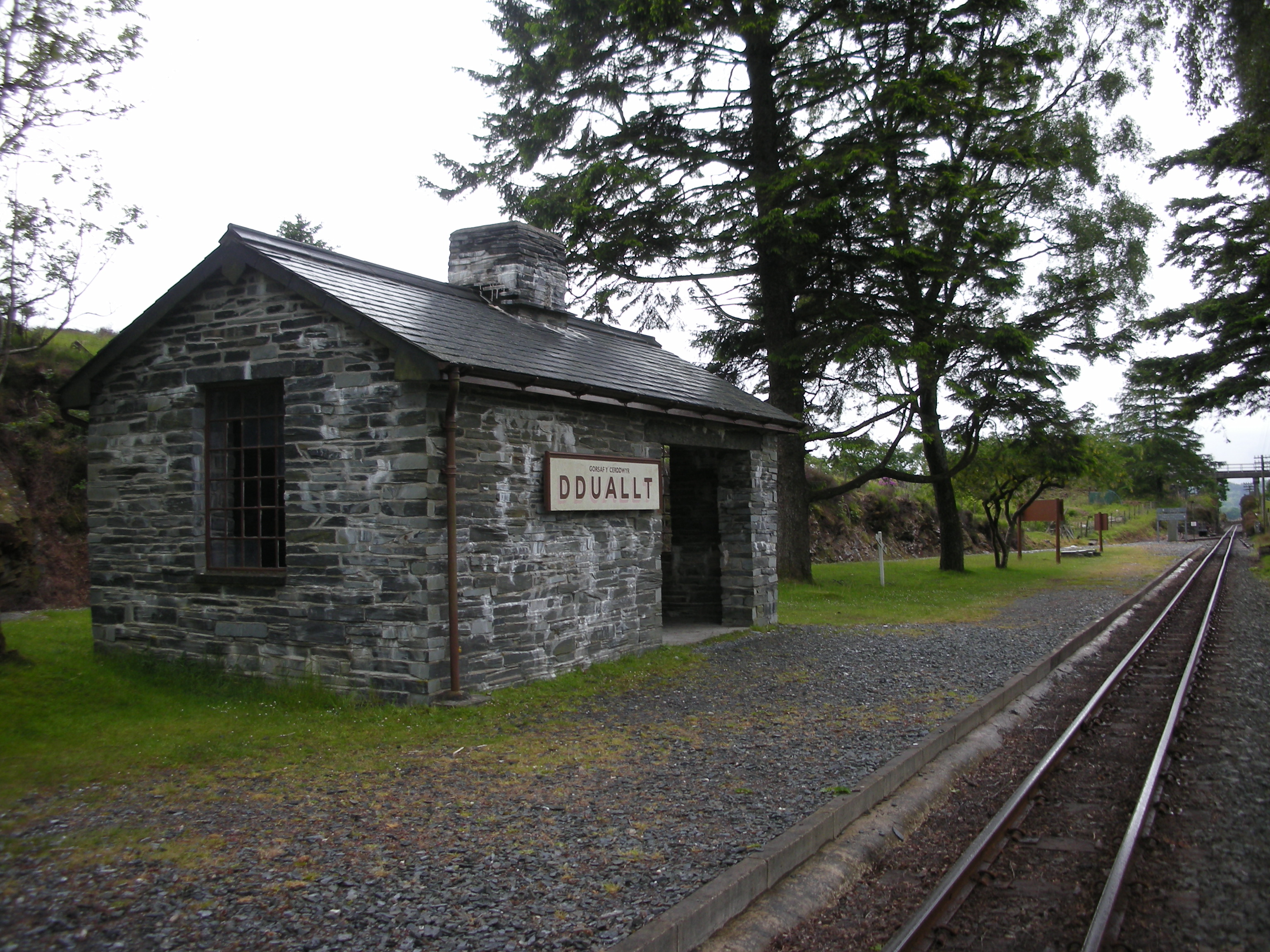
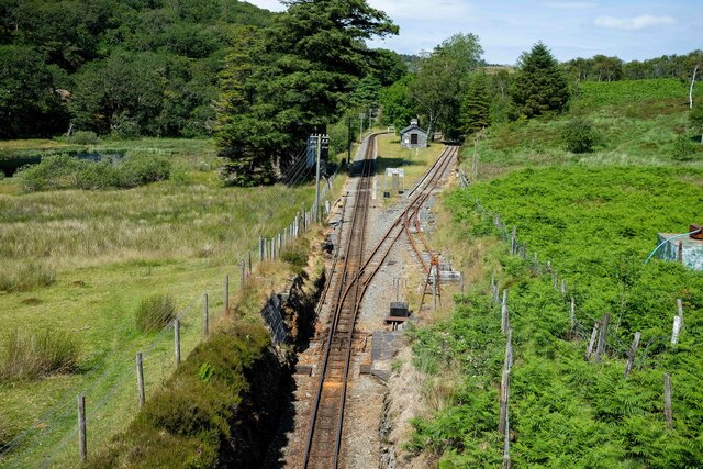
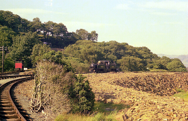
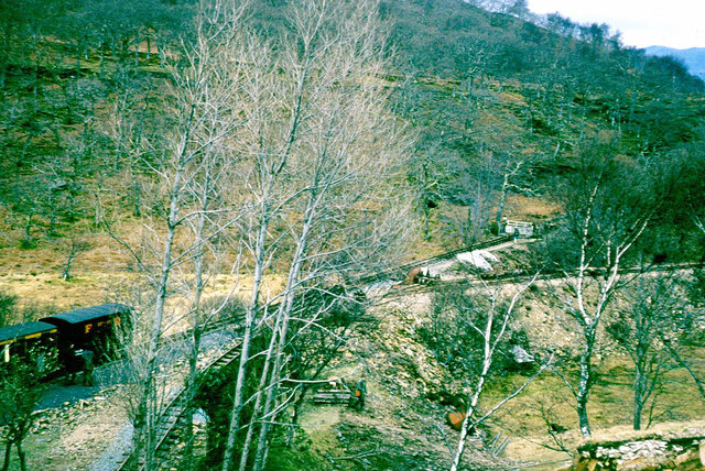
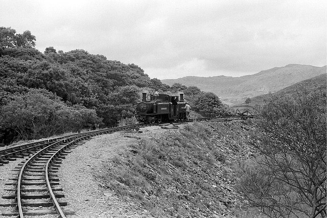
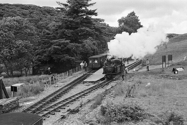
Dduallt railway station
Dduallt railway station (English: Black hill) (pronounced [ˈðɨ.aɬt]) is a passenger station on the narrow gauge Ffestiniog Railway in northwest Wales,...

Campbell's Platform railway station
Campbell's Platform (grid reference SH673418) is a private, unstaffed halt on the Welsh narrow gauge Ffestiniog Railway, which was built in 1836 to carry...

Coed Cymerau National Nature Reserve
Coed Cymerau National Nature Reserve is a wooded area of approximately 26 hectares on the north side of the Vale of Ffestiniog through which the River...
Coedydd Maentwrog National Nature Reserve
Coedydd Maentwrog, on the north side of the Vale of Ffestiniog, is the largest wood in the Vale (which runs from the coast at Porthmadog inland to Blaenau...

Ceunant Cynfal National Nature Reserve
Ceunant Cynfal National Nature Reserve is a river gorge which forms part of a wet wooded ravine of the Afon Cynfal near Ffestiniog in Gwynedd, Wales. The...

Llan Ffestiniog
Llan Ffestiniog, also known as Ffestiniog or simply Llan, is a village in Gwynedd (formerly in the county of Merionethshire), Wales, lying south of Blaenau...
Moelwyn quarry
Moelwyn quarry is a defunct slate quarry located to the south of the village of Tanygrisiau, north Wales. Some initial prospecting was carried out in the...
Ceunant Llennyrch National Nature Reserve
Ceunant Llennyrch National Nature Reserve is one of several woodland reserves in the Vale of Ffestiniog in Gwynedd, Wales and runs from Llyn Trawsfynydd...
Nearby Amenities
Located within 500m of 52.957331,-3.9634449Have you been to Coed Dol-y-môch?
Leave your review of Coed Dol-y-môch below (or comments, questions and feedback).