Coed Gallestra
Wood, Forest in Merionethshire
Wales
Coed Gallestra
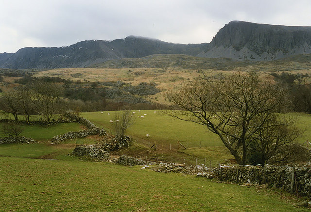
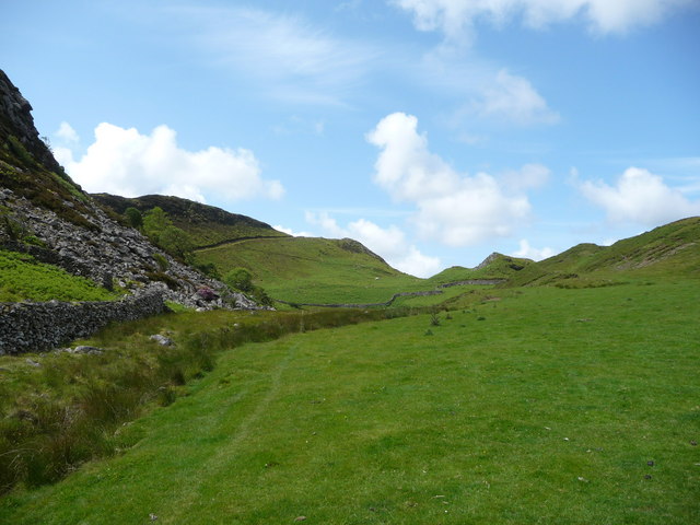
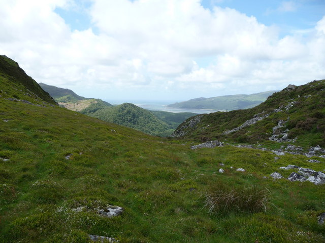
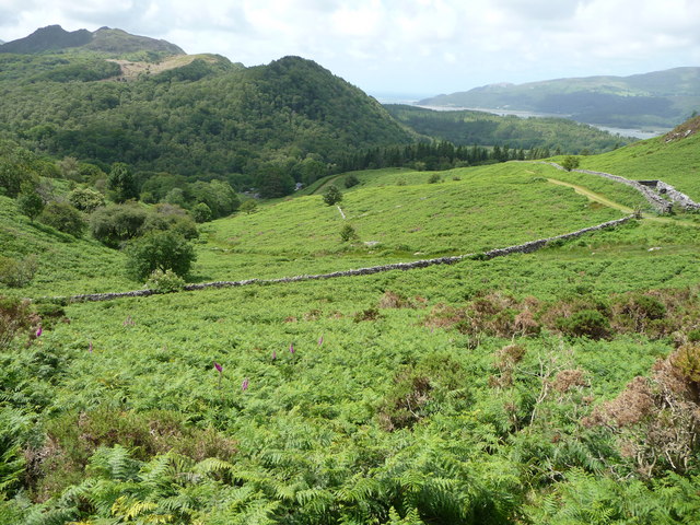
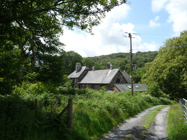
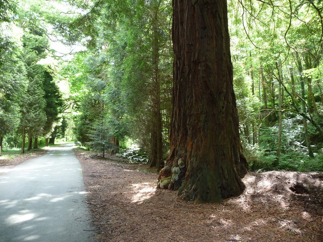
Coed Gallestra is a stunning woodland area located in Merionethshire, Wales. Spanning over acres of land, it is known for its captivating beauty and rich biodiversity. The name "Coed Gallestra" translates to "wood" or "forest" in English, which perfectly encapsulates the essence of this natural wonder.
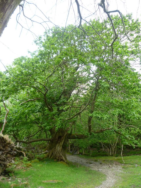
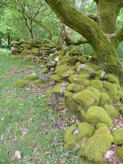
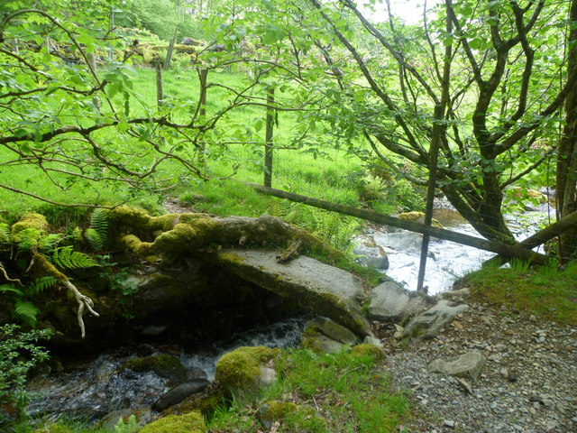
The woodland is characterized by its dense canopy of trees that provide a sanctuary for a wide array of flora and fauna. Tall, majestic oak trees dominate the landscape, interspersed with beech, ash, and birch trees. The forest floor is covered in a lush carpet of ferns, mosses, and wildflowers, adding a splash of color to the serene green surroundings.
Coed Gallestra is a haven for wildlife enthusiasts and nature lovers alike. It is home to a diverse range of animal species, including red squirrels, badgers, foxes, and various species of birds. Rare and endangered species such as the pine marten and black grouse have also been spotted within the woodland.
The area offers a network of well-maintained trails, allowing visitors to explore the beauty of Coed Gallestra at their own pace. As they wander through the forest, visitors can bask in the tranquility of nature, breathing in the fresh, earthy scent of the woods.
Coed Gallestra holds a special place in the hearts of locals and tourists, who appreciate its natural wonders and the sense of serenity it offers. It serves as a reminder of the importance of preserving and protecting our natural landscapes, ensuring their beauty and biodiversity for generations to come.
If you have any feedback on the listing, please let us know in the comments section below.
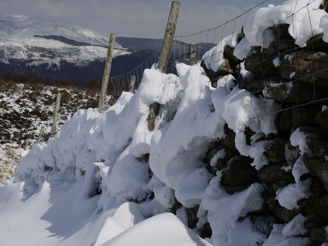
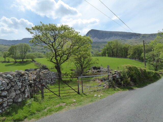
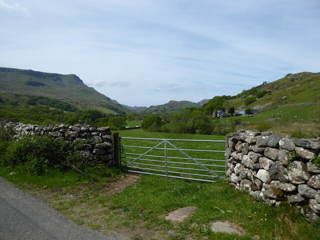
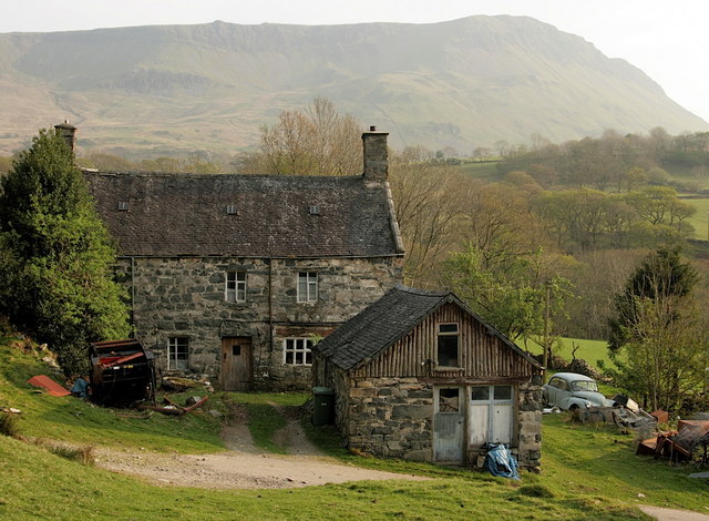
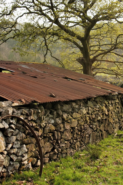
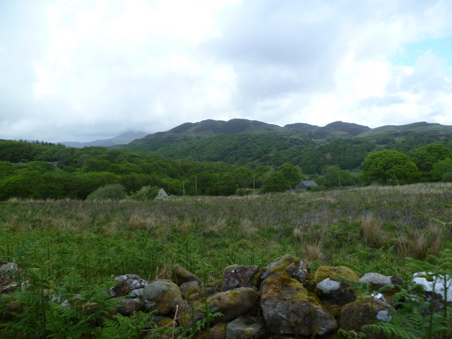
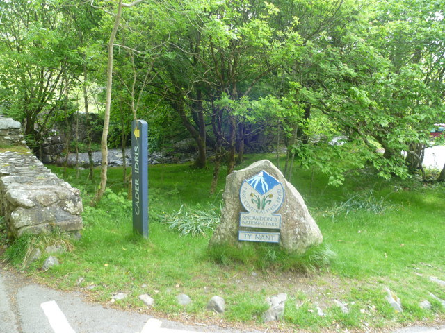
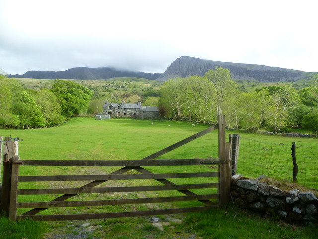
Coed Gallestra Images
Images are sourced within 2km of 52.726548/-3.953487 or Grid Reference SH6816. Thanks to Geograph Open Source API. All images are credited.
Coed Gallestra is located at Grid Ref: SH6816 (Lat: 52.726548, Lng: -3.953487)
Unitary Authority: Gwynedd
Police Authority: North Wales
What 3 Words
///steer.conspire.refuse. Near Dolgellau, Gwynedd
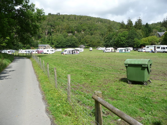
Nearby Locations
Related Wikis

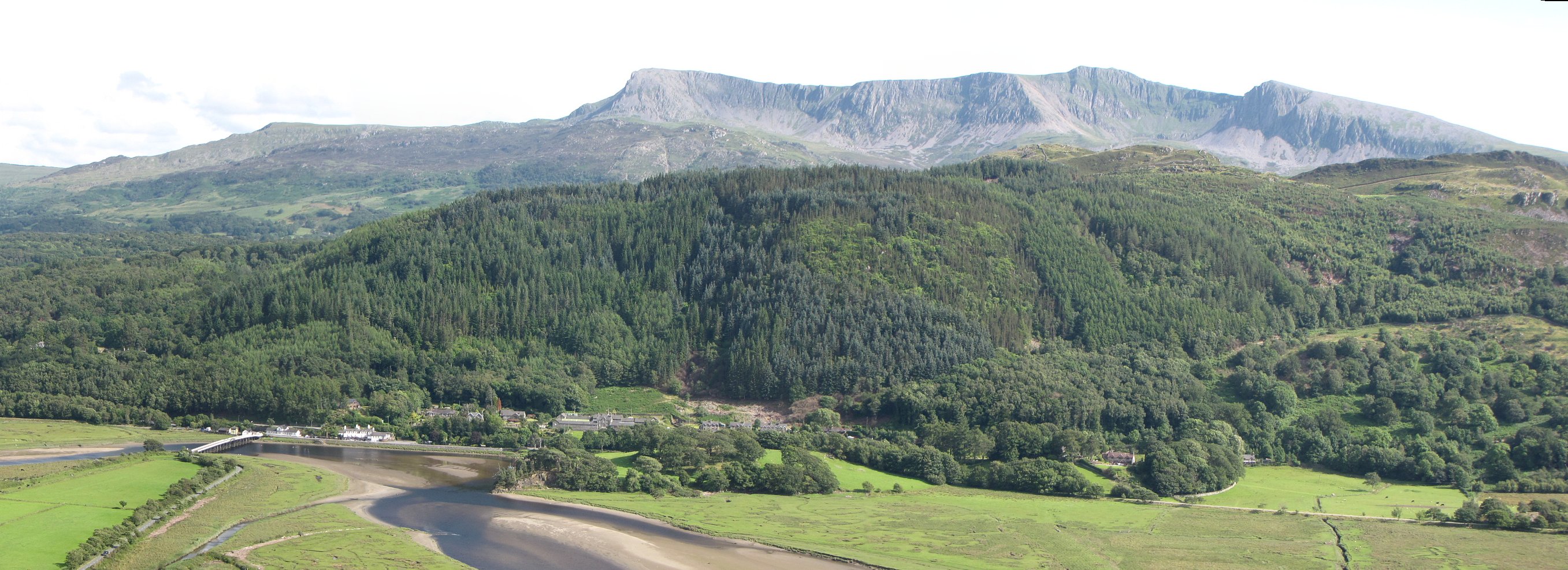
Mawddach Trail
The Mawddach Trail (Welsh: Llwybr Mawddach) is a cycle path route, part of Lôn Las Cymru, which runs for some 8 miles (13 km) from Dolgellau (52.7446°N...
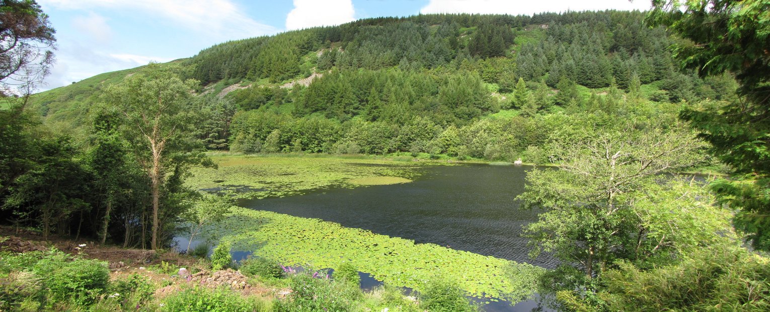
Llyn Gwernan
Llyn Gwernan is a lake in Gwynedd, Wales and an important geological site, notable for an unusual thickness of Devensian Late-glacial organic deposits...
Penmaenpool
Penmaenpool (Welsh: Llynpenmaen) is a hamlet on the south side of the estuary of the River Mawddach in Wales, near Dolgellau. A Grade II listed toll bridge...

Penmaenpool railway station
Penmaenpool railway station at Penmaenpool in Gwynedd, North Wales, was formerly a station on the Dolgelly [sic] branch of the Aberystwith and Welsh Coast...

Bontddu
Bontddu (meaning Black bridge) is a small settlement just east of Barmouth, near the town of Dolgellau in Gwynedd, Wales. It is in the community of Llanelltyd...

Borthwnog
Borthwnog is a family name given to the Borthwnog estate in Gwynedd, north-west Wales. Borthwnog Hall was the Manor House of the estate which encompassed...

St Philip's Church, Caerdeon
St Philip's Church, Caerdeon, near Barmouth, in Gwynedd, North Wales, is a redundant church and a Grade I listed building. The church was built in 1862...
Tyn-y-Coed Farmhouse
Tyn-y-Coed Farmhouse is a grade II Listed Building in Caerdeon, Barmouth, Gwynedd. This Georgian farm house was built in 1756 and later extended and altered...
Nearby Amenities
Located within 500m of 52.726548,-3.953487Have you been to Coed Gallestra?
Leave your review of Coed Gallestra below (or comments, questions and feedback).