Coed Pant-haul
Wood, Forest in Cardiganshire
Wales
Coed Pant-haul
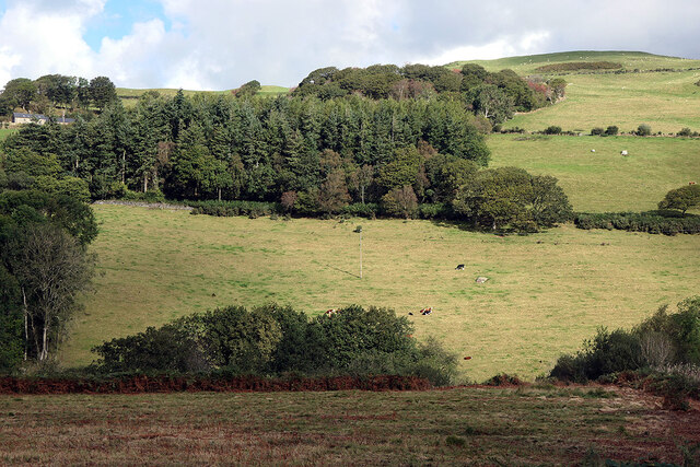
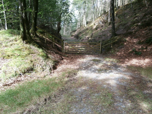
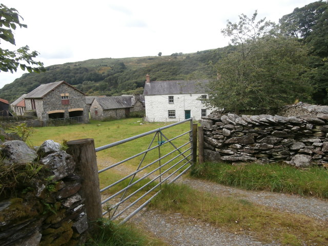
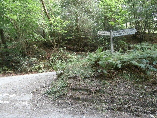
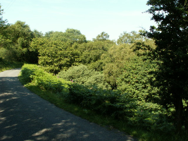
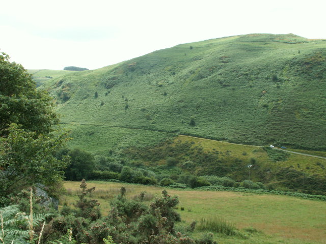
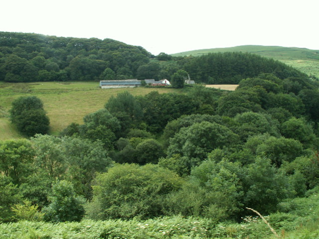
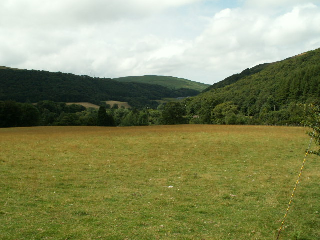
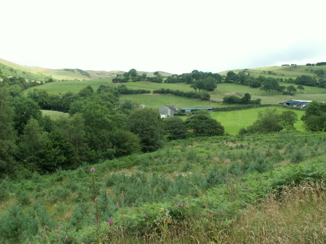
Coed Pant-haul is a picturesque wood located in the county of Cardiganshire, Wales. Spanning over a vast area, this forest is a paradise for nature enthusiasts and outdoor lovers. The name "Coed Pant-haul" translates to "wood of the sun-drenched hollow," which aptly describes the serene and sunny atmosphere found within.
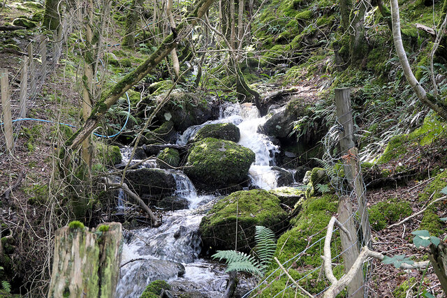
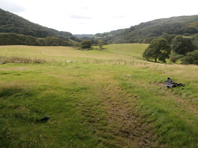
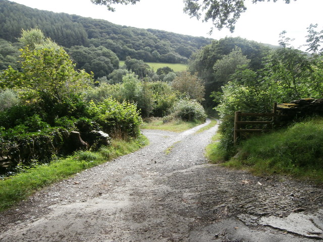
The forest boasts a diverse range of flora and fauna, making it an ideal location for wildlife observation and nature walks. Towering oak, beech, and ash trees dominate the landscape, creating a dense canopy that provides shade and shelter to a myriad of woodland creatures. Wildflowers carpet the forest floor, adding splashes of color to the scene.
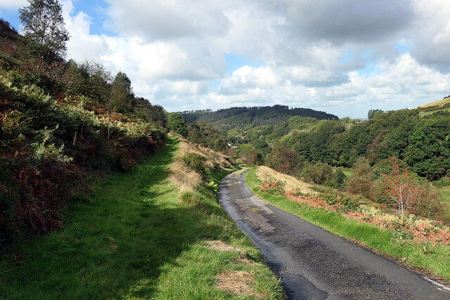
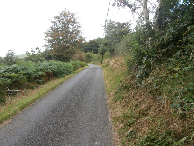
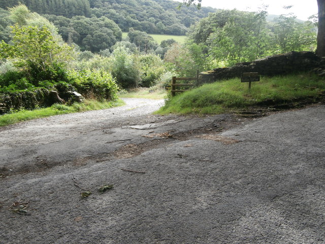
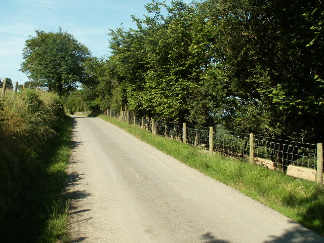
Visitors to Coed Pant-haul can enjoy numerous recreational activities. Well-maintained trails wind through the woods, allowing hikers and walkers to explore the area at their own pace. Birdwatchers will be delighted by the variety of avian species that call this forest home, including woodpeckers, jays, and owls. For those seeking a more tranquil experience, peaceful picnic spots can be found amidst the trees, providing a perfect setting for a leisurely lunch.
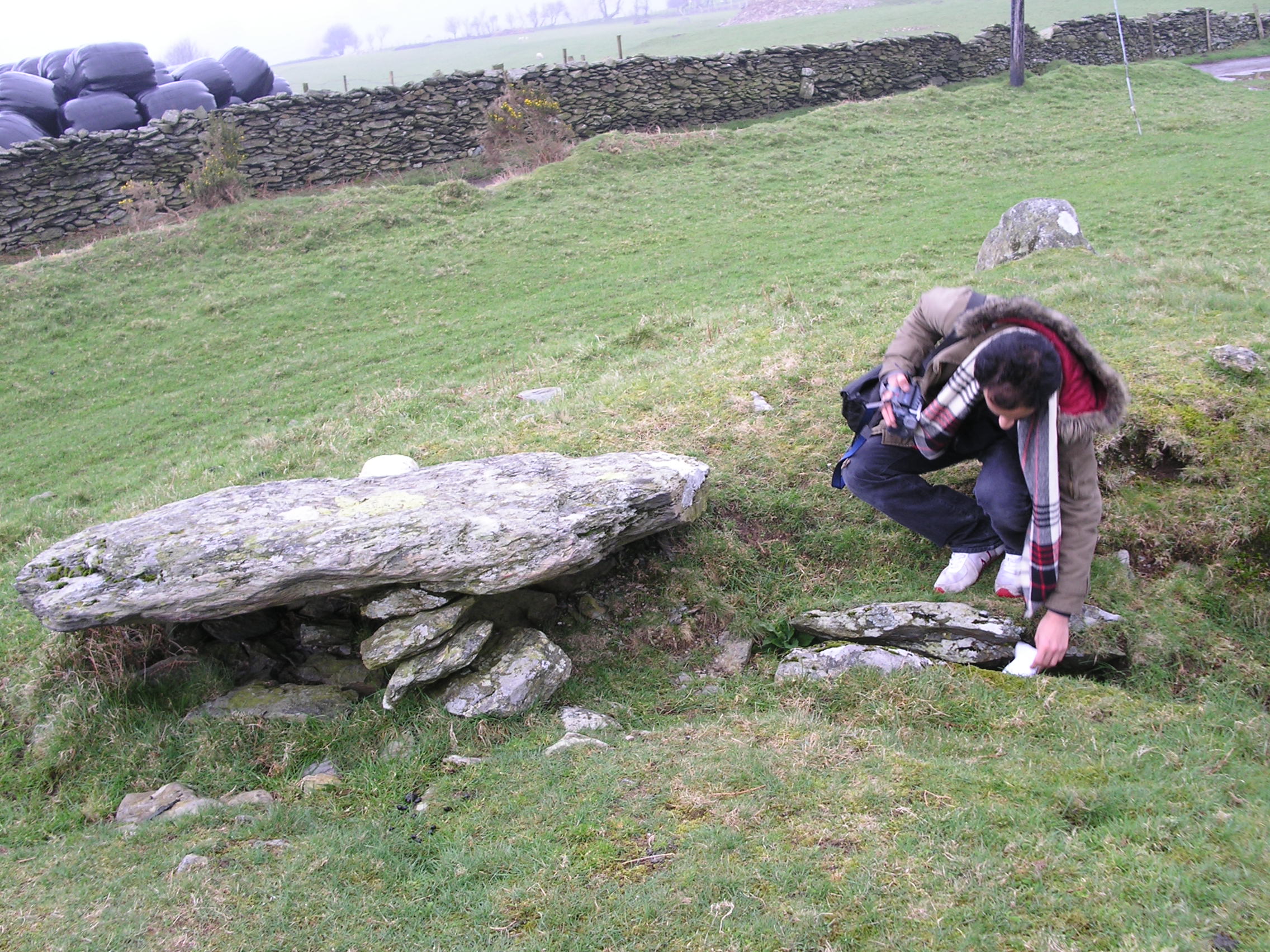
Coed Pant-haul is also steeped in history and folklore. Ruins of an ancient hill fort can be seen within the wood, serving as a reminder of the area's rich past. Local legends speak of hidden treasure buried deep within the forest, adding an air of mystery and intrigue to the surroundings.
Overall, Coed Pant-haul is a captivating destination that offers a harmonious blend of natural beauty, recreational opportunities, and cultural significance. Whether you're a nature lover, history buff, or simply seeking tranquility, this woodland gem in Cardiganshire is sure to leave a lasting impression.
If you have any feedback on the listing, please let us know in the comments section below.
Coed Pant-haul Images
Images are sourced within 2km of 52.478567/-3.9429368 or Grid Reference SN6888. Thanks to Geograph Open Source API. All images are credited.

Coed Pant-haul is located at Grid Ref: SN6888 (Lat: 52.478567, Lng: -3.9429368)
Unitary Authority: Ceredigion
Police Authority: Dyfed Powys
What 3 Words
///vertical.centrally.cringe. Near Bow Street, Ceredigion
Nearby Locations
Related Wikis

Bont Goch
Bont Goch (also known as Bontgoch or Elerch) is a village in Ceredigion, Wales, 2 miles (3.2 km) northeast of Aberystwyth. With Talybont, it is in the...

Tal-y-bont, Ceredigion
Tal-y-bont (also known as Talybont) is a village in Ceredigion, Wales, located on the A487 road about halfway between Aberystwyth and Machynlleth. At the...
Bedd Taliesin
Bedd Taliesin is the legendary grave (bedd) of the poet Taliesin, located in Ceredigion, Wales. The Bronze Age round cairn is a listed Historic Monument...

Cynnull-mawr
Cynnull-mawr is a small village in the community of Ceulanamaesmawr, Ceredigion, Wales, which is 76.3 miles (122.8 km) from Cardiff and 176.9 miles (284...

Tre-Taliesin
Tre-Taliesin is a village in Ceredigion on the A487 road, 9 miles north of Aberystwyth, Wales, and 9 miles south of Machynlleth. It is in the parish of...
Coed Cwm Clettwr
Coed Cwm Clettwr is a Site of Special Scientific Interest in Ceredigion, west Wales. It is designated for mature broadleaf woodland.The alternative spelling...
Ceulanamaesmawr
Ceulanamaesmawr is a community in Ceredigion, Wales, consisting of Tal-y-bont, Bont-goch and the surrounding area. The total population at the United...
Broginin
Broginin is a hamlet in the community of Trefeurig, Ceredigion, Wales, which is 74.6 miles (120 km) from Cardiff and 175.7 miles (282.8 km) from London...
Nearby Amenities
Located within 500m of 52.478567,-3.9429368Have you been to Coed Pant-haul?
Leave your review of Coed Pant-haul below (or comments, questions and feedback).