Allt y Pigyn

Wood, Forest in Carmarthenshire

Wales

Allt y Pigyn

Sheep pasture to the north of Garth Farm
Sheep pasture to the north of Garth Farm Credit: Stuart Logan

Allt y Pigyn is a picturesque woodland area located in the county of Carmarthenshire, Wales. Covering an area of approximately 100 hectares, it is a haven for nature enthusiasts and outdoor lovers alike. The woodland is situated near the village of Llanpumsaint, just a short drive from the market town of Carmarthen.

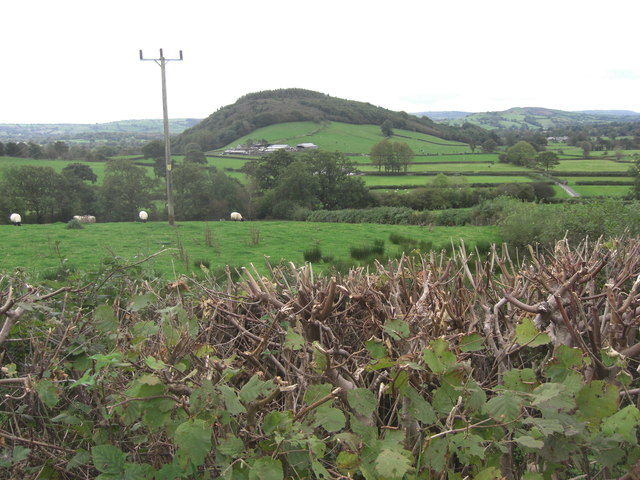
Allt y Pigyn is primarily composed of mixed deciduous and coniferous trees, creating a diverse ecosystem that supports a wide range of flora and fauna. The woodland is home to various species of birds, including woodpeckers, owls, and red kites, making it a popular spot for birdwatching. It also provides habitat for mammals such as badgers, foxes, and deer.

The woodlands offer a network of well-maintained walking trails, allowing visitors to explore its beauty at their own pace. These trails meander through the lush vegetation, offering breathtaking views of the surrounding countryside. There are also picnic areas and benches scattered throughout the woodland, providing the perfect opportunity for visitors to relax and enjoy the serene atmosphere.

Allt y Pigyn operates under the care of the Woodland Trust, a renowned conservation organization dedicated to preserving and promoting the importance of woodlands across the UK. The trust actively manages the woodland, ensuring its long-term sustainability and enhancing its biodiversity.

Overall, Allt y Pigyn is a remarkable natural gem in Carmarthenshire, offering a tranquil escape from the hustle and bustle of everyday life. Its rich biodiversity, well-maintained trails, and stunning scenery make it a must-visit destination for nature enthusiasts and those seeking solace in the beauty of the outdoors.

If you have any feedback on the listing, please let us know in the comments section below.
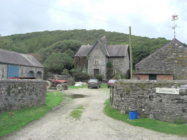
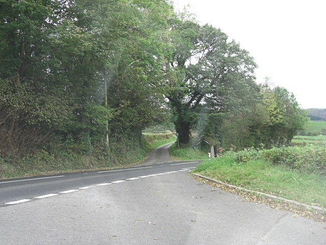
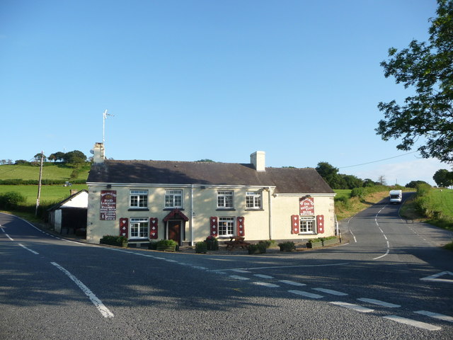
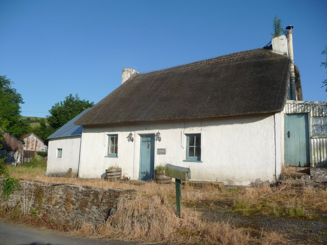
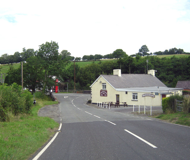
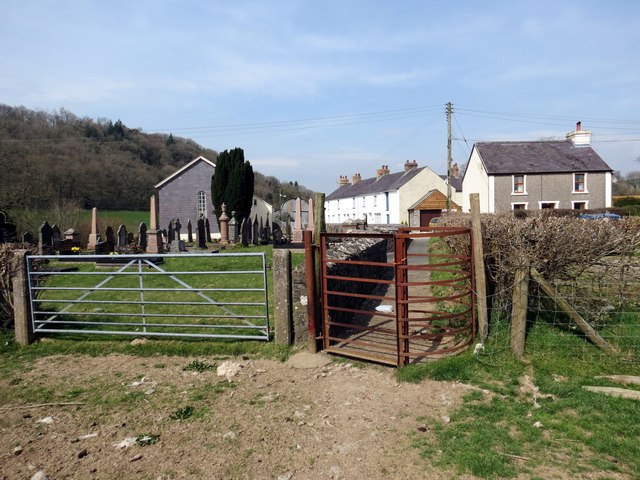
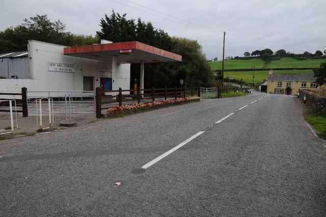
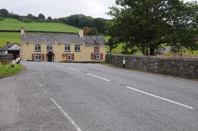
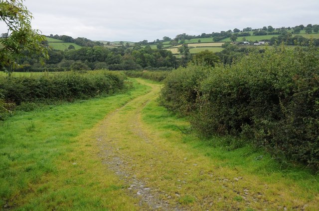
Allt y Pigyn Images

Images are sourced within 2km of 52.025167/-3.9509719 or Grid Reference SN6638. Thanks to Geograph Open Source API. All images are credited.

Sheep pasture to the north of Garth Farm
Glanyrannell Farm
Glanyrannell Farm
A482 crossroads near Felin Newydd
Cefnffordd  Banc Bwlch Cefn Sarth Ridgeway Cefnffordd a elwir yn Gefn Sarth. Mae'n amlwg taw hen heol oedd hon ond mae'r ffaith iddi gael ei hisraddio i lwybr troed yn syndod mawr. 

A ridgway known as Cefn Sarth. It is obvious that it is an old road but the fact that it has  been downgraded to a mere footpath is surprising.
Cefnffordd Banc Bwlch Cefn Sarth Ridgeway
Cefnffordd a elwir yn Gefn Sarth. Mae'n amlwg taw hen heol oedd hon ond mae'r ffaith iddi gael ei hisraddio i lwybr troed yn syndod mawr. A ridgway known as Cefn Sarth. It is obvious that it is an old road but the fact that it has been downgraded to a mere footpath is surprising.
The Bridgend Inn Sited at the road fork, ideal for trapping trade.
The Bridgend Inn
Sited at the road fork, ideal for trapping trade.
Old thatched Carmarthenshire cottage I stumbled over this gem - Castell it's called.
Old thatched Carmarthenshire cottage
I stumbled over this gem - Castell it's called.
Thatched cottage near Pumsaint What a beauty.
Thatched cottage near Pumsaint
What a beauty.
Old chapel on the outskirts of Caio / Caeo Barely a century old.
Old chapel on the outskirts of Caio / Caeo
Barely a century old.
Approaching the Bridgend Inn The Bridgend Inn stands at the junction of the A482 and B4302. This is the view approaching from the B4302.
Approaching the Bridgend Inn
The Bridgend Inn stands at the junction of the A482 and B4302. This is the view approaching from the B4302.
Banc Bwlch Pen Sarth Hen heol yr ucheldir ar Fanc Bwlch Pen Sarth. Mae'r ffordd wedi ei hisraddio i lwybr troed. 

Old uplands road on Banc Bwlch Pen Sarth. The way had been downgraded to a footpath.
Banc Bwlch Pen Sarth
Hen heol yr ucheldir ar Fanc Bwlch Pen Sarth. Mae'r ffordd wedi ei hisraddio i lwybr troed. Old uplands road on Banc Bwlch Pen Sarth. The way had been downgraded to a footpath.
Hen Heol / Old Road Hen heol o dan Fanc Goleugoed. Mae'r ffordd wedi ei hisraddio i lwybr troed. 

Old road below Banc Goleugoed. The way has been downgraded to a footpath.
Hen Heol / Old Road
Hen heol o dan Fanc Goleugoed. Mae'r ffordd wedi ei hisraddio i lwybr troed. Old road below Banc Goleugoed. The way has been downgraded to a footpath.
Hen Heol Uwchlaw Caio / Old Road Above Caio Cefnffordd hynafol uwchlaw pentre Caio. Mae'r ffordd wedi ei hisraddio i lwybr troed.

Ancient ridgeway above the village of Caio. The way has been downgraded to a footpath.
Hen Heol Uwchlaw Caio / Old Road Above Caio
Cefnffordd hynafol uwchlaw pentre Caio. Mae'r ffordd wedi ei hisraddio i lwybr troed. Ancient ridgeway above the village of Caio. The way has been downgraded to a footpath.
Crug y Bar Llwybr cyhoeddus yn arwain at anhedd-dai a Chapel Crug y Bar.

Public footpath heading towards properties and Crug y Bar Chapel.
Crug y Bar
Llwybr cyhoeddus yn arwain at anhedd-dai a Chapel Crug y Bar. Public footpath heading towards properties and Crug y Bar Chapel.
Upland grazing Upland grazing to the east of Lathige near Crugybar.
Upland grazing
Upland grazing to the east of Lathige near Crugybar.
The A482 passing a former filling station The A482 passing a former filling station and the Bridgend Inn north of Crugybar.
The A482 passing a former filling station
The A482 passing a former filling station and the Bridgend Inn north of Crugybar.
The Bridgend Inn The Bridgend Inn on the A482 north of Crugybar.
The Bridgend Inn
The Bridgend Inn on the A482 north of Crugybar.
The A482 passing Ynysau-isaf The A482 passing Ynysau-isaf near Crugybar.
The A482 passing Ynysau-isaf
The A482 passing Ynysau-isaf near Crugybar.
Track in the Cothi valley Track providing access to farmland from the A482 south of Pumsaint in the Cothi valley.
Track in the Cothi valley
Track providing access to farmland from the A482 south of Pumsaint in the Cothi valley.
Show me another place!

Allt y Pigyn is located at Grid Ref: SN6638 (Lat: 52.025167, Lng: -3.9509719)

Unitary Authority: Carmarthenshire

Police Authority: Dyfed Powys

What 3 Words

///delved.shout.obtain. Near Llansawel, Carmarthenshire

Nearby Locations

Felin Newydd Allt y Pigyn

Related Wikis

Crugybar

Crugybar is a village in Carmarthenshire, Wales, located between Talley and Pumsaint. It is roughly of equal distance from Lampeter, Llandovery and Llandeilo...

Dolaucothi Gold Mines

The Dolaucothi Gold Mines (pronounced [ˌdɔlaiˈkɔθɪ]; Welsh: Mwynfeydd Aur Dolaucothi) (grid reference SN662403), also known as the Ogofau Gold Mine, are...

Caio, Carmarthenshire

Caio (or Caeo) is a village in the county of Carmarthenshire, south-west Wales, sited near to the Dolaucothi Gold Mines. == Location == It is located between...

Luentinum

Luentinum or Loventium refers to the Roman fort at Pumsaint, Carmarthenshire. The 1.9 hectares (4.7 acres) site lies either side of the A482 in Pumsaint...

Nearby Amenities

Located within 500m of 52.025167,-3.9509719
Power: pole
Source: Bing
Lat/Long: 52.0280893/-3.9456099
Power: pole
Source: Bing
Lat/Long: 52.0295614/-3.9515267
Power: pole
Source: Bing
Lat/Long: 52.029568/-3.950234
Power: pole
Source: Bing
Lat/Long: 52.0283204/-3.9461705
Power: pole
Source: Bing
Lat/Long: 52.0283666/-3.9459398
Power: pole
Source: Bing
Lat/Long: 52.0290696/-3.9476323
Power: pole
Source: Bing
Lat/Long: 52.0289541/-3.9476859
Addr Country: GB
Addr Postcode: SA19 8UE
Disused Amenity: fuel
Lat/Long: 52.0285663/-3.9514702
Addr Country: GB
Addr Housename: Brodawel
Addr Postcode: SA19 8SS
Source Addr Postcode: OS_OpenData_Code-Point
Source Name: OS_OpenData_StreetView
Lat/Long: 52.0291437/-3.9525108
Addr Country: GB
Addr Housename: Gilfach Wen
Addr Postcode: SA19 8PU
Source Addr Postcode: OS_OpenData_Code-Point
Source Name: OS_OpenData_StreetView
Lat/Long: 52.0278427/-3.9463458
Power: pole
Lat/Long: 52.0244078/-3.9578111
Power: pole
Lat/Long: 52.0251153/-3.9569575
Power: pole
Lat/Long: 52.0256283/-3.9563315
Power: pole
Lat/Long: 52.026199/-3.9556398
Power: pole
Lat/Long: 52.0265081/-3.9529813
Power: pole
Lat/Long: 52.026717/-3.9533267
Power: pole
Lat/Long: 52.0267194/-3.9550144
Power: pole
Lat/Long: 52.0270065/-3.953833
Power: pole
Lat/Long: 52.027285/-3.9543214
Power: pole
Lat/Long: 52.0278958/-3.9535888
Power: pole
Lat/Long: 52.0285396/-3.9528085
Addr Country: GB
Addr Housename: Blaen-y-waun
Addr Postcode: SA19 8SS
Source Addr Postcode: OS_OpenData_Code-Point
Source Name: OS_OpenData_StreetView
Lat/Long: 52.0258332/-3.9556425
Addr Country: GB
Addr Housename: Garth Farm
Addr Postcode: SA19 8TH
Source Addr Postcode: OS_OpenData_Code-Point
Source Name: OS_OpenData_StreetView
Lat/Long: 52.0235068/-3.957055
Addr Country: GB
Addr Housename: Lambs
Addr Postcode: SA19 8SS
Source Addr Postcode: OS_OpenData_Code-Point
Source Name: OS_OpenData_StreetView
Lat/Long: 52.0223149/-3.95412
Addr Country: GB
Addr Housename: Pandy
Addr Postcode: SA19 8SR
Source Addr Postcode: OS_OpenData_Code-Point
Source Name: OS_OpenData_StreetView
Lat/Long: 52.0276779/-3.9556149
Bus Stop
Naptan AtcoCode: 5220AWK65752
Naptan NaptanCode: crmdgtg
Shelter: yes
Lat/Long: 52.0277296/-3.947632
Post Box
Collection Times: Mo-Fr 16:00; Sa 07:15
Post Box Type: lamp
Ref: SA19 142
Royal Cypher: EIIR
Royal Cypher Wikidata: Q33102113
Lat/Long: 52.0277543/-3.9476986
Power: pole
Lat/Long: 52.0291207/-3.9531443
Direction: SSW
Generator Method: photovoltaic
Generator Output Electricity: yes
Generator Solar Modules: 20
Generator Source: solar
Generator Type: solar_photovoltaic_panel
Location: roof
Power: generator
Lat/Long: 52.0284457/-3.9510414
The data included in this document is from www.openstreetmap.org. The data is made available under ODbL.

Have you been to Allt y Pigyn?

Leave your review of Allt y Pigyn below (or comments, questions and feedback).