Allt Ddu

Wood, Forest in Cardiganshire

Wales

Allt Ddu

A485 near Tomen Llanio
A485 near Tomen Llanio Credit: Colin Pyle

The requested URL returned error: 429 Too Many Requests

If you have any feedback on the listing, please let us know in the comments section below.
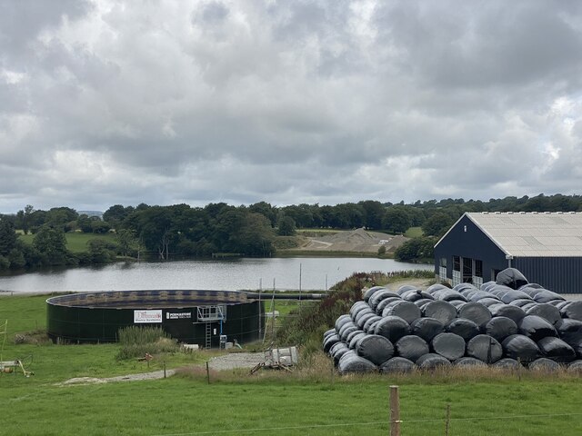
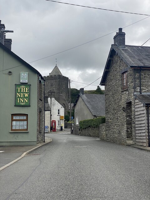
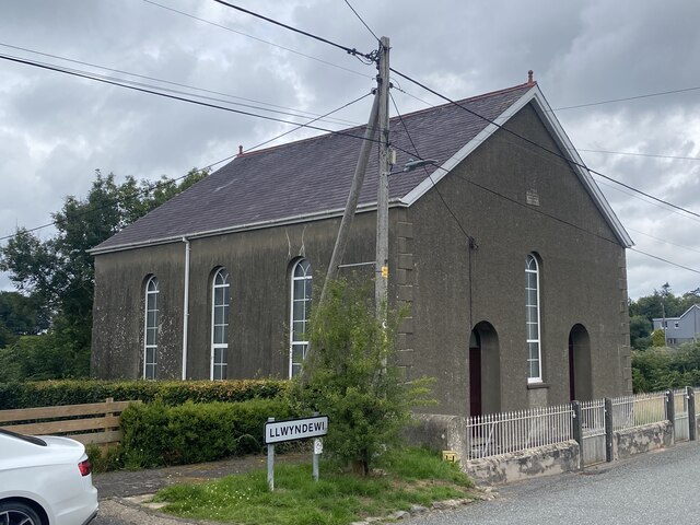
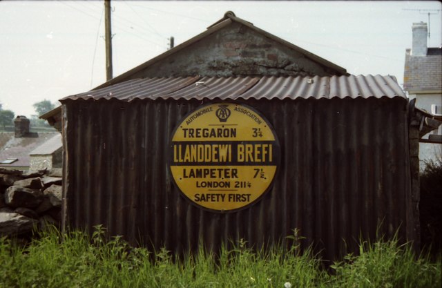
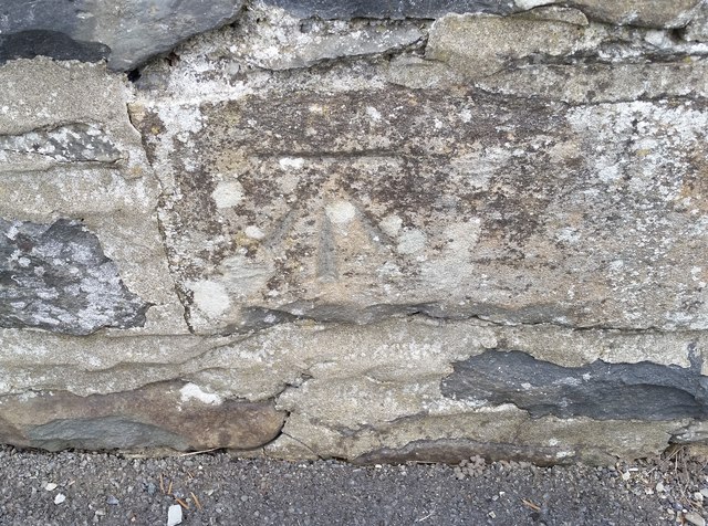
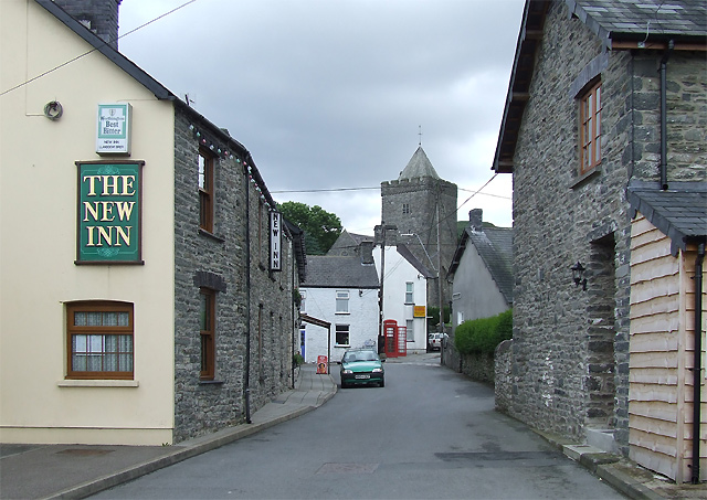
Allt Ddu Images

Images are sourced within 2km of 52.195086/-3.9687947 or Grid Reference SN6557. Thanks to Geograph Open Source API. All images are credited.

A485 near Tomen Llanio
A485 at Llanio-Fawr Farm
A485 near Llanio-isaf
B4343 along the Teifi valley
Woodland track near Abercarfan
Entrance to Tancnwch
Pant Farm
Pant Farm
The New Inn, Llanddewi Brefi
Capel Bethlehem Non-conformist chapel in Llwyndewi.
Capel Bethlehem
Non-conformist chapel in Llwyndewi.
An old AA information sign at Llanddewi Brefi
Ordnance Survey Cut Mark This OS cut mark can be found on the west face of St David's Church. It marks a point 179.090m above mean sea level.
Ordnance Survey Cut Mark
This OS cut mark can be found on the west face of St David's Church. It marks a point 179.090m above mean sea level.
Ordnance Survey Cut Mark This OS cut mark can be found on the SW face of the school. It marks a point 173.530m above mean sea level.
Ordnance Survey Cut Mark
This OS cut mark can be found on the SW face of the school. It marks a point 173.530m above mean sea level.
Ordnance Survey Pivot This OS pivot can be found on the north angle of the barn at Aber-coed Farm. It marks a point 158.250m above mean sea level.
Ordnance Survey Pivot
This OS pivot can be found on the north angle of the barn at Aber-coed Farm. It marks a point 158.250m above mean sea level.
Eroded stony mound near Llanddewi-Brefi in Ceredigion I've watched this feature gradually shrinking since the mid 1990s, when it looked like an eroding drumlin. It is by the arm at Abercarfan, north of Llanddewi-Brefi.
Eroded stony mound near Llanddewi-Brefi in Ceredigion
I've watched this feature gradually shrinking since the mid 1990s, when it looked like an eroding drumlin. It is by the arm at Abercarfan, north of Llanddewi-Brefi.
Glacial deposit near Llanddewi-Brefi, Ceredigion I've watched this feature gradually shrinking since the mid 1990s, when it looked like an eroding drumlin. It is by the arm at Abercarfan, north of Llanddewi-Brefi.
Glacial deposit near Llanddewi-Brefi, Ceredigion
I've watched this feature gradually shrinking since the mid 1990s, when it looked like an eroding drumlin. It is by the arm at Abercarfan, north of Llanddewi-Brefi.
Pasture north of Llanddewi-Brefi in Ceredigion Looking north-west from the B4343 near Abercarfan farm.
Pasture north of Llanddewi-Brefi in Ceredigion
Looking north-west from the B4343 near Abercarfan farm.
Nant Carfan north of Llanddewi-Brefi in Ceredigion Looking north-east, upstream along Nant Carfan, from the B4343 road bridge.
Nant Carfan north of Llanddewi-Brefi in Ceredigion
Looking north-east, upstream along Nant Carfan, from the B4343 road bridge.
Nant Carfan north of Llanddewi-Brefi in Ceredigion Looking north-east, upstream along Nant Carfan, from the B4343 road bridge.
Nant Carfan north of Llanddewi-Brefi in Ceredigion
Looking north-east, upstream along Nant Carfan, from the B4343 road bridge.
Show me another place!

Allt Ddu is located at Grid Ref: SN6557 (Lat: 52.195086, Lng: -3.9687947)

Unitary Authority: Ceredigion

Police Authority: Dyfed Powys

What 3 Words

///victory.dockers.transcribes. Near Tregaron, Ceredigion

Nearby Locations

Allt Ddu

Related Wikis

Pont Llanio railway station

Pont Llanio railway station was a railway station in Wales on the former Carmarthen to Aberystwyth Line near Llanddewi Brefi. The railway station was built...

Llanddewi Brefi

Llanddewi Brefi (Welsh pronunciation: [ɬanˈðɛwi ˈbrɛvi]) is a village, parish and community of approximately 500 people in Ceredigion, Wales. The village...

St David's Church, Llanddewi Brefi

St David's Church is a Grade II* listed medieval church in the Welsh village of Llanddewi Brefi, 3 miles south of Tregaron in the county of Ceredigion...

Llettum-ddu

Llettum-ddu is a hamlet in the community of Tregaron, in the ancient market town of Ceredigion, Wales, which is 61.3 miles (98.6 km) from Cardiff and...

Nearby Amenities

Located within 500m of 52.195086,-3.9687947
Source: npe
Lat/Long: 52.1943268/-3.97525
Created By: POI Editor
Source: npe
Lat/Long: 52.1935839/-3.9713717
Source: npe
Lat/Long: 52.1947968/-3.9678037
Source: npe
Lat/Long: 52.1944151/-3.9659511
Source: npe
Lat/Long: 52.1946518/-3.9646165
Created By: POI Editor
Source: npe
Lat/Long: 52.1938642/-3.9631905
Source: npe
Lat/Long: 52.1939519/-3.9619289
Pont Llanio
Abandoned Railway: station
Railway: site
Source: OS 1:25k
Wikidata: Q7228003
Wikipedia: en:Pont Llanio railway station
Lat/Long: 52.194466/-3.9729625
Natural: peak
Lat/Long: 52.1966924/-3.9686824
Place: farm
Lat/Long: 52.1941787/-3.9723589
The data included in this document is from www.openstreetmap.org. The data is made available under ODbL.

Have you been to Allt Ddu?

Leave your review of Allt Ddu below (or comments, questions and feedback).