Coed Bryn-meddyg

Wood, Forest in Caernarfonshire

Wales

Coed Bryn-meddyg

North Wales Path near Bronydd Isaf Afon Menai and Anglesey can be seen in the background.
North Wales Path near Bronydd Isaf Credit: Hansjoerg Lipp

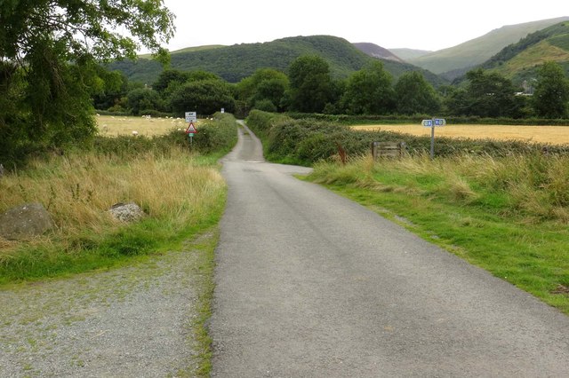
Coed Bryn-meddyg is a beautiful woodland located in Caernarfonshire, a historic county in northwestern Wales. Covering an area of approximately 100 acres, this enchanting forest is a haven for nature lovers and outdoor enthusiasts.

The woodland is characterized by a diverse range of native tree species, including oak, birch, beech, and ash. These towering trees create a dense canopy that provides a cool and tranquil atmosphere, making it an ideal destination for those seeking a peaceful escape from the hustle and bustle of everyday life.

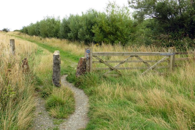
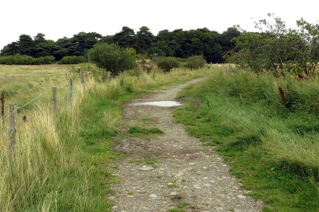
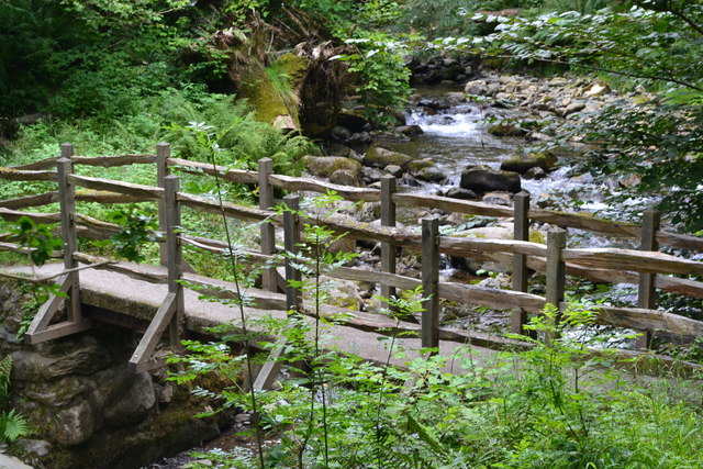
Within the forest, visitors can explore a network of well-maintained footpaths that wind through the trees, offering stunning views of the surrounding landscape. The paths are suitable for walkers of all abilities and provide an opportunity to spot a variety of wildlife, such as squirrels, foxes, and numerous species of birds.

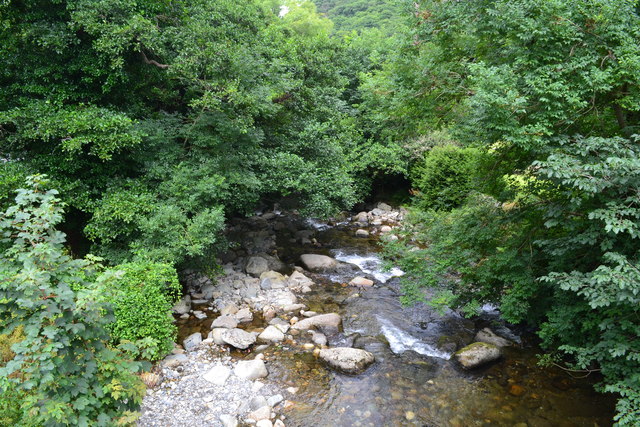
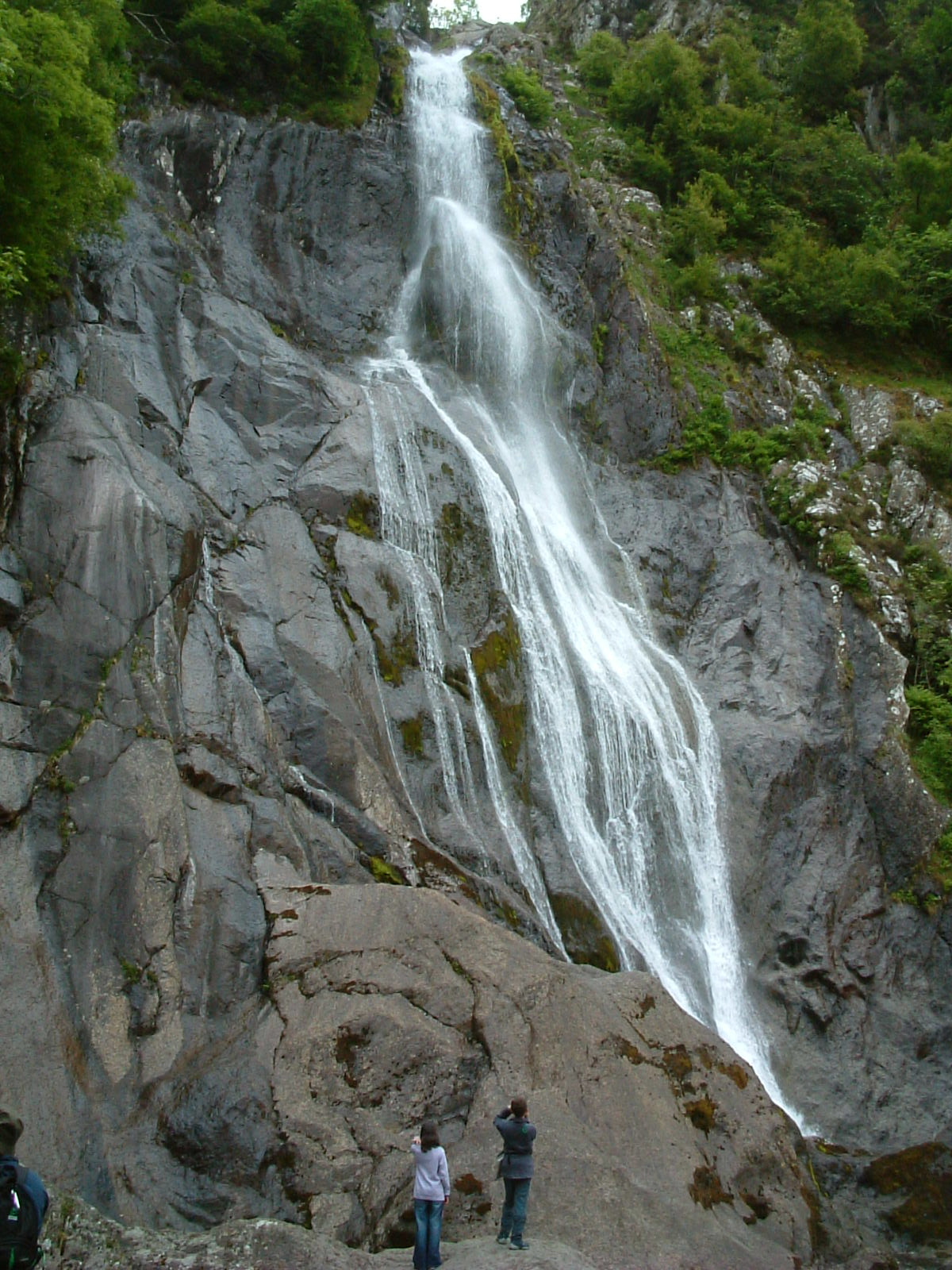
Coed Bryn-meddyg is also home to a small river that meanders through the woodland, adding to its natural beauty. The gentle sound of water flowing over rocks creates a soothing ambiance, further enhancing the overall experience.

As well as its natural attractions, Coed Bryn-meddyg offers a range of amenities for visitors to enjoy. These include picnic areas, seating areas, and parking facilities. The woodland is also easily accessible, with good transportation links and nearby accommodations for those wishing to stay longer.

Overall, Coed Bryn-meddyg in Caernarfonshire is a picturesque woodland that offers a peaceful retreat for nature enthusiasts. With its diverse flora and fauna, well-maintained paths, and serene atmosphere, it is a perfect destination for those seeking solace in the heart of nature.

If you have any feedback on the listing, please let us know in the comments section below.

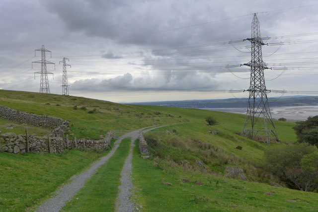
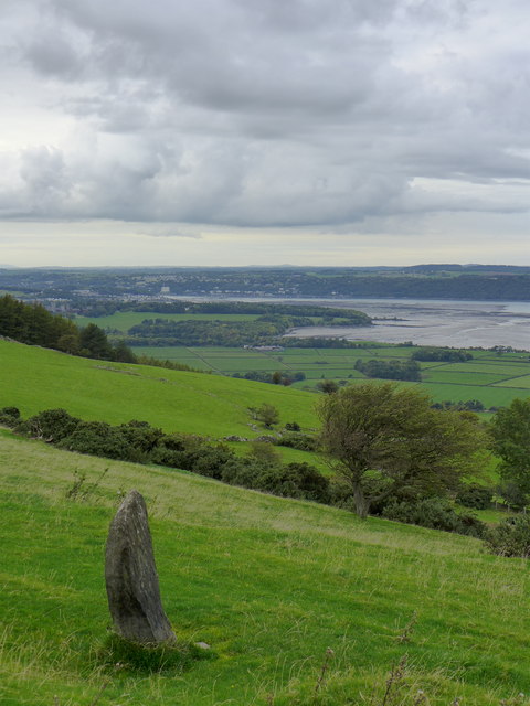
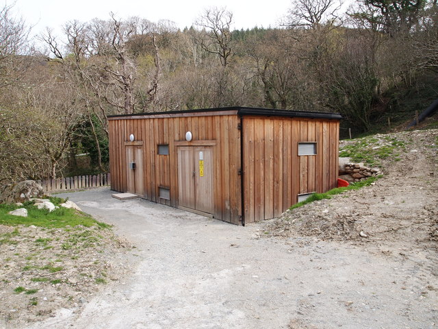
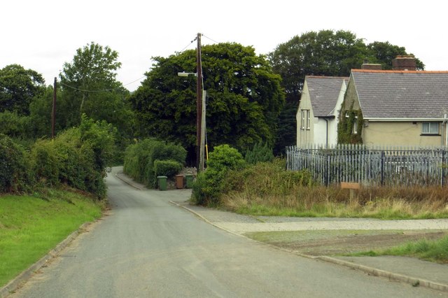
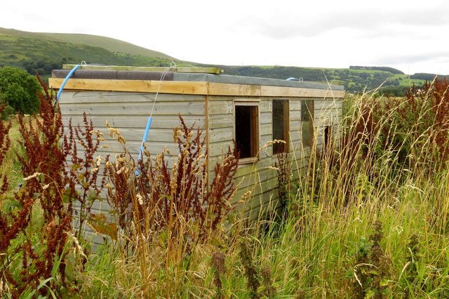
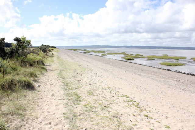
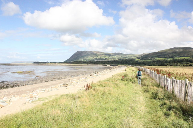
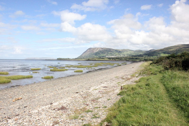
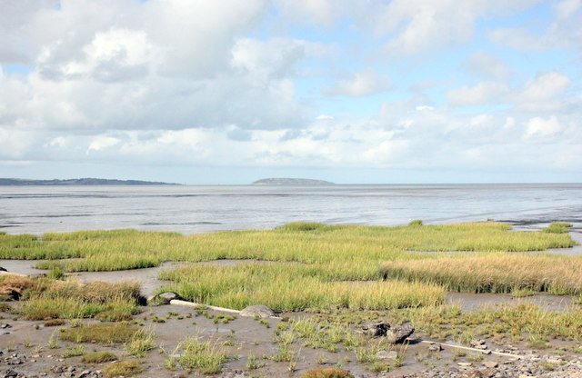
Coed Bryn-meddyg Images

Images are sourced within 2km of 53.229501/-4.0293974 or Grid Reference SH6472. Thanks to Geograph Open Source API. All images are credited.

North Wales Path near Bronydd Isaf Afon Menai and Anglesey can be seen in the background.
North Wales Path near Bronydd Isaf
Afon Menai and Anglesey can be seen in the background.
Fields near Bronydd Isaf
Generator House, Abergwyngregyn Hydro Scheme
Station Road in Abergwyngregyn
Road to Abergwyngregyn
The Wales Coast Path through Morfa Aber
Salt marsh on Morfa Aber
Birdwatching hide at Morfa Aber
Afon Aber
Afon Aber
Footbridge over Afon Aber
View across Traeth Lafan Looking north from the Wales coast path across Traeth Lafan (Lavan Sands) towards Puffin Island and the eastern point of Anglesey.
View across Traeth Lafan
Looking north from the Wales coast path across Traeth Lafan (Lavan Sands) towards Puffin Island and the eastern point of Anglesey.
Traeth Lafan (Lavan Sands) Looking west along Traeth Lafan with Anglesey on the right.
Traeth Lafan (Lavan Sands)
Looking west along Traeth Lafan with Anglesey on the right.
The Wales Coast Path at Pentre-du Heading east along the Wales Coast Path at Pentre-du. In the distance is the mountain of Penmaenmawr.

Wikipedia <span class="nowrap"><a title="https://en.wikipedia.org/wiki/Wales_Coast_Path" rel="nofollow ugc noopener" href="https://en.wikipedia.org/wiki/Wales_Coast_Path">Link</a><img style="margin-left:2px;" alt="External link" title="External link - shift click to open in new window" src="https://s1.geograph.org.uk/img/external.png" width="10" height="10"/></span>
The Wales Coast Path at Pentre-du
Heading east along the Wales Coast Path at Pentre-du. In the distance is the mountain of Penmaenmawr. Wikipedia LinkExternal link
View towards Puffin Island The view north across Traeth Lafan towards Puffin Island from the Wales Coast Path near Pentre-du.
View towards Puffin Island
The view north across Traeth Lafan towards Puffin Island from the Wales Coast Path near Pentre-du.
The Wales Coast Path near Abergwyngregyn The Wales Coast Path heading east away from Abergwyngregyn.

Wikipedia <span class="nowrap"><a title="https://en.wikipedia.org/wiki/Wales_Coast_Path" rel="nofollow ugc noopener" href="https://en.wikipedia.org/wiki/Wales_Coast_Path">Link</a><img style="margin-left:2px;" alt="External link" title="External link - shift click to open in new window" src="https://s1.geograph.org.uk/img/external.png" width="10" height="10"/></span>
The Wales Coast Path near Abergwyngregyn
The Wales Coast Path heading east away from Abergwyngregyn. Wikipedia LinkExternal link
Footbridge over the Afon Aber Footbridge carrying the Wales Coast Path over the Afon Aber near Abergwyngregyn.

The Wales Coast Path heading west between Abergwyngregyn and Aber-Ogwen.

Wikipedia <span class="nowrap"><a title="https://en.wikipedia.org/wiki/Wales_Coast_Path" rel="nofollow ugc noopener" href="https://en.wikipedia.org/wiki/Wales_Coast_Path">Link</a><img style="margin-left:2px;" alt="External link" title="External link - shift click to open in new window" src="https://s1.geograph.org.uk/img/external.png" width="10" height="10"/></span>
Footbridge over the Afon Aber
Footbridge carrying the Wales Coast Path over the Afon Aber near Abergwyngregyn. The Wales Coast Path heading west between Abergwyngregyn and Aber-Ogwen. Wikipedia LinkExternal link
Show me another place!

Coed Bryn-meddyg is located at Grid Ref: SH6472 (Lat: 53.229501, Lng: -4.0293974)

Unitary Authority: Gwynedd

Police Authority: North Wales

What 3 Words

///synthetic.disco.hack. Near Aber, Gwynedd

Nearby Locations

Coed Bryn-meddyg

Related Wikis

Coedydd Aber National Nature Reserve

Coedydd Aber National Nature Reserve lies tucked away in a steep valley on the northern flanks of the Carneddau mountains, roughly midway between Bangor...

Abergwyngregyn

Abergwyngregyn (Welsh: [abɛrɡwɨnˈɡrɛɡɨn]) is a village and community of historical note in Gwynedd, a county and principal area in Wales. Under its historic...

Powys Wenwynwyn

Powys Wenwynwyn or Powys Cyfeiliog was a Welsh kingdom which existed during the high Middle Ages. The realm was the southern portion of the former princely...

Kingdom of Powys

The Kingdom of Powys (Welsh: Teyrnas Powys; Latin: Regnum Poysiae) was a Welsh successor state, petty kingdom and principality that emerged during the...

Nearby Amenities

Located within 500m of 53.229501,-4.0293974
Glyn
Is In: Gwynedd,Cymru,Wales,UK
Place: hamlet
Lat/Long: 53.2277232/-4.0303708
Motorway Junction
Noref: yes
Lat/Long: 53.2304316/-4.0336562
Power: pole
Lat/Long: 53.2268763/-4.0354237
Power: pole
Lat/Long: 53.2299072/-4.0258486
Power: pole
Lat/Long: 53.2295947/-4.026838
Power: pole
Lat/Long: 53.2315455/-4.0271303
Power: pole
Lat/Long: 53.2292714/-4.027863
Power: pole
Lat/Long: 53.2305928/-4.0256635
Power: pole
Lat/Long: 53.2272232/-4.0343106
Power: pole
Lat/Long: 53.2276208/-4.0330664
Power: pole
Lat/Long: 53.2306843/-4.0234078
Power: pole
Lat/Long: 53.2302498/-4.0247914
Power: pole
Lat/Long: 53.2309321/-4.0265375
Power: pole
Lat/Long: 53.2280276/-4.0317759
Power: pole
Lat/Long: 53.2284124/-4.030572
Power: pole
Lat/Long: 53.228809/-4.0293006
Power: pole
Lat/Long: 53.2313009/-4.0225192
Power: pole
Lat/Long: 53.2320316/-4.0276113
Power: pole
Lat/Long: 53.2317494/-4.0286572
Power: pole
Lat/Long: 53.2314985/-4.0293027
The data included in this document is from www.openstreetmap.org. The data is made available under ODbL.

Have you been to Coed Bryn-meddyg?

Leave your review of Coed Bryn-meddyg below (or comments, questions and feedback).