Coed Glandwr
Wood, Forest in Merionethshire
Wales
Coed Glandwr
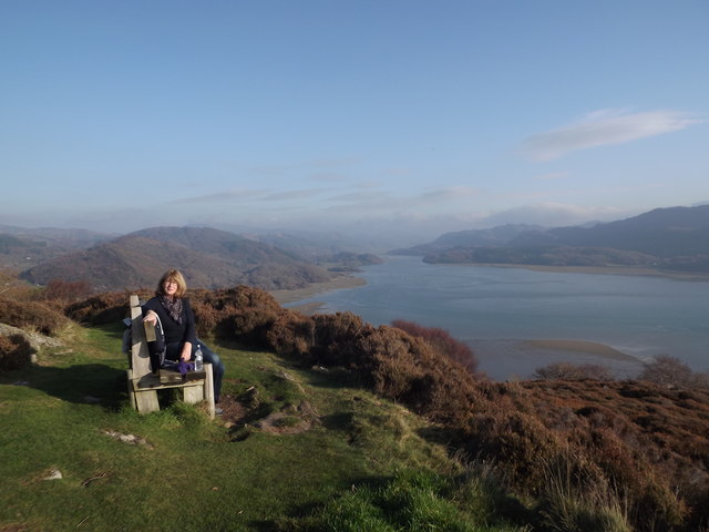
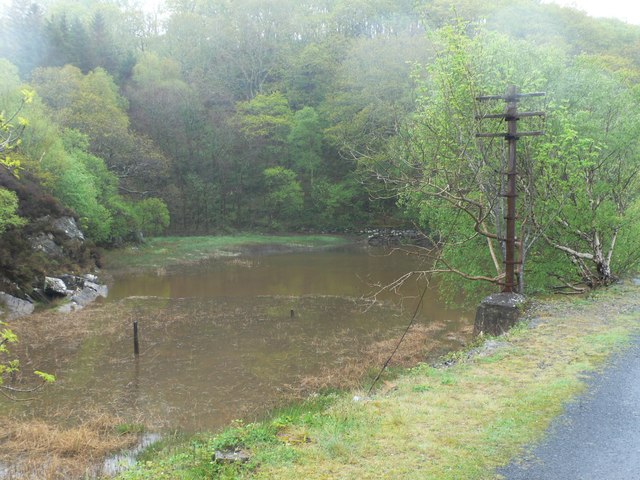
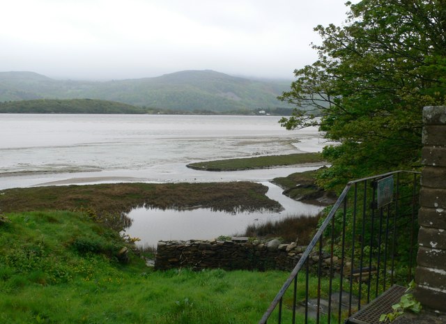
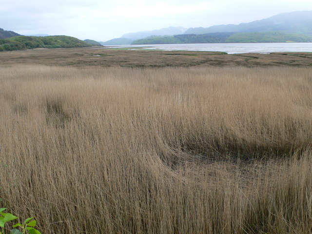
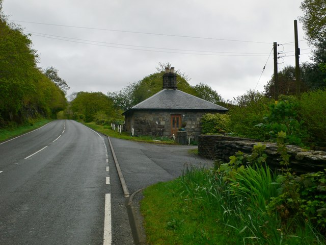
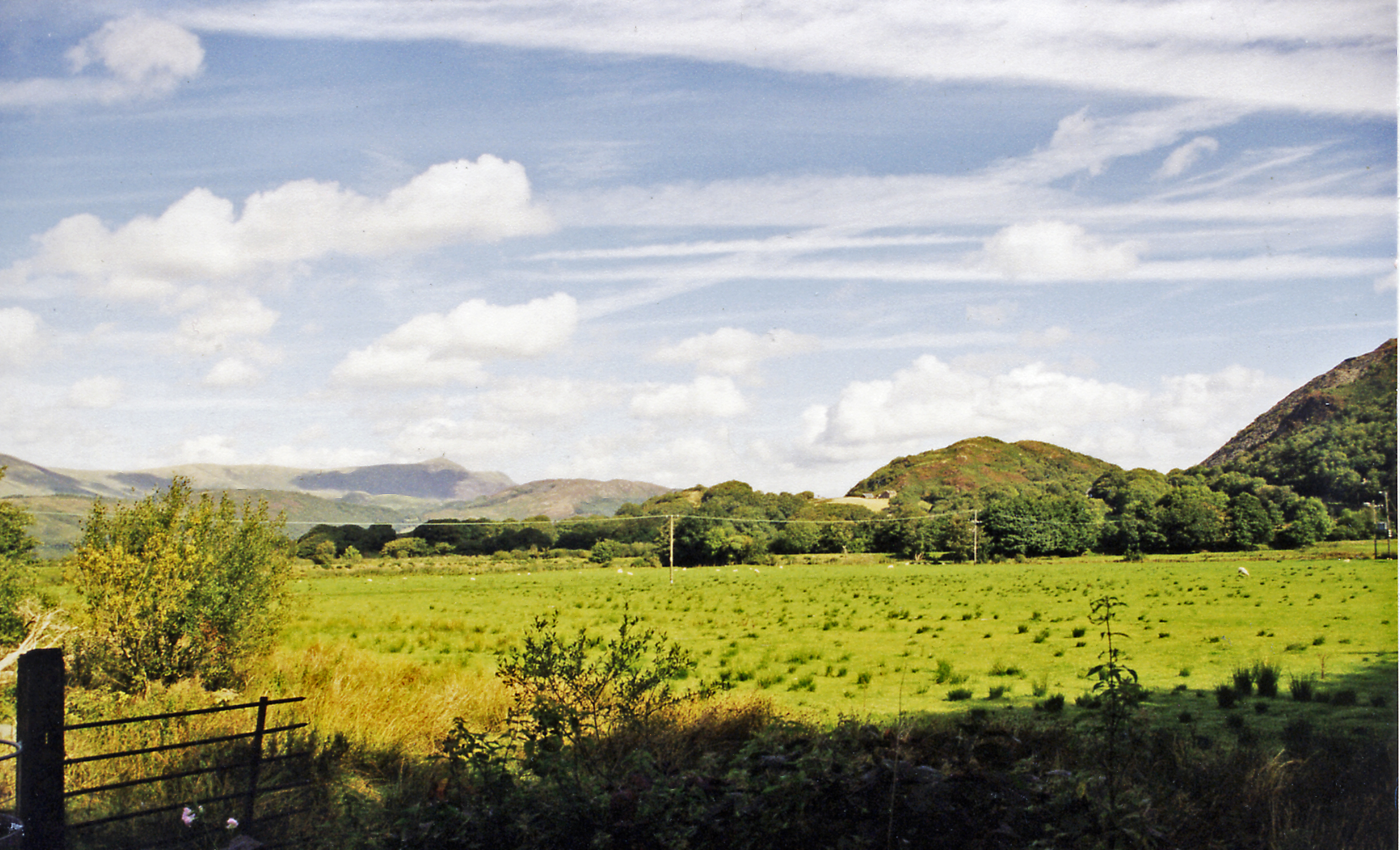
Coed Glandwr, located in Merionethshire, Wales, is a picturesque forest known for its natural beauty and rich biodiversity. Covering an area of approximately 100 hectares, this enchanting woodland is nestled within the scenic landscapes of Snowdonia National Park.
The forest is characterized by a diverse mix of tree species, including oak, beech, ash, and birch, which create a lush and vibrant canopy. The forest floor is adorned with a carpet of ferns, wildflowers, and mosses, adding to the enchanting atmosphere.
Coed Glandwr is renowned for its tranquil ambiance and is a popular destination for nature lovers, hikers, and birdwatchers. The forest provides a haven for various wildlife species, including red squirrels, pine martens, and a plethora of bird species such as woodpeckers, nuthatches, and warblers. The area is a designated Site of Special Scientific Interest (SSSI) due to its significant ecological value.
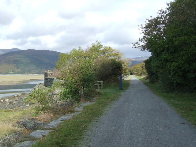
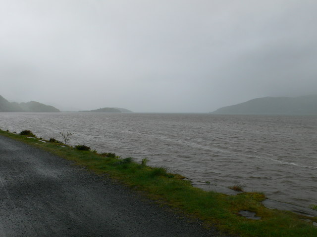
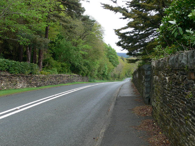
Visitors can explore the forest through a network of well-maintained trails that wind through the woodland, providing opportunities to immerse oneself in the serene surroundings. The paths offer stunning views of the surrounding mountains and valleys, making it a perfect place for photographers and nature enthusiasts.
Coed Glandwr is not only a natural gem but also holds historical significance. The forest has remnants of ancient settlements and features, including a Bronze Age burial mound, which adds a touch of mystery and intrigue to the site.
In summary, Coed Glandwr is a captivating woodland in Merionethshire, Wales, offering a tranquil retreat for nature enthusiasts. With its diverse flora and fauna, scenic trails, and historical features, it is a must-visit destination for those seeking solace in nature's embrace.
If you have any feedback on the listing, please let us know in the comments section below.
Coed Glandwr Images
Images are sourced within 2km of 52.736809/-4.0188411 or Grid Reference SH6317. Thanks to Geograph Open Source API. All images are credited.


Coed Glandwr is located at Grid Ref: SH6317 (Lat: 52.736809, Lng: -4.0188411)
Unitary Authority: Gwynedd
Police Authority: North Wales
What 3 Words
///good.banquets.fuel. Near Barmouth, Gwynedd
Nearby Locations
Related Wikis

Tyn-y-Coed Farmhouse
Tyn-y-Coed Farmhouse is a grade II Listed Building in Caerdeon, Barmouth, Gwynedd. This Georgian farm house was built in 1756 and later extended and altered...

St Philip's Church, Caerdeon
St Philip's Church, Caerdeon, near Barmouth, in Gwynedd, North Wales, is a redundant church and a Grade I listed building. The church was built in 1862...
Arthog railway station
Arthog railway station in Gwynedd, Wales, was a station on the Dolgelly [sic] branch of the Aberystwith and Welsh Coast Railway (part of the Ruabon to...
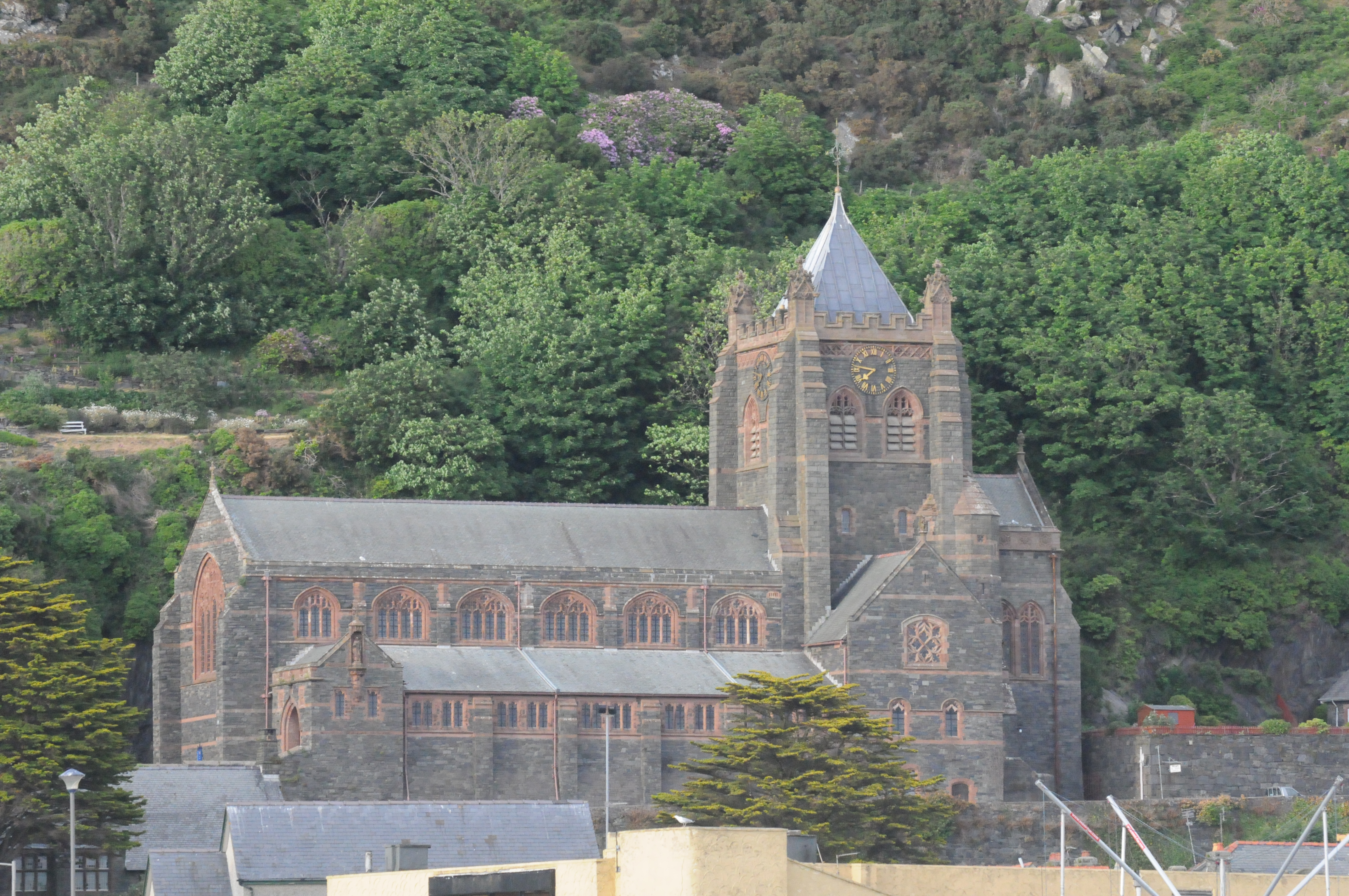
St John's Church, Barmouth
St John's Church, Barmouth, Gwynedd, Wales was built between 1889 and 1895 and designed by the Chester architects Douglas and Fordham. The foundation stone...

St Tudwal's Church, Barmouth
St Tudwal's Church is a Roman Catholic parish church in Barmouth, Gwynedd. It is situated on the King Edward Road leading from Barmouth to Llanaber. It...

Barmouth Bridge
Barmouth Bridge (Welsh: Pont Abermaw), or Barmouth Viaduct is a Grade II* listed single-track wooden railway viaduct across the estuary of the River Mawddach...
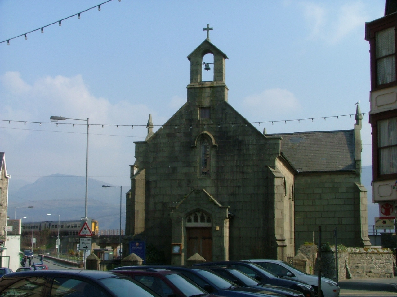
St David's Church, Barmouth
St David's Church is a Church in Wales church by the harbour of Barmouth, Gwynedd, west Wales. It is part of the Bro Ardudwy Ministry Area. == History... ==

Barmouth
Barmouth (Welsh: Abermaw (formal); Y Bermo (colloquial)) is a seaside town and community in the county of Gwynedd, north-west Wales; it lies on the estuary...
Nearby Amenities
Located within 500m of 52.736809,-4.0188411Have you been to Coed Glandwr?
Leave your review of Coed Glandwr below (or comments, questions and feedback).