Burnt Mills
Settlement in Essex Basildon
England
Burnt Mills

Burnt Mills is a small village located in the county of Essex, England. Situated near the town of Basildon, it is nestled within the scenic surroundings of the River Crouch and the Great Burstead and South Green Parish. With a population of around 1,200 residents, Burnt Mills offers a tranquil and close-knit community atmosphere.
The village derives its name from the historic Burnt Mills Farm, which was a prominent local landmark in the 19th century. Once a thriving industrial area, Burnt Mills was home to numerous water-powered mills that catered to the local textile and paper industries. While these mills are no longer in operation, their legacy is still evident in the area's architecture and historical significance.
Burnt Mills boasts a range of amenities to cater to the needs of its residents. These include a primary school, community center, local shops, and a welcoming pub. The village also benefits from its proximity to Basildon, which offers a wider range of services and amenities, including shopping centers, hospitals, and leisure facilities.
Nature enthusiasts can enjoy the picturesque landscape surrounding Burnt Mills. The nearby River Crouch provides opportunities for boating, fishing, and walking along its banks. Additionally, the village is within easy reach of several nature reserves and parks, offering a haven for wildlife and recreational activities.
With excellent transport links, Burnt Mills is well-connected to neighboring towns and cities. The A127 and A13 roads provide convenient access to London, while the nearby Basildon railway station offers regular train services to the capital and other destinations.
Overall, Burnt Mills offers a peaceful and picturesque setting, combined with convenient access to amenities and transport links, making it an attractive place to live for those seeking a blend of rural charm and urban convenience.
If you have any feedback on the listing, please let us know in the comments section below.
Burnt Mills Images
Images are sourced within 2km of 51.587403/0.50916 or Grid Reference TQ7390. Thanks to Geograph Open Source API. All images are credited.


Burnt Mills is located at Grid Ref: TQ7390 (Lat: 51.587403, Lng: 0.50916)
Administrative County: Essex
District: Basildon
Police Authority: Essex
What 3 Words
///pipe.cost.amount. Near Wickford, Essex
Nearby Locations
Related Wikis

Northlands Park, Basildon
Northlands Park is a park in Basildon, Essex, England. == History of the park == Basildon Northlands Park was created by Basildon Development Corporation...
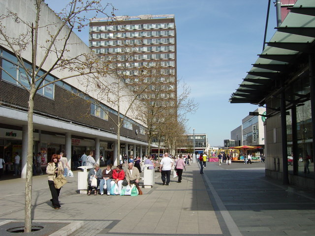
Basildon
Basildon ( BAZ-il-dən) is the largest town in the borough of Basildon, within the county of Essex, England. It had a recorded population of 107,123. In...

Hashtag United F.C.
Hashtag United Football Club is a semi-professional football club based in Essex, England. They are currently members of the Isthmian League Premier Division...
Bowers & Pitsea F.C.
Bowers & Pitsea Football Club is a football club based in Pitsea, Essex, England. The club are currently members of the Isthmian League North Division...

Fryerns Comprehensive School
Fryerns Comprehensive School , also known as Fryerns Community School, was a mixed intake secondary school in Basildon, Essex that opened in 1956. The...
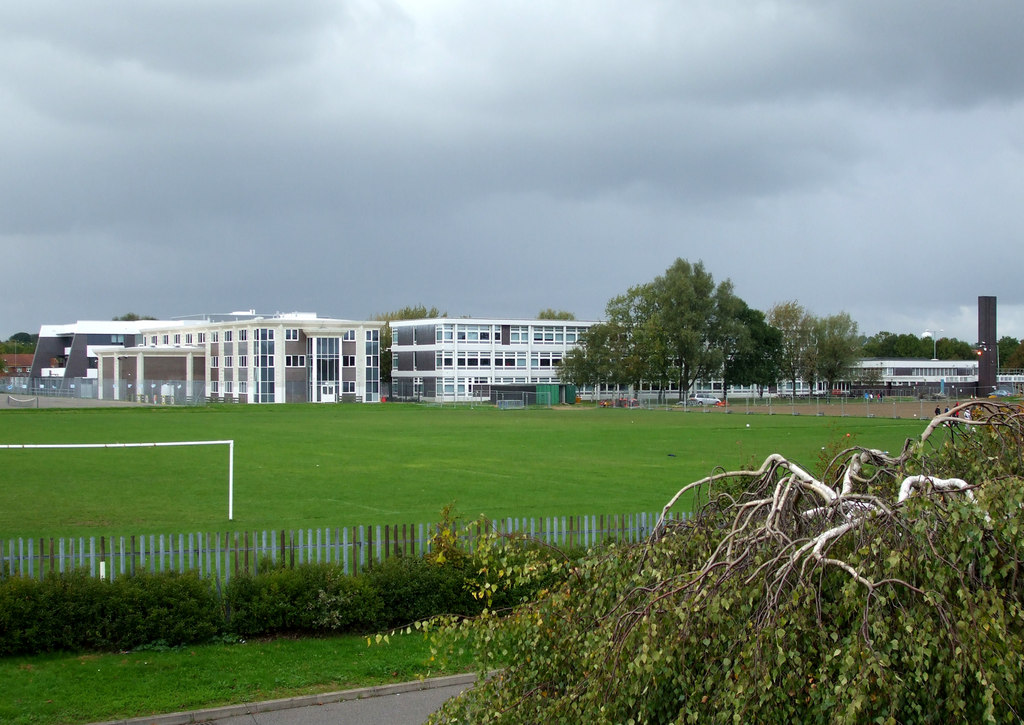
The Bromfords School
The Bromfords School is a coeducational secondary school and sixth form with academy status, located in Wickford, Essex, England. Most pupils live in Wickford...
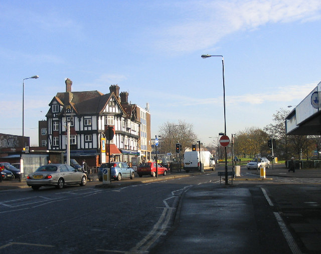
Pitsea
Pitsea is a town and former civil parish in the Borough of Basildon in south Essex, England. It comprises five sub-districts: Eversley, Northlands Park...
Barstable School
The Barstable School was a mixed intake secondary school in Basildon, Essex. It closed in 2009 to become a founding member of the Basildon Academies....
Nearby Amenities
Located within 500m of 51.587403,0.50916Have you been to Burnt Mills?
Leave your review of Burnt Mills below (or comments, questions and feedback).