Coed Derw

Wood, Forest in Merionethshire

Wales

Coed Derw

Aberdyfi Information Centre
Aberdyfi Information Centre Credit: Alpin Stewart

Coed Derw, located in Merionethshire, Wales, is a picturesque woodland area renowned for its natural beauty and diverse wildlife. Covering an expansive area, the forest is characterized by its dense canopy of oak trees, providing a serene and tranquil environment for visitors.

The woodland is home to a variety of flora and fauna, making it a haven for nature enthusiasts and wildlife lovers. Visitors to Coed Derw can expect to encounter a range of bird species, including red kites, buzzards, and woodpeckers, as well as mammals such as badgers, foxes, and deer.

The forest offers numerous walking trails and paths, allowing visitors to explore the woodland at their own pace and discover its hidden gems. The well-maintained trails provide a mix of easy strolls and more challenging hikes, catering to all levels of fitness and experience.

Coed Derw also provides a host of recreational activities for outdoor enthusiasts. The forest is a popular destination for mountain biking, with dedicated trails that wind through the woodland, offering thrilling descents and exciting challenges for riders of all abilities. Additionally, the forest boasts picnic areas and camping spots, allowing visitors to immerse themselves fully in the natural surroundings.

With its stunning landscapes and abundant wildlife, Coed Derw in Merionethshire offers a captivating experience for nature lovers and outdoor enthusiasts alike. Whether it's a leisurely walk, an adrenaline-fueled bike ride, or simply a moment of tranquility amidst nature, Coed Derw provides a memorable escape from the hustle and bustle of everyday life.

If you have any feedback on the listing, please let us know in the comments section below.
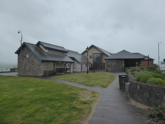
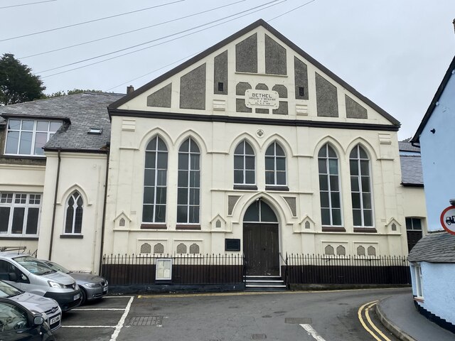
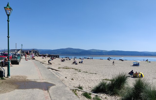
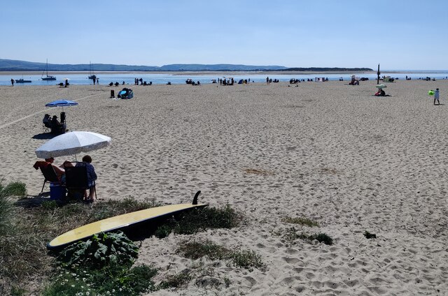
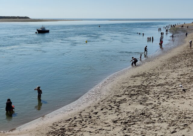
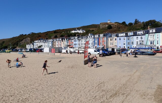
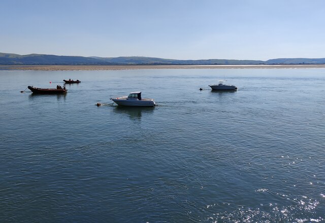
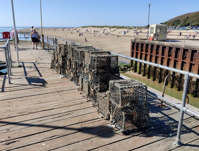
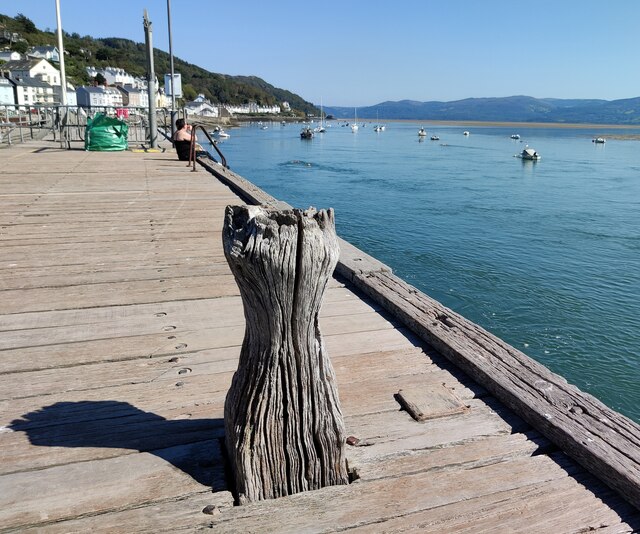
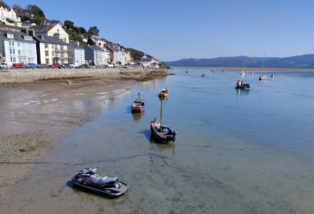
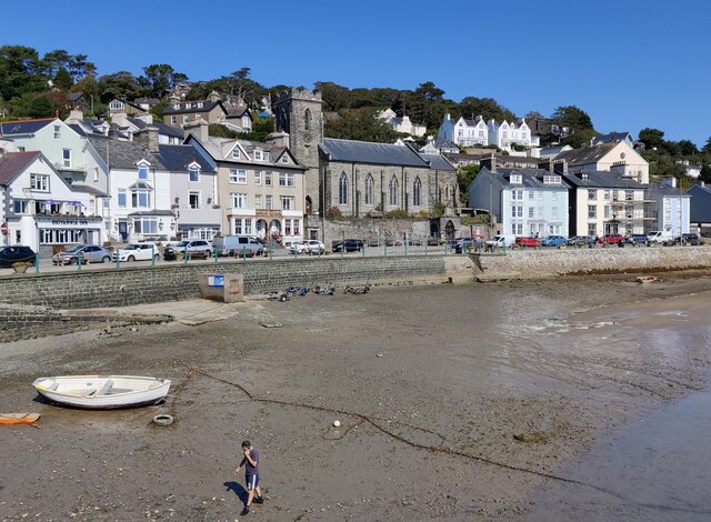
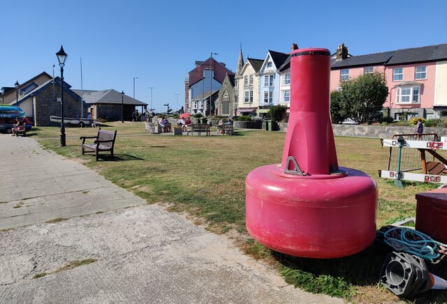
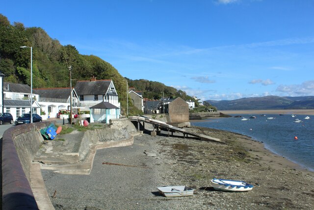
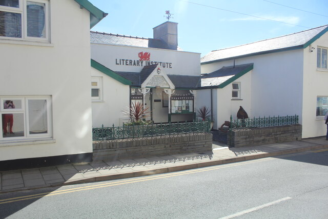
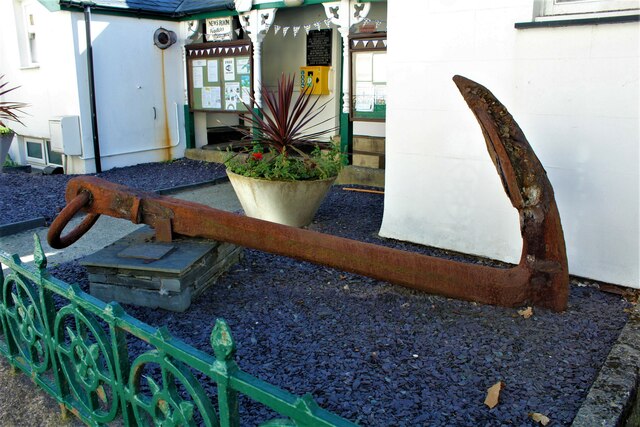
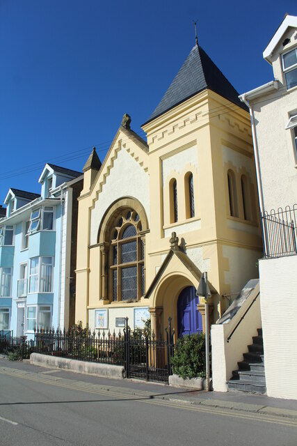
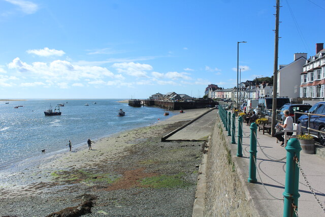
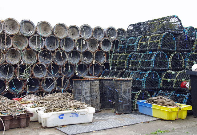
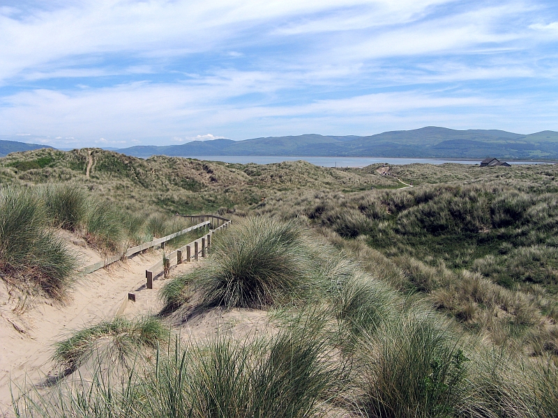
Coed Derw Images

Images are sourced within 2km of 52.550477/-4.0219276 or Grid Reference SN6396. Thanks to Geograph Open Source API. All images are credited.

Aberdyfi Information Centre
Wesleyan Chapel, Aberdyfi
Beach and promenade at Aberdovey
The beach at Aberdovey
Boats moored on the River Dovey The River Dovey (Afon Dyfi) is a river in Mid Wales. The Dovey estuary forms the border between the counties of Gwynedd and Ceredigion.
The Dovey rises in the small lake Creiglyn Dyfi at about 1,900 feet above sea level, below Aran Fawddwy, flowing south to Dinas Mawddwy and Cemmaes Road, then south west past Machynlleth to Cardigan Bay at Aberdyfi. It shares its watershed with the River Severn and the River Dee before flowing generally south-westwards down to a wide estuary. The only large town on its route is Machynlleth.
Because of its origins high in the Cambrian Mountains and its relatively short length, it is prone to flooding and some roads in the lower catchment can become impassable during very wet weather. It has been a relatively pristine river with few polluting inputs and is notable for its Salmon and Sea Trout.
Boats moored on the River Dovey
The River Dovey (Afon Dyfi) is a river in Mid Wales. The Dovey estuary forms the border between the counties of Gwynedd and Ceredigion. The Dovey rises in the small lake Creiglyn Dyfi at about 1,900 feet above sea level, below Aran Fawddwy, flowing south to Dinas Mawddwy and Cemmaes Road, then south west past Machynlleth to Cardigan Bay at Aberdyfi. It shares its watershed with the River Severn and the River Dee before flowing generally south-westwards down to a wide estuary. The only large town on its route is Machynlleth. Because of its origins high in the Cambrian Mountains and its relatively short length, it is prone to flooding and some roads in the lower catchment can become impassable during very wet weather. It has been a relatively pristine river with few polluting inputs and is notable for its Salmon and Sea Trout.
Lobster pots on the wharf at Aberdovey
Wharf on the River Dovey at Aberdovey
Boats moored at Aberdovey The River Dovey (Afon Dyfi) is a river in Mid Wales. The Dovey estuary forms the border between the counties of Gwynedd and Ceredigion.
The Dovey rises in the small lake Creiglyn Dyfi at about 1,900 feet above sea level, below Aran Fawddwy, flowing south to Dinas Mawddwy and Cemmaes Road, then south west past Machynlleth to Cardigan Bay at Aberdyfi. It shares its watershed with the River Severn and the River Dee before flowing generally south-westwards down to a wide estuary. The only large town on its route is Machynlleth.
Because of its origins high in the Cambrian Mountains and its relatively short length, it is prone to flooding and some roads in the lower catchment can become impassable during very wet weather. It has been a relatively pristine river with few polluting inputs and is notable for its Salmon and Sea Trout.
Boats moored at Aberdovey
The River Dovey (Afon Dyfi) is a river in Mid Wales. The Dovey estuary forms the border between the counties of Gwynedd and Ceredigion. The Dovey rises in the small lake Creiglyn Dyfi at about 1,900 feet above sea level, below Aran Fawddwy, flowing south to Dinas Mawddwy and Cemmaes Road, then south west past Machynlleth to Cardigan Bay at Aberdyfi. It shares its watershed with the River Severn and the River Dee before flowing generally south-westwards down to a wide estuary. The only large town on its route is Machynlleth. Because of its origins high in the Cambrian Mountains and its relatively short length, it is prone to flooding and some roads in the lower catchment can become impassable during very wet weather. It has been a relatively pristine river with few polluting inputs and is notable for its Salmon and Sea Trout.
Beach at Aberdovey The River Dovey (Afon Dyfi) is a river in Mid Wales. The Dovey estuary forms the border between the counties of Gwynedd and Ceredigion.
The Dovey rises in the small lake Creiglyn Dyfi at about 1,900 feet above sea level, below Aran Fawddwy, flowing south to Dinas Mawddwy and Cemmaes Road, then south west past Machynlleth to Cardigan Bay at Aberdyfi. It shares its watershed with the River Severn and the River Dee before flowing generally south-westwards down to a wide estuary. The only large town on its route is Machynlleth.
Because of its origins high in the Cambrian Mountains and its relatively short length, it is prone to flooding and some roads in the lower catchment can become impassable during very wet weather. It has been a relatively pristine river with few polluting inputs and is notable for its Salmon and Sea Trout.
Beach at Aberdovey
The River Dovey (Afon Dyfi) is a river in Mid Wales. The Dovey estuary forms the border between the counties of Gwynedd and Ceredigion. The Dovey rises in the small lake Creiglyn Dyfi at about 1,900 feet above sea level, below Aran Fawddwy, flowing south to Dinas Mawddwy and Cemmaes Road, then south west past Machynlleth to Cardigan Bay at Aberdyfi. It shares its watershed with the River Severn and the River Dee before flowing generally south-westwards down to a wide estuary. The only large town on its route is Machynlleth. Because of its origins high in the Cambrian Mountains and its relatively short length, it is prone to flooding and some roads in the lower catchment can become impassable during very wet weather. It has been a relatively pristine river with few polluting inputs and is notable for its Salmon and Sea Trout.
Buoy on a small green at Aberdovey
Slipway at Aberdovey
Literary Institute Aberdovey Set back from the south side of the A493. The village website records that the Literary Institute is one of the few buildings on the river/sea side of Aberdovey. It has had a long and chequered history. Founded in 1882, it was formerly an old bath house and a meeting place of the Plymouth Brethren. Nowadays its reading room is open to the public who are invited to enjoy the peace and tranquillity here while reading the daily papers. It was closed for a meeting on the day I visited. WiFi connections are available.
For a more detailed insight see <span class="nowrap"><a title="https://aberdoveyliteraryinstitute.org/" rel="nofollow ugc noopener" href="https://aberdoveyliteraryinstitute.org/">Link</a><img style="margin-left:2px;" alt="External link" title="External link - shift click to open in new window" src="https://s1.geograph.org.uk/img/external.png" width="10" height="10"/></span>
Literary Institute Aberdovey
Set back from the south side of the A493. The village website records that the Literary Institute is one of the few buildings on the river/sea side of Aberdovey. It has had a long and chequered history. Founded in 1882, it was formerly an old bath house and a meeting place of the Plymouth Brethren. Nowadays its reading room is open to the public who are invited to enjoy the peace and tranquillity here while reading the daily papers. It was closed for a meeting on the day I visited. WiFi connections are available. For a more detailed insight see LinkExternal link
Anchor at Literary Institute Apparently found in the River Dyfi in 1973.
Anchor at Literary Institute
Apparently found in the River Dyfi in 1973.
The English Chapel - Presbyterian Church of Wales Aberdyfi The chapel was established at the end of the 19th Century for the increasing number of English speakers who came to Aberdovey with the development of the railway.
The English Chapel - Presbyterian Church of Wales Aberdyfi
The chapel was established at the end of the 19th Century for the increasing number of English speakers who came to Aberdovey with the development of the railway.
View towards the slipway and jetty at Aberdovey River Dovey to the left.
View towards the slipway and jetty at Aberdovey
River Dovey to the left.
Lobster pots & crab net traps, Aberdyfi The smaller cylindrical crab net traps are used for prawns.
Lobster pots & crab net traps, Aberdyfi
The smaller cylindrical crab net traps are used for prawns.
Show me another place!

Coed Derw is located at Grid Ref: SN6396 (Lat: 52.550477, Lng: -4.0219276)

Unitary Authority: Gwynedd

Police Authority: North Wales

What 3 Words

///audibly.just.microchip. Near Tywyn, Gwynedd

Nearby Locations

Aberdyfi Coed Derw Trefri

Related Wikis

Penhelig railway station

Penhelig railway station (Welsh: Penhelyg) serves the eastern outskirts of the seaside resort of Aberdyfi in Gwynedd, Wales. It was opened by the Great...

Aberdyfi

Aberdyfi (Welsh pronunciation: [abɛrˈdəvi]), also known as Aberdovey ( a-bər-DUH-vee), is a village and community in Gwynedd, Wales, located on the northern...

Hen Dyffryn Gwyn

Hen Dyffryn Gwyn is a Grade II* listed building in Tywyn, Gwynedd. The house has been dated to 1640 and is listed for being a well-preserved example of...

Abertafol railway station

Abertafol railway station was a halt located on the north shore of the Dyfi estuary in the old Welsh county of Merionethshire (south Gwynedd). == History... ==

Aberdovey Lifeboat Station

Aberdovey Lifeboat Station (Welsh: Gorsaf Bad Achub Aberdyfi) is an RNLI lifeboat station in the coastal village of Aberdyfi, Gwynedd, West Wales, on the...

Dyfi Estuary Mudflats

Dyfi Estuary Mudflats are mudflats on the estuary of the River Dyfi in Ceredigion, Wales, and are part of the Dyfi National Nature Reserve. == Ecology... ==

Aberdovey railway station

Aberdovey railway station (Welsh: Aberdyfi) serves the seaside resort of Aberdyfi in Gwynedd, Wales. The station is on the Cambrian Coast Railway with...

Ynyslas

Ynyslas (Welsh pronunciation: [ənɨ̞s-lɑs], meaning "Blue Island") is a small Welsh village about 1.5 miles north of Borth and 8 miles north of Aberystwyth...

Related Videos

Glamping in Wales Holiday

A long weekend glamping in Mid Wales.

Four Bedroom Sea Front Holiday Cottage in Aberdovey | Aweldyfi

Happy childhood holiday memories of sandy chips and wooden forks meant I really liked this four bedroom sea front holiday ...

An Introduction To Aberdovey & Aberdovey Breaks...

Hello Aberdovey Followers! Welcome to our short video portraying what this spectacular unspoilt village in Aberdovey, Wales has ...

A panoramic sea view from Aberdovey Hillside Village it pans from east through south to west

This Video illustrates the amazing panoramic sea views enjoyed by guests that stay at Aberdovey Hillside Village, it was taken in ...

Nearby Amenities

Located within 500m of 52.550477,-4.0219276
Source: PGS
Lat/Long: 52.5467414/-4.0255203
Source: PGS
Lat/Long: 52.5472516/-4.0208943
Source: PGS
Lat/Long: 52.5475913/-4.0196787
Source: PGS
Lat/Long: 52.5473076/-4.0176332
Source: PGS
Lat/Long: 52.5473586/-4.0174119
Power: pole
Lat/Long: 52.5541471/-4.0200225
Power: pole
Lat/Long: 52.5535878/-4.0207842
Power: pole
Lat/Long: 52.5530512/-4.0215111
Power: pole
Lat/Long: 52.5521135/-4.0227556
Power: pole
Lat/Long: 52.5515019/-4.0235361
Power: pole
Lat/Long: 52.5509702/-4.0242335
Power: pole
Lat/Long: 52.5509539/-4.0256336
Power: pole
Lat/Long: 52.5509441/-4.0270337
Power: pole
Lat/Long: 52.5509164/-4.0287048
Direction: 170
Generator Method: photovoltaic
Generator Output Electricity: yes
Generator Solar Modules: 24
Generator Source: solar
Generator Type: solar_photovoltaic_panel
Location: roof
Power: generator
Lat/Long: 52.5491403/-4.0251294
The data included in this document is from www.openstreetmap.org. The data is made available under ODbL.

Have you been to Coed Derw?

Leave your review of Coed Derw below (or comments, questions and feedback).