Coed Glan-y-Mawddach
Wood, Forest in Merionethshire
Wales
Coed Glan-y-Mawddach
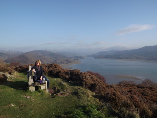
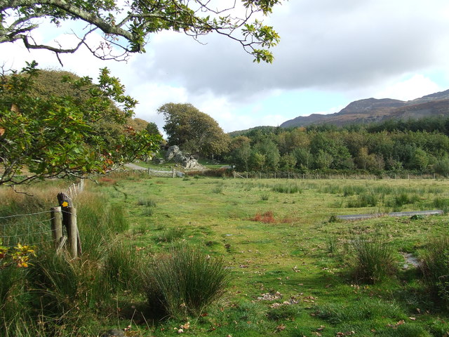
Coed Glan-y-Mawddach, located in Merionethshire, is a picturesque wood or forest area that boasts breathtaking natural beauty and a rich history. Nestled in the heart of Wales, this enchanting woodland is a haven for nature lovers and those seeking tranquility.
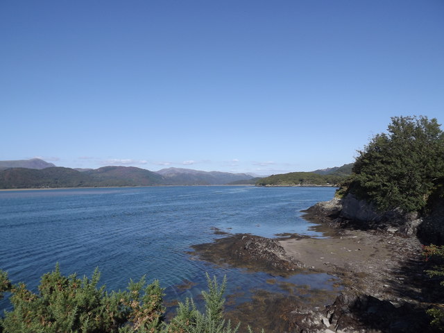
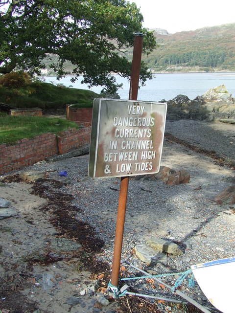
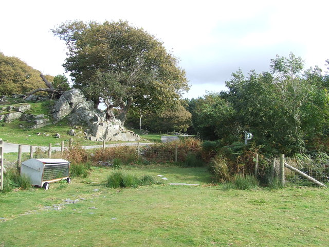
Stretching along the banks of the Mawddach River, Coed Glan-y-Mawddach is home to a diverse range of flora and fauna. The wood is predominantly made up of native broadleaf trees, including oak, ash, and beech, which create a vibrant and colorful canopy throughout the seasons. The forest floor is adorned with a stunning carpet of wildflowers, adding to the area's charm.
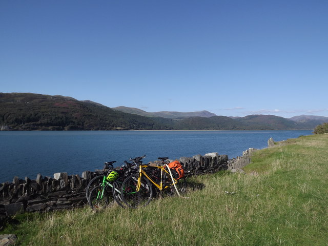
Coed Glan-y-Mawddach offers a variety of walking trails, allowing visitors to explore its beauty at their own pace. The paths wind their way through the wood, offering glimpses of the river and the surrounding countryside. Along the way, there are picnic spots and benches where one can pause and admire the scenery.
The wood has a rich history, with evidence of human activity dating back to the Bronze Age. Ruins of old settlements and ancient burial sites can still be found within its boundaries, providing a glimpse into the lives of the people who once inhabited the area.
Coed Glan-y-Mawddach is a sanctuary for wildlife, with a wide range of birds, mammals, and insects calling it home. Birdwatching enthusiasts can spot species such as woodpeckers, buzzards, and kingfishers, while lucky visitors may even catch a glimpse of otters playing in the river.
In summary, Coed Glan-y-Mawddach is a captivating woodland in Merionethshire that offers a harmonious blend of natural beauty and historical significance. It is a place where visitors can immerse themselves in the wonders of nature and enjoy a peaceful retreat from the hustle and bustle of everyday life.
If you have any feedback on the listing, please let us know in the comments section below.
Coed Glan-y-Mawddach Images
Images are sourced within 2km of 52.731694/-4.0319348 or Grid Reference SH6216. Thanks to Geograph Open Source API. All images are credited.


Coed Glan-y-Mawddach is located at Grid Ref: SH6216 (Lat: 52.731694, Lng: -4.0319348)
Unitary Authority: Gwynedd
Police Authority: North Wales
What 3 Words
///engraving.informs.fish. Near Barmouth, Gwynedd
Nearby Locations
Related Wikis
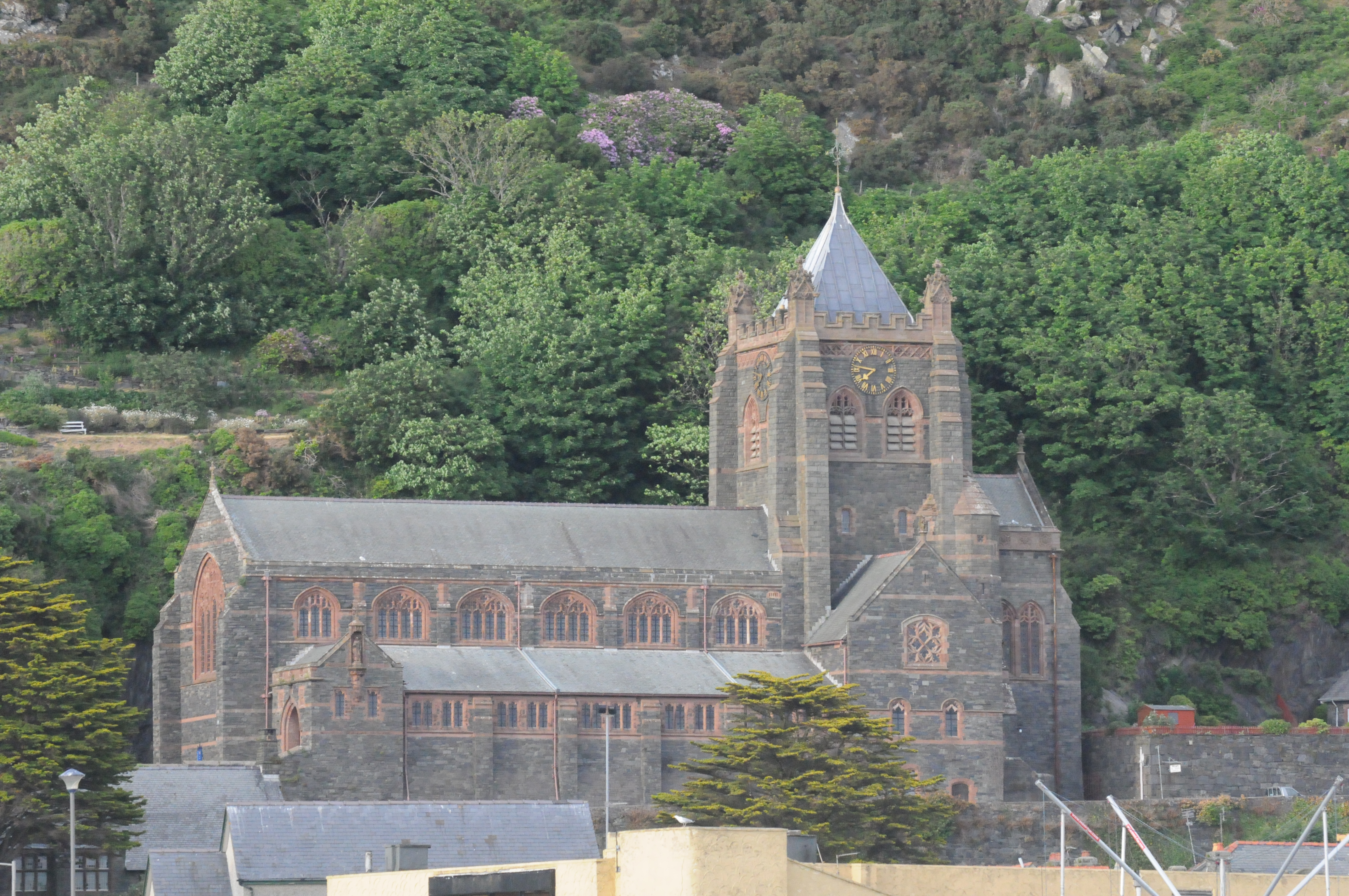
St John's Church, Barmouth
St John's Church, Barmouth, Gwynedd, Wales was built between 1889 and 1895 and designed by the Chester architects Douglas and Fordham. The foundation stone...

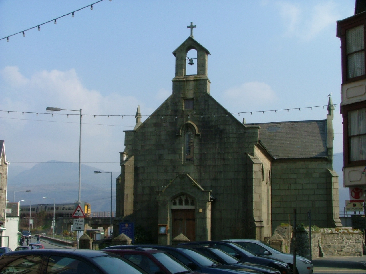
St Tudwal's Church, Barmouth
St Tudwal's Church is a Roman Catholic parish church in Barmouth, Gwynedd. It is situated on the King Edward Road leading from Barmouth to Llanaber. It...
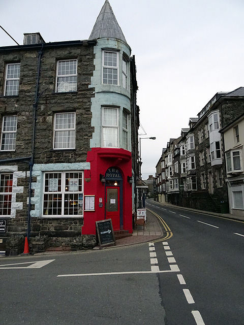
St David's Church, Barmouth
St David's Church is a Church in Wales church by the harbour of Barmouth, Gwynedd, west Wales. It is part of the Bro Ardudwy Ministry Area. == History... ==

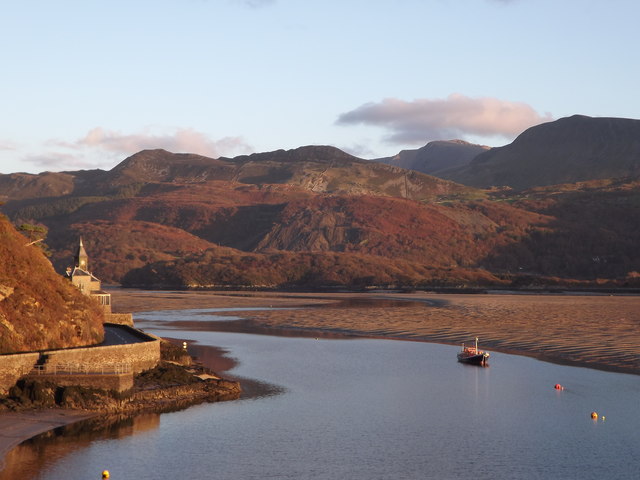
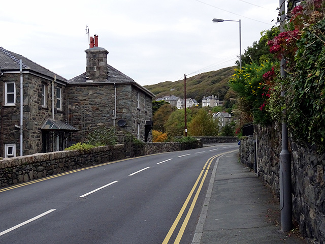
Barmouth
Barmouth (Welsh: Abermaw (formal); Y Bermo (colloquial)) is a seaside town and community in the county of Gwynedd, north-west Wales; it lies on the estuary...

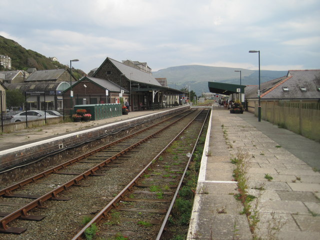
Barmouth railway station
Barmouth railway station serves the seaside town of Barmouth in Gwynedd, Wales. The station is on the Cambrian Coast Railway with passenger services to...

Barmouth Lifeboat Station
Barmouth Lifeboat Station, based in Barmouth, Gwynedd, Wales, was established in the 1820s and the first lifeboat station was constructed in 1828 at a...

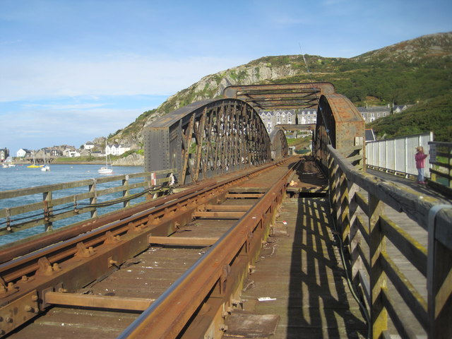
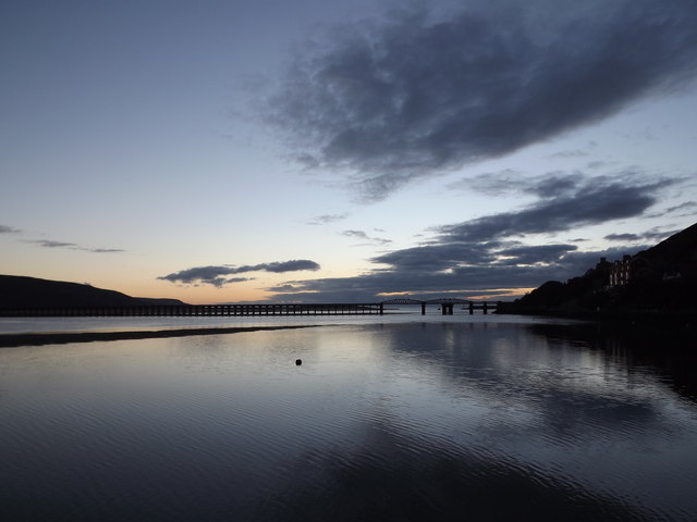
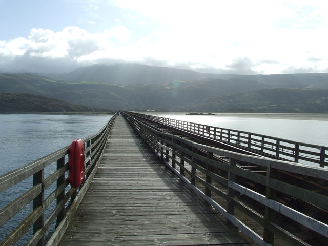
Barmouth Bridge
Barmouth Bridge (Welsh: Pont Abermaw), or Barmouth Viaduct is a Grade II* listed single-track wooden railway viaduct across the estuary of the River Mawddach...

Plas Mynach
Plas Mynach is a large country house in Barmouth, Gwynedd, Wales. It is designated by Cadw as a Grade II* listed building, and stands in a prominent position...
Related Videos

Is Barmouth Worth a Visit? - Seafront Tour, North Wales
The town is on the west coast of Wales, looking out onto Cardigan Bay, in the southern part of Snowdonia. So if you are looking for ...
![Barmouth Harbour, Wales | Walking Tour [4K]](https://i.ytimg.com/vi/_yBp9On00y0/hqdefault.jpg)
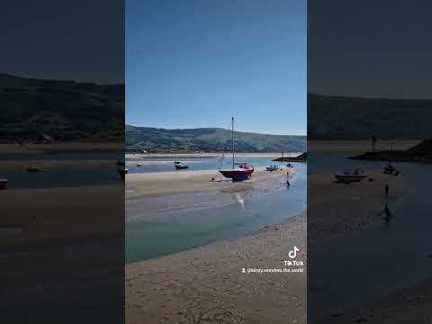
Barmouth Harbour, Wales | Walking Tour [4K]
A plod around the Barmouth Harbour area. Part walking tour with some additional footage thrown in for good measure.
Barmouth | Walking through Amazing Barmouth | Trip to Wales July 2021 EP.4 | อัพเดทแหล่งท่องเที่ยว
Barmouth is a beautiful seaside town in Wales Walking through amazing Barmouth Town. Best place to visit in Wales Vacation in ...
Nearby Amenities
Located within 500m of 52.731694,-4.0319348Have you been to Coed Glan-y-Mawddach?
Leave your review of Coed Glan-y-Mawddach below (or comments, questions and feedback).