Coed Pistyll-gwyn

Wood, Forest in Carmarthenshire

Wales

Coed Pistyll-gwyn

Lle mae pedwar llwybr yn cwrdd / Where four paths meet Lleoliad lle mae pedwar llwybr ceffyl yn cwrdd.

Location where four bridleways meet.
Lle mae pedwar llwybr yn cwrdd / Where four paths meet Credit: Alan Richards

Coed Pistyll-gwyn, located in Carmarthenshire, Wales, is a picturesque woodland area renowned for its natural beauty and tranquil atmosphere. The name "Coed Pistyll-gwyn" translates to "White Waterfall Wood," which aptly describes the enchanting features of this forested area.

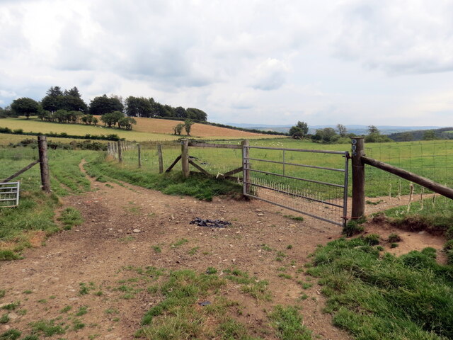
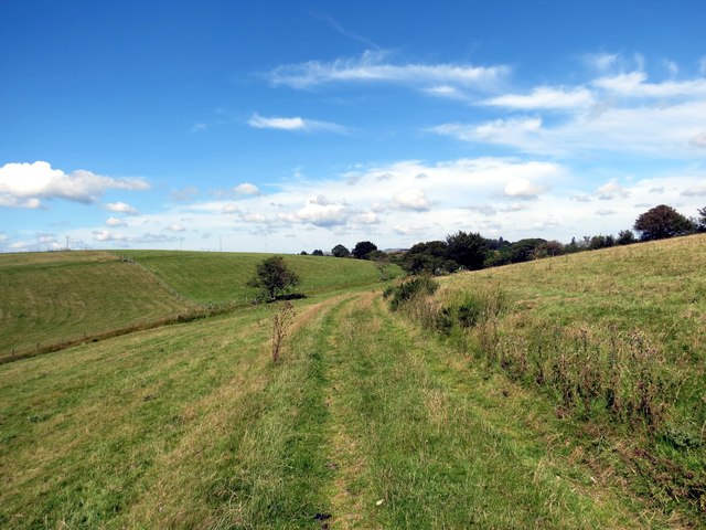
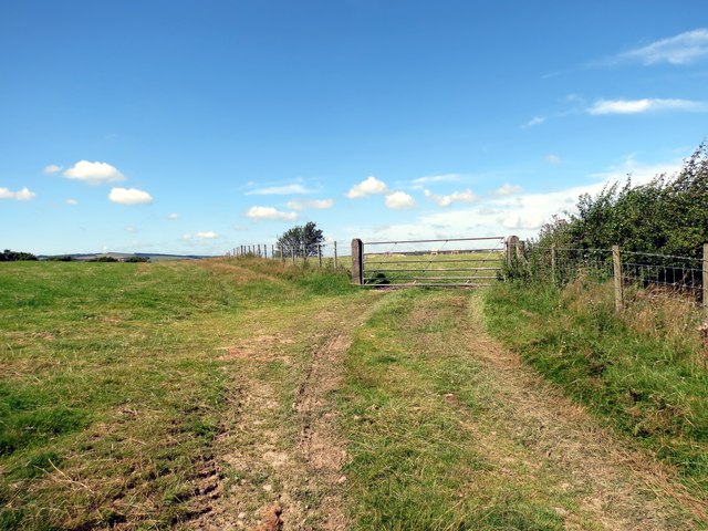
Covering an area of approximately 100 hectares, Coed Pistyll-gwyn is home to an abundant variety of flora and fauna. The woodland consists primarily of native tree species such as oak, beech, and ash, creating a diverse and vibrant ecosystem. The dense canopy provides a sheltered habitat for numerous bird species, including woodpeckers and owls, as well as various mammals like squirrels and deer.

One of the main attractions in Coed Pistyll-gwyn is the beautiful Pistyll-gwyn waterfall, which cascades gracefully down a rocky cliff face. This natural wonder adds to the overall charm of the woodland and provides a tranquil setting for visitors to enjoy. There are several walking trails throughout the forest, allowing visitors to explore its hidden gems and immerse themselves in its natural splendor.

Coed Pistyll-gwyn offers a peaceful retreat for nature enthusiasts and those seeking solace in the great outdoors. The forest is a popular destination for walkers, hikers, and photographers who are captivated by the stunning vistas and abundant wildlife. Whether it is the vibrant colors of the changing seasons or the soothing sounds of nature, Coed Pistyll-gwyn offers a serene escape from the hustle and bustle of everyday life.

If you have any feedback on the listing, please let us know in the comments section below.

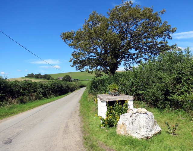
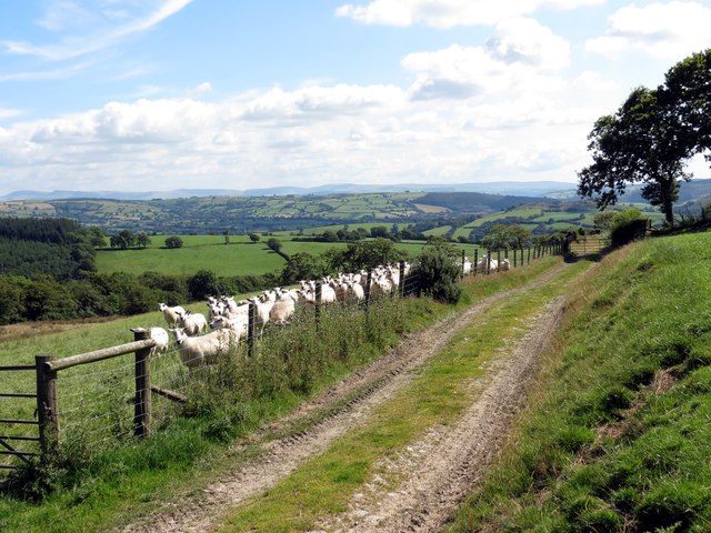
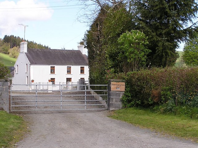
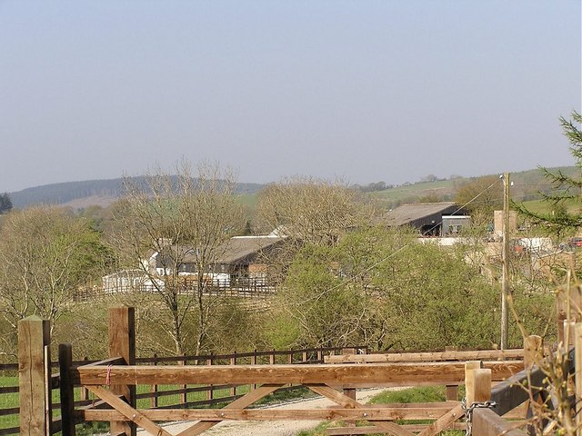
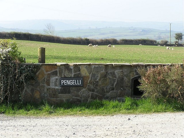
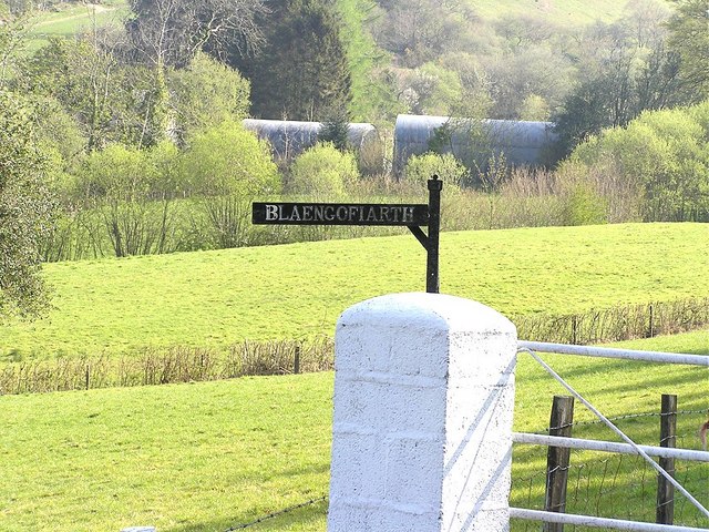
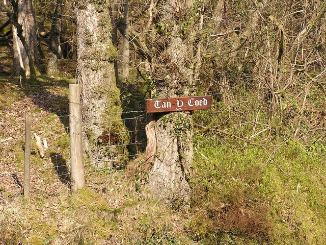
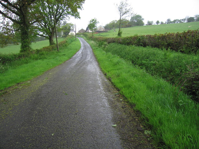
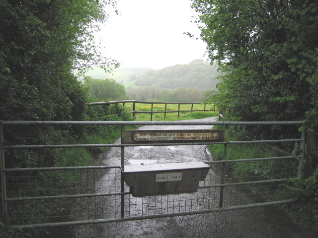
Coed Pistyll-gwyn Images

Images are sourced within 2km of 52.032229/-4.0048706 or Grid Reference SN6238. Thanks to Geograph Open Source API. All images are credited.
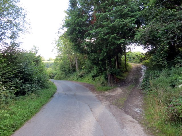
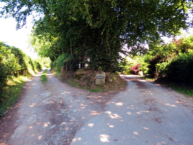
Lle mae pedwar llwybr yn cwrdd / Where four paths meet Lleoliad lle mae pedwar llwybr ceffyl yn cwrdd.

Location where four bridleways meet.
Lle mae pedwar llwybr yn cwrdd / Where four paths meet
Lleoliad lle mae pedwar llwybr ceffyl yn cwrdd. Location where four bridleways meet.
Llwybr i Faesdy / Path to Maesdy Llwybr ceffyl yn mynd i gyfeiriad anhedd-dy o'r enw Maesdy.

A bridleway heading in the direction of a property known as Maesdy.
Llwybr i Faesdy / Path to Maesdy
Llwybr ceffyl yn mynd i gyfeiriad anhedd-dy o'r enw Maesdy. A bridleway heading in the direction of a property known as Maesdy.
Tuag at Bant Mawr / Towards Pant Mawr Llwybr ceffyl ar gefnffordd yn agosau at Ffarm Pant Mawr.

A bridleway on a ridgeway approaching Pant Mawr Farm (trans. big hollow).
Tuag at Bant Mawr / Towards Pant Mawr
Llwybr ceffyl ar gefnffordd yn agosau at Ffarm Pant Mawr. A bridleway on a ridgeway approaching Pant Mawr Farm (trans. big hollow).
Heol Llansawel / Llansawel Road Trac ffarm yn gadael heol fach sy'n mynd i gyfeiriad pentre Llansawel. 

A farm track exiting a minor road heading in the direction of Llansawel village (trans. church of St Sawyl).
Heol Llansawel / Llansawel Road
Trac ffarm yn gadael heol fach sy'n mynd i gyfeiriad pentre Llansawel. A farm track exiting a minor road heading in the direction of Llansawel village (trans. church of St Sawyl).
Heol Esgairdawe Road Heol fach yn mynd i gyfeiriad treflan Esgairdawe.

A minor road heading in the direction of Esgairdawe hamlet (trans. Tawe [stream] ridge).
Heol Esgairdawe Road
Heol fach yn mynd i gyfeiriad treflan Esgairdawe. A minor road heading in the direction of Esgairdawe hamlet (trans. Tawe [stream] ridge).
Banc Pistyll Gwyn Llwybr Ceffyl yr ucheldir yn croesi Banc Pistyll Gwyn.

An upland bridleway crossing Banc Pistyll Gwyn (trans. white spring bank).
Banc Pistyll Gwyn
Llwybr Ceffyl yr ucheldir yn croesi Banc Pistyll Gwyn. An upland bridleway crossing Banc Pistyll Gwyn (trans. white spring bank).
Llwybr Ceffyl Pistyll Gwyn  / Pistyll Gwyn bridleway Llwybr ceffyl yn mynd heibio i Ffarm Pistyll Gwyn.

A bridleway passing Pistyll Gwyn Farm (trans. white / fair spring).
Llwybr Ceffyl Pistyll Gwyn / Pistyll Gwyn bridleway
Llwybr ceffyl yn mynd heibio i Ffarm Pistyll Gwyn. A bridleway passing Pistyll Gwyn Farm (trans. white / fair spring).
Hen Stondin Laeth / Old Milk Stand Hen stondin laeth wrth y mynediad i Ffarm Llygad yr Ych.

Old milk stand at the entrance to Llygad yr Ych Farm (trans. ox eye or source of the ox brook).
Hen Stondin Laeth / Old Milk Stand
Hen stondin laeth wrth y mynediad i Ffarm Llygad yr Ych. Old milk stand at the entrance to Llygad yr Ych Farm (trans. ox eye or source of the ox brook).
Banc Pistyll Gwyn Defaid wrth ochr llwybr ceffyl ar Fanc Pistyll Gwyn.

Sheep alongside a bridleway at Banc Pistyll Gwyn (trans. white / fair spring bank).
Banc Pistyll Gwyn
Defaid wrth ochr llwybr ceffyl ar Fanc Pistyll Gwyn. Sheep alongside a bridleway at Banc Pistyll Gwyn (trans. white / fair spring bank).
Ordnance Survey Cut Mark This OS cut mark can be found on the south parapet of the bridge. It marks a point 114.866m above mean sea level.
Ordnance Survey Cut Mark
This OS cut mark can be found on the south parapet of the bridge. It marks a point 114.866m above mean sea level.
Nantgwynau Nantgwynau Farm
Nantgwynau
Nantgwynau Farm
Pengelli Pengelli Farm taken from the unclassified road between Llansawel and Esgairdawe
Pengelli
Pengelli Farm taken from the unclassified road between Llansawel and Esgairdawe
Pengelli Entrance to Pengelli Farm.  There is an old breadoven set into the wall to the right of the sign, partly hidden behind the gorse.  Not an unusual thing in this part of Wales, as it serves as a postbox.
Pengelli
Entrance to Pengelli Farm. There is an old breadoven set into the wall to the right of the sign, partly hidden behind the gorse. Not an unusual thing in this part of Wales, as it serves as a postbox.
Pistyllgwyn One of the prettier farm entrances
Pistyllgwyn
One of the prettier farm entrances
Blaengofiarth Taken at the 90 degree bend in the road
Blaengofiarth
Taken at the 90 degree bend in the road
Tan y Coed Tan y Coed (below the forest) just off the Esgairdawe road
Tan y Coed
Tan y Coed (below the forest) just off the Esgairdawe road
Almost straight ahead This view is along the lane to the collection of houses around the junction ahead: I took the photograph here to shelter under the trees from the pouring rain.
Almost straight ahead
This view is along the lane to the collection of houses around the junction ahead: I took the photograph here to shelter under the trees from the pouring rain.
Right of way only on foot Just after I'd taken this photo, the farmer's Land Rover hove into view behind - in a lane no wider than a car's width for 300m behind. As the lane was signed "Access only", he wondered what I was doing there (though there is a right of way on foot beyond) - see <a href="https://www.geograph.org.uk/photo/1309764">SN6339 : Close or pay!!</a> for what happened.
Right of way only on foot
Just after I'd taken this photo, the farmer's Land Rover hove into view behind - in a lane no wider than a car's width for 300m behind. As the lane was signed "Access only", he wondered what I was doing there (though there is a right of way on foot beyond) - see SN6339 : Close or pay!! for what happened.
Show me another place!

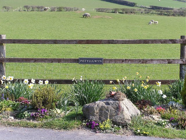
Coed Pistyll-gwyn is located at Grid Ref: SN6238 (Lat: 52.032229, Lng: -4.0048706)

Unitary Authority: Carmarthenshire

Police Authority: Dyfed Powys

What 3 Words

///protests.cherished.crystals. Near Llansawel, Carmarthenshire

Nearby Locations

Coed Pistyll-gwyn

Related Wikis

Llansawel transmitting station

The Llansawel television relay station is sited on high ground to the north of the village of Llansawel in Carmarthenshire, South Wales. It was originally...

Llansawel

Llansawel is a village and community in Carmarthenshire, Wales, about ten miles north of Llandeilo. It covers an area of 4,079 hectares (15.75 sq mi)....

Afon Twrch, Carmarthenshire

The Afon Twrch is a short river in Carmarthenshire, West Wales. It joins the River Cothi (itself a left-bank tributary of the River Towy) at the village...

Luentinum

Luentinum or Loventium refers to the Roman fort at Pumsaint, Carmarthenshire. The 1.9 hectares (4.7 acres) site lies either side of the A482 in Pumsaint...

Pumsaint

Pumsaint is a village in Carmarthenshire, Wales, halfway between Llanwrda and Lampeter on the A482 in the valley of the Afon Cothi. It forms part of the...

Afon Annell

Afon Annell (River Annell) is a small river in Carmarthenshire, Wales. It is a tributary of the Afon Cothi.Some of the waters of the Annell were previously...

Dolaucothi Gold Mines

The Dolaucothi Gold Mines (pronounced [ˌdɔlaiˈkɔθɪ]; Welsh: Mwynfeydd Aur Dolaucothi) (grid reference SN662403), also known as the Ogofau Gold Mine, are...

Crugybar

Crugybar is a village in Carmarthenshire, Wales, located between Talley and Pumsaint. It is roughly of equal distance from Lampeter, Llandovery and Llandeilo...

Have you been to Coed Pistyll-gwyn?

Leave your review of Coed Pistyll-gwyn below (or comments, questions and feedback).