Coed Gelli-wastad
Wood, Forest in Carmarthenshire
Wales
Coed Gelli-wastad

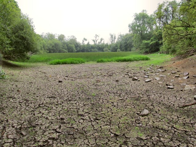
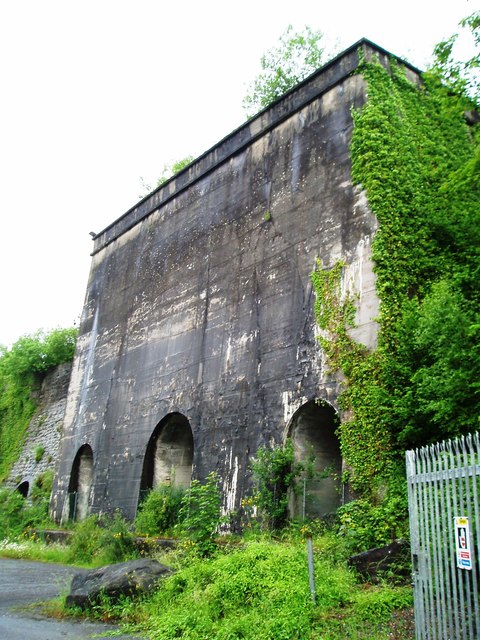
Coed Gelli-wastad is a beautiful woodland located in Carmarthenshire, Wales. The forest covers an area of approximately 200 acres and is home to a diverse range of plant and animal species. The woodland is predominantly made up of oak, beech, and conifer trees, creating a lush and vibrant environment for visitors to explore.
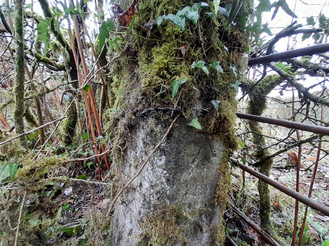
Coed Gelli-wastad offers a variety of walking trails and paths for visitors to enjoy, ranging from easy strolls to more challenging hikes. Along the way, visitors may encounter wildlife such as deer, squirrels, and a variety of bird species. The forest is also home to a number of rare and protected plant species, adding to its ecological significance.
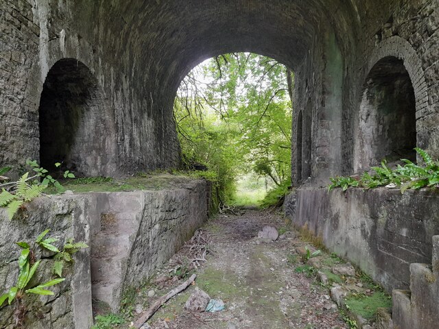
In addition to its natural beauty, Coed Gelli-wastad also has historical significance, with remnants of ancient settlements and structures scattered throughout the woodland. Visitors can learn about the area's past while immersing themselves in its tranquil surroundings.
Overall, Coed Gelli-wastad is a haven for nature lovers, hikers, and those seeking a peaceful escape from the hustle and bustle of everyday life. Its rich biodiversity, stunning landscapes, and historical charm make it a must-visit destination in Carmarthenshire.
If you have any feedback on the listing, please let us know in the comments section below.
Coed Gelli-wastad Images
Images are sourced within 2km of 51.829401/-3.9975748 or Grid Reference SN6216. Thanks to Geograph Open Source API. All images are credited.


Coed Gelli-wastad is located at Grid Ref: SN6216 (Lat: 51.829401, Lng: -3.9975748)
Unitary Authority: Carmarthenshire
Police Authority: Dyfed Powys
What 3 Words
///peroxide.letters.retail. Near Llandybie, Carmarthenshire
Nearby Locations
Related Wikis
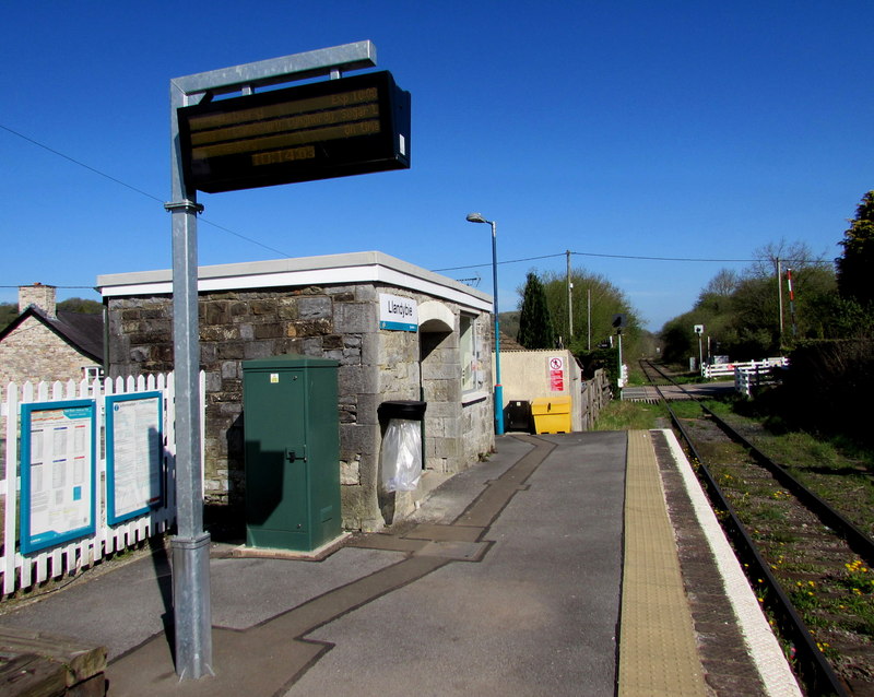
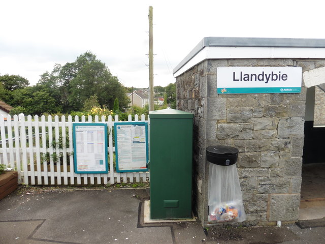
Llandybie railway station
Llandybie railway station serves the village of Llandybie near Ammanford, Carmarthenshire. The railway station is located below street level just off Kings...
Llandybie
Llandybie (Welsh: Llandybïe [ˌɬandəˈbiːɛ] , "Saint Tybie's church") is a village and community which includes a large village of the same name situated...

Derwydd Road railway station
Derwydd Road railway station served the hamlet of Derwydd, in the historical county of Glamorganshire, Wales, from 1857 to 1966 on the Llanelly Railway...

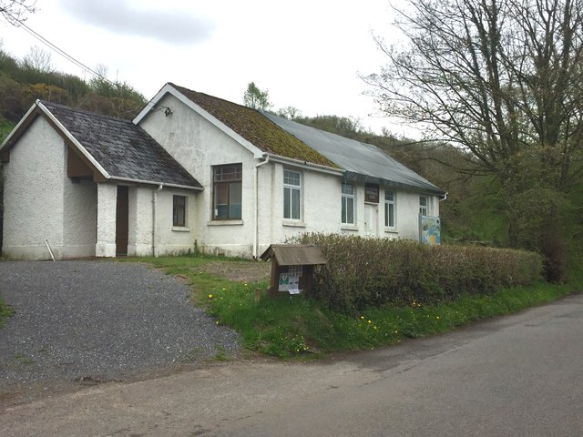
Derwydd, Carmarthenshire
Derwydd is a hamlet in the south-east of Carmarthenshire, Wales, historically situated in the parish of Llandybie, north of Ammanford. It is around halfway...
Nearby Amenities
Located within 500m of 51.829401,-3.9975748Have you been to Coed Gelli-wastad?
Leave your review of Coed Gelli-wastad below (or comments, questions and feedback).