Burnside of Duntrune

Settlement in Angus

Scotland

Burnside of Duntrune

Elizabethan postbox on Drumgeith Road, Dundee Postbox No. DD4 285.
Elizabethan postbox on Drumgeith Road, Dundee Credit: JThomas

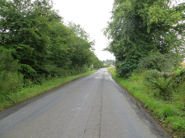
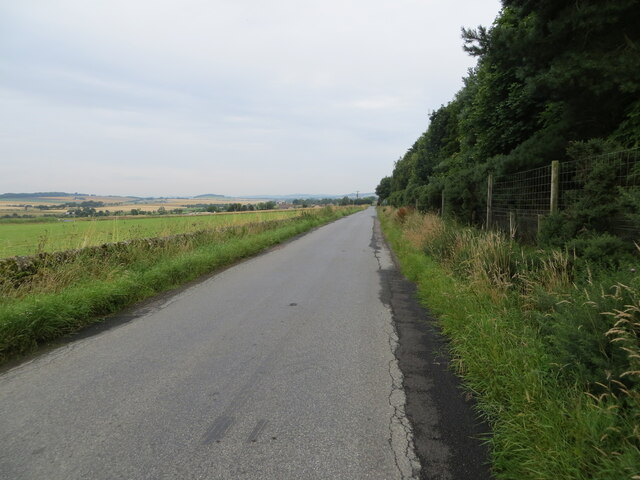
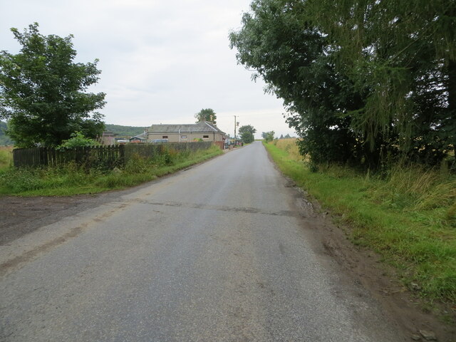
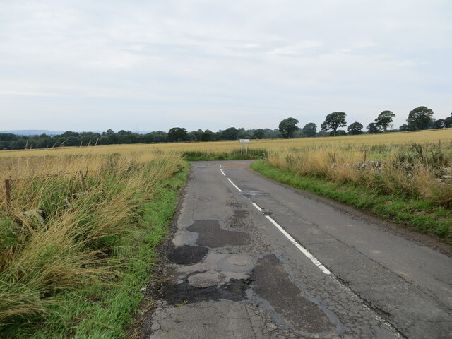
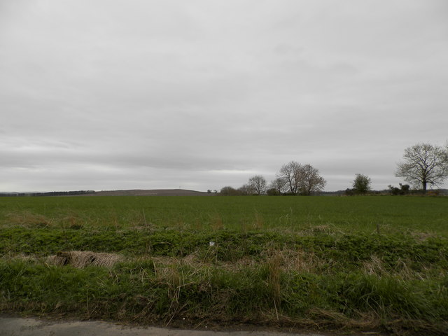
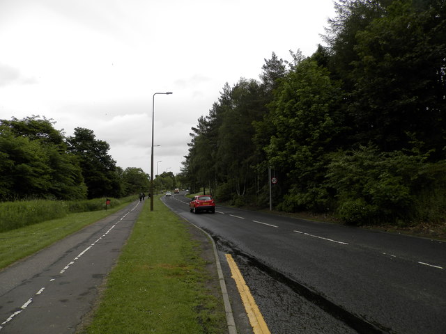
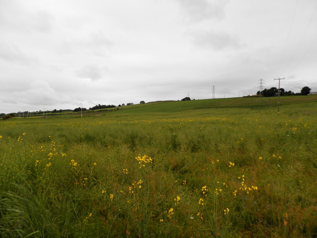
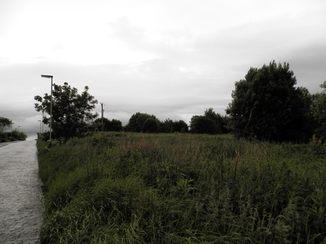
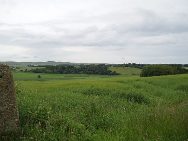
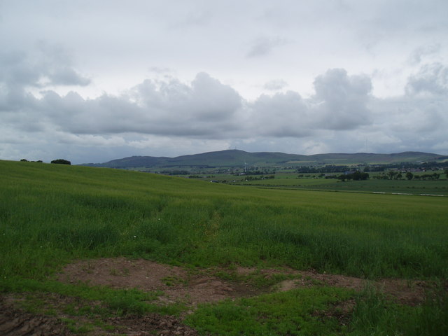
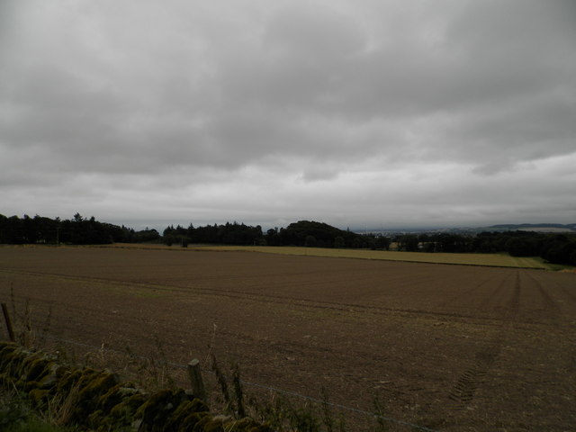
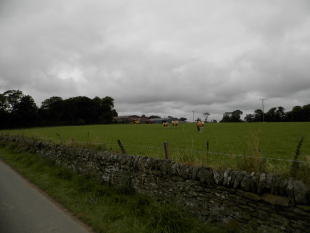
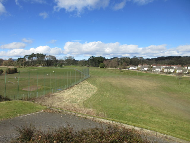
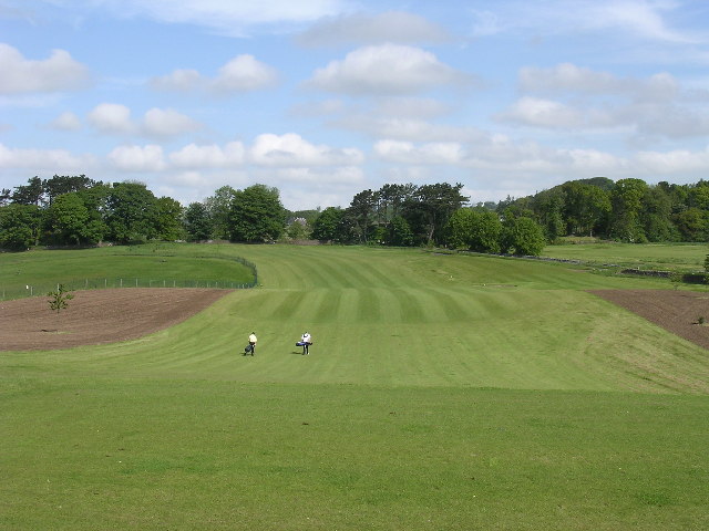
Burnside of Duntrune is a small rural settlement located in the county of Angus, Scotland. Situated on the eastern coast of the country, it lies just a few miles southwest of the town of Montrose. The area is characterized by its picturesque countryside, with rolling hills and farmland surrounding the village.

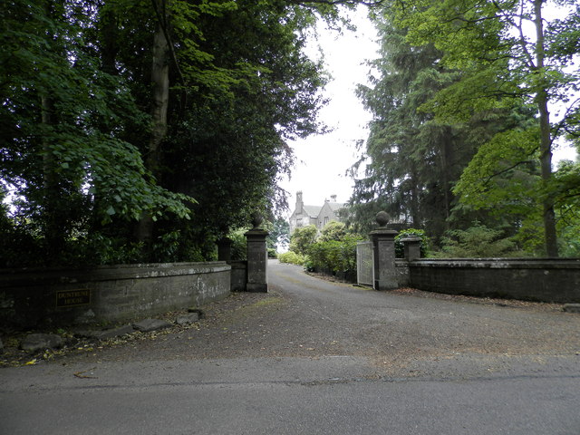
Burnside of Duntrune is known for its peaceful and idyllic setting, making it an attractive destination for those seeking a tranquil retreat. The village is home to a small population, primarily consisting of residents who enjoy the charm of rural living. The community is tight-knit, with friendly locals who take pride in maintaining the beauty and serenity of the area.

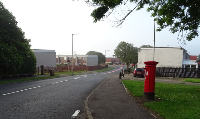
The village itself is comprised of a few scattered houses and cottages, along with a local pub and a church. Although small in size, Burnside of Duntrune offers a sense of community and a slower pace of life that appeals to many.

Nature enthusiasts will find plenty to explore in the surrounding area, with numerous walking trails and opportunities for outdoor activities. The nearby coastline boasts stunning views and is a popular spot for birdwatching, as well as being home to a variety of wildlife.

Overall, Burnside of Duntrune is a charming and peaceful village in the heart of Angus, Scotland, offering a rural escape for those seeking tranquility and natural beauty.

If you have any feedback on the listing, please let us know in the comments section below.

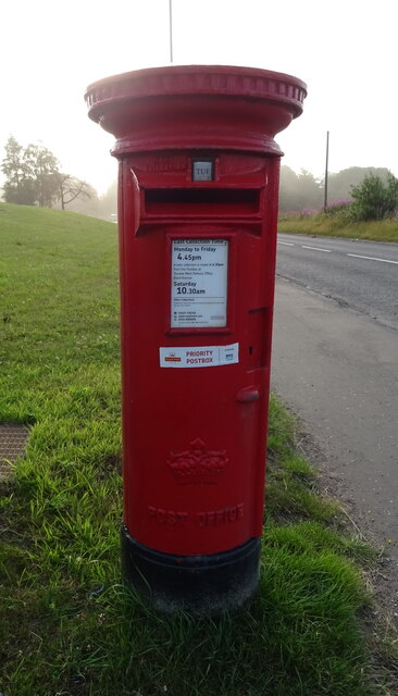
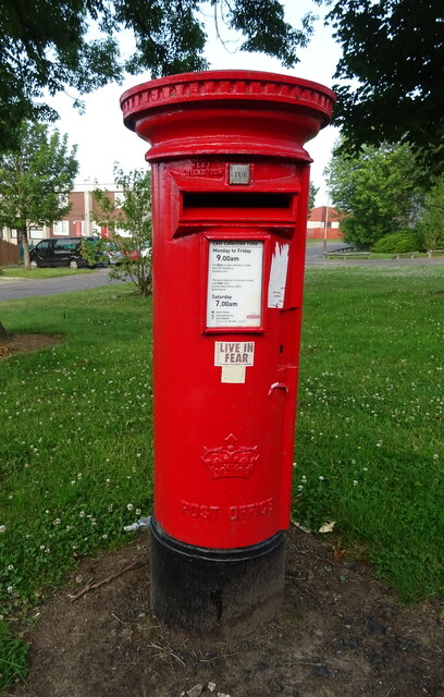
Burnside of Duntrune Images

Images are sourced within 2km of 56.502267/-2.911426 or Grid Reference NO4334. Thanks to Geograph Open Source API. All images are credited.

Elizabethan postbox on Drumgeith Road, Dundee Postbox No. DD4 285.
Elizabethan postbox on Drumgeith Road, Dundee
Postbox No. DD4 285.
Elizabethan postbox on Whitfield Drive, Dundee Postbox No. DD4 284.

See <a href="https://www.geograph.org.uk/photo/6921736">NO4333 : Whitfield Drive, Dundee</a> for context.
Elizabethan postbox on Whitfield Drive, Dundee
Postbox No. DD4 284. See NO4333 : Whitfield Drive, Dundee for context.
Whitfield Drive, Dundee Showing position of Postbox No. DD4 284.

See <a href="https://www.geograph.org.uk/photo/6921734">NO4333 : Elizabethan postbox on Whitfield Drive, Dundee</a> for postbox.
Whitfield Drive, Dundee
Showing position of Postbox No. DD4 284. See NO4333 : Elizabethan postbox on Whitfield Drive, Dundee for postbox.
Tree-lined road entering Kellas Looking south-eastward.
Tree-lined road entering Kellas
Looking south-eastward.
Minor road near to Woodside Looking north-westward.
Minor road near to Woodside
Looking north-westward.
Minor road approaching Houletnook Looking southward. The spelling at the location is Houletneuk.
Minor road approaching Houletnook
Looking southward. The spelling at the location is Houletneuk.
Junction of roads near to Westhall Looking south-westward.
Junction of roads near to Westhall
Looking south-westward.
Farmland at Woodside
Berwick Drive, Dundee
Field of rape on the outskirts of Dundee To the left of the image modern lamp posts are seen ready to light a road to nowhere. Any planned development has come to a standstill.
Field of rape on the outskirts of Dundee
To the left of the image modern lamp posts are seen ready to light a road to nowhere. Any planned development has come to a standstill.
Remains of Powrie Castle
Former farmland on edge of Dundee The creep of development has reached this edge of the city. There is no sign of any cultivation or any hint of future use.
Former farmland on edge of Dundee
The creep of development has reached this edge of the city. There is no sign of any cultivation or any hint of future use.
Farmland near Middleton
Entrance to Duntrune House
Field at Craighill Farm Already drilled and seeded ready for the next crop.
Field at Craighill Farm
Already drilled and seeded ready for the next crop.
Craighill Farm near Duntrune
Ballumbie Castle 1st hole, Lambie's Farm The opening tee shot down the hill at Ballumbie Castle golf course with the driving range to the left. The green is beyond the range just left of centre.
Ballumbie Castle 1st hole, Lambie's Farm
The opening tee shot down the hill at Ballumbie Castle golf course with the driving range to the left. The green is beyond the range just left of centre.
Show me another place!

Burnside of Duntrune is located at Grid Ref: NO4334 (Lat: 56.502267, Lng: -2.911426)

Unitary Authority: Angus

Police Authority: Tayside

What 3 Words

///audio.lost.powers. Near Dundee, Dundee City

Related Wikis

Burnside of Duntrune

Burnside of Duntrune is a hamlet in Angus, Scotland. It is situated 1 km North of Ballumbie on the outskirts of Dundee, on the Fithie Burn. == References ==

Braeview Academy

Braeview Academy is a secondary school in Dundee, Scotland. Situated on top of a steep hill (brae), it was originally named Whitfield High School. It...

Ballumbie

Ballumbie is a residential area on the north-east edge of Dundee, Scotland. The area was formerly an estate centred on Ballumbie Castle, a mid-16th-century...

Dundee St James F.C.

Dundee St James are a Scottish football club from the Mid-Craigie area in the east of Dundee. They are members of the East Region of the Scottish Junior...

Nearby Amenities

Located within 500m of 56.502267,-2.911426
Bus Stop
Farmhouse Road End
Bus: yes
Local Ref: AT
Naptan AtcoCode: 6490IM1080
Naptan Bearing: NE
Naptan BusStopType: CUS
Naptan CommonName: Farmhouse Road End
Naptan Indicator: at
Naptan Landmark: Barns of Wedderburn
Naptan NaptanCode: 26423674
Naptan Street: Dundee Road
Naptan Verified: no
Public Transport: platform
Source: naptan_import
Lat/Long: 56.5003842/-2.9180839
Bus Stop
Farmhouse Road End
Bus: yes
Naptan AtcoCode: 6490IM1432
Naptan Bearing: SW
Naptan BusStopType: CUS
Naptan CommonName: Farmhouse Road End
Naptan Indicator: opp
Naptan Landmark: Road End
Naptan NaptanCode: 26425862
Naptan Street: Unclassified
Naptan Verified: no
Public Transport: platform
Source: naptan_import
Lat/Long: 56.5001969/-2.9179007
Bus Stop
Braeside Cottages
Bus: yes
Local Ref: AT
Naptan AtcoCode: 6490IM242
Naptan Bearing: NE
Naptan BusStopType: CUS
Naptan CommonName: Braeside Cottages
Naptan Indicator: at
Naptan Landmark: Post Box
Naptan NaptanCode: 26423846
Naptan Verified: no
Public Transport: platform
Source: naptan_import
Lat/Long: 56.5018805/-2.9125477
Bus Stop
Braeside Cottages
Bus: yes
Naptan AtcoCode: 6490IM371
Naptan Bearing: SW
Naptan CommonName: Braeside Cottages
Naptan Indicator: opp
Naptan Landmark: Bus Shelter
Naptan NaptanCode: 26423845
Naptan Verified: no
Public Transport: platform
Source: naptan_import
Lat/Long: 56.501801/-2.9123671
Designation: Step down transformer, overhead power lines - 3 phase
Lat/Long: 56.5043011/-2.9041847
Designation: Burnside of Duntrune Dam
Waterway: weir
Lat/Long: 56.5028504/-2.9104825
Burnside of Duntrune
Place: village
Wikidata: Q5000156
Wikipedia: en:Burnside of Duntrune
Lat/Long: 56.5024946/-2.9111501
Power: pole
Lat/Long: 56.4980803/-2.9099919
Power: pole
Lat/Long: 56.4988951/-2.9101449
Power: pole
Lat/Long: 56.4995203/-2.9102756
Power: pole
Lat/Long: 56.5003424/-2.9104485
Power: pole
Lat/Long: 56.5011291/-2.9106126
Power: pole
Lat/Long: 56.5019023/-2.9107788
Power: pole
Lat/Long: 56.5026717/-2.9109295
Power: pole
Lat/Long: 56.503281/-2.9111955
Power: pole
Lat/Long: 56.5038559/-2.9114394
Power: pole
Lat/Long: 56.5043771/-2.9116522
Power: pole
Lat/Long: 56.5048676/-2.9118672
Power: pole
Lat/Long: 56.5056419/-2.9120268
Power: pole
Lat/Long: 56.5064126/-2.9121952
Power: pole
Lat/Long: 56.5017016/-2.9121598
Power: pole
Lat/Long: 56.5015144/-2.9135873
Power: pole
Lat/Long: 56.5013799/-2.9144185
Power: pole
Lat/Long: 56.5011841/-2.9157196
Power: pole
Lat/Long: 56.5010214/-2.9167681
Power: pole
Lat/Long: 56.5008073/-2.9180028
Power: pole
Lat/Long: 56.5006568/-2.9189891
Power: pole
Lat/Long: 56.5048982/-2.9106724
Power: pole
Lat/Long: 56.504919/-2.9092493
Power: pole
Lat/Long: 56.5046682/-2.9089479
Power: pole
Lat/Long: 56.5042315/-2.9084358
Power: pole
Lat/Long: 56.5040455/-2.9071746
Power: pole
Lat/Long: 56.5038596/-2.905982
Power: pole
Lat/Long: 56.5040382/-2.9050067
Power: pole
Lat/Long: 56.5043061/-2.9042686
Post Box
Collection Plate Date: 2023-05-22
Collection Times: Mo-Fr 09:00; Sa 07:00
Manufacturer: Carron Company Stirlingshire
Operator: Royal Mail
Post Box Mounting: pier
Post Box Type: lamp
Ref: DD4 169D
Royal Cypher: scottish_crown
Source: survey
Lat/Long: 56.5021628/-2.9115798
The data included in this document is from www.openstreetmap.org. The data is made available under ODbL.

Have you been to Burnside of Duntrune?

Leave your review of Burnside of Duntrune below (or comments, questions and feedback).