Coed Cwrtycadno

Wood, Forest in Cardiganshire

Wales

Coed Cwrtycadno

Barn conversion, Ysgubor Wennol
Barn conversion, Ysgubor Wennol Credit: Alex McGregor

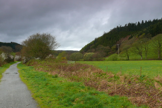
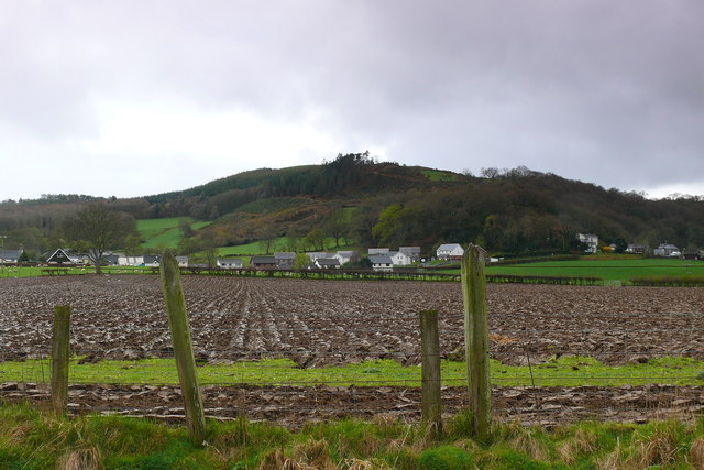
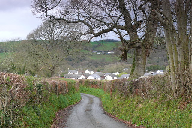
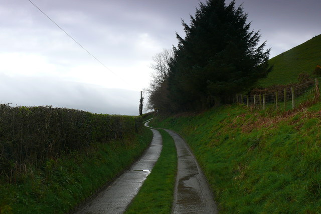
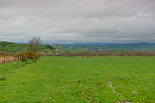
Coed Cwrtycadno is a picturesque woodland located in Cardiganshire, Wales. Nestled in the scenic countryside, this forested area spans approximately several hectares, offering a serene and tranquil environment for nature enthusiasts and adventurers alike.

The woodland is characterized by its diverse range of tree species, including oak, beech, and pine, creating a rich and vibrant ecosystem. The dense foliage provides ample shade and shelter, making it a popular destination for hikers, birdwatchers, and nature photographers. The forest floor is adorned with a carpet of wildflowers during the spring and summer months, adding to the natural beauty of the surroundings.

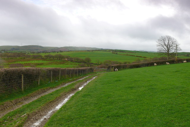
Coed Cwrtycadno is home to a variety of wildlife, including rare and protected species. Visitors may spot red kites soaring through the sky, along with buzzards, owls, and various songbirds. The forest is also inhabited by deer, badgers, and foxes, which can occasionally be observed in their natural habitat.

Numerous walking trails crisscross the woodland, ranging from short, leisurely strolls to longer, more challenging hikes. These paths offer breathtaking views of the surrounding countryside and provide opportunities for visitors to immerse themselves in the tranquility and beauty of nature.

The forest is well-maintained, with designated picnic areas and benches scattered throughout, allowing visitors to relax and enjoy the peaceful ambiance. Coed Cwrtycadno is a designated Site of Special Scientific Interest, ensuring the preservation and protection of its unique ecosystem.

In conclusion, Coed Cwrtycadno is a captivating woodland in Cardiganshire, offering a haven of natural beauty and wildlife. Whether seeking adventure or a peaceful retreat, this forest provides an ideal destination for nature lovers of all ages.

If you have any feedback on the listing, please let us know in the comments section below.

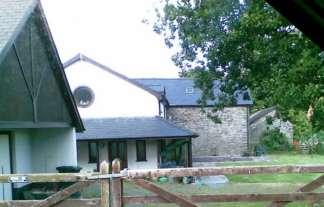
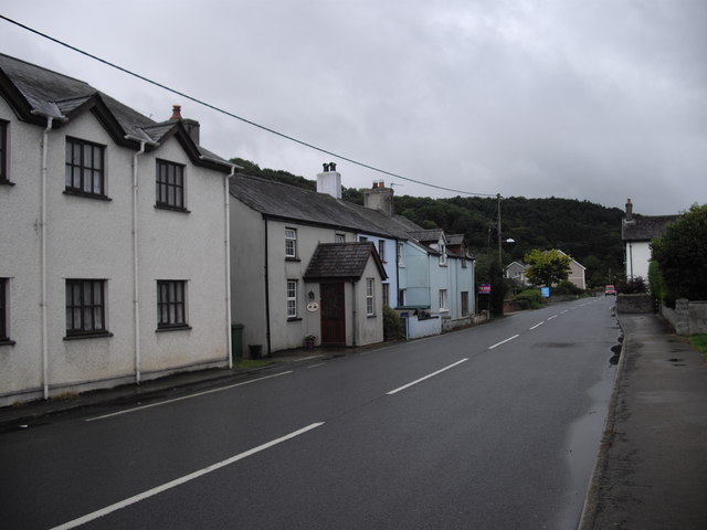
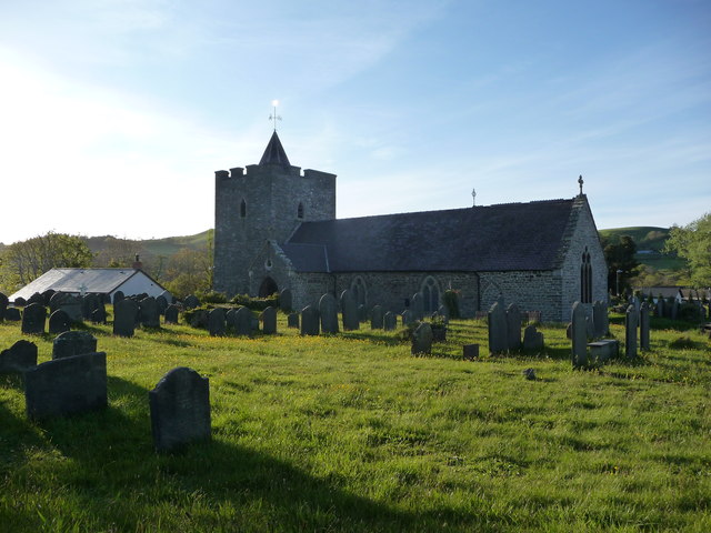
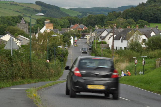
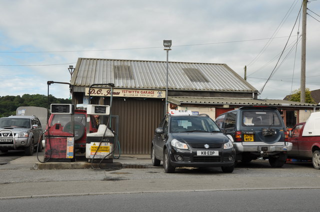
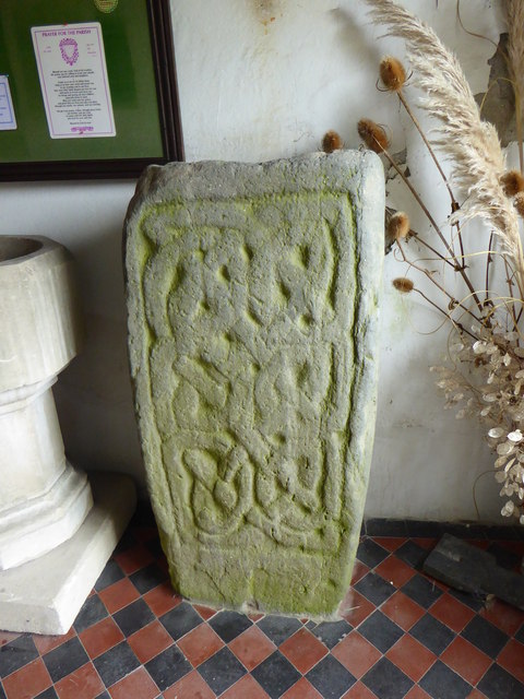
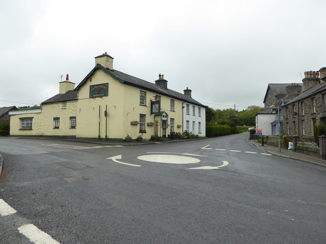
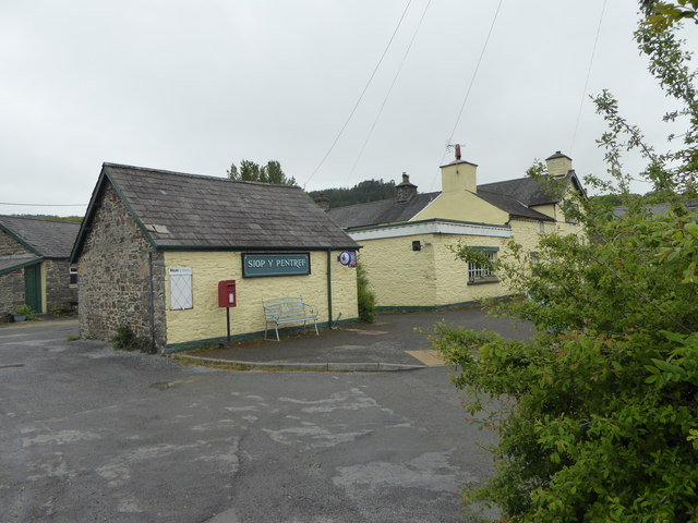
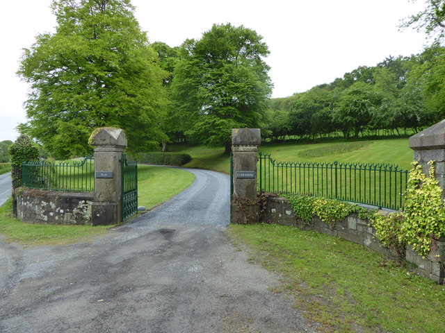
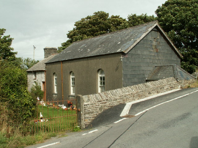
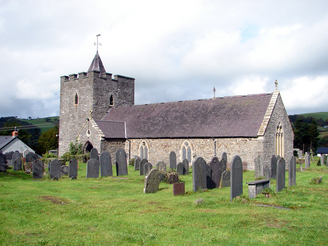
Coed Cwrtycadno Images

Images are sourced within 2km of 52.351464/-4.0274692 or Grid Reference SN6274. Thanks to Geograph Open Source API. All images are credited.

Barn conversion, Ysgubor Wennol
Houses on the A485, Pentre-llyn, Llanilar
St. Hilary's church, Llanilar Dedicated to Saint Hilary of Poitiers I believe, hence the Welsh language name of the village.
St. Hilary's church, Llanilar
Dedicated to Saint Hilary of Poitiers I believe, hence the Welsh language name of the village.
The A485 running through Llanilar Sunday traffic on the A485 in Llanilar.
The A485 running through Llanilar
Sunday traffic on the A485 in Llanilar.
The Ystwyth Garage in Llanilar The Ystwyth Garage on the A485 in Llanilar.
The Ystwyth Garage in Llanilar
The Ystwyth Garage on the A485 in Llanilar.
Afon Ystwyth Golygfa o'r Pont Pantmawr i fyny'r Afon Ystwyth / A view from Pantmawr bridge up the River Ystwyth.
Afon Ystwyth
Golygfa o'r Pont Pantmawr i fyny'r Afon Ystwyth / A view from Pantmawr bridge up the River Ystwyth.
Llwybr Beicio 81-82 / Cycle Route 81-82 Llwybr Beicio ger Llanilar / Cycle Route near Llanilar.
Llwybr Beicio 81-82 / Cycle Route 81-82
Llwybr Beicio ger Llanilar / Cycle Route near Llanilar.
Cae aredig  / Ploughed field Cae aredig ger Llanilar / Ploughed field near Llanilar
Cae aredig / Ploughed field
Cae aredig ger Llanilar / Ploughed field near Llanilar
Llanilar Lon gul uwchben Llanilar / Narrow lane above Llanilar.
Llanilar
Lon gul uwchben Llanilar / Narrow lane above Llanilar.
Trac i Goedlys / Track to Coedlys Trac sydd hefyd yn llwybr cyhoeddus / A track that is also a public footpath.
Trac i Goedlys / Track to Coedlys
Trac sydd hefyd yn llwybr cyhoeddus / A track that is also a public footpath.
Trac a caeau ger Coedlys / Track and fields near Coedlys Llwybr cyhoeddus yn dilyn trac fferm / Public footpath that follows a farm track.
Trac a caeau ger Coedlys / Track and fields near Coedlys
Llwybr cyhoeddus yn dilyn trac fferm / Public footpath that follows a farm track.
Cae mawr ger Rhosgoch / Large field near Rhosgoch Llwybr cyhoeddus sydd i fod i groesi y cae yma / A public footpath is supposed to cross this field.
Cae mawr ger Rhosgoch / Large field near Rhosgoch
Llwybr cyhoeddus sydd i fod i groesi y cae yma / A public footpath is supposed to cross this field.
St Hilary's Church, Llanilar Graded II* as a medieval church with one of the very few surviving medieval roofs in Ceredigion, coherently restored in 1874-6 with interior fittings. The circular old graveyard is an indication of an early church on this site. One of the bells in its massive square tower was cast in 1350.
St Hilary's Church, Llanilar
Graded II* as a medieval church with one of the very few surviving medieval roofs in Ceredigion, coherently restored in 1874-6 with interior fittings. The circular old graveyard is an indication of an early church on this site. One of the bells in its massive square tower was cast in 1350.
Stone at Llanilar Church This stone with its Celtic knot design was found at Caer Maes y Mynach hill fort at Cribyn, near Lampeter. It was brought to the church in the 1950's.
Stone at Llanilar Church
This stone with its Celtic knot design was found at Caer Maes y Mynach hill fort at Cribyn, near Lampeter. It was brought to the church in the 1950's.
The Falcon Inn, Llanilar Situated right in the middle of the village, opposite the church of St Ilar.
The Falcon Inn, Llanilar
Situated right in the middle of the village, opposite the church of St Ilar.
Siop y Pentref, Llanilar The village store at Llanilar
Siop y Pentref, Llanilar
The village store at Llanilar
Plas Llidiardau gateway The country house Llidiardau is situated on S side of the Ystwyth valley some 1.5km ESE of Llanilar.
Plas Llidiardau gateway
The country house Llidiardau is situated on S side of the Ystwyth valley some 1.5km ESE of Llanilar.
Pantglas Chapel The former Pantglas chapel, built in 1824 and re-built in 1874, now a house.
Pantglas Chapel
The former Pantglas chapel, built in 1824 and re-built in 1874, now a house.
Show me another place!

Coed Cwrtycadno is located at Grid Ref: SN6274 (Lat: 52.351464, Lng: -4.0274692)

Unitary Authority: Ceredigion

Police Authority: Dyfed Powys

What 3 Words

///tightrope.misted.publish. Near Llanilar, Ceredigion

Related Wikis

Castle Hill, Ceredigion

Castle Hill is an area and country estate in the community of Llanilar, Ceredigion, Wales, which is 70.2 miles (112.9 km) from Cardiff and 175.8 miles...

Llanilar

Llanilar is a village and community in Ceredigion, Wales, about 4 kilometres (2.5 mi) southeast of Aberystwyth. It is the eponym of the hundred of Ilar...

Ystwyth Trail

The Ystwyth Trail is a 21-mile (34 km) multi-use rail trail linking Aberystwyth, Llanfarian, Ystrad Meurig and Tregaron in Ceredigion, Wales. Cycling and...

Llanilar railway station

Llanilar railway station was on the Carmarthen to Aberystwyth Line (originally called the Manchester and Milford Railway before being transferred to the...

Coed y Crychydd

Coed y Crychydd is a Site of Special Scientific Interest in Ceredigion, west Wales. It is a moderately steep, north facing wood, featuring mainly ancient...

Rhos-y-garth

Rhos-y-garth is a hamlet in the community of Llanilar, Ceredigion, Wales, which is 68.7 miles (110.6 km) from Cardiff and 174.7 miles (281.1 km) from...

Y Gors, Ceredigion

Y Gors is a hamlet in the community of Trawsgoed, Ceredigion, Wales, which is 71.5 miles (115.1 km) from Cardiff and 176.1 miles (283.4 km) from London...

Felindyffryn Halt railway station

Felindyffryn Halt was located on the Carmarthen to Aberystwyth Line, originally called the Manchester and Milford Railway, before being transferred to...

Have you been to Coed Cwrtycadno?

Leave your review of Coed Cwrtycadno below (or comments, questions and feedback).