Coed Gerddi-bluog
Wood, Forest in Merionethshire
Wales
Coed Gerddi-bluog

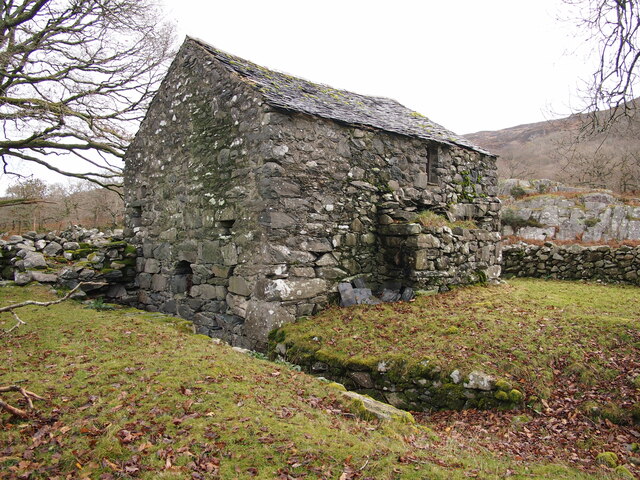
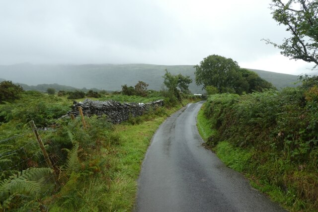
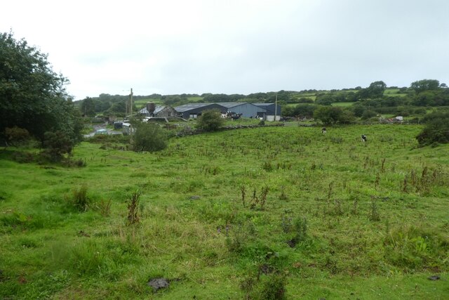
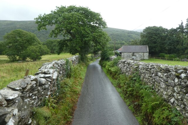
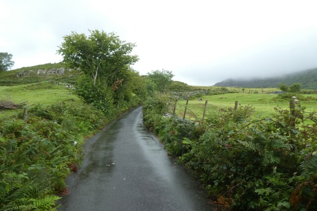
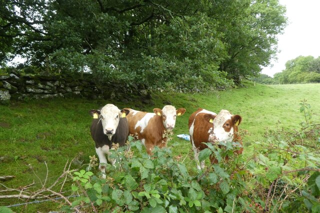
Coed Gerddi-bluog, located in the historic county of Merionethshire, is a picturesque woodland area renowned for its natural beauty and rich biodiversity. Spanning over a vast area, this enchanting forest is a haven for nature enthusiasts and those seeking tranquility amid the Welsh countryside.
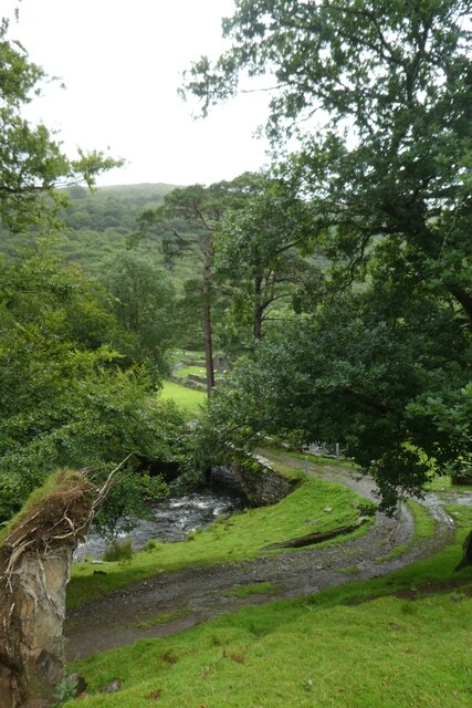
Characterized by its dense canopies of native trees, including oak, birch, and beech, Coed Gerddi-bluog offers a diverse habitat for a myriad of wildlife species. The forest floor is adorned with a vibrant array of wildflowers, mosses, and ferns, creating a striking tapestry of colors throughout the seasons.
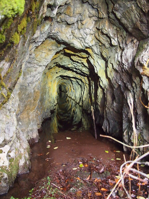
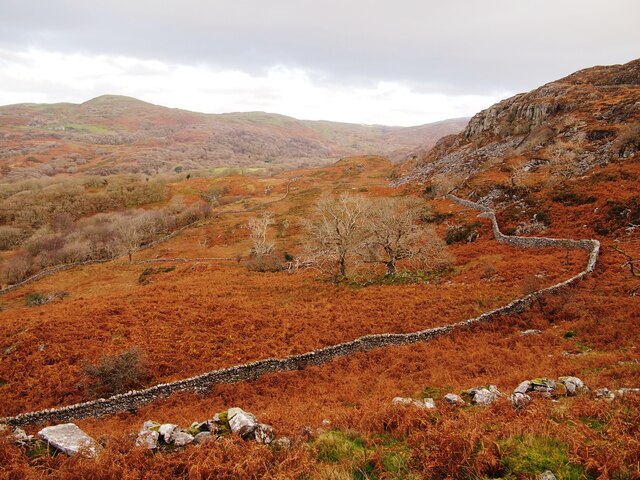
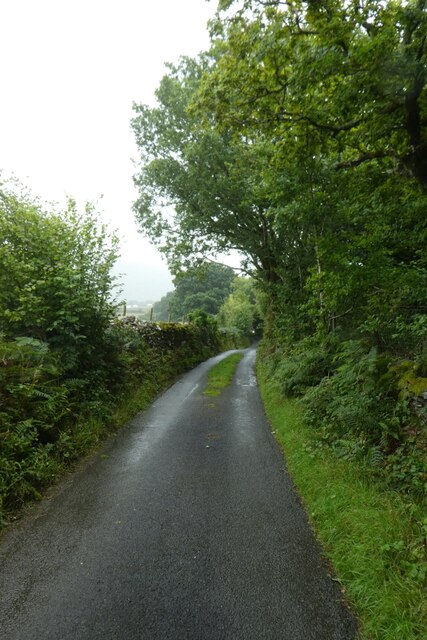
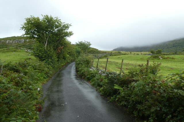
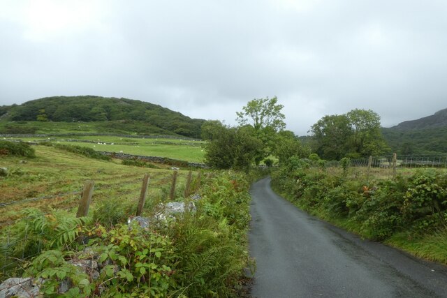
The woodland is crisscrossed by a network of well-maintained footpaths, allowing visitors to explore its hidden gems and discover its secrets. Along the trails, one may stumble upon babbling brooks, cascading waterfalls, and serene ponds, adding to the magical ambiance of the forest.
Coed Gerddi-bluog is not only a sanctuary for plants and animals but also a recreational hub for outdoor activities. Hiking, birdwatching, and photography are popular pastimes among visitors. The forest's serene atmosphere also offers an ideal setting for meditation and yoga retreats.
Managed by local authorities, the woodland is carefully conserved to ensure its long-term sustainability. Conservation efforts include monitoring the ecosystem, managing invasive species, and promoting environmental education within the community.
For those seeking a peaceful retreat or a chance to immerse themselves in the wonders of nature, Coed Gerddi-bluog in Merionethshire is a prime destination. Its lush greenery, diverse wildlife, and tranquil ambiance make it a must-visit spot for nature lovers and those looking to reconnect with the natural world.
If you have any feedback on the listing, please let us know in the comments section below.
Coed Gerddi-bluog Images
Images are sourced within 2km of 52.847134/-4.0520697 or Grid Reference SH6129. Thanks to Geograph Open Source API. All images are credited.


Coed Gerddi-bluog is located at Grid Ref: SH6129 (Lat: 52.847134, Lng: -4.0520697)
Unitary Authority: Gwynedd
Police Authority: North Wales
What 3 Words
///balconies.urge.boater. Near Harlech, Gwynedd
Nearby Locations
Related Wikis

Llyn Cwm Bychan
Llyn Cwm Bychan is a lake in north Wales, and is one of the sources of the River Artro which flows south westwards through Llanbedr and onwards to the...

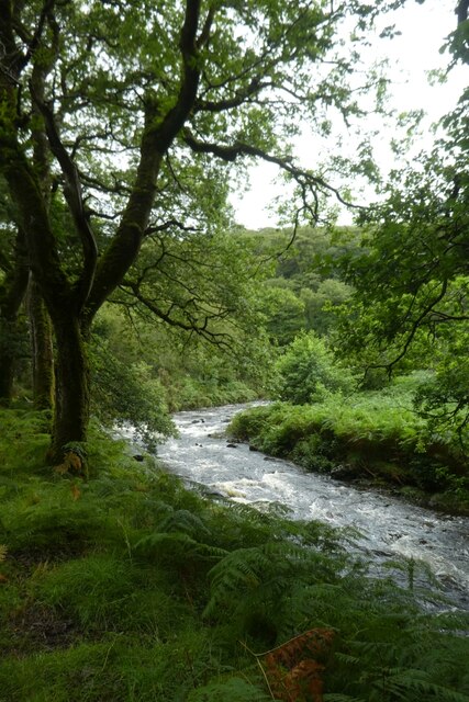
River Artro
The River Artro (Welsh: Afon Artro) is a river in Gwynedd, Wales. It is about 4.5 miles (7.2 km) long and has its source at Llyn Cwm Bychan below Rhinog...

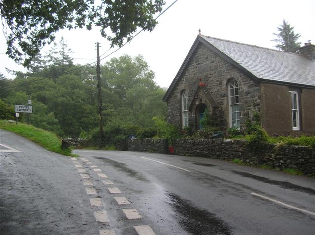
Capel Salem, Llanbedr
Capel Salem is a Grade II listed building in the hamlet of Pentre Gwynfryn, near Llanbedr, Gwynedd, Wales. This Baptist chapel building is located about...

Afon Cwmnantcol
The River Cwmnantcol (Afon Cwmnantcol in Welsh) is a river in North Wales. It is about 3 miles (5 kilometres) long and has its source at the head of Cwm...
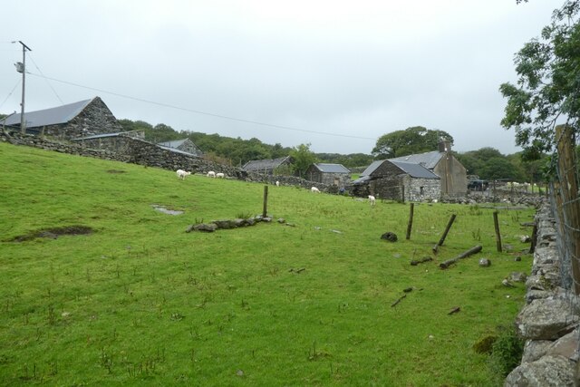
Pentre Gwynfryn
Pentre Gwynfryn is a village in the Ardudwy area of Gwynedd, Wales about 1 mile (1.6 km) east of Llanbedr and the community of the same name. The village...

Rhinog Fawr
Rhinog Fawr is a mountain in Snowdonia, North Wales and forms part of the Rhinogydd range. It is the third highest summit of the Rhinogydd, losing out...

Ellis Wynne
Ellis Wynne (7 March 1671 – 13 July 1734) was a Welsh clergyman and author. He is remembered mainly for one of the most important and influential pieces...

Harlech
Harlech (Welsh pronunciation: [ˈharlɛχ]) is a seaside resort and community in Gwynedd, north Wales and formerly in the historic county of Merionethshire...
Related Videos
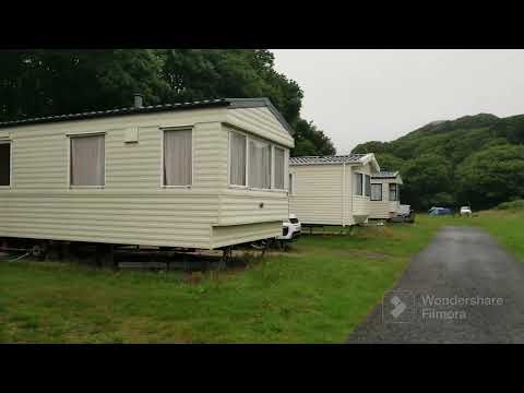
Snowdonia national park reviews Hiking camping at dinas caravan park Wales #travel #trending #reels
Dinas Camping & Caravan Park is a lovely little site with a basic, and depending on where you choose to pitch, almost a wild ...


Camping at Llyn Cwm May 2018
Camping at Llyn Cwm May 2018.

Dinas Camp Part 2 - Tent Tour and Hike
In part 2 of our Dinas camp video, see inside the massive Outwell Sundale 7PA tent now it's all set up. I also head off on a solo ...
Nearby Amenities
Located within 500m of 52.847134,-4.0520697Have you been to Coed Gerddi-bluog?
Leave your review of Coed Gerddi-bluog below (or comments, questions and feedback).