Coed Maen-pres

Wood, Forest in Merionethshire

Wales

Coed Maen-pres

Landscape North of Croesor Yr Arddu in the background.
Landscape North of Croesor Credit: Chris Andrews

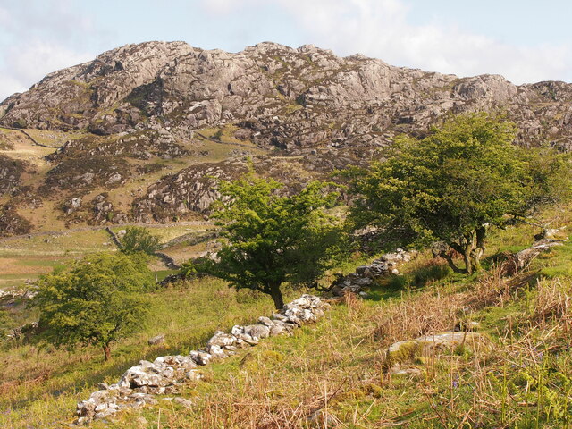
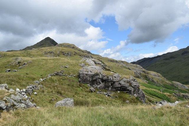
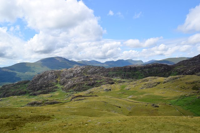
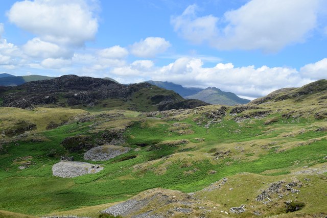
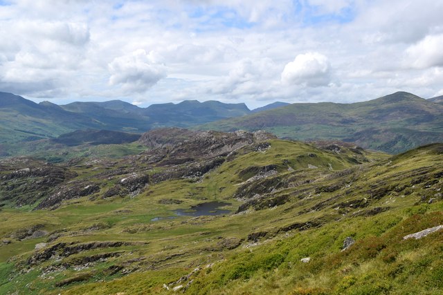
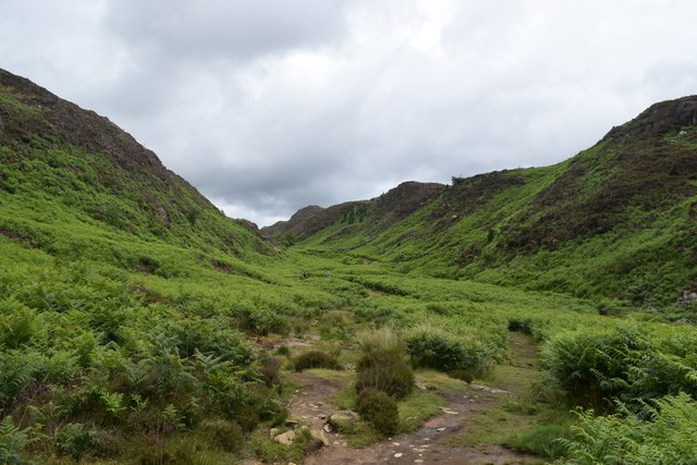
Coed Maen-pres, located in Merionethshire, is a picturesque woodland area known for its natural beauty and diverse range of flora and fauna. The name "Coed Maen-pres" translates to "Wood, Forest" in English, which aptly describes the primary characteristic of this stunning location.

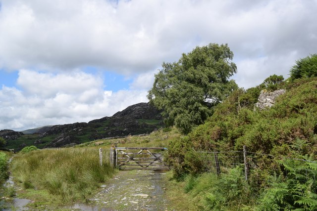
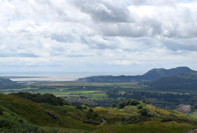
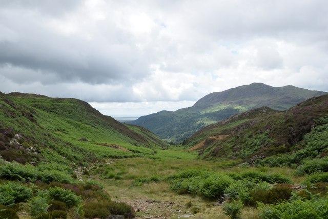
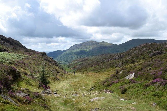
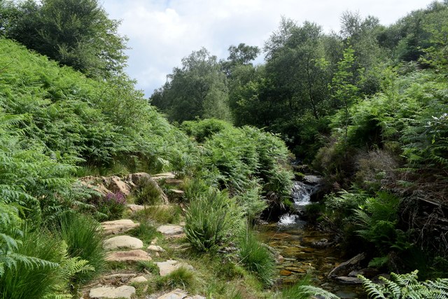
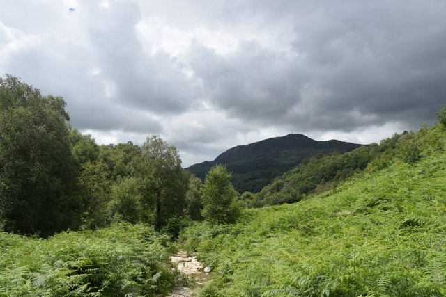
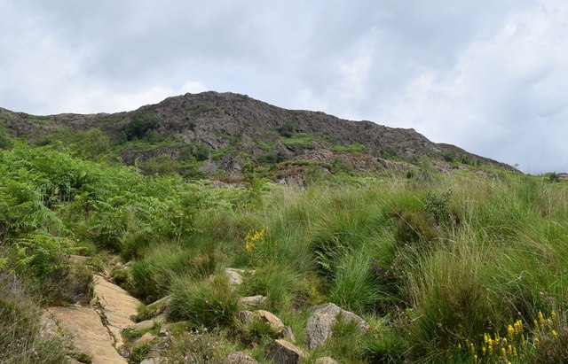
The woodland encompasses an expansive area, covering rolling hills and valleys, with a mix of dense trees and open spaces. The forest is predominantly made up of native tree species such as oak, beech, and birch, creating a rich and varied ecosystem. These trees provide a habitat for a wide range of wildlife, including various bird species, small mammals, and insects.

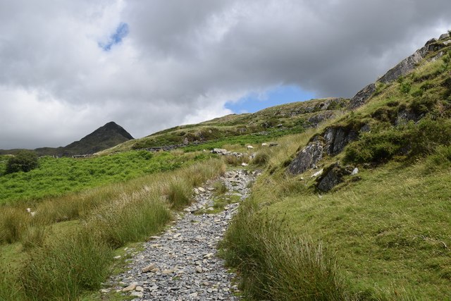
Coed Maen-pres is a popular destination for nature enthusiasts and hikers, offering a network of well-maintained trails that wind through the forest. These paths allow visitors to explore the area while enjoying the tranquil surroundings and breathtaking views.

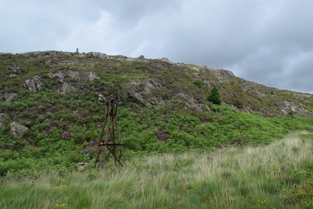
The woodland is also of historical significance, with evidence of human activity dating back centuries. Ruins of ancient settlements and burial mounds can be found scattered throughout the forest, giving a glimpse into the area's past.

Coed Maen-pres is managed by local authorities to preserve its natural beauty and protect its wildlife. Conservation efforts are undertaken to maintain a healthy ecosystem and ensure the sustainable use of the forest resources.

Overall, Coed Maen-pres is a stunning woodland area that offers a peaceful escape from the hustle and bustle of daily life. Its diverse flora and fauna, coupled with its historical significance, make it an attractive destination for nature lovers and history enthusiasts alike.

If you have any feedback on the listing, please let us know in the comments section below.

Coed Maen-pres Images

Images are sourced within 2km of 52.998497/-4.0618058 or Grid Reference SH6146. Thanks to Geograph Open Source API. All images are credited.

Landscape North of Croesor Yr Arddu in the background.
Landscape North of Croesor
Yr Arddu in the background.
Parting of the paths The Snowdonia Slate Trail to the left, the start of the ascent to Cnicht to the right...
Parting of the paths
The Snowdonia Slate Trail to the left, the start of the ascent to Cnicht to the right...
Climbing towards Cnicht The path of slate and granite chips is mostly well-defined.  Cnicht looms in the background.
Climbing towards Cnicht
The path of slate and granite chips is mostly well-defined. Cnicht looms in the background.
Looking back towards the coast The Glaslyn estuary and Porthmadog, some 10 km away, with clouds starting to gather...
Looking back towards the coast
The Glaslyn estuary and Porthmadog, some 10 km away, with clouds starting to gather...
Climbing towards Cnicht The terrain is getting rockier but there is still a long way to go...
Climbing towards Cnicht
The terrain is getting rockier but there is still a long way to go...
Looking towards Yr Arddu Yr Arddu is an igneous intrusion of rhyolite, being bedrock formed between 485.4 and 443.8 million years ago during the Ordovician period.   There are countless sheep in the blown-up photo...
Looking towards Yr Arddu
Yr Arddu is an igneous intrusion of rhyolite, being bedrock formed between 485.4 and 443.8 million years ago during the Ordovician period. There are countless sheep in the blown-up photo...
Snowdonia glacial landscape Drumlins and waste heaps from abandoned late quarries.
Snowdonia glacial landscape
Drumlins and waste heaps from abandoned late quarries.
Glacial landscape south of Bwlch y Battel Rocks scoured and scraped by a glacier some 10,000 years ago.   A footpath on the OS map seems to pass through the middle of the lake.
Glacial landscape south of Bwlch y Battel
Rocks scoured and scraped by a glacier some 10,000 years ago. A footpath on the OS map seems to pass through the middle of the lake.
Hiking up Cwm Bychan
Remains of the cableway, Cwm Bychan This once transported copper ore down the valley.
Remains of the cableway, Cwm Bychan
This once transported copper ore down the valley.
Cableway tower, Cwm Bychan
Looking back down Cwm Bychan In the far distance, the sands of the Glaslyn estuary can just be seen under looming clouds.
Looking back down Cwm Bychan
In the far distance, the sands of the Glaslyn estuary can just be seen under looming clouds.
The view down Cwm Bychan
Spectacular glacial landscape seen from Bwlch-y-Sygyn Drumlins, moraines, cwms...
Spectacular glacial landscape seen from Bwlch-y-Sygyn
Drumlins, moraines, cwms...
The path up Cwm Bychan
Storm clouds over Cwm Bychan
Rocky scene in Cwm Bychan The cliff is, I think, part of the Lower Rhyolitic Tuff Formation being igneous bedrock formed between 458.4 and 449 million years ago during the Ordovician period.
Rocky scene in Cwm Bychan
The cliff is, I think, part of the Lower Rhyolitic Tuff Formation being igneous bedrock formed between 458.4 and 449 million years ago during the Ordovician period.
Waterfall in Cwm Bychan A small waterfall on the stream in Cwm Bychan.
Waterfall in Cwm Bychan
A small waterfall on the stream in Cwm Bychan.
Show me another place!

Coed Maen-pres is located at Grid Ref: SH6146 (Lat: 52.998497, Lng: -4.0618058)

Unitary Authority: Gwynedd

Police Authority: North Wales

What 3 Words

///passively.revision.blurred. Near Penrhyndeudraeth, Gwynedd

Related Wikis

Yr Arddu (South)

Yr Arddu is a large hill in Snowdonia, Wales (Not to be confused with the 589 metre Yr Arddu (North) to the east of Snowdon). It lies approximately 2.5...

Nantmor

Nantmor is a hamlet which lies about 1½ miles to the south of the village of Beddgelert in Gwynedd, Wales. The current spelling of the name Nantmor is...

Beddgelert Fault

Beddgelert Fault First reported in a Memoir of the British Geological Survey activity ref. Ramsay 1881. It is a SW-NE trending volcanotectonic fault in...

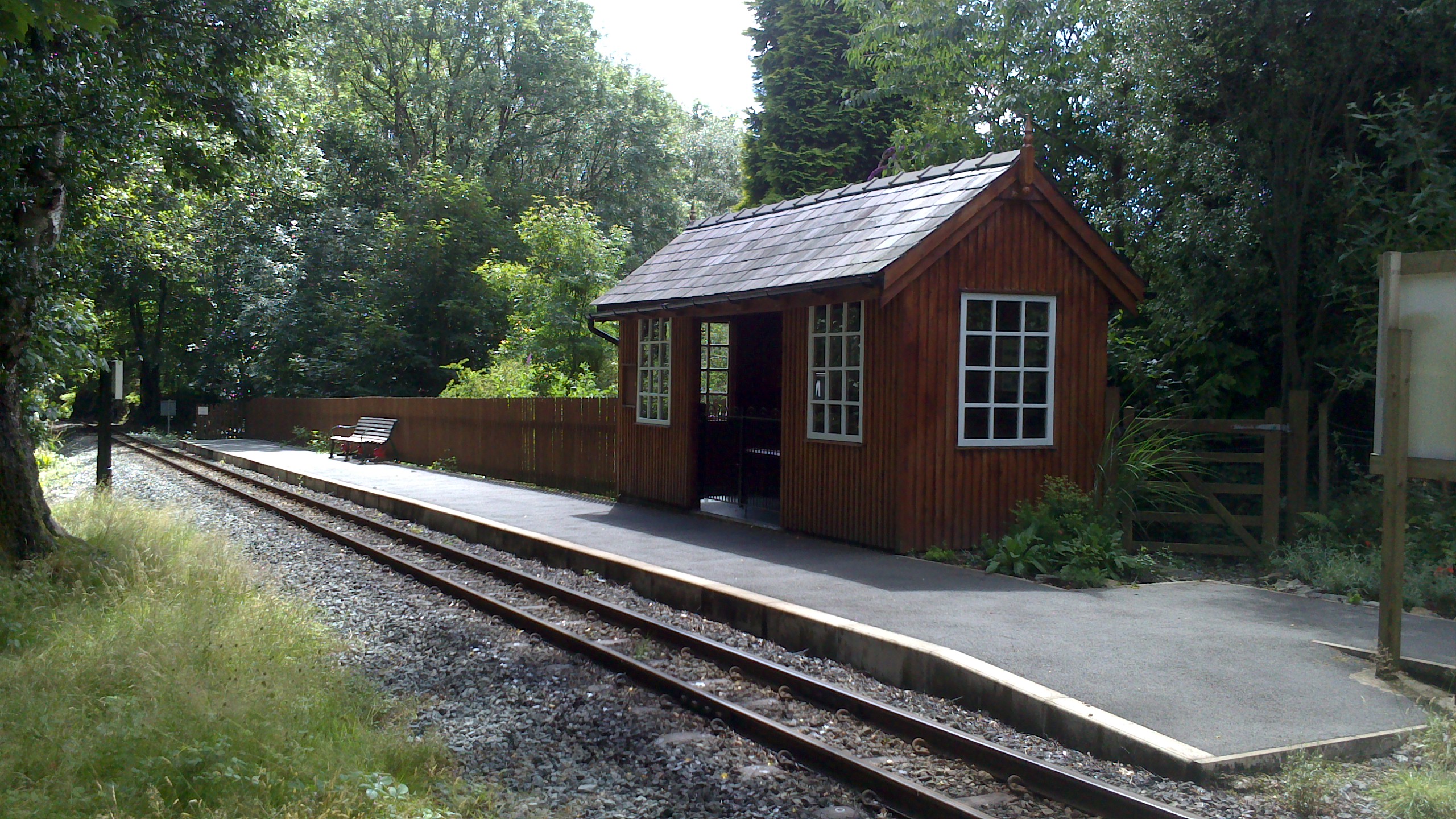
Nantmor railway station

Nantmor is a railway halt in North Wales serving the nearby hamlet of the same name. It is located between the stations of Beddgelert and Pont Croesor...

Llyn Dinas

Llyn Dinas is a lake near Beddgelert, Gwynedd in north Wales. It is formed by the River Glaslyn. Llyn Dinas lies on the valley floor a few miles north...

Aberglaslyn Pass

The Aberglaslyn Pass (Welsh: Bwlch Aberglaslyn) is a narrow gorge of considerable beauty in Snowdonia, Gwynedd, north Wales. The A498 road/A4085 road follows...

Parc, Penrhyndeudraeth

Parc (meaning Park in English) is the name of an ancient mansion found near the village of Croesor in the community of Llanfrothen near Penrhyndeudraeth...

Pont Aberglaslyn

Pont Aberglaslyn is a stone arch bridge over the Afon Glaslyn and the surrounding hamlet, located near Beddgelert and Nantmor in Gwynedd, north-west Wales...

Nearby Amenities

Located within 500m of 52.998497,-4.0618058
Power: pole
Lat/Long: 52.9953894/-4.0600736
Power: pole
Lat/Long: 52.9971121/-4.059249
Power: pole
Lat/Long: 52.9986294/-4.0585529
Power: pole
Lat/Long: 52.9994612/-4.0580967
Power: pole
Lat/Long: 53.0001893/-4.0576675
Power: pole
Lat/Long: 53.0005757/-4.057485
Power: pole
Lat/Long: 53.0014095/-4.0566435
Power: pole
Lat/Long: 52.9962457/-4.0596561
Power: pole
Lat/Long: 52.994444/-4.0605198
Craig y Clogwyn
Place: locality
Lat/Long: 53.0019329/-4.0623108
The data included in this document is from www.openstreetmap.org. The data is made available under ODbL.

Have you been to Coed Maen-pres?

Leave your review of Coed Maen-pres below (or comments, questions and feedback).