Coed Pant-y-wrâch
Wood, Forest in Merionethshire
Wales
Coed Pant-y-wrâch
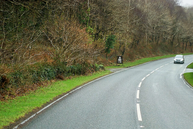
Coed Pant-y-wrâch, located in Merionethshire, Wales, is a serene and captivating woodland area. Spread across a vast expanse, this enchanting forest is nestled amidst the picturesque landscape of the Snowdonia National Park. The name "Pant-y-wrâch" translates to "Witch's Hollow," adding an air of mysticism and intrigue to the area.
The woodland boasts a rich diversity of flora and fauna, making it a haven for nature lovers and wildlife enthusiasts. Towering ancient oak and beech trees dominate the canopy, providing a dense cover that filters sunlight and creates a tranquil atmosphere. Beneath these majestic giants, a lush understory teems with ferns, mosses, and wildflowers, painting the forest floor in vibrant hues.
Coed Pant-y-wrâch is home to an array of wildlife, including several rare and endangered species. Visitors may be fortunate enough to spot red squirrels darting among the trees or catch a glimpse of elusive birds such as pied flycatchers and redstarts. The forest also offers a habitat for various species of bats, foxes, and badgers.
The woodland features a network of well-maintained trails, inviting visitors to explore its wonders. Hikers can embark on a leisurely stroll or undertake a more challenging trek, immersing themselves in the natural beauty that abounds. The peacefulness of the surroundings provides an ideal escape from the hustle and bustle of daily life.
Coed Pant-y-wrâch is not only a place of natural beauty but also a site of historical significance. Ruins of old mines and quarries can be discovered throughout the forest, serving as reminders of the area's industrial past.
Overall, Coed Pant-y-wrâch in Merionethshire is a captivating woodland destination offering a perfect blend of natural wonders, wildlife, and historical charm. It beckons travelers seeking solace in the embrace of nature's embrace.
If you have any feedback on the listing, please let us know in the comments section below.
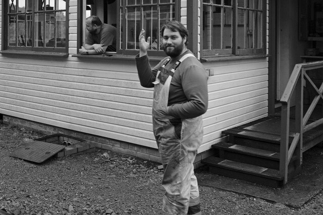
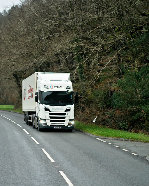
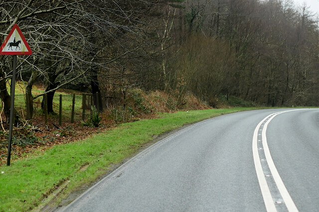
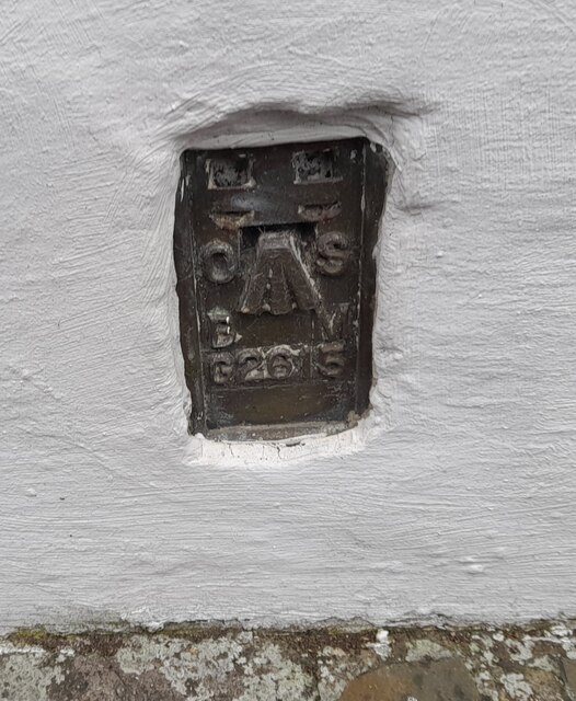
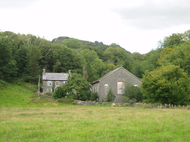
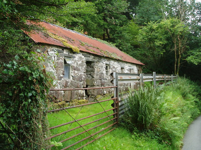
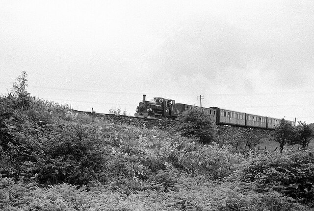
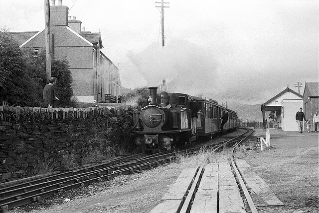
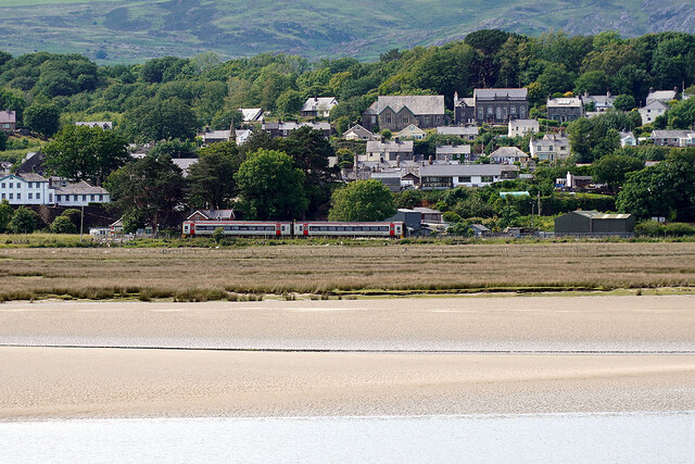
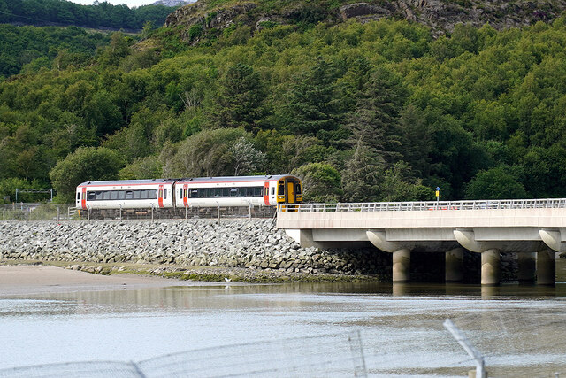
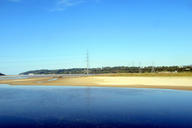
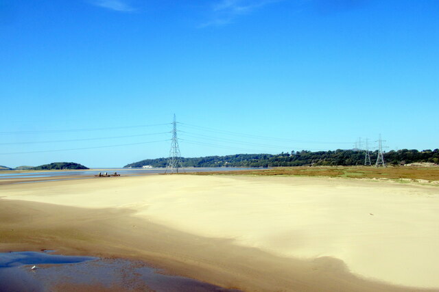
Coed Pant-y-wrâch Images
Images are sourced within 2km of 52.940998/-4.0598737 or Grid Reference SH6140. Thanks to Geograph Open Source API. All images are credited.
Coed Pant-y-wrâch is located at Grid Ref: SH6140 (Lat: 52.940998, Lng: -4.0598737)
Unitary Authority: Gwynedd
Police Authority: North Wales
What 3 Words
///paths.boards.sweat. Near Penrhyndeudraeth, Gwynedd
Nearby Locations
Related Wikis

Rhiw Goch
Rhiw Goch is a passing point on the Ffestiniog Railway north of the village of Penrhyndeudraeth in Wales. It was originally a passing loop and an exchange...

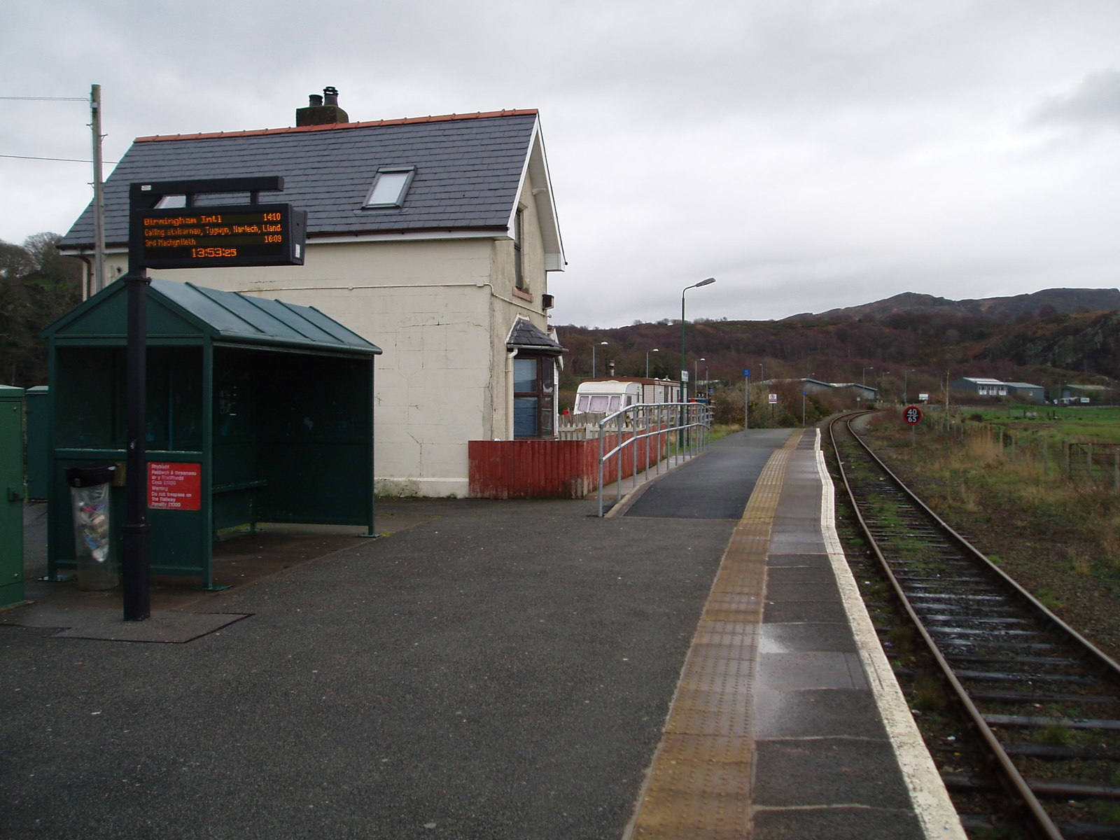
Penrhyn railway station
Penrhyn railway station on the Ffestiniog Railway is located on a restricted site at Pen-y-Bwlch above the town of Penrhyndeudraeth (Penrhyndeudraeth means...

Gwaith Powdwr
Gwaith Powdwr, (English: Powder Works), situated in Penrhyndeudraeth, Wales, is a decommissioned explosives works now managed as a Nature Reserve by the...
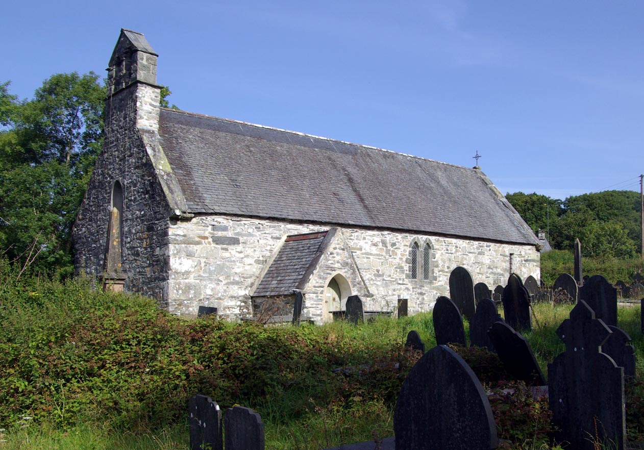
St Brothen's Church, Llanfrothen
St Brothen's Church, Llanfrothen, is a redundant church at the edge of the village of Llanfrothen, Gwynedd, Wales. It is designated by Cadw as a Grade...
Llanfrothen
Llanfrothen () is a hamlet and community in the county of Gwynedd, Wales, between the towns of Porthmadog and Blaenau Ffestiniog and is 108.1 miles (174...

Penrhyndeudraeth F.C.
Penrhyndeudraeth Football Club (Welsh: Clwb Pêl-Droed Penrhyndeudraeth, also abbreviated Penrhyn) is a football team, playing in the North Wales Coast...
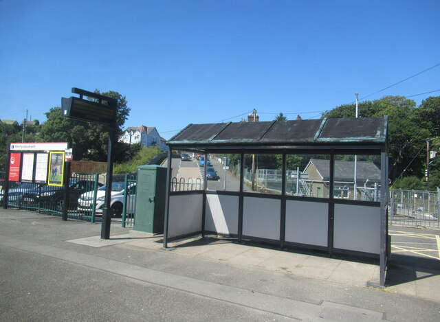
Penrhyndeudraeth railway station
Penrhyndeudraeth railway station is a railway station serving the small town of Penrhyndeudraeth on the Dwyryd Estuary in Gwynedd, Wales. It is a station...

Penrhyndeudraeth
Penrhyndeudraeth ( pen-rin-DYED-rəth, Welsh pronunciation: [pɛnr̥ɨnˈdeɨdraːɨθ] ; lit. 'peninsula with two beaches') is a small town and community in the...
Nearby Amenities
Located within 500m of 52.940998,-4.0598737Have you been to Coed Pant-y-wrâch?
Leave your review of Coed Pant-y-wrâch below (or comments, questions and feedback).