Coed Cefn-cymmerau
Wood, Forest in Merionethshire
Wales
Coed Cefn-cymmerau

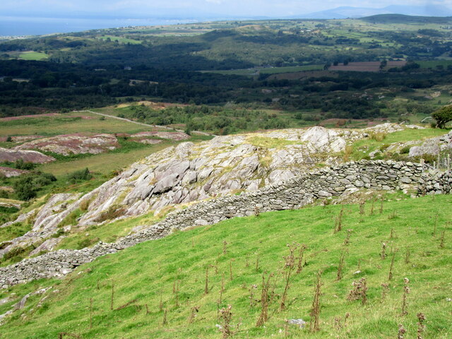
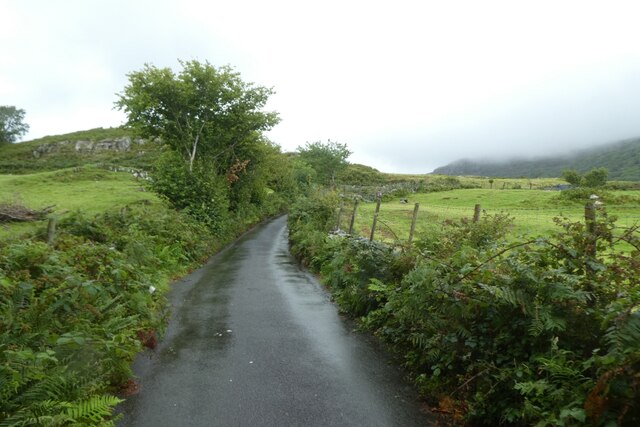
Coed Cefn-cymmerau, located in Merionethshire, Wales, is a picturesque woodland area renowned for its natural beauty and serene ambiance. Spanning approximately 200 acres, the forest is nestled within the Snowdonia National Park, offering visitors a unique opportunity to immerse themselves in the breathtaking landscape of North Wales.
The woodland is primarily composed of native tree species, including oak, beech, and birch, which create a dense canopy overhead, providing shade and shelter to a diverse array of flora and fauna. Walking through the forest, one can encounter a carpet of wildflowers, such as bluebells, primroses, and wood anemones, adding a vibrant touch to the green surroundings.
Coed Cefn-cymmerau provides a haven for wildlife, with a wide variety of species calling it home. Birdwatchers can spot various avian species, including woodpeckers, owls, and warblers, while nature enthusiasts may catch glimpses of red squirrels, foxes, and badgers roaming the forest floor.
The woodland offers numerous walking trails, catering to different levels of fitness and interests. From leisurely strolls along well-marked paths to more challenging hikes up hills and through valleys, visitors can explore the forest at their own pace. Additionally, there are picnic areas scattered throughout the woodland, providing an ideal spot for visitors to relax and enjoy the tranquility of their surroundings.
Coed Cefn-cymmerau is not only a haven for nature enthusiasts but also serves as an educational resource. The forest hosts various workshops and events throughout the year, allowing visitors to learn about the local ecosystem, conservation efforts, and traditional woodland management practices.
In summary, Coed Cefn-cymmerau in Merionethshire is a captivating woodland that offers a range of activities and opportunities for nature lovers, hikers, and those seeking solace in the beauty of nature. With its diverse flora and fauna
If you have any feedback on the listing, please let us know in the comments section below.
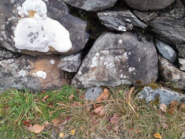
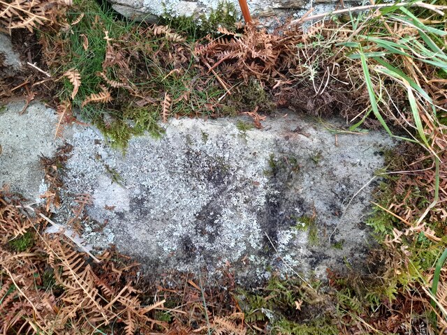
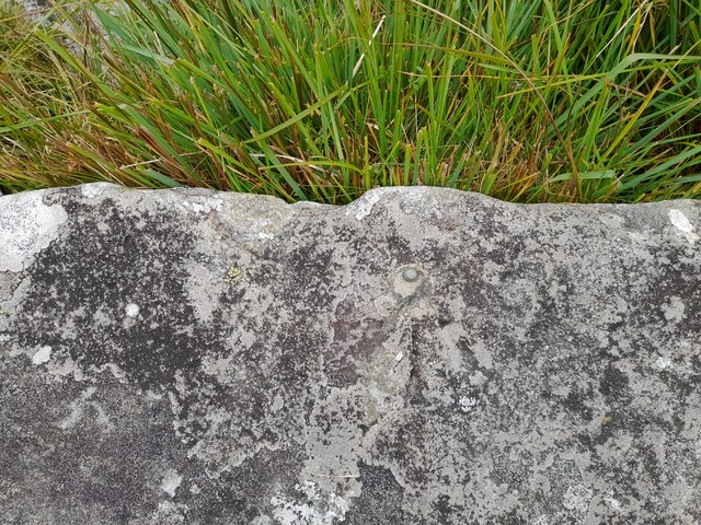
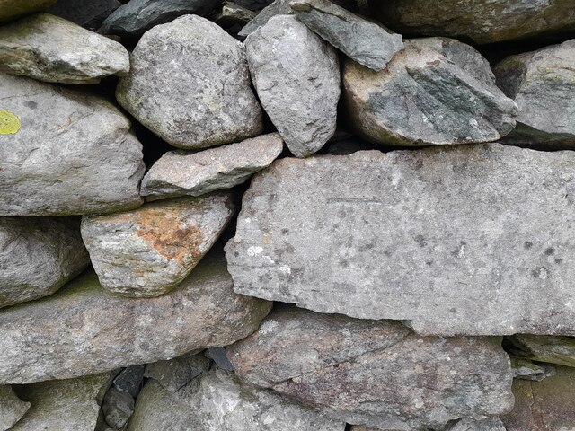
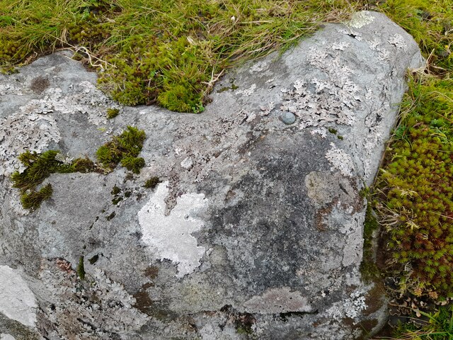
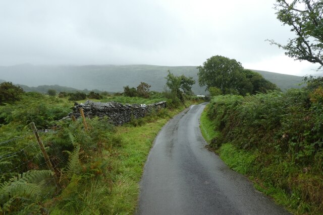
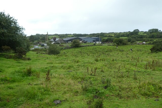
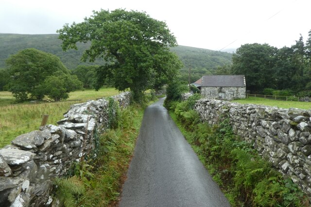
Coed Cefn-cymmerau Images
Images are sourced within 2km of 52.822904/-4.0634098 or Grid Reference SH6127. Thanks to Geograph Open Source API. All images are credited.


Coed Cefn-cymmerau is located at Grid Ref: SH6127 (Lat: 52.822904, Lng: -4.0634098)
Unitary Authority: Gwynedd
Police Authority: North Wales
What 3 Words
///riper.anguished.chain. Near Llanbedr, Gwynedd
Nearby Locations
Related Wikis

Afon Cwmnantcol
The River Cwmnantcol (Afon Cwmnantcol in Welsh) is a river in North Wales. It is about 3 miles (5 kilometres) long and has its source at the head of Cwm...

Capel Salem, Llanbedr
Capel Salem is a Grade II listed building in the hamlet of Pentre Gwynfryn, near Llanbedr, Gwynedd, Wales. This Baptist chapel building is located about...
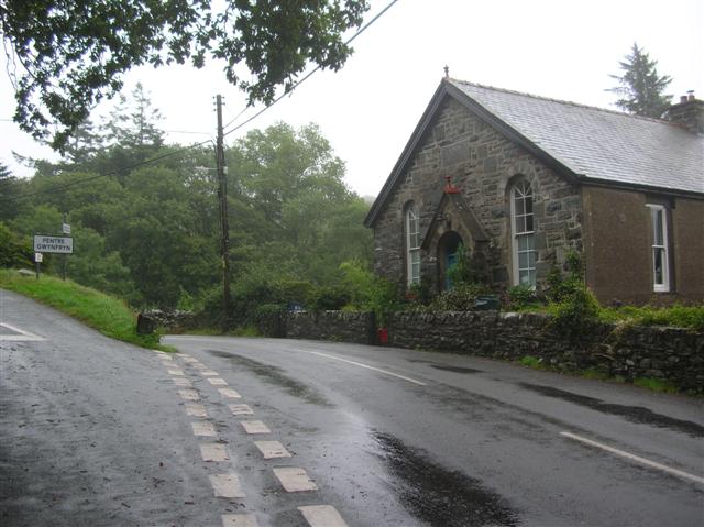
Pentre Gwynfryn
Pentre Gwynfryn is a village in the Ardudwy area of Gwynedd, Wales about 1 mile (1.6 km) east of Llanbedr and the community of the same name. The village...
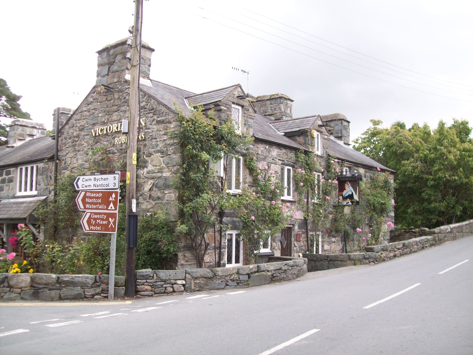
Llanbedr
Llanbedr () is a village and community 2.8 miles (4.5 km) south of Harlech. Administratively, it lies in the Ardudwy area, formerly Meirionnydd, of the...
Ardudwy
Ardudwy is an area of Gwynedd in north-west Wales, lying between Tremadog Bay and the Rhinogydd. Administratively, under the old Kingdom of Gwynedd, it...
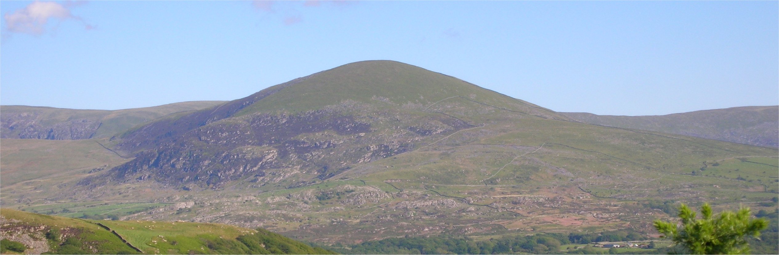
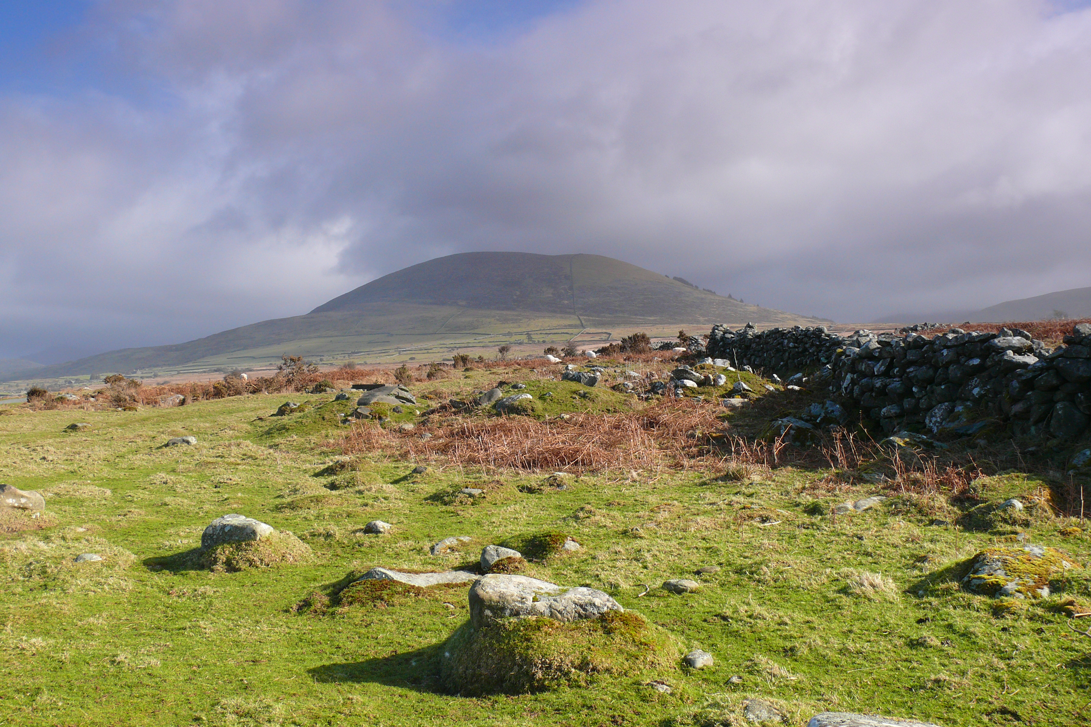
Moelfre (hill)
Moelfre is a hill in Wales on the far western edge of the Snowdonia National Park, 3 miles (4.8 km) from the village of Dyffryn Ardudwy, 5 miles (8.0 km...
Cwm Nantcol
Cwm Nantcol is a valley in the Ardudwy area of the county of Gwynedd in Wales. It lies in the Rhinogydd range of mountains in Snowdonia and carries the...
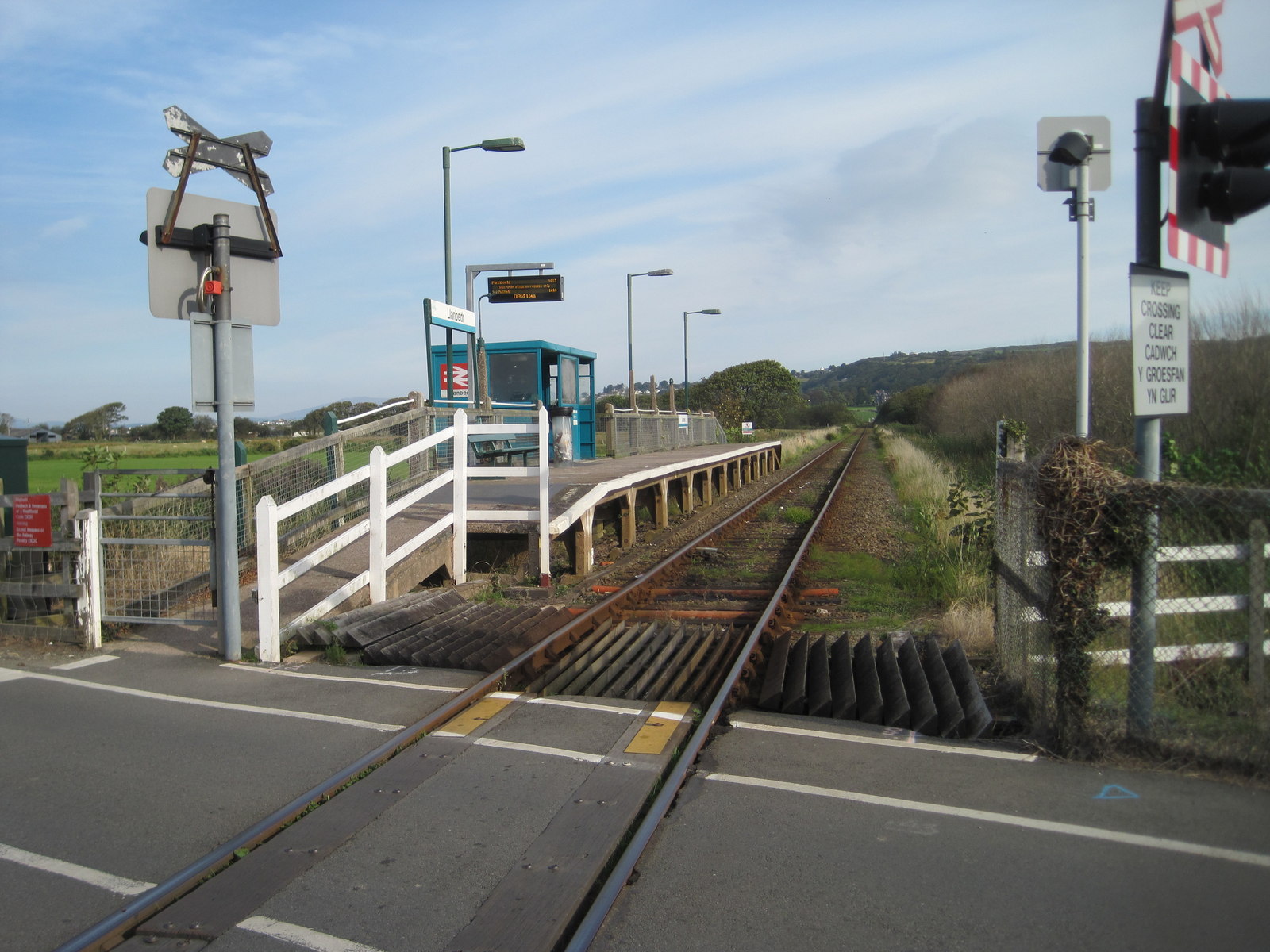
Llanbedr railway station
Llanbedr railway station (formerly Talwrn Bach) serves the village of Llanbedr in Gwynedd, Wales. The station is an unstaffed halt on the Cambrian Coast...
Nearby Amenities
Located within 500m of 52.822904,-4.0634098Have you been to Coed Cefn-cymmerau?
Leave your review of Coed Cefn-cymmerau below (or comments, questions and feedback).