Coed Llethr

Wood, Forest in Carmarthenshire

Wales

Coed Llethr

Two horses Pace Henry Dallal, this does seem to be a good day to submit a photograph of two horses.

<span class="nowrap"><a title="https://news.sky.com/story/queen-celebrates-96th-birthday-as-new-photograph-released-to-mark-occasion-12594524" rel="nofollow ugc noopener" href="https://news.sky.com/story/queen-celebrates-96th-birthday-as-new-photograph-released-to-mark-occasion-12594524">Link</a><img style="margin-left:2px;" alt="External link" title="External link - shift click to open in new window" src="https://s1.geograph.org.uk/img/external.png" width="10" height="10"/></span>
Two horses Credit: Alan Hughes

The requested URL returned error: 429 Too Many Requests

If you have any feedback on the listing, please let us know in the comments section below.
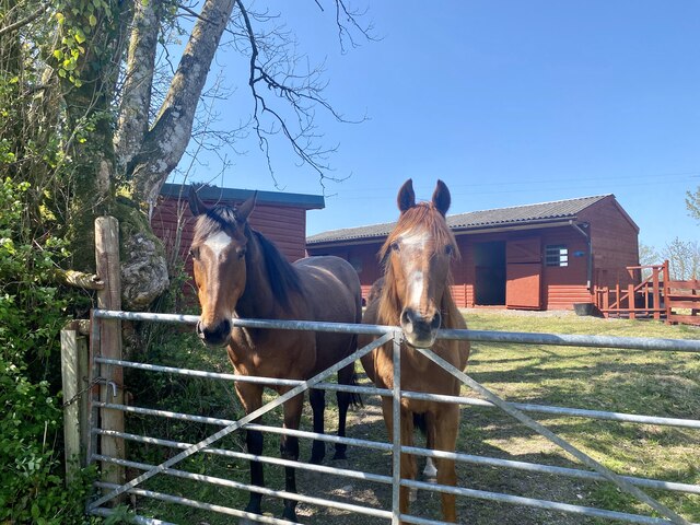
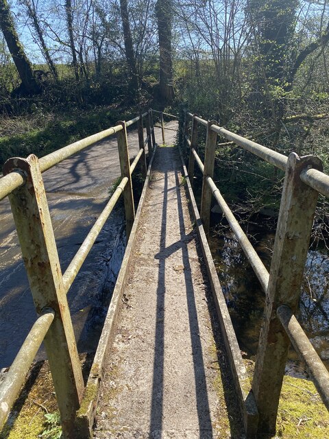
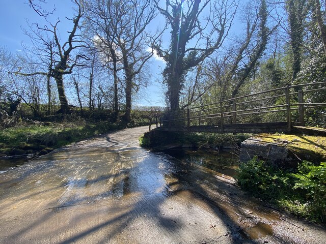
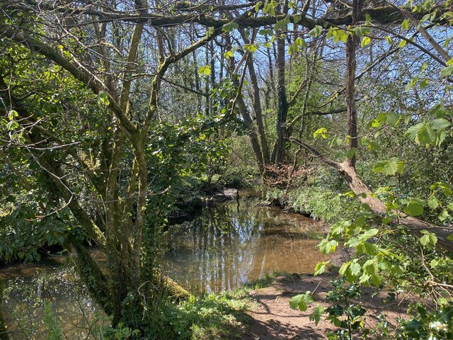
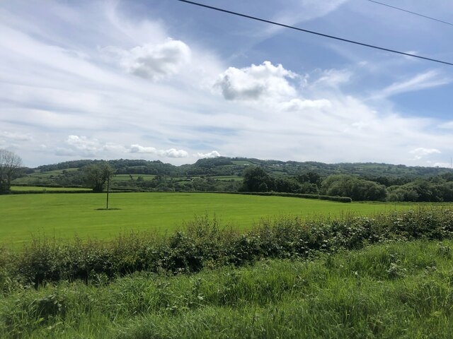
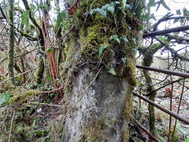
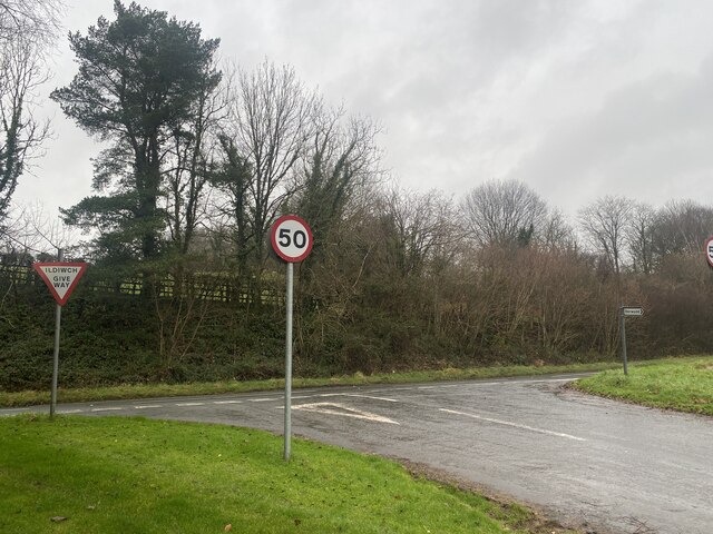
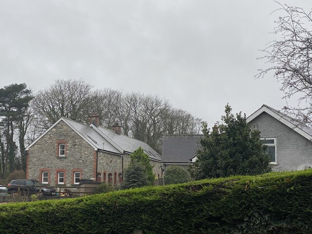
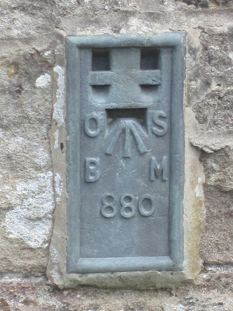
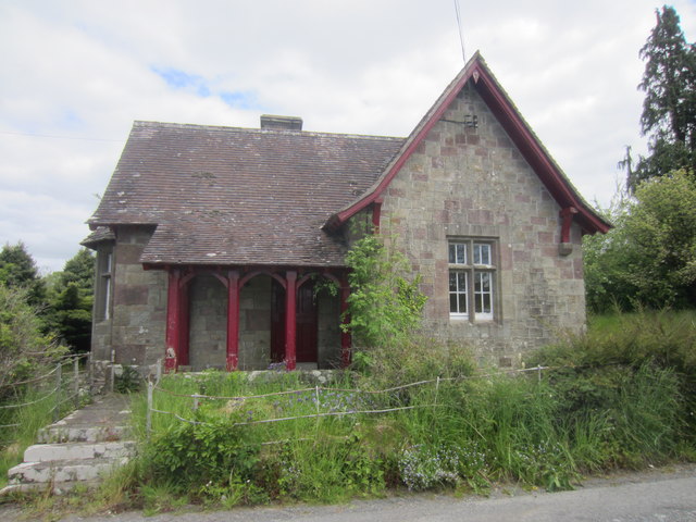
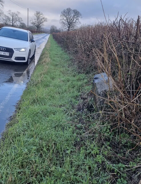
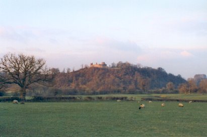
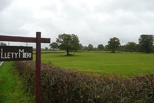
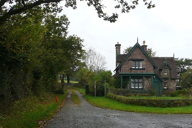
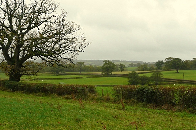
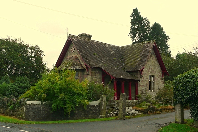
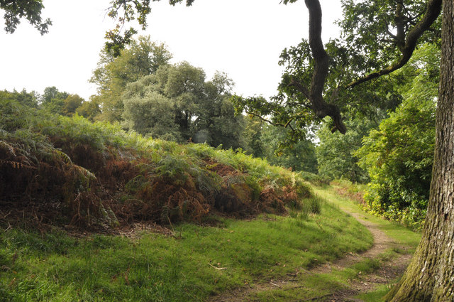
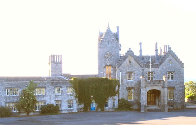
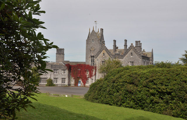
Coed Llethr Images

Images are sourced within 2km of 51.852392/-4.0224213 or Grid Reference SN6019. Thanks to Geograph Open Source API. All images are credited.

Two horses Pace Henry Dallal, this does seem to be a good day to submit a photograph of two horses.

<span class="nowrap"><a title="https://news.sky.com/story/queen-celebrates-96th-birthday-as-new-photograph-released-to-mark-occasion-12594524" rel="nofollow ugc noopener" href="https://news.sky.com/story/queen-celebrates-96th-birthday-as-new-photograph-released-to-mark-occasion-12594524">Link</a><img style="margin-left:2px;" alt="External link" title="External link - shift click to open in new window" src="https://s1.geograph.org.uk/img/external.png" width="10" height="10"/></span>
Two horses
Pace Henry Dallal, this does seem to be a good day to submit a photograph of two horses. LinkExternal link
Old footbridge Bridge over Afon Marlas.
Old footbridge
Bridge over Afon Marlas.
Ford at Afon Marlas
Ford at Afon Marlas
Woodland stream - Afon Marlas
Carmarthenshire countryside Fields for livestock - though none to be seen - and wooded hillsides
Carmarthenshire countryside
Fields for livestock - though none to be seen - and wooded hillsides
Ordnance Survey Cut Mark This OS cut mark can be found on the gatepost east side of the road. it marks a point 130.719m above mean sea level.
Ordnance Survey Cut Mark
This OS cut mark can be found on the gatepost east side of the road. it marks a point 130.719m above mean sea level.
Approaching the A476 junction
Rhyd-y-ffynnon Farm
Rhyd-y-ffynnon Farm
Old Milestone by the A476, Rhydd-y-ffynnon, Llanarthney parish Stone post by the A476, in parish of Llanarthney (Carmarthenshire District), Rhydd-y-ffynnon. Re-located from the widened A476 to the entrance drive to Cennan Barn. Visible from the road.

Inscription reads:-
From
LLANDILO
3 MILES
To
LLANELLY
14½

Surveyed

Milestone Society National ID: CAM_LOLE03
Old Milestone by the A476, Rhydd-y-ffynnon, Llanarthney parish
Stone post by the A476, in parish of Llanarthney (Carmarthenshire District), Rhydd-y-ffynnon. Re-located from the widened A476 to the entrance drive to Cennan Barn. Visible from the road. Inscription reads:- From LLANDILO 3 MILES To LLANELLY 14½ Surveyed Milestone Society National ID: CAM_LOLE03
Ordnance Survey Flush Bracket (880) This OS Flush Bracket (880) can be found on the south west face of the North Lodge of the Golden Grove/Gelli Aur Estate. It was used during the Second Geodetic Levelling of England & Wales (1912-21) Carmarthen - Llandovery Levelling Line. Also the Third Geodetic Levelling of England & Wales (1950-68) Llandovery - Carmarthen Levelling Line. It marks a point 78.4380ft above mean sea level.
Ordnance Survey Flush Bracket (880)
This OS Flush Bracket (880) can be found on the south west face of the North Lodge of the Golden Grove/Gelli Aur Estate. It was used during the Second Geodetic Levelling of England & Wales (1912-21) Carmarthen - Llandovery Levelling Line. Also the Third Geodetic Levelling of England & Wales (1950-68) Llandovery - Carmarthen Levelling Line. It marks a point 78.4380ft above mean sea level.
Gelli Aur Estate, North Lodge South west face of North Lodge.
Gelli Aur Estate, North Lodge
South west face of North Lodge.
Old Milestone by the B4300, west of Ffairfach Milestone by the B4300, in parish of Dyffryn Cennen (Carmarthenshire District), Ffairfach, 330m East of crossroads, South side of road.

Inscription reads:-
FROM
Carmarthen
13 Miles
TO
Llandilo
1¾
Carved benchmark and rivet on top.

Grade II listed by Cadw.
Reference Number: 20909 <span class="nowrap"><a title="https://cadwpublic-api-staging.azurewebsites.net/reports/listedbuilding/FullReport?lang=&id=20909" rel="nofollow ugc noopener" href="https://cadwpublic-api-staging.azurewebsites.net/reports/listedbuilding/FullReport?lang=&id=20909">Link</a><img style="margin-left:2px;" alt="External link" title="External link - shift click to open in new window" src="https://s1.geograph.org.uk/img/external.png" width="10" height="10"/></span>

Milestone Society National ID: CAM_CMLO13
Old Milestone by the B4300, west of Ffairfach
Milestone by the B4300, in parish of Dyffryn Cennen (Carmarthenshire District), Ffairfach, 330m East of crossroads, South side of road. Inscription reads:- FROM Carmarthen 13 Miles TO Llandilo 1¾ Carved benchmark and rivet on top. Grade II listed by Cadw. Reference Number: 20909 LinkExternal link Milestone Society National ID: CAM_CMLO13
Over the fields to Dynevor Castle The ruins of Dinevor Castle seen from the B4300, nr Llandeilo.
Over the fields to Dynevor Castle
The ruins of Dinevor Castle seen from the B4300, nr Llandeilo.
Entrance to Llety Mieri A farm on the B4300 in the valley of the Afon Tywi.
Entrance to Llety Mieri
A farm on the B4300 in the valley of the Afon Tywi.
East Lodge Off the B4300, the former east entrance to the Gelli Aur estate.
East Lodge
Off the B4300, the former east entrance to the Gelli Aur estate.
Farmland at Hendy The B4300 runs obliquely across the picture of farmland in the north of the square.
Farmland at Hendy
The B4300 runs obliquely across the picture of farmland in the north of the square.
North Lodge Although this building is not named on the map, North Lodge seems applicable.  It is another entrance to the former Gelli Aur estate, and the entrance further east has a similar building called East Lodge.
North Lodge
Although this building is not named on the map, North Lodge seems applicable. It is another entrance to the former Gelli Aur estate, and the entrance further east has a similar building called East Lodge.
Path on north edge of the deer park - Gelli Aur Country Park Bracken grows thickly on one side of the path with deciduous woodland, to the north, on the other.
Path on north edge of the deer park - Gelli Aur Country Park
Bracken grows thickly on one side of the path with deciduous woodland, to the north, on the other.
Show me another place!

Coed Llethr is located at Grid Ref: SN6019 (Lat: 51.852392, Lng: -4.0224213)

Unitary Authority: Carmarthenshire

Police Authority: Dyfed Powys

What 3 Words

///homes.translate.celebrate. Near Llandybie, Carmarthenshire

Related Wikis

Gelli Aur country park

Gelli Aur (meaning: Golden Grove) is a country park in Carmarthenshire, Wales, with 60 acres (240,000 m2) of wooded parkland surrounding Golden Grove mansion...

Golden Grove, Carmarthenshire

Golden Grove (Welsh: Gelli Aur) is a mansion and estate in the Welsh county of Carmarthenshire, located 4 miles (6 km) southwest of Llandeilo. == History... ==

Derwydd Road railway station

Derwydd Road railway station served the hamlet of Derwydd, in the historical county of Glamorganshire, Wales, from 1857 to 1966 on the Llanelly Railway...

Milo, Carmarthenshire

Milo is a small village of some 50 homes in the parish of Llanfihangel Aberbythych, some three miles north of Ammanford in Carmarthenshire, Wales. According...

Have you been to Coed Llethr?

Leave your review of Coed Llethr below (or comments, questions and feedback).