Coed Afon-ddu

Wood, Forest in Merionethshire

Wales

Coed Afon-ddu

View from A493 over the Dysynni Valley
View from A493 over the Dysynni Valley Credit: Richard Hoare

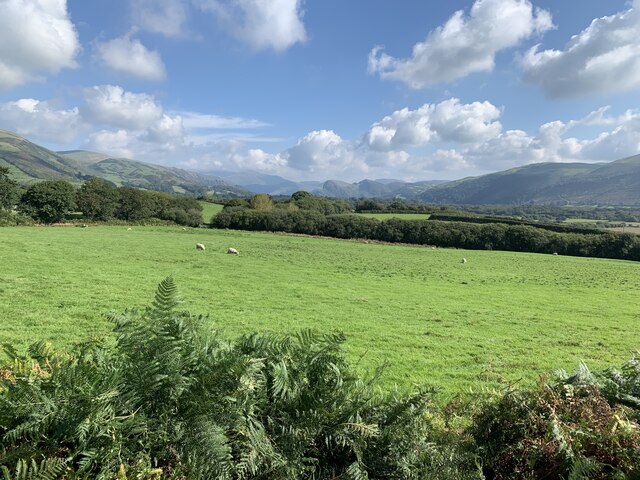
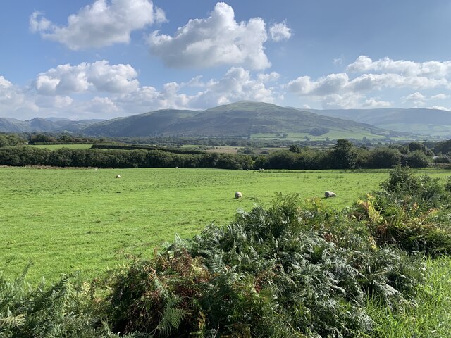
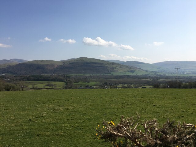
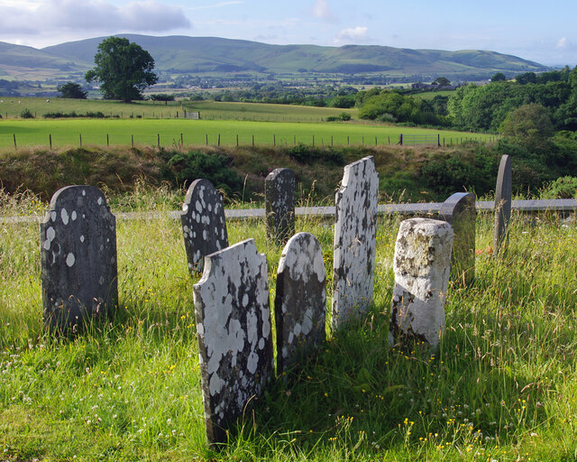
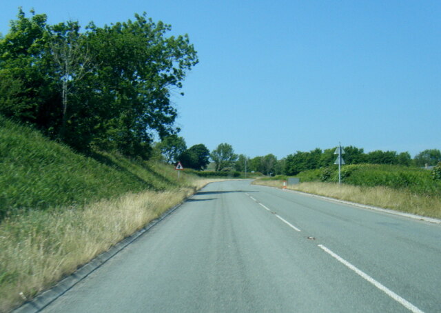
Coed Afon-ddu, located in Merionethshire, is a picturesque wood or forest that offers visitors a tranquil escape into nature. Covering an area of approximately 100 acres, it is renowned for its outstanding natural beauty and diverse range of flora and fauna.

The forest is situated along the banks of the Afon-ddu River, which adds to its enchanting atmosphere. Visitors can enjoy the soothing sound of the flowing water as they explore the woodland trails. The trees in Coed Afon-ddu are predominantly native species, including oak, beech, and birch, creating a rich and varied ecosystem.

Nature enthusiasts will appreciate the abundance of wildlife that calls this forest home. It is a haven for birdwatchers, with a variety of species, such as woodpeckers, owls, and finches, making regular appearances. Squirrels, badgers, and foxes can also be spotted, adding to the allure of the woodland experience.

Coed Afon-ddu offers a range of activities for visitors to enjoy. There are well-maintained paths that cater to walkers and hikers of all abilities, allowing them to explore the forest at their own pace. The woodland also provides an excellent setting for picnics, with designated areas for visitors to relax and enjoy the surroundings.

In summary, Coed Afon-ddu is a captivating woodland retreat in Merionethshire that offers a serene and scenic experience. With its diverse array of plant and animal life, as well as its well-maintained trails, it is a must-visit destination for nature lovers and those seeking a peaceful escape from the hustle and bustle of everyday life.

If you have any feedback on the listing, please let us know in the comments section below.

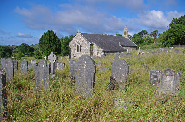
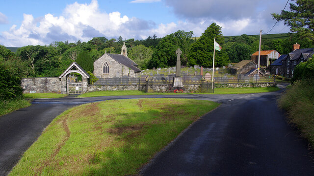
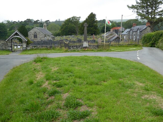
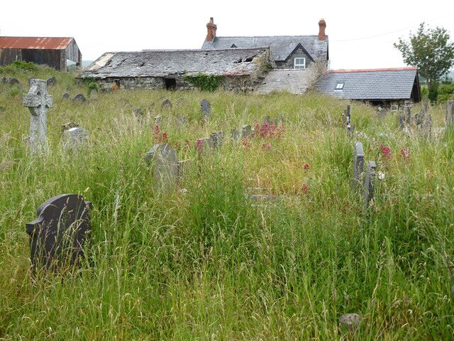
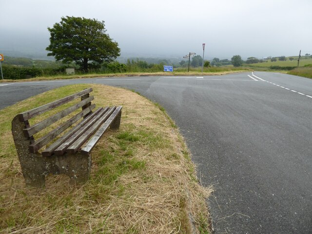
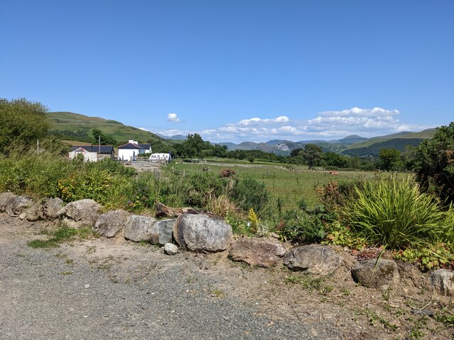
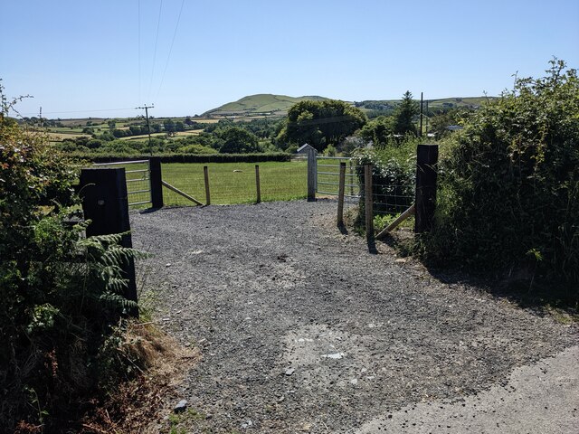
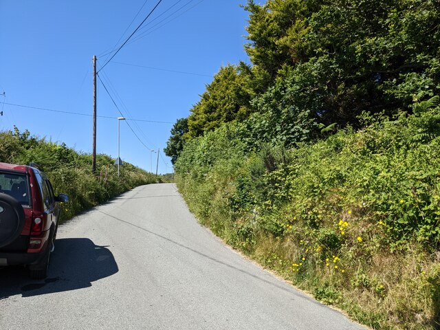
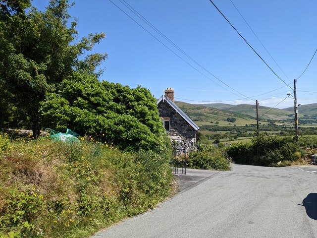
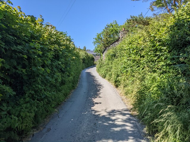
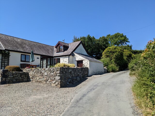
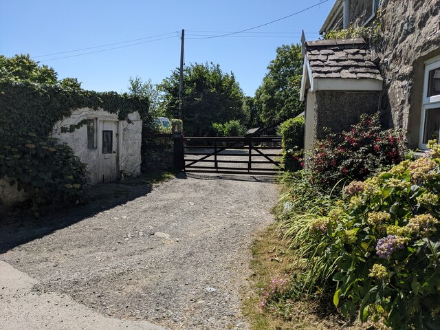
Coed Afon-ddu Images

Images are sourced within 2km of 52.638718/-4.064586 or Grid Reference SH6006. Thanks to Geograph Open Source API. All images are credited.

View from A493 over the Dysynni Valley
View from A493 across the Dysynni Valley
Farmland near Llanegryn
Llanegryn churchyard
SS Mary & Egryn's Church, Llanegryn Grade I Listed Building - #4729
SS Mary & Egryn's Church, Llanegryn
Grade I Listed Building - #4729
SS Mary & Egryn's Church, Llanegryn Church - Grade I Listed Building - #4729
Lych gate - Grade II Listed Building - #4730 
War memorial also visible
SS Mary & Egryn's Church, Llanegryn
Church - Grade I Listed Building - #4729 Lych gate - Grade II Listed Building - #4730 War memorial also visible
Llanegryn church SS Mary & Egryn's Church in Llanegryn.  The church is Grade I listed, see: <span class="nowrap"><a title="https://coflein.gov.uk/en/site/43890?term=Mary%20%26%20Egryn%27s%20Church%2C" rel="nofollow ugc noopener" href="https://coflein.gov.uk/en/site/43890?term=Mary%20%26%20Egryn%27s%20Church%2C">Link</a><img style="margin-left:2px;" alt="External link" title="External link - shift click to open in new window" src="https://s1.geograph.org.uk/img/external.png" width="10" height="10"/></span>
Llanegryn church
SS Mary & Egryn's Church in Llanegryn. The church is Grade I listed, see: LinkExternal link
Farm buildings, Llanegryn Farm buildings viewed from Llanegryn churchyard.
Farm buildings, Llanegryn
Farm buildings viewed from Llanegryn churchyard.
Seat beside the A493 Seat beside the A493 on a junction with a minor road to Llanegryn.
Seat beside the A493
Seat beside the A493 on a junction with a minor road to Llanegryn.
The lane to Craig-faden-isaf
Roadside rocks near Bryn-Eglwys
A gateway in Llwyn-y-fynwent
The country lane near Llwyn-y-fynwent
The road junction above Llanegryn
High hedges near Plas-corniog
Plas-corniog near Llanegryn
House and gate near Llanegryn
A493 nearing Llanegryn
Show me another place!

Coed Afon-ddu is located at Grid Ref: SH6006 (Lat: 52.638718, Lng: -4.064586)

Unitary Authority: Gwynedd

Police Authority: North Wales

What 3 Words

///itself.working.sundial. Near Tywyn, Gwynedd

Nearby Locations

Coed y Fron Coed Afon-ddu

Related Wikis

Llanegryn

Llanegryn is a village and a community in Gwynedd, north-west Wales. It was formerly part of the historic county of Merionethshire (Welsh: Meirionnydd...

Peniarth

Peniarth is a village in the community of Meifod, Powys, Wales. It is 87.1 miles (140.2 km) from Cardiff and 156.9 miles (252.5 km) from London. It is...

Ysgol Craig y Deryn

Ysgol Craig y Deryn is a Welsh-medium primary school in Llanegryn in Gwynedd. == General == The school is named after Craig yr Aderyn, a notable hill on...

Afon Fathew

The Afon Fathew (English: River Mathew/Fathew) is a river in Gwynedd, north-west Wales. The river is downstream from the Dolgoch Falls which is a popular...

Nearby Amenities

Located within 500m of 52.638718,-4.064586
Building: yes
Lat/Long: 52.6417987/-4.0691923
Building: yes
Lat/Long: 52.636421/-4.0694712
Direction: 165
Generator Method: photovoltaic
Generator Output Electricity: yes
Generator Solar Modules: 2
Generator Source: solar
Generator Type: solar_photovoltaic_panel
Location: roof
Power: generator
Lat/Long: 52.6377395/-4.0653216
Direction: 165
Generator Method: photovoltaic
Generator Output Electricity: yes
Generator Solar Modules: 6
Generator Source: solar
Generator Type: solar_photovoltaic_panel
Location: roof
Power: generator
Lat/Long: 52.6377288/-4.0653771
Direction: 165
Generator Method: photovoltaic
Generator Output Electricity: yes
Generator Solar Modules: 2
Generator Source: solar
Generator Type: solar_photovoltaic_panel
Location: roof
Power: generator
Lat/Long: 52.6377066/-4.0654913
Direction: 165
Generator Method: photovoltaic
Generator Output Electricity: yes
Generator Solar Modules: 6
Generator Source: solar
Generator Type: solar_photovoltaic_panel
Location: roof
Power: generator
Lat/Long: 52.6377162/-4.0654418
The data included in this document is from www.openstreetmap.org. The data is made available under ODbL.

Have you been to Coed Afon-ddu?

Leave your review of Coed Afon-ddu below (or comments, questions and feedback).