Coed Cymmerau
Wood, Forest in Merionethshire
Wales
Coed Cymmerau
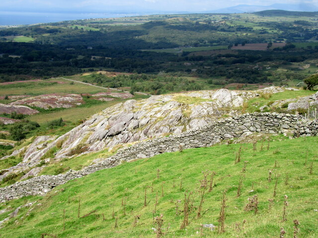
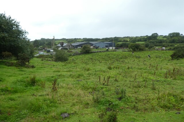
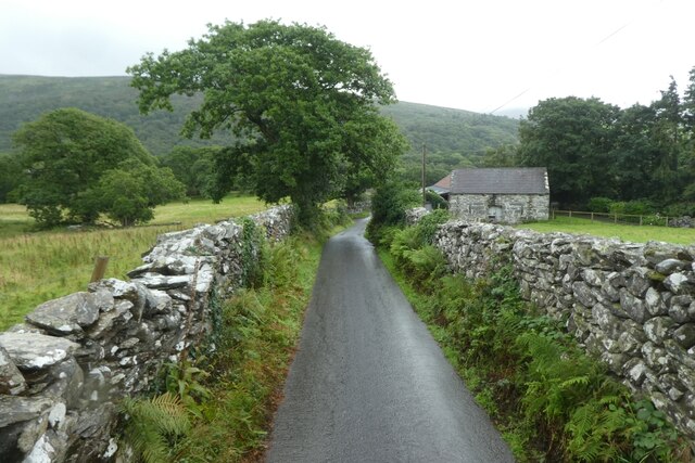
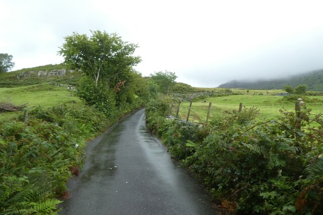
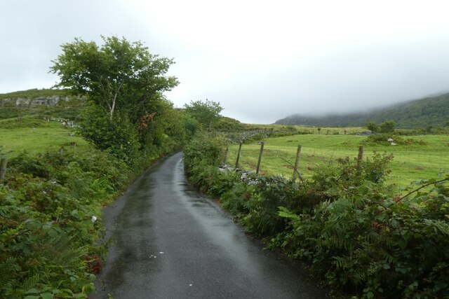
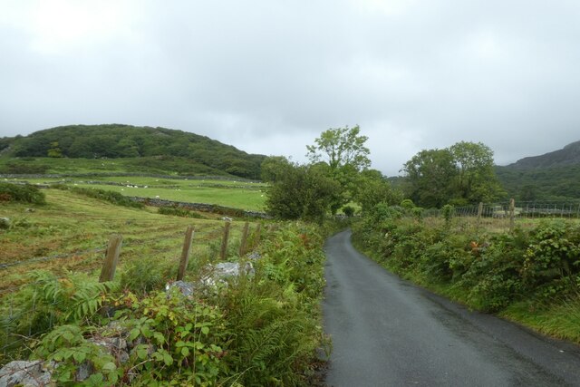
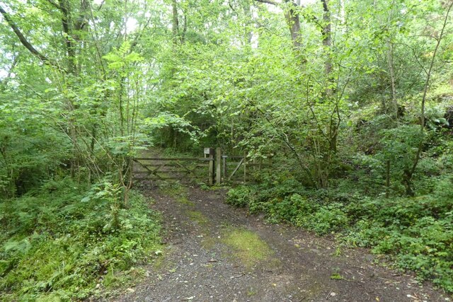
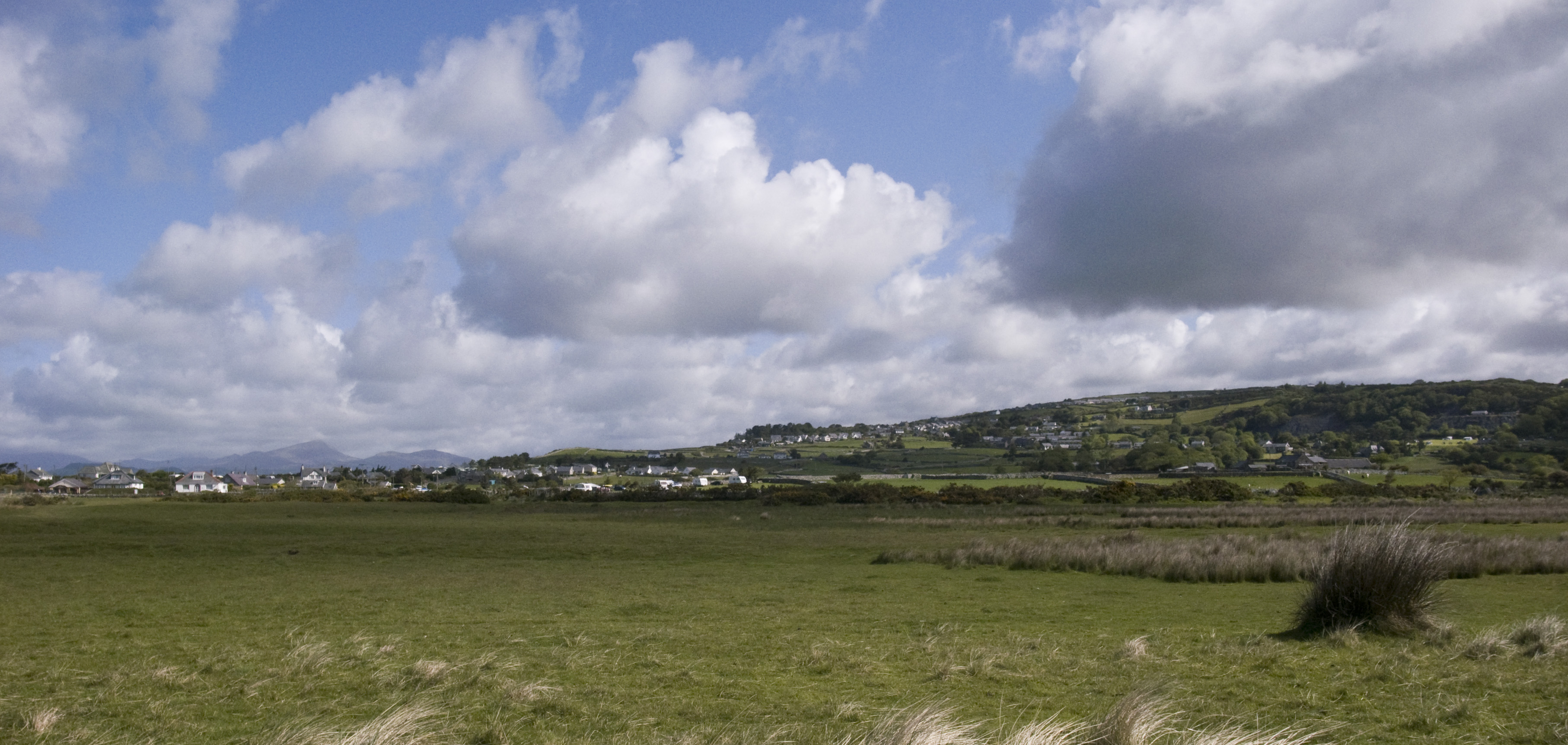
Coed Cymmerau is a picturesque woodland located in the historic county of Merionethshire, Wales. Situated in the heart of the country, this enchanting forest covers an area of approximately 200 acres and offers a tranquil retreat for nature enthusiasts and outdoor adventurers.
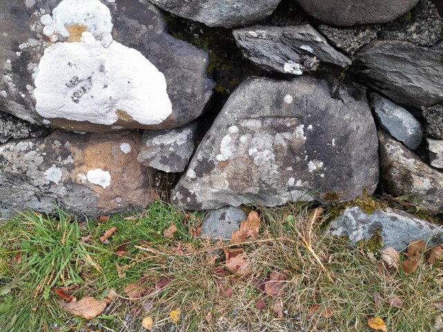
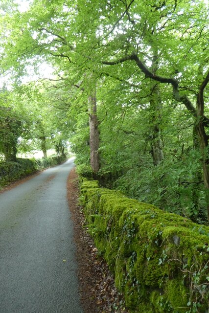
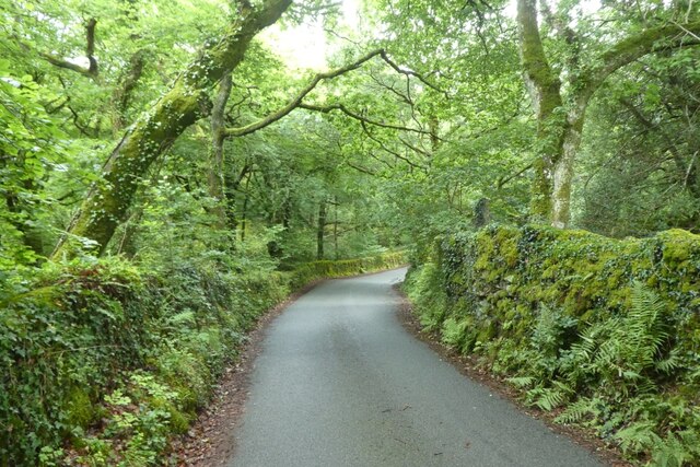
The woodland is characterized by its diverse range of tree species, including oak, beech, birch, and pine. The dense canopy creates a shaded and cool environment, ideal for walking, hiking, and exploring. The forest floor is adorned with a carpet of wildflowers and ferns, adding to the natural beauty of the area.
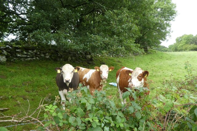
Coed Cymmerau is a haven for wildlife, providing a habitat for various species. Birdwatchers can spot a variety of avian creatures, such as woodpeckers, owls, and songbirds. Squirrels, badgers, and foxes are also known to roam the forest, offering visitors a chance to observe these elusive creatures in their natural environment.
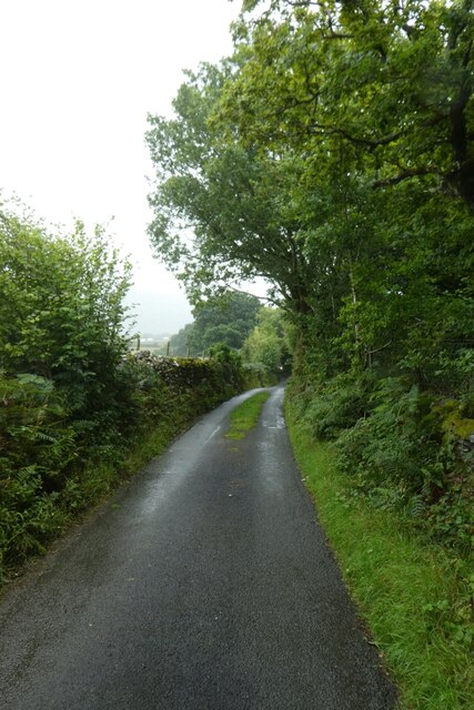
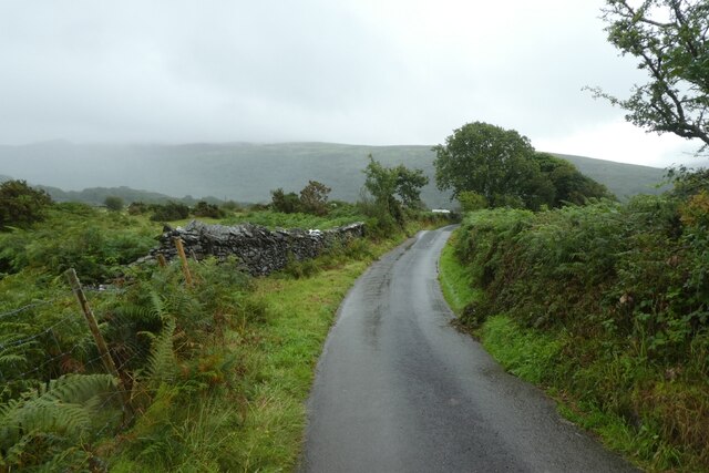
The woodland is crisscrossed by a network of well-maintained trails, allowing visitors to easily navigate through the forest and discover its hidden treasures. These paths cater to all levels of fitness and offer breathtaking views of the surrounding countryside. The tranquility of Coed Cymmerau makes it an ideal location for nature walks, picnics, and photography.
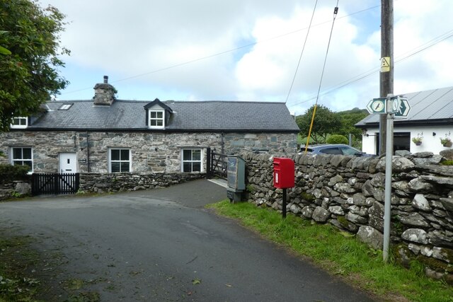
Coed Cymmerau is easily accessible, with ample parking facilities and well-marked entrances. It is a popular destination for locals and tourists alike, who are drawn to its natural beauty and peaceful ambiance. Whether you are seeking a quiet escape from the hustle and bustle of everyday life or an opportunity to immerse yourself in nature, Coed Cymmerau is a must-visit destination in Merionethshire.
If you have any feedback on the listing, please let us know in the comments section below.
Coed Cymmerau Images
Images are sourced within 2km of 52.825094/-4.0760115 or Grid Reference SH6027. Thanks to Geograph Open Source API. All images are credited.

Coed Cymmerau is located at Grid Ref: SH6027 (Lat: 52.825094, Lng: -4.0760115)
Unitary Authority: Gwynedd
Police Authority: North Wales
What 3 Words
///storeroom.statement.ramps. Near Llanbedr, Gwynedd
Nearby Locations
Related Wikis

Capel Salem, Llanbedr
Capel Salem is a Grade II listed building in the hamlet of Pentre Gwynfryn, near Llanbedr, Gwynedd, Wales. This Baptist chapel building is located about...

Afon Cwmnantcol
The River Cwmnantcol (Afon Cwmnantcol in Welsh) is a river in North Wales. It is about 3 miles (5 kilometres) long and has its source at the head of Cwm...
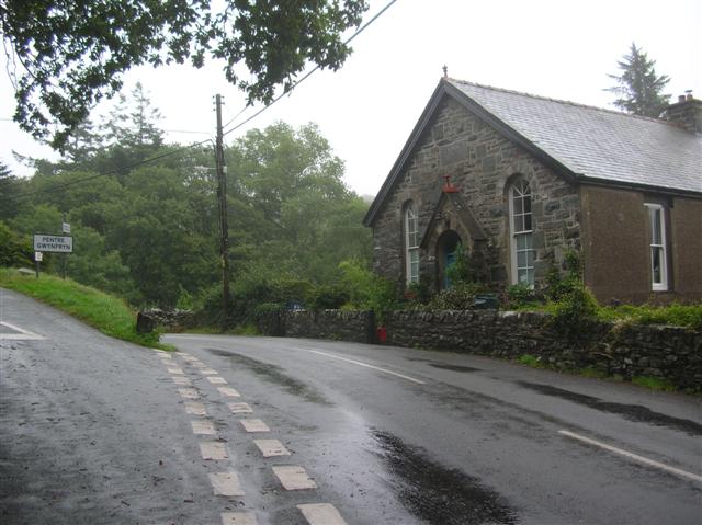
Pentre Gwynfryn
Pentre Gwynfryn is a village in the Ardudwy area of Gwynedd, Wales about 1 mile (1.6 km) east of Llanbedr and the community of the same name. The village...
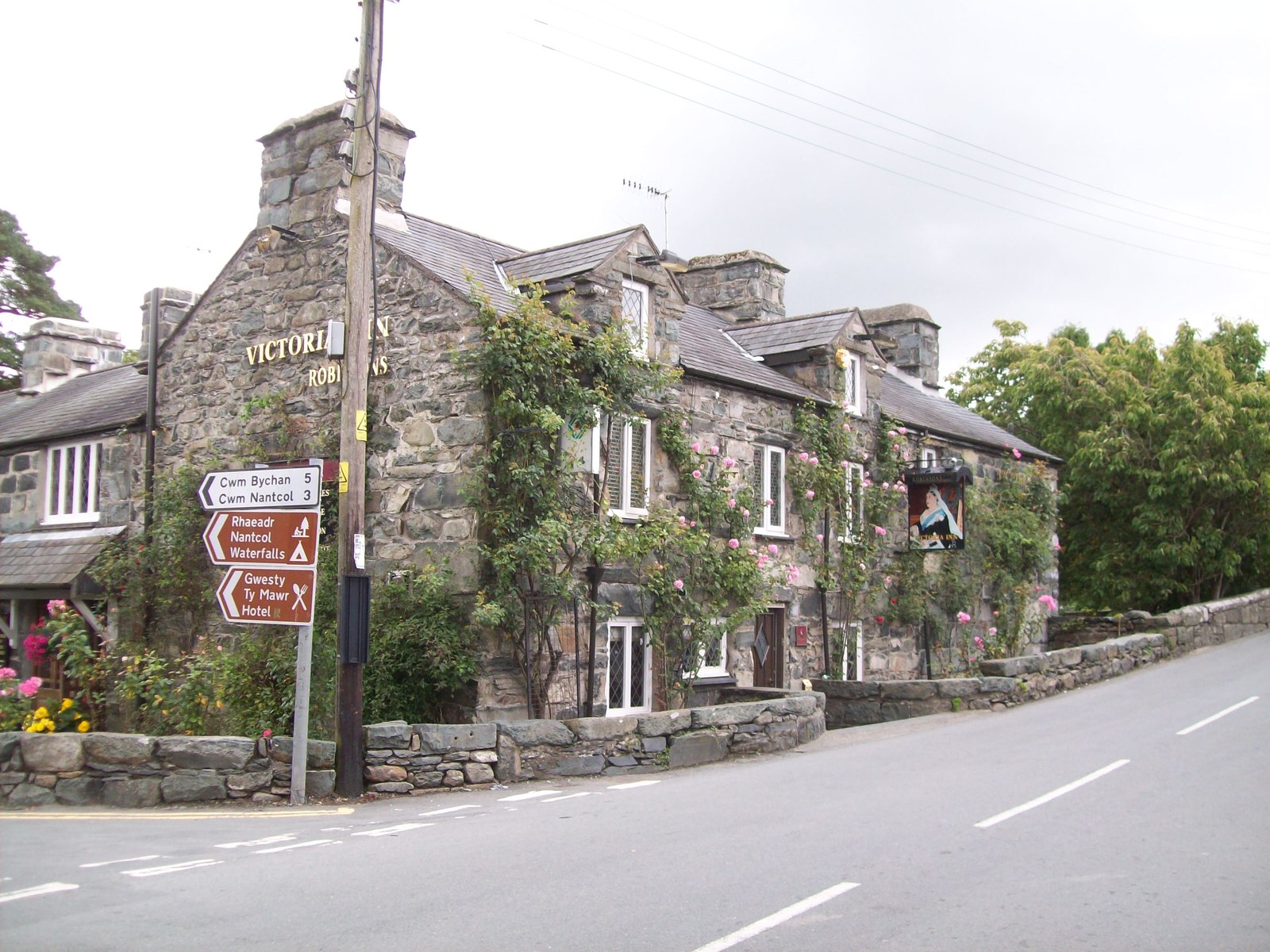
Llanbedr
Llanbedr () is a village and community 2.8 miles (4.5 km) south of Harlech. Administratively, it lies in the Ardudwy area, formerly Meirionnydd, of the...
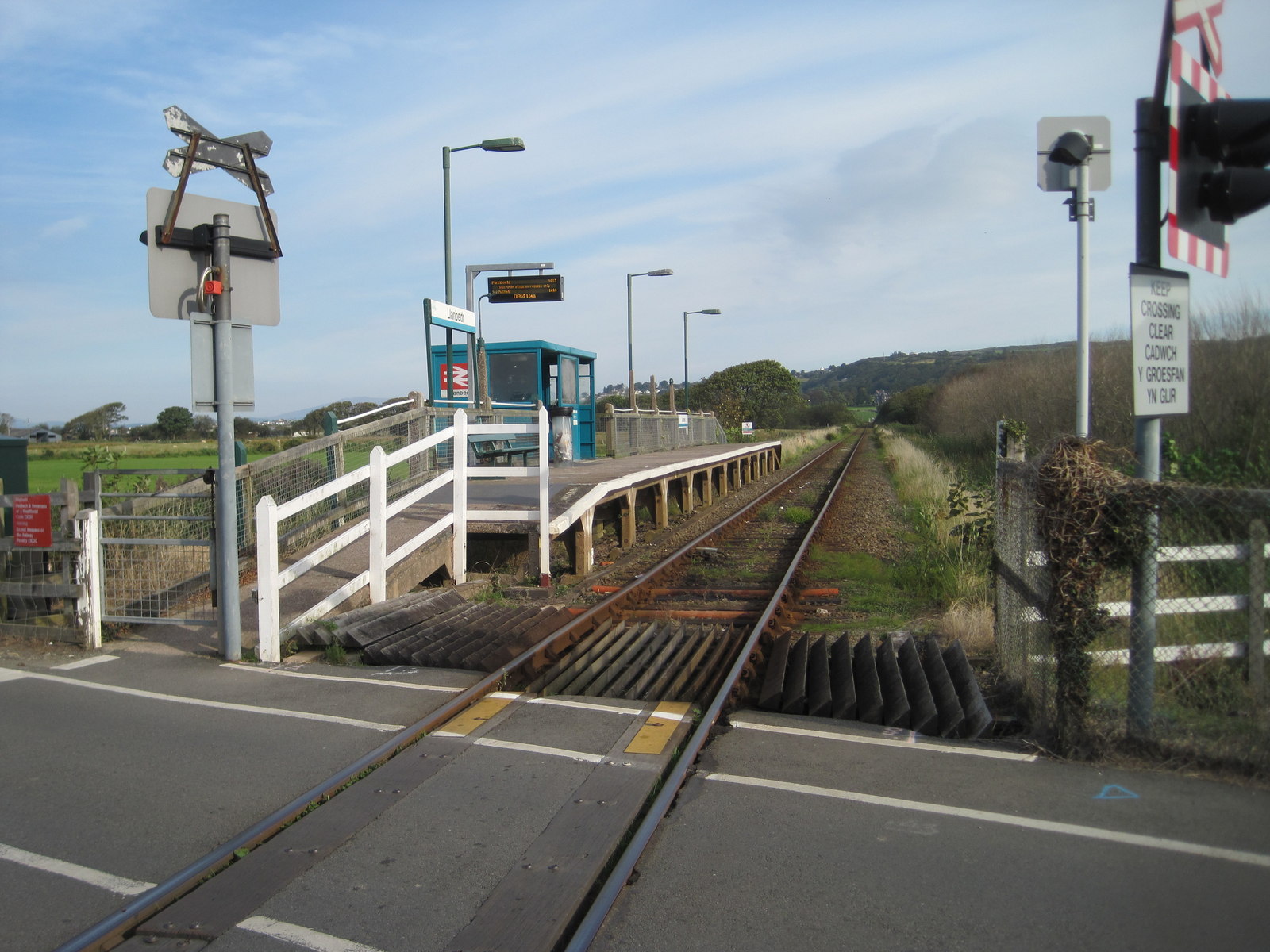
Llanbedr railway station
Llanbedr railway station (formerly Talwrn Bach) serves the village of Llanbedr in Gwynedd, Wales. The station is an unstaffed halt on the Cambrian Coast...

Pensarn, Gwynedd
Pensarn (or Pen-sarn) is a small village in the Ardudwy area of Gwynedd, Wales. It is situated on the coastal road between Llanbedr and Harlech. There...

Pensarn railway station
Pensarn railway station serves the village of Pensarn in Gwynedd, Wales. The station is an unstaffed halt on the Cambrian Coast Railway with passenger...
Llanfair, Gwynedd
Llanfair is a village and community in the Ardudwy area of Gwynedd in Wales. It has a population of 474, reducing to 453 at the 2011 census.The village...
Nearby Amenities
Located within 500m of 52.825094,-4.0760115Have you been to Coed Cymmerau?
Leave your review of Coed Cymmerau below (or comments, questions and feedback).