Coed Careg-wen

Wood, Forest in Merionethshire

Wales

Coed Careg-wen

B4573 at Glasfryn
B4573 at Glasfryn Credit: Colin Pyle

Coed Careg-wen is a picturesque woodland located in Merionethshire, a county in Wales, United Kingdom. Covering an area of approximately 500 acres, this enchanting forest is renowned for its natural beauty and diverse ecosystem.

The woodland is predominantly composed of native broadleaf trees such as oak, beech, and birch, creating a lush and verdant habitat for a wide range of flora and fauna. It is home to a rich variety of plants, including bluebells, wild garlic, and ferns, which carpet the forest floor in a vibrant display during the spring and summer months.

Coed Careg-wen is also a sanctuary for numerous bird species, making it a popular spot for birdwatchers. Visitors may catch a glimpse of woodland birds such as woodpeckers, owls, and songbirds, as well as larger birds of prey like buzzards and red kites soaring through the treetops.

In addition to its natural wonders, the woodland offers several walking trails that wind through its tranquil surroundings. These paths cater to different levels of difficulty, allowing visitors to explore the forest at their own pace. Whether strolling along the gentle pathways or embarking on a more challenging hike, visitors can immerse themselves in the peaceful ambiance of Coed Careg-wen while enjoying breathtaking views of the surrounding countryside.

Overall, Coed Careg-wen is a haven for nature lovers, hikers, and bird enthusiasts alike. Its idyllic woodland setting, diverse flora and fauna, and well-maintained trails make it a must-visit destination for those seeking solace in the beauty of nature.

If you have any feedback on the listing, please let us know in the comments section below.

Coed Careg-wen Images

Images are sourced within 2km of 52.868489/-4.0859881 or Grid Reference SH5932. Thanks to Geograph Open Source API. All images are credited.

B4573 at Glasfryn
B4573 at Glasfryn
Llechwedd du mawr Looking towards the farm from Hen Tyrpeg.
Llechwedd du mawr
Looking towards the farm from Hen Tyrpeg.
A stone circle near Harlech The Rhinogs can be seen in the background.
A stone circle near Harlech
The Rhinogs can be seen in the background.
Moel Goedog and a Standing Stone
Sheep near Moel Goedog With Snowdon in the distance.
Sheep near Moel Goedog
With Snowdon in the distance.
Cairn Circle near Moel Goedog There's another cairn circle a bit further uphill.

Amongst others one can see parts of the Snowdon horseshoe and the Glyders in the distance.
Cairn Circle near Moel Goedog
There's another cairn circle a bit further uphill. Amongst others one can see parts of the Snowdon horseshoe and the Glyders in the distance.
Standing Stone near Moel Goedog With Snowdon in the distance.
Standing Stone near Moel Goedog
With Snowdon in the distance.
Road towards Llanfair
Sheep near Harlech
Sheep near Harlech
Looking south-west from the path to the Harlech Circle
Looking south-east from the path to the Harlech Circle Rhinog Fawr, Rhinog Fach and Y Llethr are shown on the left.
Looking south-east from the path to the Harlech Circle
Rhinog Fawr, Rhinog Fach and Y Llethr are shown on the left.
Path near Moel Goedog
Grassland near Foel Senigl A bit of the Llŷn Peninsula can be seen in the distance.
Grassland near Foel Senigl
A bit of the Llŷn Peninsula can be seen in the distance.
Sheep fields beside the road On the road above Gerddi Bluog.
Sheep fields beside the road
On the road above Gerddi Bluog.
Fenced road to Gerddi Bluog The road heads towards Gerddi Bluog.
Fenced road to Gerddi Bluog
The road heads towards Gerddi Bluog.
Along the fence Looking along the road to Gerddi Bluog.
Along the fence
Looking along the road to Gerddi Bluog.
Fenced and walled road Leading to Gerddi Bluog.
Fenced and walled road
Leading to Gerddi Bluog.
Stream above Gerddi Bluog Looking along a stream from the road to Gerddi Bluog.
Stream above Gerddi Bluog
Looking along a stream from the road to Gerddi Bluog.
Show me another place!

Coed Careg-wen is located at Grid Ref: SH5932 (Lat: 52.868489, Lng: -4.0859881)

Unitary Authority: Gwynedd

Police Authority: North Wales

What 3 Words

///fillers.island.walked. Near Harlech, Gwynedd

Nearby Locations

Coed Careg-wen

Related Wikis

Ellis Wynne

Ellis Wynne (7 March 1671 – 13 July 1734) was a Welsh clergyman and author. He is remembered mainly for one of the most important and influential pieces...
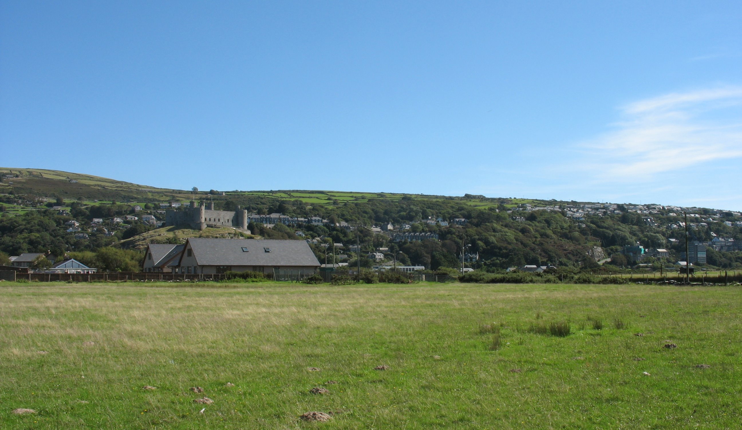
Harlech

Harlech (Welsh pronunciation: [ˈharlɛχ]) is a seaside resort and community in Gwynedd, north Wales and formerly in the historic county of Merionethshire...

Harlech railway station

Harlech railway station is located at a level crossing on the A496 in the centre of the town of Harlech in Gwynedd, North Wales. The waiting shelters were...

Ysgol Ardudwy

Ysgol Ardudwy is a bilingual secondary school for 11–16 year olds at Harlech, Gwynedd, Wales. It serves the seaside communities of Penrhyndeudraeth, Harlech...

Nearby Amenities

Located within 500m of 52.868489,-4.0859881
Source: npe
Lat/Long: 52.8714217/-4.0842329
Source: npe
Lat/Long: 52.8698445/-4.0861241
Source: npe
Lat/Long: 52.8690387/-4.0870287
Source: npe
Lat/Long: 52.8686558/-4.0885994
Source: npe
Lat/Long: 52.8685735/-4.0889489
Source: npe
Lat/Long: 52.8681359/-4.0895944
Source: npe
Lat/Long: 52.8675715/-4.0909249
Source: npe
Lat/Long: 52.8664526/-4.0922949
Power: pole
Lat/Long: 52.8685424/-4.0788587
Power: pole
Lat/Long: 52.868041/-4.0791803
Power: pole
Lat/Long: 52.8675715/-4.0797277
Power: pole
Lat/Long: 52.8671773/-4.0796557
Power: pole
Lat/Long: 52.8665339/-4.0798093
Power: pole
Lat/Long: 52.8662469/-4.0803519
Power: pole
Lat/Long: 52.8659687/-4.080856
Power: pole
Lat/Long: 52.8656904/-4.0813361
Power: pole
Lat/Long: 52.8653368/-4.0817826
Power: pole
Lat/Long: 52.8650006/-4.0822244
Power: pole
Lat/Long: 52.8648672/-4.0827717
Power: pole
Lat/Long: 52.8645877/-4.083383
Power: pole
Lat/Long: 52.8645977/-4.0838184
Power: pole
Lat/Long: 52.8646209/-4.0846058
Power: pole
Lat/Long: 52.8670249/-4.0804295
Power: pole
Lat/Long: 52.8668699/-4.0798059
Power: pole
Lat/Long: 52.8666056/-4.0808521
Power: pole
Lat/Long: 52.8660191/-4.0816342
Power: pole
Lat/Long: 52.8654764/-4.0824014
Power: pole
Lat/Long: 52.865053/-4.0831087
Power: pole
Lat/Long: 52.8650349/-4.0843673
Power: pole
Lat/Long: 52.8655162/-4.0853682
Power: pole
Lat/Long: 52.8657043/-4.0857998
Power: pole
Lat/Long: 52.8658526/-4.0861714
Natural: spring
Lat/Long: 52.8641481/-4.0848487
Natural: spring
Source: survey
Lat/Long: 52.8667612/-4.0826306
Natural: spring
Lat/Long: 52.8699516/-4.0793879
Power: pole
Lat/Long: 52.8693485/-4.0919362
Power: pole
Lat/Long: 52.8689712/-4.090815
Power: pole
Lat/Long: 52.8682032/-4.0914863
Power: pole
Lat/Long: 52.8663787/-4.0875435
Natural: spring
Lat/Long: 52.8662659/-4.0901169
Power: pole
Lat/Long: 52.8675424/-4.0912692
Power: pole
Lat/Long: 52.8647995/-4.0838057
The data included in this document is from www.openstreetmap.org. The data is made available under ODbL.

Have you been to Coed Careg-wen?

Leave your review of Coed Careg-wen below (or comments, questions and feedback).