Burnhouse Mains
Settlement in Midlothian
Scotland
Burnhouse Mains
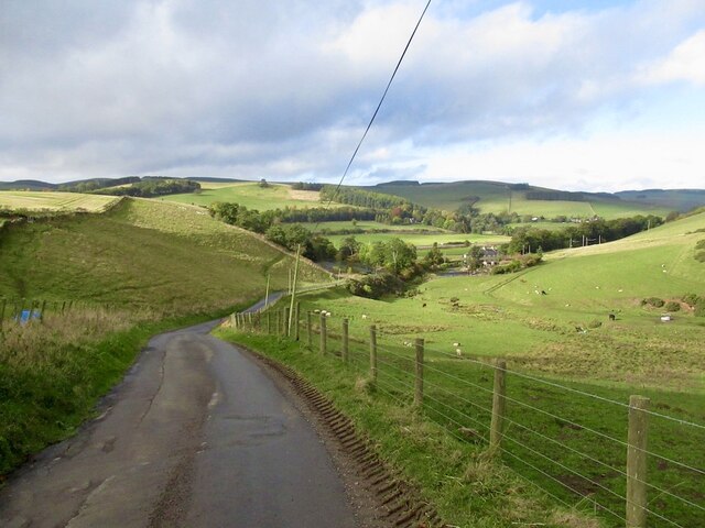
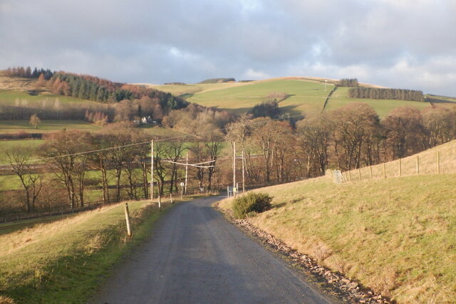
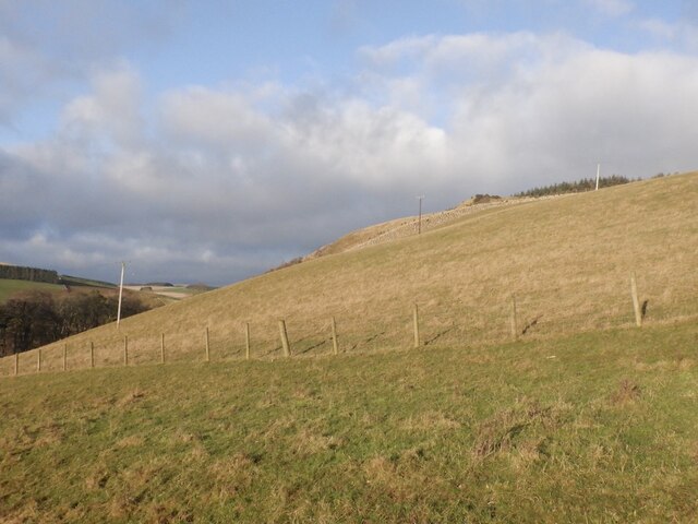
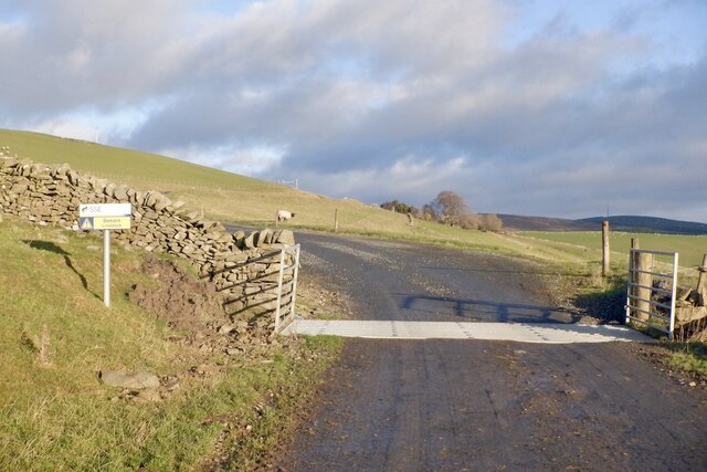
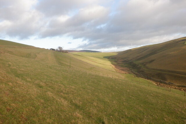
Burnhouse Mains is a small village in Midlothian, Scotland, located approximately 10 miles southeast of the capital city, Edinburgh. It is situated in a rural area surrounded by stunning countryside and rolling hills, offering residents a tranquil and picturesque setting.
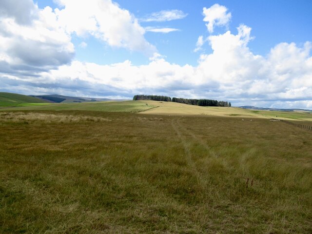
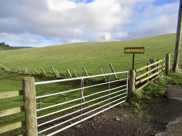
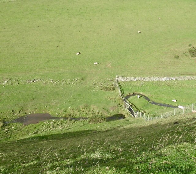
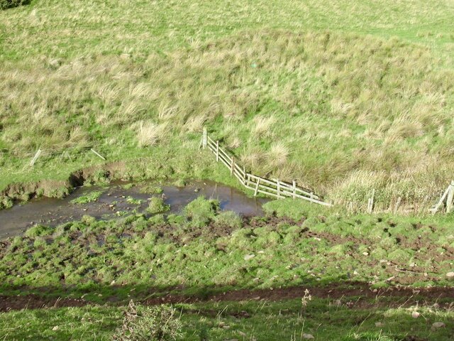
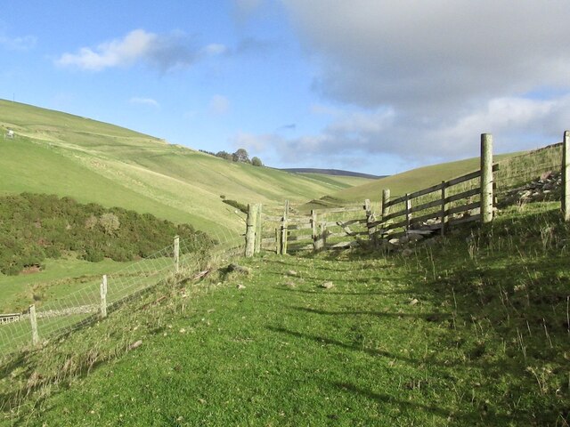
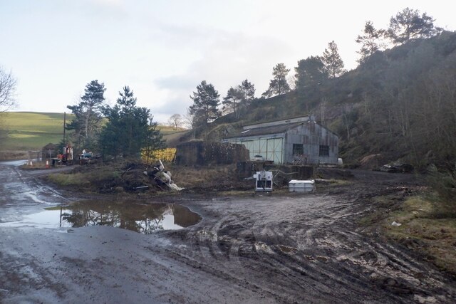
The village is primarily known for its agricultural heritage, with a number of farms and agricultural businesses still operating in the area. The lush green fields and farmland contribute to the village's idyllic charm, attracting visitors who enjoy outdoor activities such as hiking, cycling, and horseback riding.
Housing in Burnhouse Mains consists mainly of traditional stone cottages and farmhouses, giving the village a timeless and rustic feel. The tight-knit community of residents contributes to the friendly and welcoming atmosphere that characterizes the village.
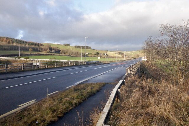
While Burnhouse Mains is a primarily residential area, it is conveniently located near several amenities. The nearby town of Penicuik provides residents with access to supermarkets, shops, and a range of services. Additionally, the city of Edinburgh is within easy reach, offering a wider array of amenities, including shopping centers, restaurants, and cultural attractions.
Overall, Burnhouse Mains is a charming rural village that offers a peaceful and close-knit community, surrounded by beautiful countryside. Its proximity to both rural and urban areas makes it an ideal location for those seeking a tranquil lifestyle while still having access to essential amenities.
If you have any feedback on the listing, please let us know in the comments section below.
Burnhouse Mains Images
Images are sourced within 2km of 55.731149/-2.8932717 or Grid Reference NT4449. Thanks to Geograph Open Source API. All images are credited.


Burnhouse Mains is located at Grid Ref: NT4449 (Lat: 55.731149, Lng: -2.8932717)
Unitary Authority: The Scottish Borders
Police Authority: The Lothians and Scottish Borders
What 3 Words
///monday.mystified.began. Near Lauder, Scottish Borders
Nearby Locations
Related Wikis

Allanshaugh
Allanshaugh is a fermtoun in the Scottish Borders area of Scotland. == See also == List of places in the Scottish Borders List of places in Scotland...

Fountainhall railway station
Fountainhall railway station served the village of Fountainhall, Scottish Borders from 1848 to 1969 on the Waverley Route. == History == The station opened...
Halltree
Halltree is a hamlet in the Scottish Borders. == Etymology == The etymology of Halltree is debated, but the second element is likely to be a Cumbric word...
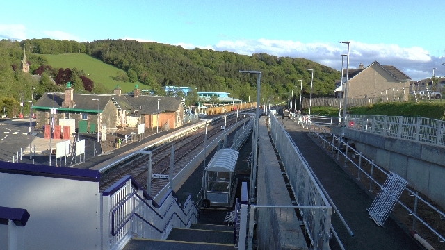
Stow railway station
Stow is a railway station on the Borders Railway, which runs between Edinburgh Waverley and Tweedbank. The station, situated 26 miles 45 chains (43 km...
Nearby Amenities
Located within 500m of 55.731149,-2.8932717Have you been to Burnhouse Mains?
Leave your review of Burnhouse Mains below (or comments, questions and feedback).