Allt Aberglasney

Wood, Forest in Carmarthenshire

Wales

Allt Aberglasney

A40 eastbound at Lanlash
A40 eastbound at Lanlash Credit: Colin Pyle

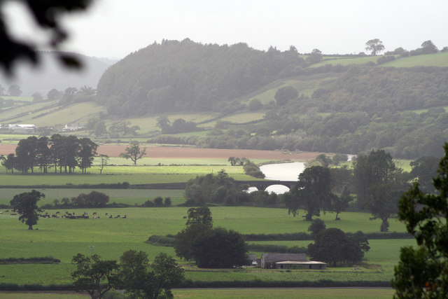
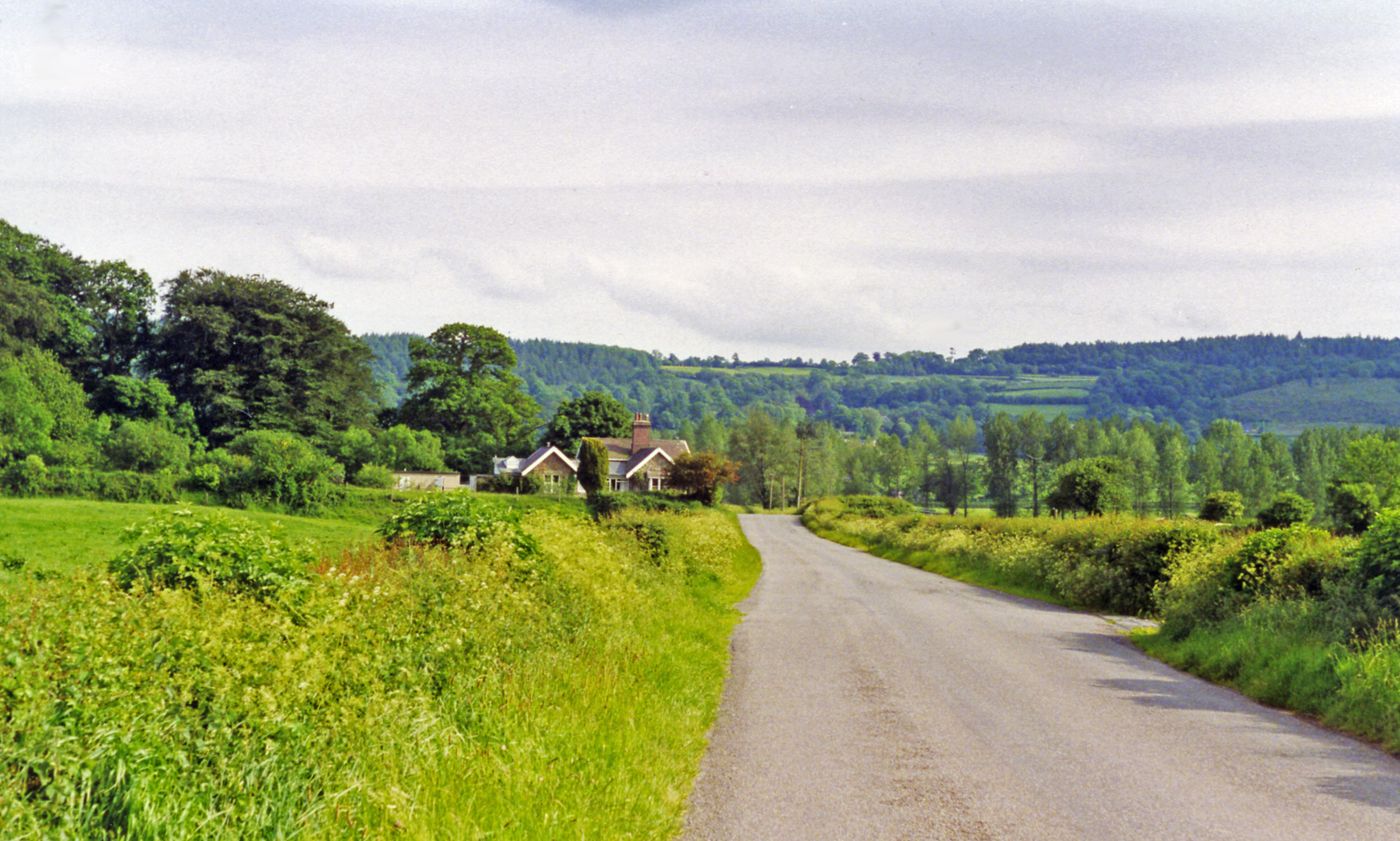
Allt Aberglasney is a stunning woodland located in Carmarthenshire, Wales. Spanning over 10 acres, it is a haven for nature enthusiasts and those seeking tranquility amidst the beauty of nature.

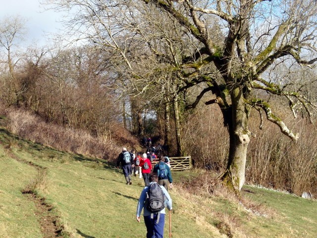
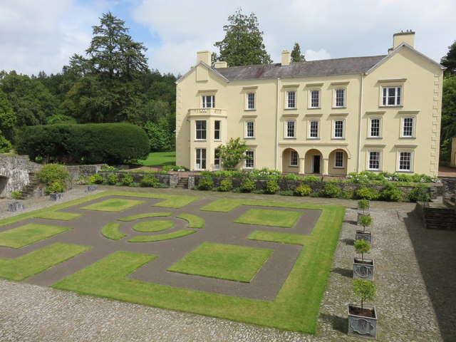
The woodland is situated adjacent to the famous Aberglasney Gardens, which adds to its appeal and charm. It is accessible to the public and offers a range of activities for visitors to enjoy. Walking trails meander through the forest, allowing visitors to explore its diverse flora and fauna. The woodland is home to a variety of tree species, including oak, beech, and ash, which create a lush and vibrant canopy.

Birdwatchers will delight in the opportunity to spot a wide range of avian species, such as woodpeckers, nuthatches, and treecreepers. Small mammals, including voles and shrews, can also be observed scurrying through the undergrowth. In spring, the woodland is adorned with a colorful display of wildflowers, creating a picturesque and serene atmosphere.

Allt Aberglasney is not only a haven for wildlife but also a place of historical significance. The woodland is believed to have been a deer park during medieval times, and remnants of its past can still be seen, including the remains of an old deer fence.

For those looking to immerse themselves in nature, Allt Aberglasney provides a peaceful and idyllic retreat. Whether strolling along the forest trails, picnicking in a secluded spot, or simply enjoying the tranquility, visitors are sure to find solace and beauty in this enchanting woodland.

If you have any feedback on the listing, please let us know in the comments section below.

Allt Aberglasney Images

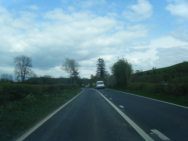
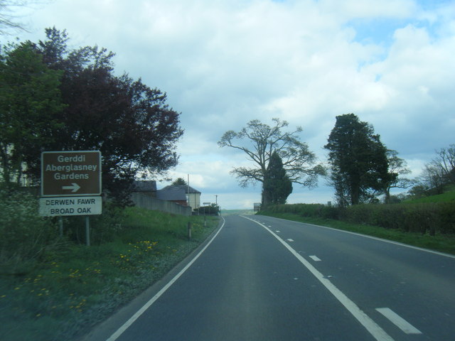
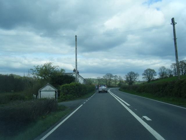
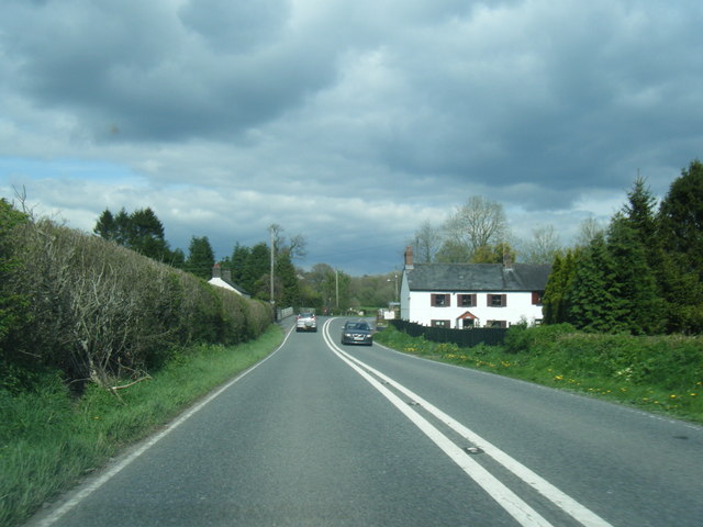
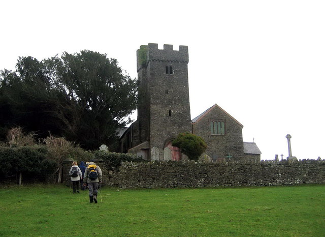
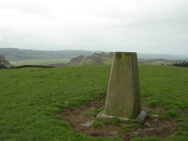
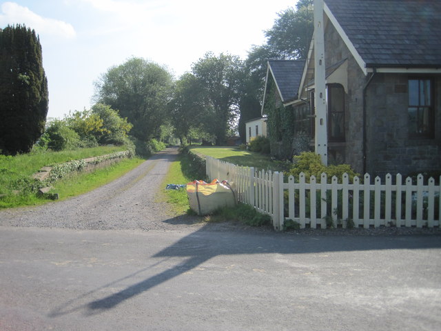
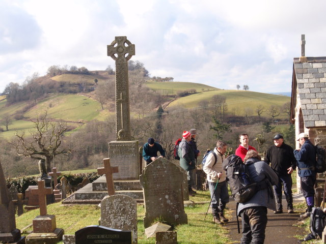
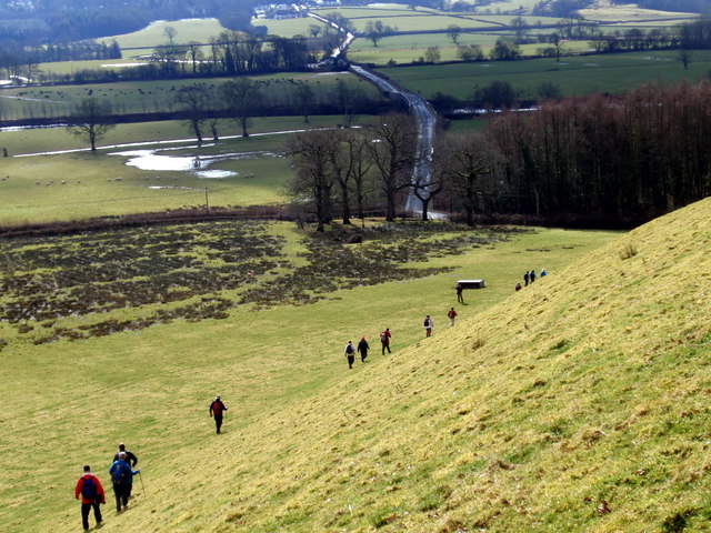
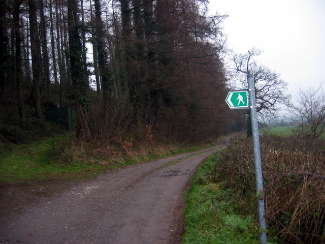
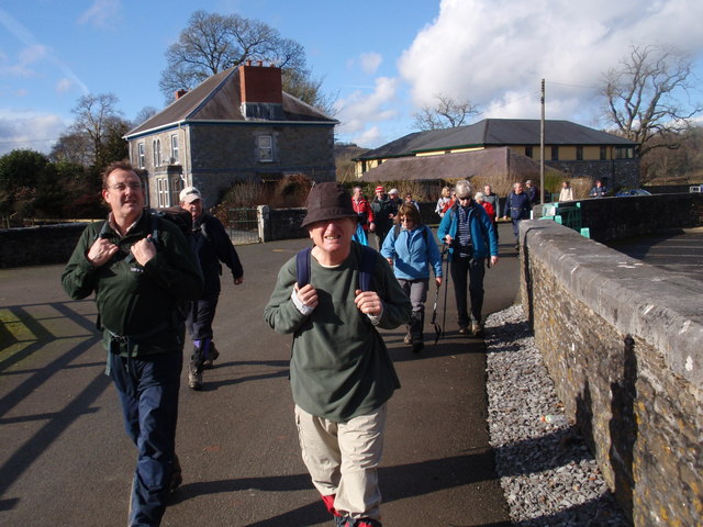
Images are sourced within 2km of 51.883651/-4.0590904 or Grid Reference SN5822. Thanks to Geograph Open Source API. All images are credited.

A40 eastbound at Lanlash
Broad Oak village boundary sign
A40 east of Broad Oak
A40 eastbound at Pentrefelin
Approaching site of Golden Grove station, 1993 View southward from Cilsan Bridge, towards former level-crossing over ex-LNWR branch Llandilo (to left) - (to right) Carmarthen, closed 9/9/63.
Approaching site of Golden Grove station, 1993
View southward from Cilsan Bridge, towards former level-crossing over ex-LNWR branch Llandilo (to left) - (to right) Carmarthen, closed 9/9/63.
Eglwys Llangathen Church Cerddwyr yn anelu at Eglwys Llangathen.

Walkers approaching Llangathen Church.
Eglwys Llangathen Church
Cerddwyr yn anelu at Eglwys Llangathen. Walkers approaching Llangathen Church.
Triangulation Pillar (S2119) Broad Oak Secondary Triangulation Pillar carries Flash Bracket S2119 which marks a point 149.964m above mean sea level.
Triangulation Pillar (S2119)
Broad Oak Secondary Triangulation Pillar carries Flash Bracket S2119 which marks a point 149.964m above mean sea level.
Golden Grove railway station (site), Carmarthenshire Opened in 1865 by the 'Llanelly' Railway on the line from Llandeilo to Carmarthen, this station closed in 1963.
View east from former level crossing towards Llandeilo Bridge and Llandeilo. Now a private residence.
Golden Grove railway station (site), Carmarthenshire
Opened in 1865 by the 'Llanelly' Railway on the line from Llandeilo to Carmarthen, this station closed in 1963. View east from former level crossing towards Llandeilo Bridge and Llandeilo. Now a private residence.
Ger / Near Ffarm y Grongar Farm Cerddwyr ger Ffarm Grongar yn mynd i gyfeiriad Plasty Aberglasne.

Walkers near Grongar (trans. circular fort) heading in the direction of Aberglasne Mansion.
Ger / Near Ffarm y Grongar Farm
Cerddwyr ger Ffarm Grongar yn mynd i gyfeiriad Plasty Aberglasne. Walkers near Grongar (trans. circular fort) heading in the direction of Aberglasne Mansion.
Eglwys Llangathen  / Llangathen Church Cerddwyr y tu fas i Eglwys Llangathen. Yn y pellter ar y gorwel mae bryngaer o'r Oes Haearn o'r enw Grongar (<Grongaer).  

Walkers outside Llangathen Church. In the distance on the horizon is an Iron Age hillfort known as Grongar < Grongaer (trans. circular fort).
Eglwys Llangathen / Llangathen Church
Cerddwyr y tu fas i Eglwys Llangathen. Yn y pellter ar y gorwel mae bryngaer o'r Oes Haearn o'r enw Grongar (<Grongaer). Walkers outside Llangathen Church. In the distance on the horizon is an Iron Age hillfort known as Grongar < Grongaer (trans. circular fort).
Ger / Near Cilsan Bridge Cerddwyr yn mynd i lawr y waered i ymuno a&amp;#039;r heol. Yn y pellter gwelir Pont Cilsan sy&amp;#039;n rhychwantu Afon Tywi.

Walkers descending the hill towards the road. Visible in the distance is Cilsan Bridge which spans the Tywi River.
Ger / Near Cilsan Bridge
Cerddwyr yn mynd i lawr y waered i ymuno a'r heol. Yn y pellter gwelir Pont Cilsan sy'n rhychwantu Afon Tywi. Walkers descending the hill towards the road. Visible in the distance is Cilsan Bridge which spans the Tywi River.
Heol Ffarm y Wern Farm Road Heol yn arwain at Ffarm y Wern a Ffarm Ro Wen. 

Access load leading to Wern Farm (trans.fen) and Ro wen Farm (trans. white gravel).
Heol Ffarm y Wern Farm Road
Heol yn arwain at Ffarm y Wern a Ffarm Ro Wen. Access load leading to Wern Farm (trans.fen) and Ro wen Farm (trans. white gravel).
Ffarm Gelli Aur Farm Cerddwyr yn mynd heibio i Ffarm Gelli Aur (Ty Isaf gynt) a oedd yn ffarm gartref i Blasty Gelli Aur gerllaw. Yn ystod y 1950au fe ddaeth yn goleg amaethyddol gyda&amp;#039;r myfyrwyr yn lletya yn y plas. Er 2004 mae&amp;#039;r campws wedi&amp;#039;i leoli o amgygylch y ffarm. 

Walkers passing Gelli Aur Farm (formerly Ty Isaf Farm). It was once home farm to Golden Grove Mansion. During the 1950s it became an agricultural college with accommodation for students at the mansion. Since 2004 the whole campus is  located at the farm.
Ffarm Gelli Aur Farm
Cerddwyr yn mynd heibio i Ffarm Gelli Aur (Ty Isaf gynt) a oedd yn ffarm gartref i Blasty Gelli Aur gerllaw. Yn ystod y 1950au fe ddaeth yn goleg amaethyddol gyda'r myfyrwyr yn lletya yn y plas. Er 2004 mae'r campws wedi'i leoli o amgygylch y ffarm. Walkers passing Gelli Aur Farm (formerly Ty Isaf Farm). It was once home farm to Golden Grove Mansion. During the 1950s it became an agricultural college with accommodation for students at the mansion. Since 2004 the whole campus is located at the farm.
Aberglasney House  The restored Cloister Garden is in front of the house.
Aberglasney House
The restored Cloister Garden is in front of the house.
Ordnance Survey 1GL Bolt This OS Bolt can be found on the west face of the tower of St Cathen&amp;#039;s Church. It marks a point 94.775m above mean sea level.
Ordnance Survey 1GL Bolt
This OS Bolt can be found on the west face of the tower of St Cathen's Church. It marks a point 94.775m above mean sea level.
Cilsan Bridge, River Towy from Dinefwr Castle On or near the site of the Cilsan Ferry this Grade II Listed bridge was built around 1840-45. The Three Commons Turnpike Trust was dissolved in 1845 and had planned a bridge in this location. The 1839 Tithe map shows an approach road but no bridge. The buildings in the foreground are Towy Cottage
Cilsan Bridge, River Towy from Dinefwr Castle
On or near the site of the Cilsan Ferry this Grade II Listed bridge was built around 1840-45. The Three Commons Turnpike Trust was dissolved in 1845 and had planned a bridge in this location. The 1839 Tithe map shows an approach road but no bridge. The buildings in the foreground are Towy Cottage
Broad Oak A crossroads at a small village, off to the left, on the A40.
Broad Oak
A crossroads at a small village, off to the left, on the A40.
A40 east of Broad Oak Curving past Broad Oak Farm, with woodland on the right on the slopes below Bryn Castell-gwrychion.
A40 east of Broad Oak
Curving past Broad Oak Farm, with woodland on the right on the slopes below Bryn Castell-gwrychion.
Show me another place!

Allt Aberglasney is located at Grid Ref: SN5822 (Lat: 51.883651, Lng: -4.0590904)

Unitary Authority: Carmarthenshire

Police Authority: Dyfed Powys

What 3 Words

///spenders.sleepy.destined. Near Llangathen, Carmarthenshire

Related Wikis

Cathinog Hundred

Cathinog (also spelt Catheiniog, Cetheiniog) was a hundred, a geographic division, in the traditional county of Carmarthenshire, Wales. Its name derives...

Aberglasney

Aberglasney House and Gardens is a medieval house and gardens set in the Tywi valley in the parish of Llangathen, Carmarthenshire, West Wales. It is owned...

Battle of Cadfan

The Battle of Cadfan was fought between English and Welsh forces in 1257. The battle consisted of two military engagements; one at Coed Llathen and the...
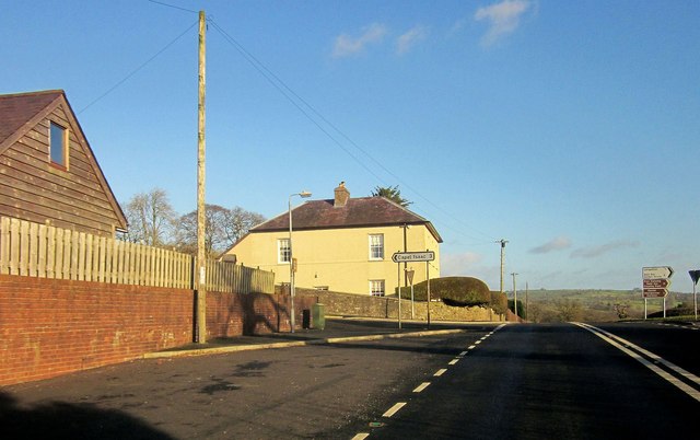
Llangathen

Llangathen () is a village and community located in Carmarthenshire, Wales. The population taken at the 2011 census was 507. The parish church of St Cathen...

Nearby Amenities

Located within 500m of 51.883651,-4.0590904
Llangathen
Place: village
Wikidata: Q6661441
Lat/Long: 51.8803524/-4.057221
Addr City: Broad Oak
Addr Country: GB
Addr Housename: Broad Oak Farm
Addr Postcode: SA32 8QJ
Lat/Long: 51.8854651/-4.0646595
Addr City: Broad Oak
Addr Country: GB
Addr Housename: Coedlathen Farm
Addr Postcode: SA32 8QJ
Lat/Long: 51.8833482/-4.0631225
Addr City: Llangathen
Addr Country: GB
Addr Postcode: SA32 8QD
Lat/Long: 51.8804995/-4.0584083
Addr City: Llangathen
Addr Country: GB
Addr Postcode: SA32 8QE
Lat/Long: 51.8806742/-4.0550696
Bryn Castell-Gwrychion
Natural: peak
Lat/Long: 51.882904/-4.0531824
Post Box
Collection Times: Mo-Fr 16:00; Sa 08:00
Post Box Type: lamp
Ref: SA32 120
Royal Cypher: EIIR
Royal Cypher Wikidata: Q33102113
Lat/Long: 51.8807929/-4.0602203
Power: pole
Lat/Long: 51.886705/-4.0546927
Power: pole
Lat/Long: 51.8864417/-4.0557227
Power: pole
Lat/Long: 51.8856272/-4.0573803
Power: pole
Lat/Long: 51.8847597/-4.0591854
Power: pole
Lat/Long: 51.8842994/-4.0600786
Power: pole
Lat/Long: 51.8836554/-4.0613821
Power: pole
Lat/Long: 51.8832067/-4.0622646
Power: pole
Lat/Long: 51.8823408/-4.0640429
Power: pole
Lat/Long: 51.8821306/-4.0648475
Power: pole
Lat/Long: 51.8818872/-4.0657783
Shelter
Shelter Type: public_transport
Lat/Long: 51.884629/-4.0657385
Bench
Lat/Long: 51.8846406/-4.0656714
Toilets
Source: survey
Lat/Long: 51.8801785/-4.0619628
Defibrillator
Access: permissive
Defibrillator Location: On wall at shop in AberglasneyGardens
Emergency: defibrillator
Indoor: no
Opening Hours: "seasonal Garden opening hours"
Source: survey
Survey Date: 2023-08-21
Lat/Long: 51.880142/-4.0620124
Toilets
Source: survey
Lat/Long: 51.8796652/-4.0621425
The data included in this document is from www.openstreetmap.org. The data is made available under ODbL.

Have you been to Allt Aberglasney?

Leave your review of Allt Aberglasney below (or comments, questions and feedback).